Malldraeth

Settlement in Anglesey

Wales

Malldraeth

St Beuno's Church Yard in Snow A view of St Beuno's Churchyard, Trefdraeth, Anglesey covered in snow.
St Beuno's Church Yard in Snow Credit: Stephen Elwyn RODDICK

The requested URL returned error: 429 Too Many Requests

If you have any feedback on the listing, please let us know in the comments section below.
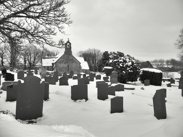
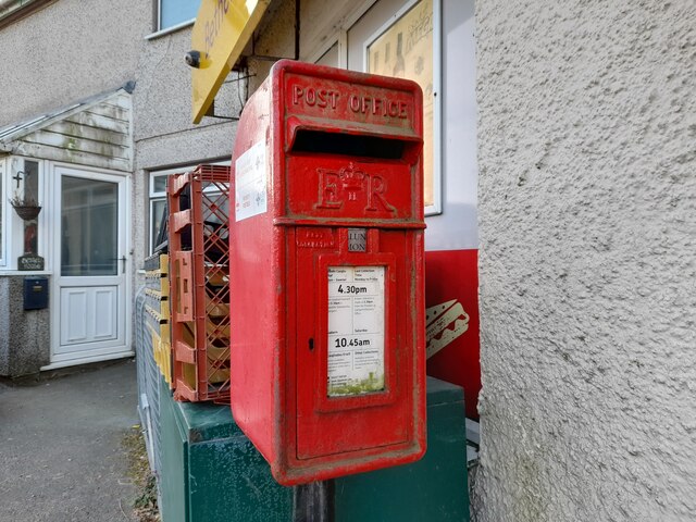
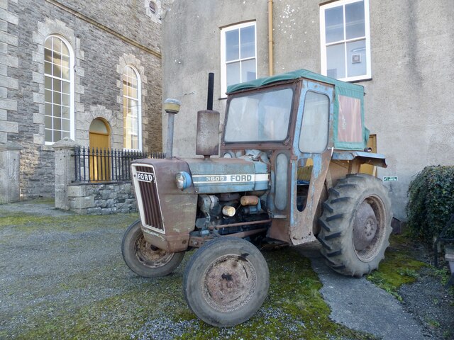
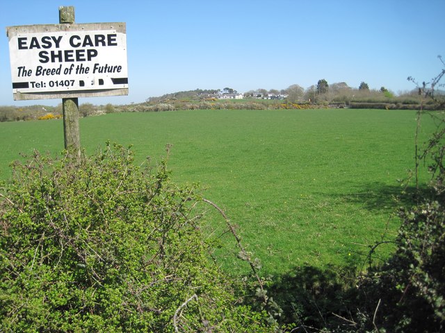
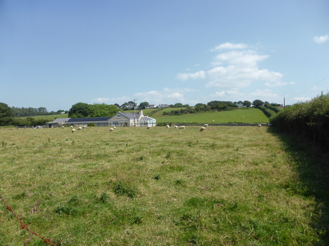
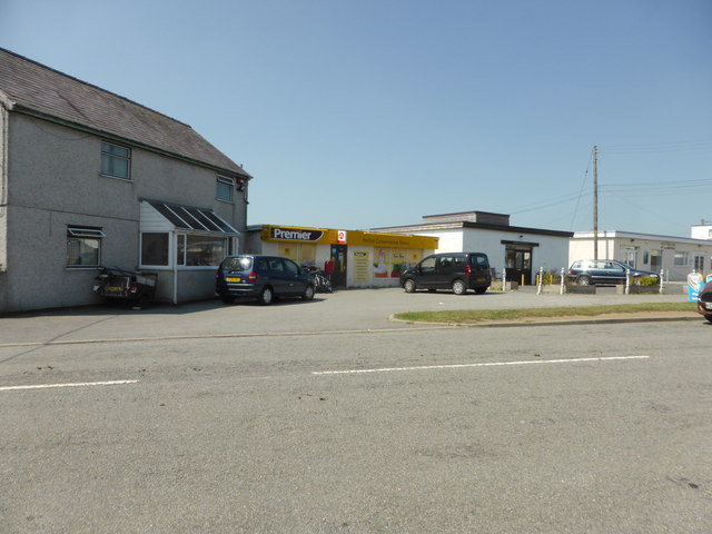
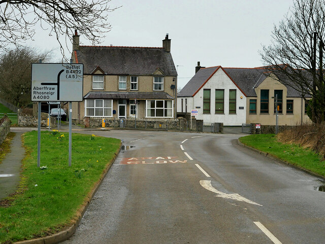
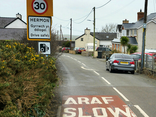
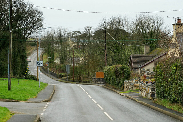
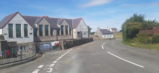
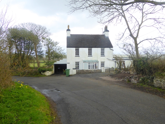
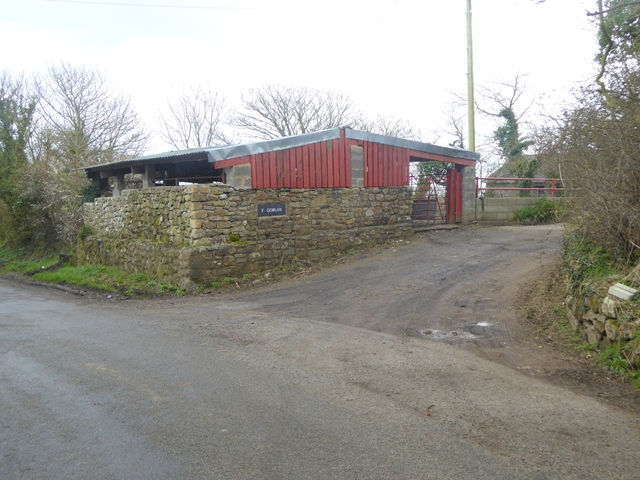
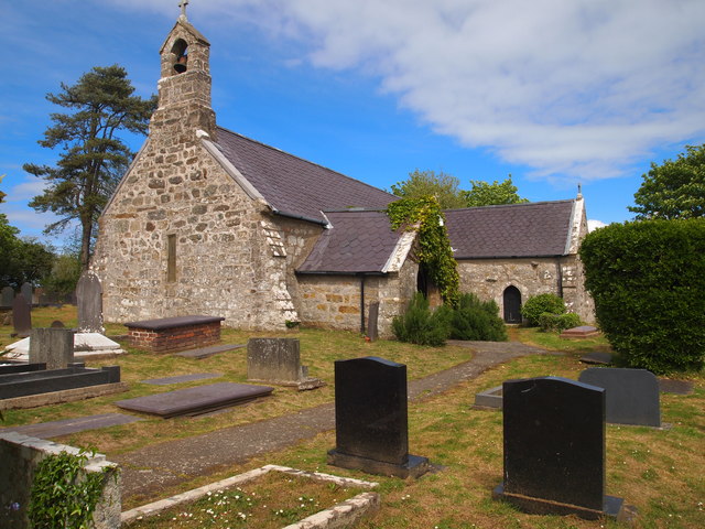
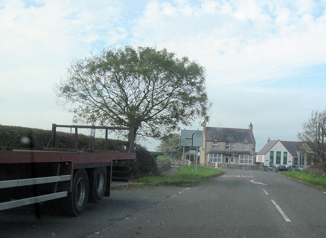
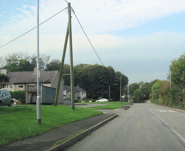
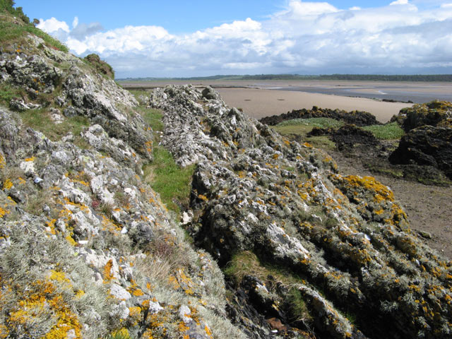
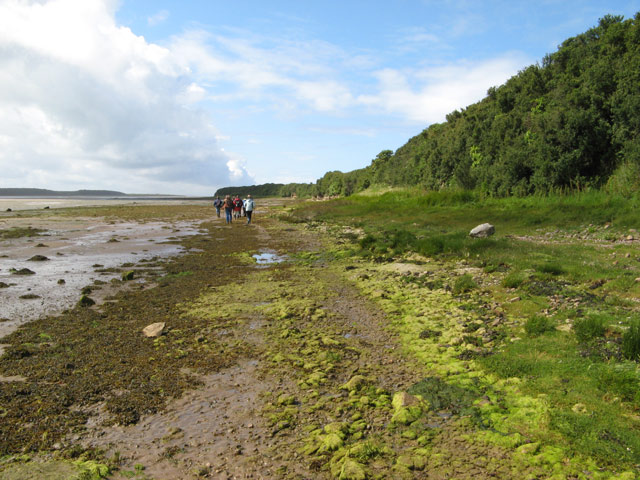
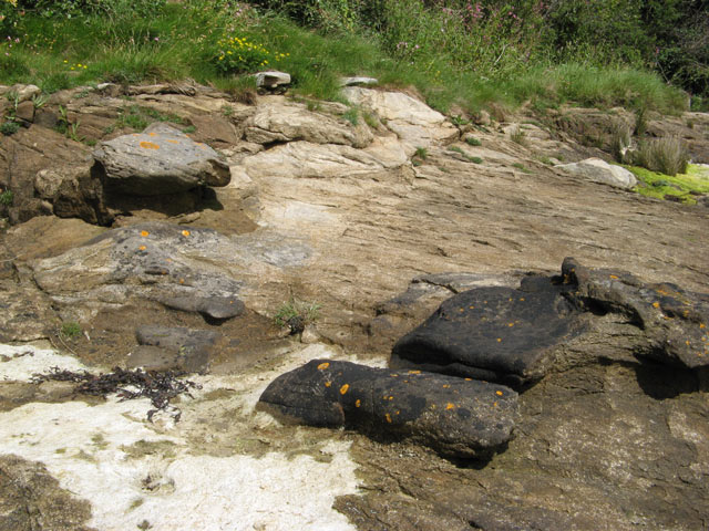
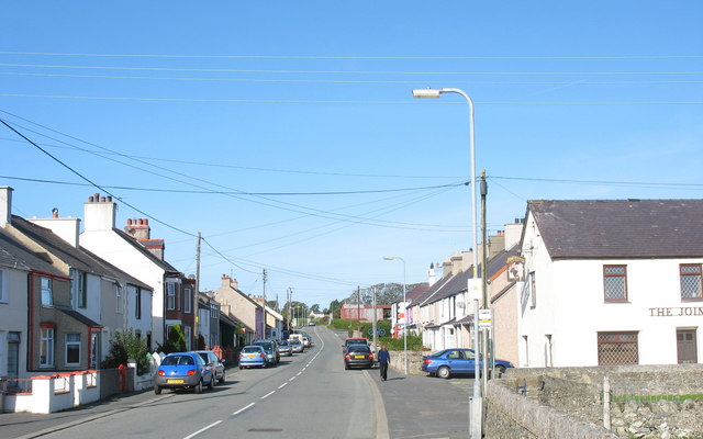
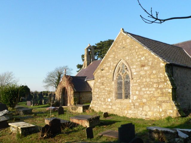
Malldraeth Images

Images are sourced within 2km of 53.193042/-4.391826 or Grid Reference SH4068. Thanks to Geograph Open Source API. All images are credited.

St Beuno's Church Yard in Snow A view of St Beuno's Churchyard, Trefdraeth, Anglesey covered in snow.
St Beuno's Church Yard in Snow
A view of St Beuno's Churchyard, Trefdraeth, Anglesey covered in snow.
Postbox at Bethel,  Anglesey LL62 29. Royal Mail list this box as 'Bethel Post Office'.
Postbox at Bethel, Anglesey
LL62 29. Royal Mail list this box as 'Bethel Post Office'.
3600 Ford tractor This tractor was parked outside Bethel chapel, Bethel, Anglesey.
It was manufactured in 1975-1981.
3600 Ford tractor
This tractor was parked outside Bethel chapel, Bethel, Anglesey. It was manufactured in 1975-1981.
So easy, you'd hardly know they were there! Unusual sign in an empty field near Bethel (telephone number has been edited out).
So easy, you'd hardly know they were there!
Unusual sign in an empty field near Bethel (telephone number has been edited out).
Fields near Bethel
Fields near Bethel
No longer just a shop, it's a Convenience Store! See: <a title="https://www.geograph.org.uk/photo/796116" href="https://www.geograph.org.uk/photo/796116">Link</a>
No longer just a shop, it's a Convenience Store!
See: Link
A4080, west of Malltreath The A4080 road runs for 24½ miles along the southwestern side of Anglesey. It starts on the A5 at Llanfair Pwllgwyngyll and passes through several villages before terminating on the A5 between Bryngwran and Gwalchmai.
A4080, west of Malltreath
The A4080 road runs for 24½ miles along the southwestern side of Anglesey. It starts on the A5 at Llanfair Pwllgwyngyll and passes through several villages before terminating on the A5 between Bryngwran and Gwalchmai.
Hermon Hermon is a village on the island of Anglesey. It is located on the A4080 road, roughly halfway between Newborough and Aberffraw, some 6 miles to the southwest of Llangefni.
Hermon
Hermon is a village on the island of Anglesey. It is located on the A4080 road, roughly halfway between Newborough and Aberffraw, some 6 miles to the southwest of Llangefni.
A4080, Hermon Hermon is a village on the island of Anglesey. It is located on the A4080 road, roughly halfway between Newborough and Aberffraw, some 6 miles to the southwest of Llangefni.
A4080, Hermon
Hermon is a village on the island of Anglesey. It is located on the A4080 road, roughly halfway between Newborough and Aberffraw, some 6 miles to the southwest of Llangefni.
Ysgol Bodorgan
Ysgol Bodorgan
Bryn Llwyn Elegant house to the east of Trefdraeth.
Bryn Llwyn
Elegant house to the east of Trefdraeth.
Barn at Y Gorlan Near Trefdraeth.
Barn at Y Gorlan
Near Trefdraeth.
St Beuno's Church, Trefdraeth
A4080 approaching junction with B4422 Near Ty Mawr
A4080 approaching junction with B4422
Near Ty Mawr
A4080 through Hermon westwards Phone box can be seen on the left beyond the turning
A4080 through Hermon westwards
Phone box can be seen on the left beyond the turning
Sediments ancient and modern Looking over an outcrop of the Gwna Melange, a metamorphosed sedimentary rock of Cambrian age to the contemporary sediments of the Malltraeth Sands. The Afon Cefni channel can be seen in the middle distance, at approximately low tide. The sea-washed rock outcrop has a thick growth of lichens.
Sediments ancient and modern
Looking over an outcrop of the Gwna Melange, a metamorphosed sedimentary rock of Cambrian age to the contemporary sediments of the Malltraeth Sands. The Afon Cefni channel can be seen in the middle distance, at approximately low tide. The sea-washed rock outcrop has a thick growth of lichens.
Tideline walkers A party of geologists walking along the Malltraeth shore on an organised excursion.
Tideline walkers
A party of geologists walking along the Malltraeth shore on an organised excursion.
Concretions in sandstone Variable cementing of the sandstone, Carboniferous in age, by carbonates has resulted in irregular weathering and the appearance of large, dark-coloured nodules on the eroded surfaces. The presence of bedding planes passing straight through some nodules is indicative of the structure being secondary in nature. The dark colour is largely due to the slow ablation of the surface compared to less heavily-cemented areas, and the surface is stable enough to be colonised by lichens (yellow Caloplaca is prominent).
Concretions in sandstone
Variable cementing of the sandstone, Carboniferous in age, by carbonates has resulted in irregular weathering and the appearance of large, dark-coloured nodules on the eroded surfaces. The presence of bedding planes passing straight through some nodules is indicative of the structure being secondary in nature. The dark colour is largely due to the slow ablation of the surface compared to less heavily-cemented areas, and the surface is stable enough to be colonised by lichens (yellow Caloplaca is prominent).
Show me another place!

Malldraeth is located at Grid Ref: SH4068 (Lat: 53.193042, Lng: -4.391826)

Unitary Authority: Isle of Anglesey

Police Authority: North Wales

Also known as: Malltraeth

What 3 Words

///noun.kettles.altering. Near Gaerwen, Isle of Anglesey

Related Wikis

Malltraeth

Malltraeth (origin: Mall (corrupt, blasted, desolate, + Traeth (beach))) is a small village in the southwest of Anglesey, in the community of Bodorgan...
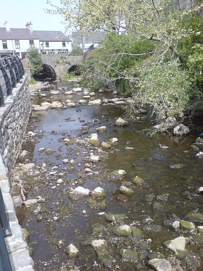
Afon Cefni

Afon Cefni is one of the major rivers on the island of Anglesey, Wales. It is 16.9 kilometres (11 mi) long. Its source is near to the village of Capel...

Hermon, Anglesey

Hermon is a village in Anglesey, in north-west Wales. It is located roughly halfway between Newborough and Aberffraw, some 6 miles south-west of Llangefni...

Trefdraeth

Trefdraeth is a hamlet in Anglesey, Wales, within the community of Bodorgan about 5 miles (8 km) southwest of the county town of Llangefni.Trefdraeth's...

Nearby Amenities

Located within 500m of 53.193042,-4.391826
Source: PGS
Lat/Long: 53.1891011/-4.3932291
Source: PGS
Lat/Long: 53.1898174/-4.390636
Source: PGS
Lat/Long: 53.1910409/-4.3879071
Source: PGS
Lat/Long: 53.1917395/-4.3872502
Source: PGS
Lat/Long: 53.1920131/-4.3850868
Source: PGS
Waterway: weir
Lat/Long: 53.1917906/-4.3847657
Source: PGS
Lat/Long: 53.1917178/-4.3846927
Noexit: yes
Lat/Long: 53.1933137/-4.3881323
Malltraeth
Place: village
Wikidata: Q6744311
Lat/Long: 53.1937487/-4.3869498
Pub
Royal Oak
Wikidata: Q80857641
Lat/Long: 53.1932359/-4.3872539
Barrier: stile
Foot: yes
Lat/Long: 53.190626/-4.3943711
Post Box
Collection Times: Mo-Fr 16:15; Sa 09:15
Operator: Royal Mail
Operator Wikidata: Q638098
Post Box Type: lamp
Ref: LL62 32
Source: survey
Lat/Long: 53.1924388/-4.3857318
Fast Food
Maltraeth Stores
Addr Housename: Cartrefle
Addr Postcode: LL62 5AS
Addr Street: High Street
Cuisine: fish_and_chips
Fhrs Id: 111372
Shop: convenience
Source: survey
Lat/Long: 53.1927579/-4.3864616
Barrier: kissing_gate
Foot: yes
Lat/Long: 53.1932811/-4.3874794
Source: PGS
Lat/Long: 53.1901304/-4.3895375
Source: PGS
Lat/Long: 53.1907/-4.388202
Source: PGS
Lat/Long: 53.1903007/-4.3893125
Source: PGS
Lat/Long: 53.1893223/-4.392414
Source: PGS
Lat/Long: 53.189665/-4.3911655
Source: PGS
Lat/Long: 53.1895116/-4.3919512
Source: PGS
Lat/Long: 53.1888888/-4.3940657
Source: PGS
Lat/Long: 53.1912548/-4.3875429
Source: PGS
Lat/Long: 53.191876/-4.386107
Pub
Joiners Arms
Addr Postcode: LL62 5AS
Addr Street: High Street
Check Date: 2023-07-23
Fhrs Id: 315812
Source: survey
Source Addr: FHRS Open Data
Wikidata: Q80857639
Lat/Long: 53.1926805/-4.3857048
Power: pole
Lat/Long: 53.1974676/-4.3915138
Power: pole
Lat/Long: 53.1973648/-4.3906047
Power: pole
Lat/Long: 53.1972547/-4.3897114
Power: substation
Lat/Long: 53.193488/-4.388142
Barrier: height_restrictor
Maxheight: 6'6"
Lat/Long: 53.1922052/-4.3856354
Power: pole
Lat/Long: 53.1973454/-4.3897046
Power: pole
Lat/Long: 53.1971341/-4.3887511
Direction: SE
Generator Method: photovoltaic
Generator Output Electricity: yes
Generator Solar Modules: 4
Generator Source: solar
Generator Type: solar_photovoltaic_panel
Location: roof
Power: generator
Lat/Long: 53.1906289/-4.3921018
Direction: 170
Generator Method: photovoltaic
Generator Output Electricity: yes
Generator Solar Modules: 12
Generator Source: solar
Generator Type: solar_photovoltaic_panel
Location: roof
Power: generator
Lat/Long: 53.192483/-4.3888342
Direction: 125
Generator Method: photovoltaic
Generator Output Electricity: yes
Generator Solar Modules: 10
Generator Source: solar
Generator Type: solar_photovoltaic_panel
Location: roof
Power: generator
Lat/Long: 53.1910583/-4.3912187
Direction: SW
Generator Method: photovoltaic
Generator Output Electricity: yes
Generator Solar Modules: 12
Generator Source: solar
Generator Type: solar_photovoltaic_panel
Location: roof
Power: generator
Lat/Long: 53.1897012/-4.3936837
Direction: SSW
Generator Method: photovoltaic
Generator Output Electricity: yes
Generator Solar Modules: 16
Generator Source: solar
Generator Type: solar_photovoltaic_panel
Location: roof
Power: generator
Lat/Long: 53.1900395/-4.3930949
Direction: SE
Generator Method: photovoltaic
Generator Output Electricity: yes
Generator Solar Modules: 12
Generator Source: solar
Generator Type: solar_photovoltaic_panel
Location: roof
Power: generator
Lat/Long: 53.1906084/-4.3920623
Direction: SW
Generator Method: photovoltaic
Generator Output Electricity: yes
Generator Solar Modules: 16
Generator Source: solar
Generator Type: solar_photovoltaic_panel
Location: roof
Power: generator
Lat/Long: 53.1922142/-4.3897033
Bicycle Parking
Bicycle Parking: stands
Capacity: 4
Covered: no
Fee: no
Lat/Long: 53.1921913/-4.3856957
Direction: SSW
Generator Method: photovoltaic
Generator Output Electricity: yes
Generator Solar Modules: 8
Generator Source: solar
Generator Type: solar_photovoltaic_panel
Location: roof
Power: generator
Lat/Long: 53.1944485/-4.3847016
Fixme: longer than this
Lat/Long: 53.1951791/-4.3947759
Barrier: stile
Material: stone
Step Count: 2
Stile: stepover
Lat/Long: 53.1955211/-4.3944279
Parking
Capacity: 3
Parking: shoulder
Lat/Long: 53.1921146/-4.3851617
Traffic Mirror
Direction: SE-SW
Lat/Long: 53.1922609/-4.385188
Speed Display
Direction: SE
Lat/Long: 53.192015/-4.3850199
The data included in this document is from www.openstreetmap.org. The data is made available under ODbL.

Have you been to Malldraeth?

Leave your review of Malldraeth below (or comments, questions and feedback).