Church End
Settlement in Buckinghamshire
England
Church End
Church End is a small village located in the county of Buckinghamshire, England. Situated about 4 miles northwest of Aylesbury, it falls within the civil parish of Quainton. The village is characterized by its picturesque setting and tranquil atmosphere, making it an ideal place for those seeking a peaceful retreat away from the hustle and bustle of urban life.
The heart of Church End revolves around its charming medieval church, which stands as a prominent landmark in the village. St. Mary's Church, dating back to the 13th century, showcases stunning architectural features, including a beautiful stained glass window and an intricately carved wooden pulpit. The churchyard provides a serene space for reflection and is dotted with ancient gravestones.
Surrounded by rolling countryside, Church End offers ample opportunities for outdoor activities and exploration. The nearby Quainton Hills Nature Reserve provides scenic walking trails, allowing visitors to immerse themselves in the natural beauty of the area. Additionally, the village is within close proximity to the Chiltern Hills, an Area of Outstanding Natural Beauty, which offers breathtaking views and a range of outdoor pursuits.
Despite its small size, Church End is not devoid of amenities. A quaint village hall hosts various community events, allowing residents to come together and foster a sense of belonging. Furthermore, the village benefits from good transportation links, with easy access to major roads and nearby towns.
Overall, Church End, Buckinghamshire, is a charming village that exudes a sense of history and offers a tranquil retreat for those seeking rural beauty and a tight-knit community spirit.
If you have any feedback on the listing, please let us know in the comments section below.
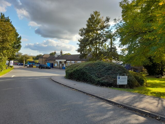
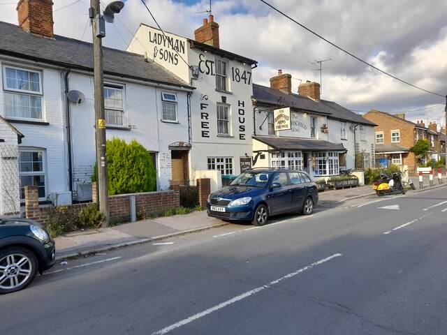
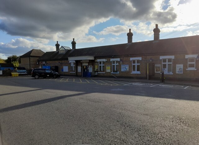
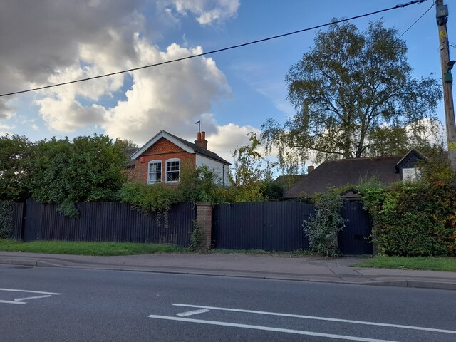
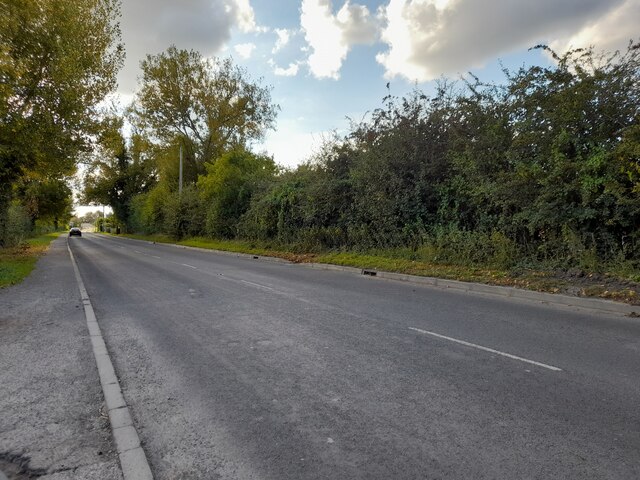
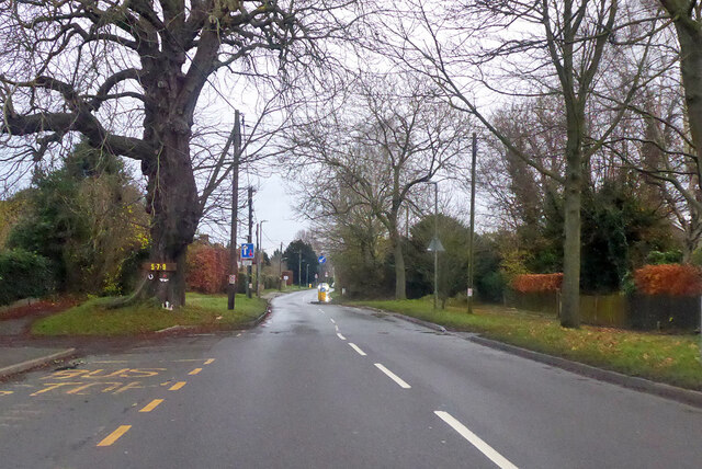
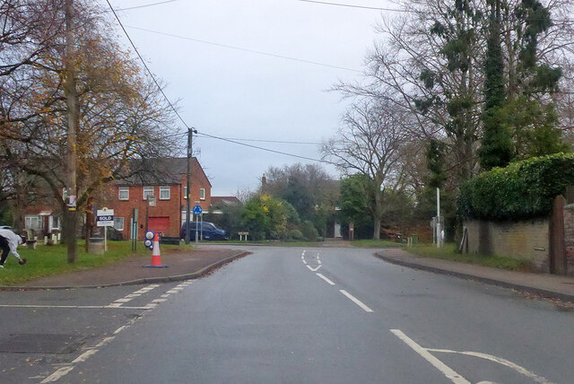
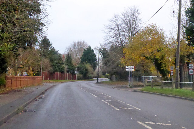
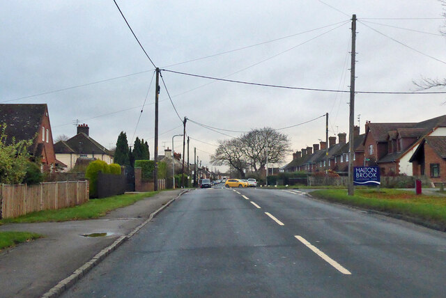
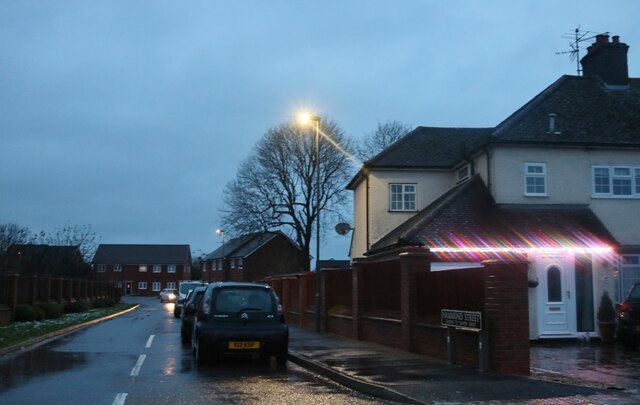
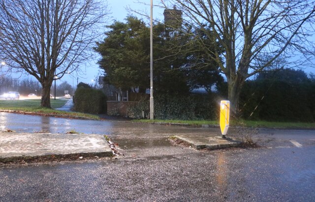
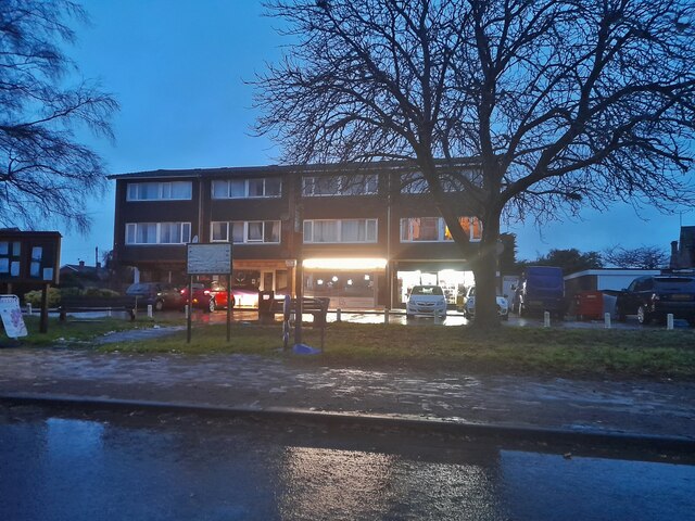
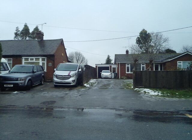
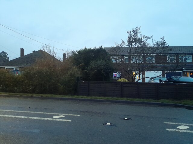
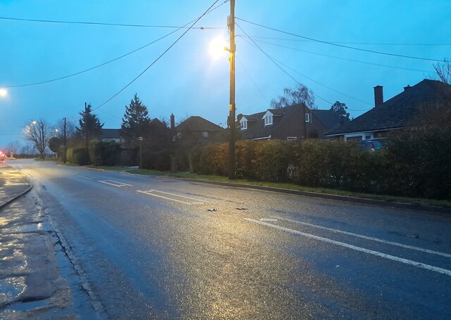
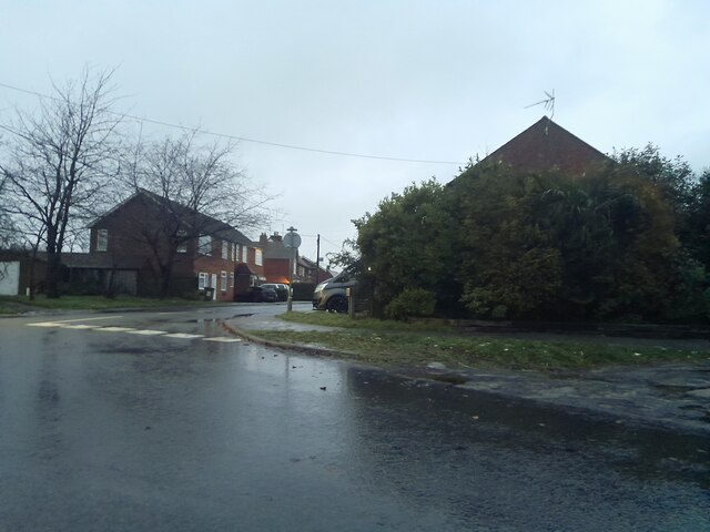
Church End Images
Images are sourced within 2km of 51.787569/-0.75567553 or Grid Reference SP8510. Thanks to Geograph Open Source API. All images are credited.

Church End is located at Grid Ref: SP8510 (Lat: 51.787569, Lng: -0.75567553)
Unitary Authority: Buckinghamshire
Police Authority: Thames Valley
What 3 Words
///pasting.redefined.older. Near Weston Turville, Buckinghamshire
Nearby Locations
Related Wikis

Weston Turville
Weston Turville is a historic village and civil parish in the Vale of Aylesbury in Buckinghamshire, England. The village is at the foot of the Chiltern...
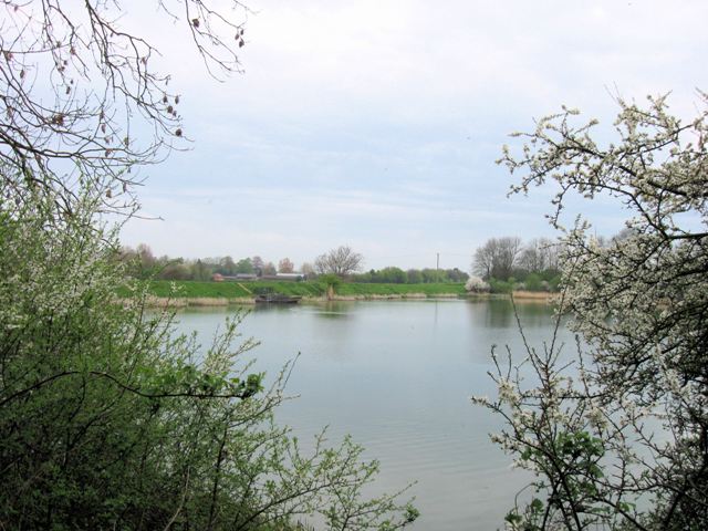
Weston Turville Reservoir
Weston Turville Reservoir is a 19 hectare biological Site of Special Scientific Interest south of Weston Turville in Buckinghamshire. It is owned by the...

World's End, Buckinghamshire
World's End is a hamlet 0.5 miles (0.80 km) north of Wendover, Buckinghamshire. It is part of the civil parish of Wendover which is in Aylesbury Vale district...
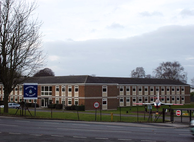
RAF Halton
Royal Air Force Halton, or more simply RAF Halton, is one of the largest Royal Air Force stations in the United Kingdom. It is located near the village...
Nearby Amenities
Located within 500m of 51.787569,-0.75567553Have you been to Church End?
Leave your review of Church End below (or comments, questions and feedback).