Weston Turville
Settlement in Buckinghamshire
England
Weston Turville
Weston Turville is a village located in the county of Buckinghamshire, England. Situated about three miles to the southeast of Aylesbury, the village falls within the Aylesbury Vale district. It is a small, picturesque settlement with a population of around 2,500 residents.
The village is known for its rich history, dating back to the Roman era when it was an important settlement on the route between Verulamium (St. Albans) and Corinium (Cirencester). The name "Weston" is derived from the Old English words "west" and "tun," meaning west farm or settlement. The addition of "Turville" refers to the Turville family, who were prominent landowners in the area during the medieval period.
One of the notable landmarks in Weston Turville is the Church of St. Mary the Virgin. This beautiful church dates back to the 13th century and features a stunning 15th-century tower. The village also has a number of traditional thatched cottages and historic buildings, adding to its charm and character.
Weston Turville is surrounded by beautiful countryside, offering residents and visitors ample opportunities for outdoor activities such as hiking, cycling, and horse riding. The village has a vibrant community with several local amenities, including a primary school, a village hall, a pub, and a cricket club.
Transport links in Weston Turville are convenient, with regular bus services connecting the village to Aylesbury and surrounding areas. The nearby A41 road provides easy access to major cities such as London and Birmingham.
Overall, Weston Turville is a delightful village that seamlessly blends history, natural beauty, and a strong sense of community.
If you have any feedback on the listing, please let us know in the comments section below.
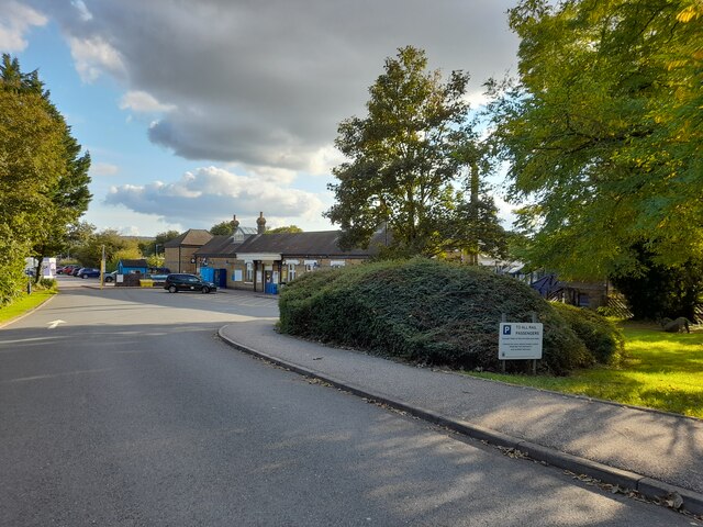
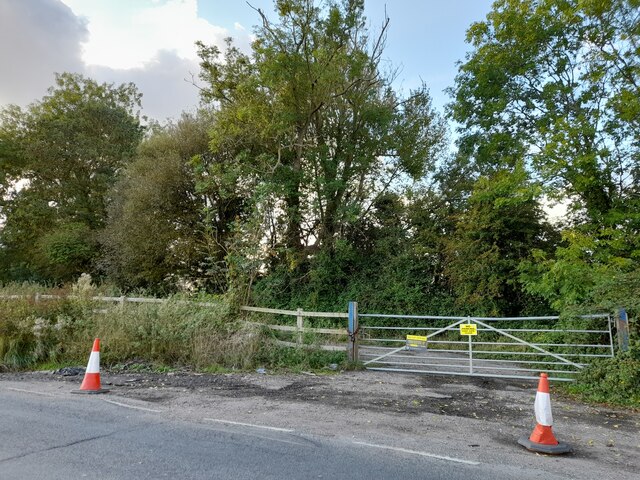
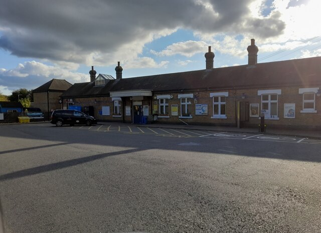
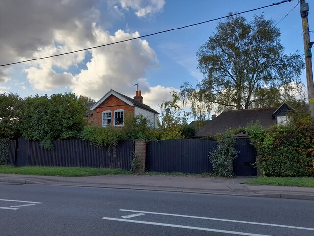
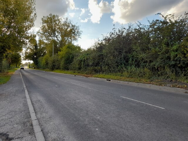
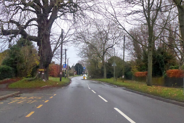
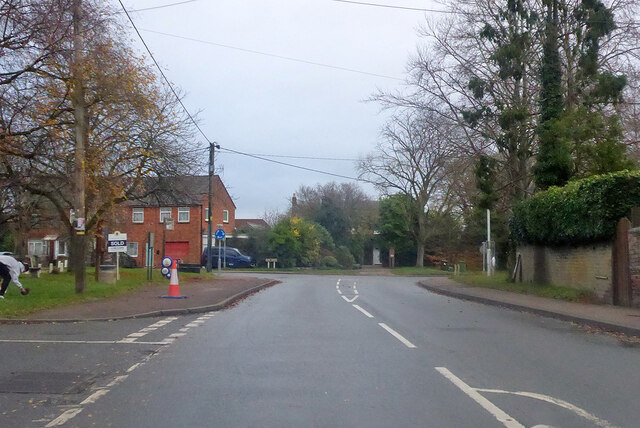
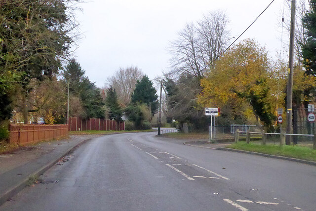
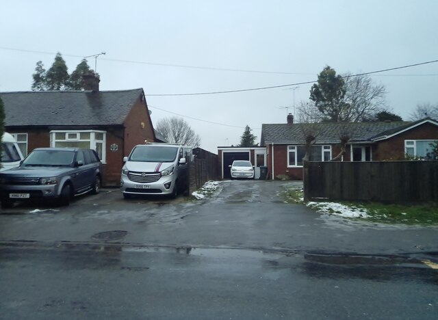
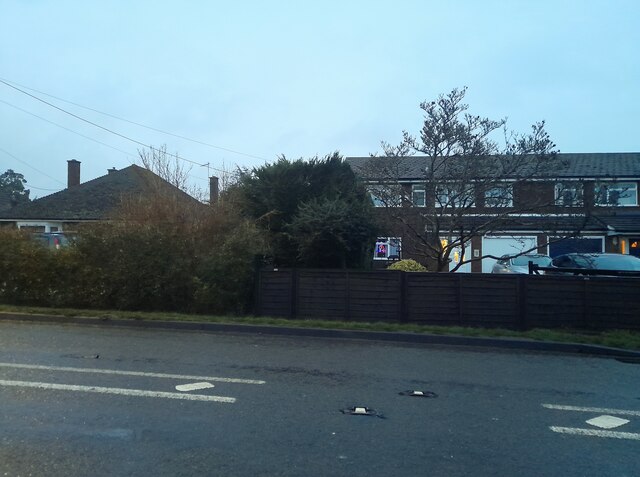
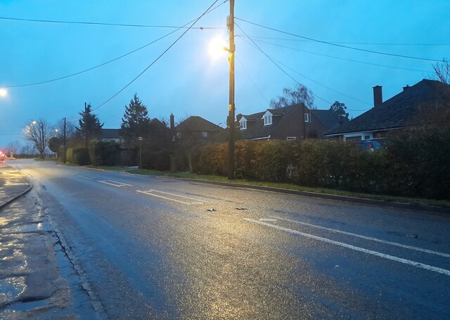
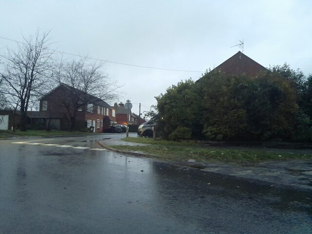
Weston Turville Images
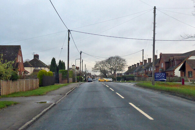
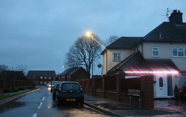
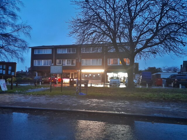
Images are sourced within 2km of 51.790359/-0.76107948 or Grid Reference SP8510. Thanks to Geograph Open Source API. All images are credited.
Weston Turville is located at Grid Ref: SP8510 (Lat: 51.790359, Lng: -0.76107948)
Unitary Authority: Buckinghamshire
Police Authority: Thames Valley
What 3 Words
///though.crusher.passively. Near Weston Turville, Buckinghamshire
Nearby Locations
Related Wikis

Weston Turville
Weston Turville is a historic village and civil parish in the Vale of Aylesbury in Buckinghamshire, England. The village is at the foot of the Chiltern...
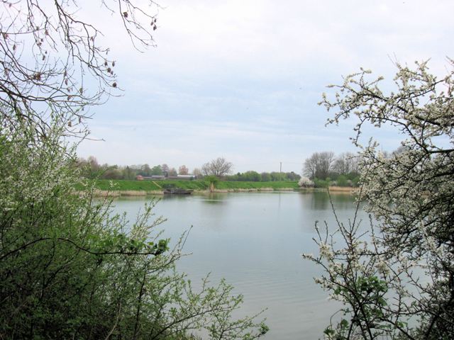
Weston Turville Reservoir
Weston Turville Reservoir is a 19 hectare biological Site of Special Scientific Interest south of Weston Turville in Buckinghamshire. It is owned by the...

Stoke Mandeville railway station
Stoke Mandeville railway station serves the village of Stoke Mandeville, south of Aylesbury in Buckinghamshire, England. The station is on the London...
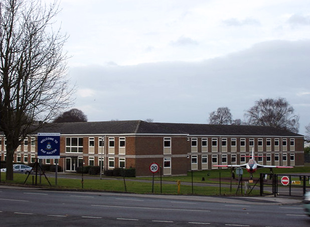
RAF Halton
Royal Air Force Halton, or more simply RAF Halton, is one of the largest Royal Air Force stations in the United Kingdom. It is located near the village...
Nearby Amenities
Located within 500m of 51.790359,-0.76107948Have you been to Weston Turville?
Leave your review of Weston Turville below (or comments, questions and feedback).