West End
Settlement in Buckinghamshire
England
West End
West End is a small village located in the county of Buckinghamshire, England. Situated approximately 7 miles west of High Wycombe, it is nestled in the picturesque Chiltern Hills, an Area of Outstanding Natural Beauty.
This charming village is renowned for its tranquil and idyllic setting, offering residents and visitors a peaceful retreat from the hustle and bustle of city life. The area is characterized by rolling green hills, lush woodlands, and meandering streams, creating a haven for nature lovers and outdoor enthusiasts.
West End is home to a close-knit community, with a population of around 500 residents. The village boasts a range of amenities, including a local pub, a primary school, and a village hall which serves as a hub for social gatherings and events.
History enthusiasts will find much to explore in West End, with several historic buildings dotted throughout the village. Notable landmarks include St. Nicholas Church, which dates back to the 12th century, and West Wycombe Park, a magnificent Palladian mansion surrounded by landscaped gardens and parkland.
For those seeking recreational activities, West End offers plenty of opportunities. The Chilterns provide ample walking and cycling routes, allowing visitors to immerse themselves in the stunning countryside. The nearby town of High Wycombe offers a wide range of leisure facilities, including a cinema, shopping centers, and sports clubs.
Overall, West End, Buckinghamshire, is a charming village that offers a peaceful and picturesque retreat, boasting a rich history and a strong sense of community.
If you have any feedback on the listing, please let us know in the comments section below.
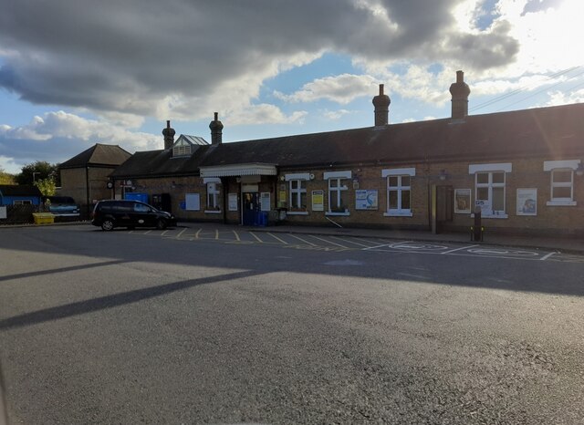
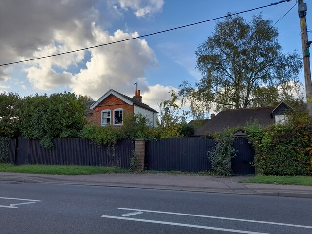
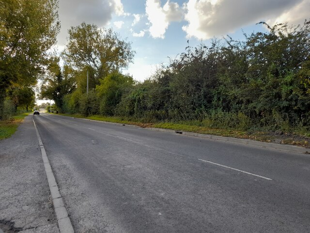
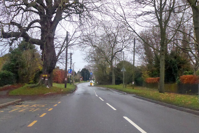
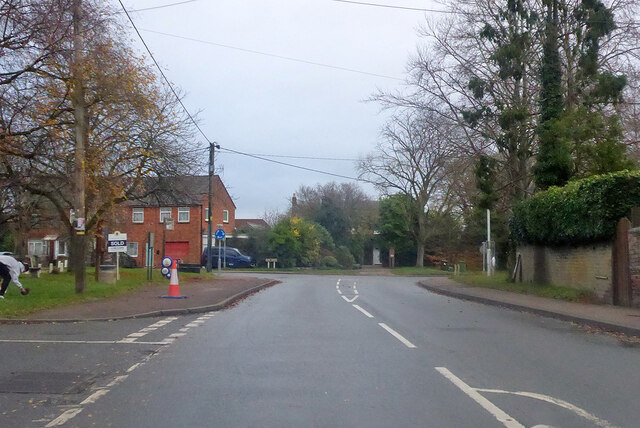
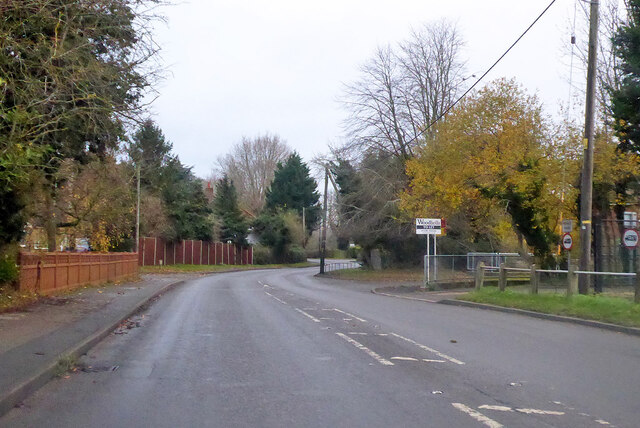
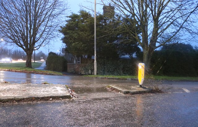
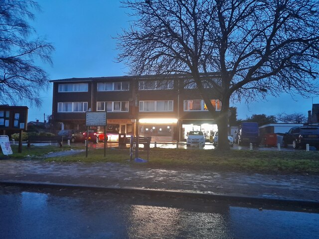
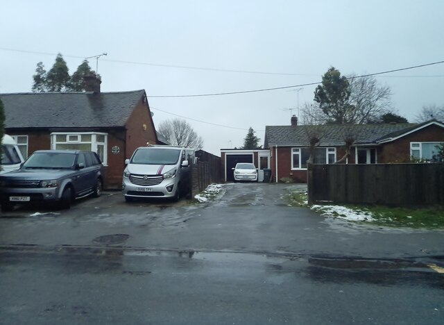
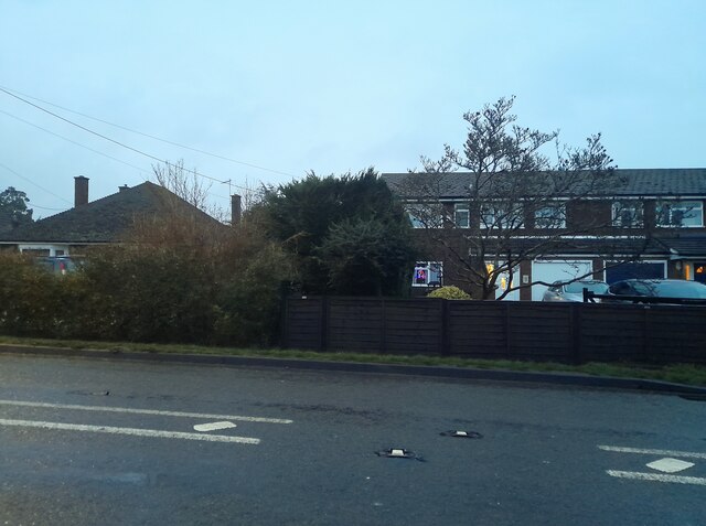
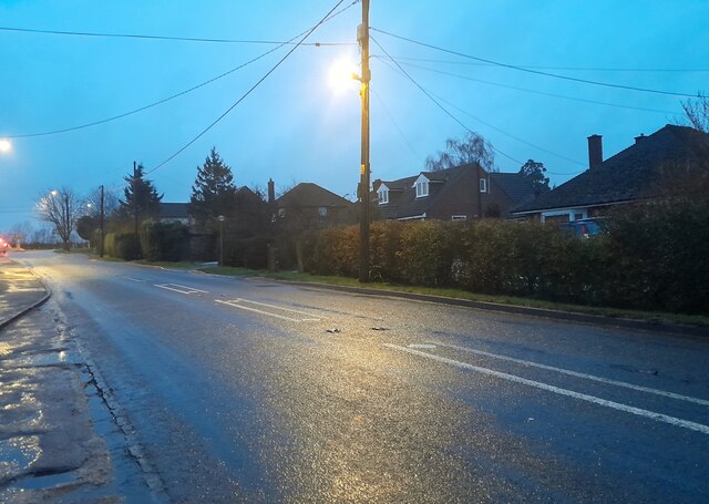
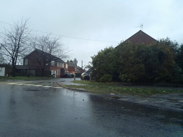
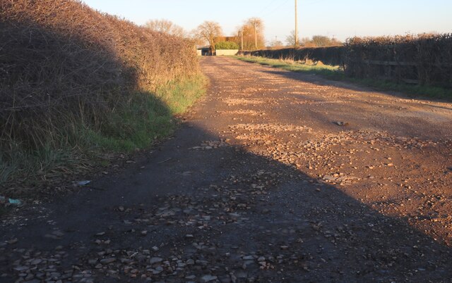
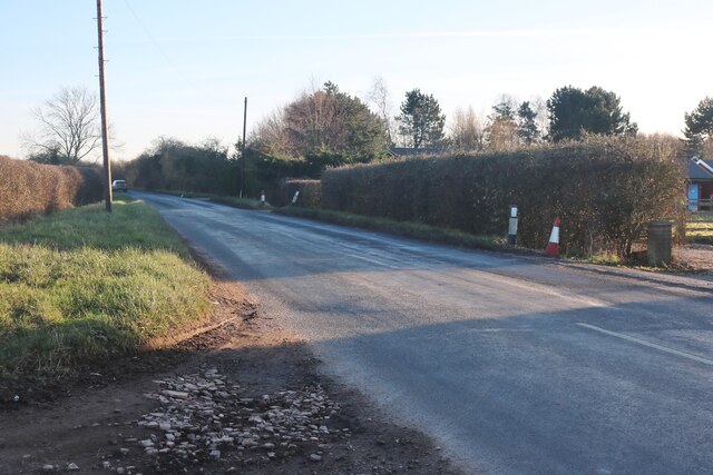
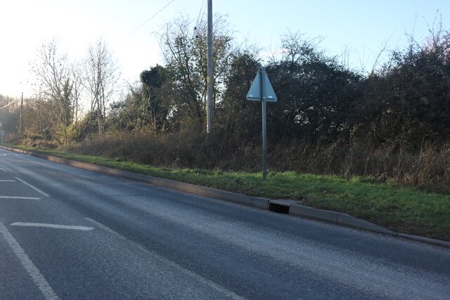
West End Images
Images are sourced within 2km of 51.788318/-0.76449907 or Grid Reference SP8510. Thanks to Geograph Open Source API. All images are credited.
West End is located at Grid Ref: SP8510 (Lat: 51.788318, Lng: -0.76449907)
Unitary Authority: Buckinghamshire
Police Authority: Thames Valley
What 3 Words
///toasted.fuzz.escalated. Near Weston Turville, Buckinghamshire
Nearby Locations
Related Wikis

Weston Turville
Weston Turville is a historic village and civil parish in the Vale of Aylesbury in Buckinghamshire, England. The village is at the foot of the Chiltern...

Stoke Mandeville railway station
Stoke Mandeville railway station serves the village of Stoke Mandeville, south of Aylesbury in Buckinghamshire, England. The station is on the London...
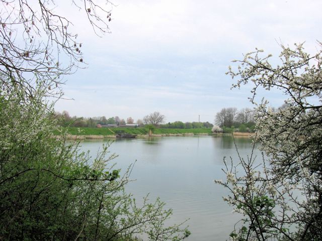
Weston Turville Reservoir
Weston Turville Reservoir is a 19 hectare biological Site of Special Scientific Interest south of Weston Turville in Buckinghamshire. It is owned by the...

World's End, Buckinghamshire
World's End is a hamlet 0.5 miles (0.80 km) north of Wendover, Buckinghamshire. It is part of the civil parish of Wendover which is in Aylesbury Vale district...
Nearby Amenities
Located within 500m of 51.788318,-0.76449907Have you been to West End?
Leave your review of West End below (or comments, questions and feedback).