Carham

Settlement in Northumberland

England

Carham

The River Tweed near Carham Hall A view looking upstream from near Carham Hall, just inside Northumberland.

This photograph was taken during the Coronavirus (COVID-19) pandemic of 2020/21/22.
The River Tweed near Carham Hall Credit: James T M Towill

Carham is a small village located in the county of Northumberland, England. Situated on the banks of the River Tweed, it lies approximately 7 miles south-west of the town of Coldstream and 13 miles north-west of the market town of Wooler.

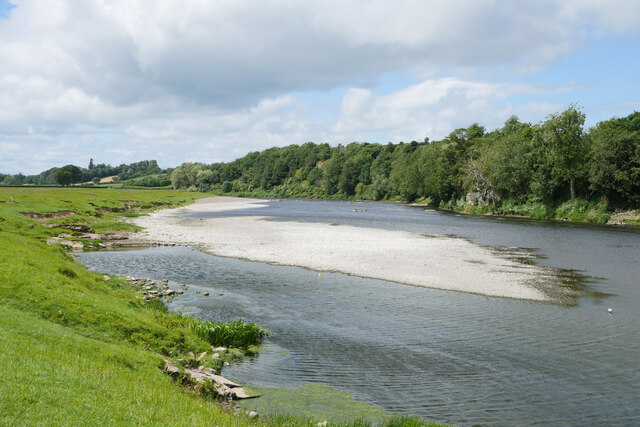
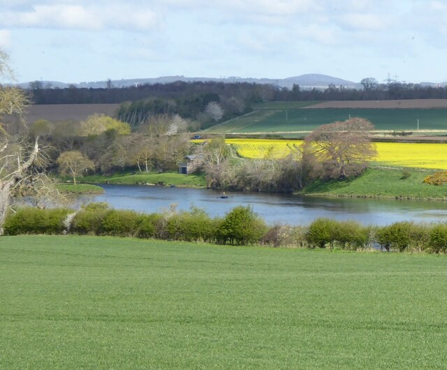
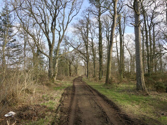
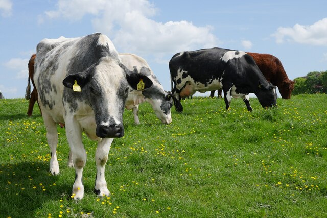
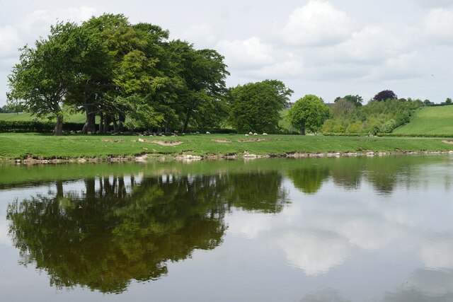
With a population of around 200 residents, Carham is known for its picturesque countryside and historical significance. The village is surrounded by rolling hills and farmland, offering stunning views of the Northumberland landscape. The River Tweed, which runs through the village, provides opportunities for fishing and water activities.

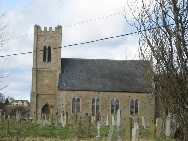
Carham is renowned for its rich history, dating back to Roman times. The village was an important strategic location during the Anglo-Saxon period and played a significant role in the border conflicts between England and Scotland. The ruins of Carham Church, a Grade II listed building, stand as a reminder of the village's past. The church dates back to the 12th century and features architectural elements from various periods.

Despite its small size, Carham offers a range of amenities to its residents and visitors. These include a village hall, a primary school, and a local pub. The village also hosts community events throughout the year, such as fetes and festivals, which bring together the local community.

Overall, Carham is a charming village that combines a rich history with natural beauty, making it an attractive destination for those seeking a peaceful and scenic retreat in Northumberland.

If you have any feedback on the listing, please let us know in the comments section below.
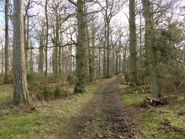
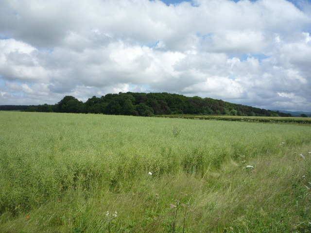
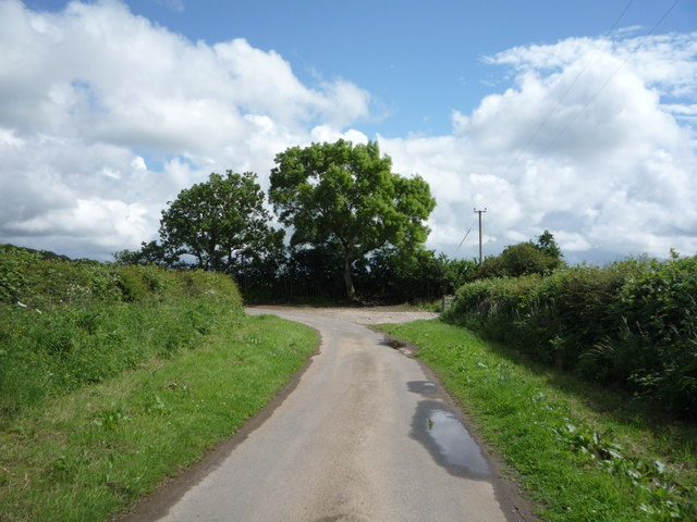
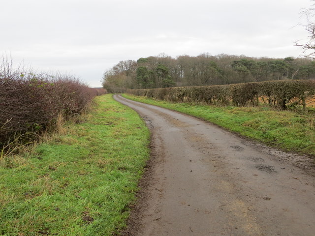
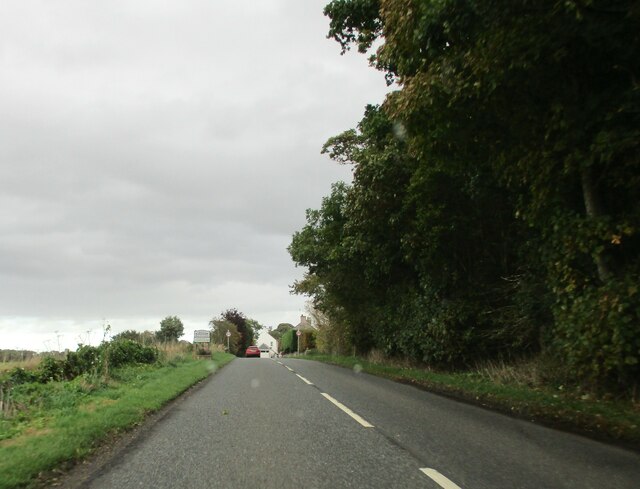
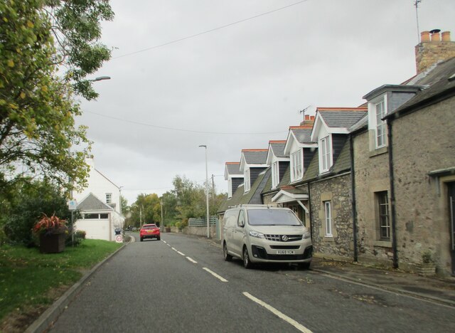
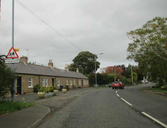
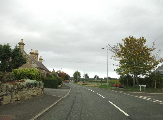
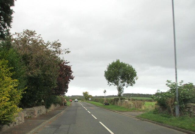
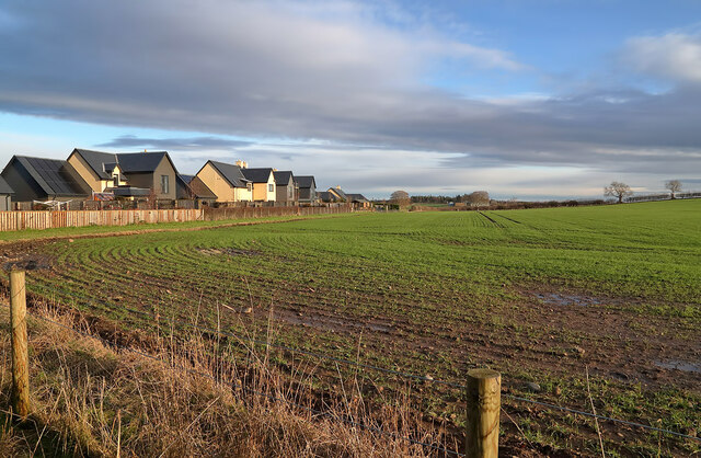
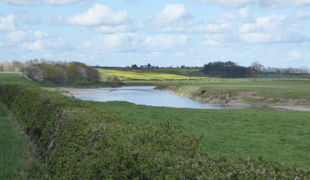
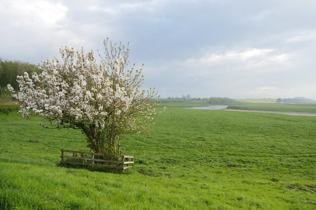
Carham Images

Images are sourced within 2km of 55.638437/-2.3214797 or Grid Reference NT7938. Thanks to Geograph Open Source API. All images are credited.

The River Tweed near Carham Hall A view looking upstream from near Carham Hall, just inside Northumberland.

This photograph was taken during the Coronavirus (COVID-19) pandemic of 2020/21/22.
The River Tweed near Carham Hall
A view looking upstream from near Carham Hall, just inside Northumberland. This photograph was taken during the Coronavirus (COVID-19) pandemic of 2020/21/22.
Carham Hall Carham Hall is a grade II listed building near Carham in Northumberland. The site, on the Scottish border, was previously occupied by a medieval tower house, built as a defence from border reivers.
Carham Hall
Carham Hall is a grade II listed building near Carham in Northumberland. The site, on the Scottish border, was previously occupied by a medieval tower house, built as a defence from border reivers.
The River Tweed Fertile arable land beside the river. 
A fisherman on the river and a fishing station on the far bank.
The River Tweed
Fertile arable land beside the river. A fisherman on the river and a fishing station on the far bank.
Northern edge of Birgham Wood
Birgham Wood
Birgham Wood
Oilseed rape crop towards Birgham Wood
Sharp bend in National Cycle Route 1 Heading south east.
Sharp bend in National Cycle Route 1
Heading south east.
Hedge-lined minor road heading towards Birgham Wood Looking north-eastward.
Hedge-lined minor road heading towards Birgham Wood
Looking north-eastward.
Entering  Birgham  on  the  A698  toward  Coldstream
Entering Birgham on the A698 toward Coldstream
West  end  of  Birgham  with  homemade  traffic  sign To the left of the red car is a pretend policeman and a 20 MPH sign, every little helps if it reminds passing motorists
West end of Birgham with homemade traffic sign
To the left of the red car is a pretend policeman and a 20 MPH sign, every little helps if it reminds passing motorists
Long  Birgham  Cottages  alongside  the  A698
Long Birgham Cottages alongside the A698
Road  junction  in  Birgham,  go  left  for  Blinkbonny It seems a popular name in Scotland, so I Googled it! Blinkbonny is Old Norse for Nice View
Road junction in Birgham, go left for Blinkbonny
It seems a popular name in Scotland, so I Googled it! Blinkbonny is Old Norse for Nice View
Exiting  Birgham  on  A698  toward  Coldstream
Exiting Birgham on A698 toward Coldstream
A large arable field at Birgham The field was viewed from Birgham Cemetery.
A large arable field at Birgham
The field was viewed from Birgham Cemetery.
River Tweed at Carham Viewed from the B6350.
River Tweed at Carham
Viewed from the B6350.
In bloom at Carham A Wild Cherry (Prunus avium) in bloom on the Tweed floodplain at Carham.
In bloom at Carham
A Wild Cherry (Prunus avium) in bloom on the Tweed floodplain at Carham.
Riparian ruminants An inquisitive herd of cattle by the River Tweed at Carham.
Riparian ruminants
An inquisitive herd of cattle by the River Tweed at Carham.
A view across the River Tweed to Birgham Haugh The access track to Birgham Haugh runs alongside this avenue of trees.
A view across the River Tweed to Birgham Haugh
The access track to Birgham Haugh runs alongside this avenue of trees.
Show me another place!

Carham is located at Grid Ref: NT7938 (Lat: 55.638437, Lng: -2.3214797)

Unitary Authority: Northumberland

Police Authority: Northumbria

What 3 Words

///spurted.formal.ribcage. Near Coldstream, Scottish Borders

Related Wikis

Carham

Carham or Carham on Tweed is a village in Northumberland, England. The village lies on the south side of the River Tweed about 3 miles (5 km) west of Coldstream...

Battle of Carham

The Battle of Carham was fought between the English ruler of Bamburgh and the king of Scotland in alliance with the Cumbrians. The encounter took place...
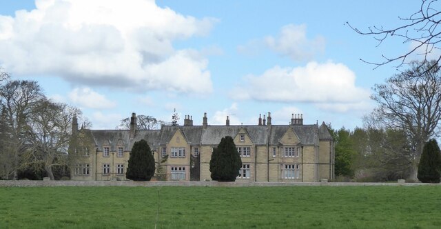
Carham Hall

Carham Hall is a grade II listed building near Carham in Northumberland, England. The site, on the Scottish border, was previously occupied by a medieval...

Birgham

Birgham is a village in Berwickshire, parish of Eccles in the Scottish Borders area of Scotland, near Coldstream and the River Tweed, on the A698....

Nearby Amenities

Located within 500m of 55.638437,-2.3214797
Carham
Place: village
Wikidata: Q2609630
Wikipedia: en:Carham
Lat/Long: 55.6384145/-2.3218567
Post Box
Operator: Royal Mail
Post Box Type: wall
Ref: TD12 47
Royal Cypher: EVIIR
Royal Cypher Wikidata: Q33102324
Lat/Long: 55.6388412/-2.3203791
Public Bookcase
Carham Visitor Centre
Booth: K6
Disused Amenity: telephone
Man Made: telephone_box
Operator: Carham 1018
Public Bookcase Type: phone_box
Tourism: information
Lat/Long: 55.6382564/-2.3219795
Shelter
Shelter Type: public_transport
Lat/Long: 55.63892/-2.3201279
The data included in this document is from www.openstreetmap.org. The data is made available under ODbL.

Have you been to Carham?

Leave your review of Carham below (or comments, questions and feedback).