Cargate
Settlement in Suffolk West Suffolk
England
Cargate
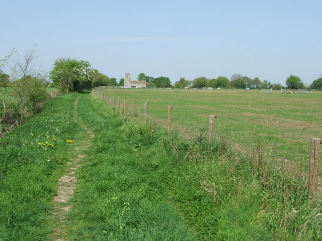
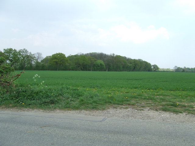
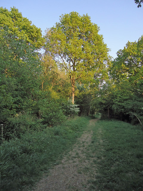
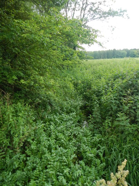
Located in Suffolk, England, Cargate is a small village known for its picturesque countryside and historic charm. The village is situated near the River Stour, providing residents and visitors with stunning views and opportunities for outdoor activities such as fishing and boating. Cargate is surrounded by lush green fields and rolling hills, making it an ideal destination for those seeking a peaceful and tranquil retreat.
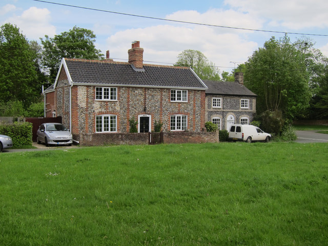
Cargate is home to a tight-knit community of around 500 residents who take pride in their village and its heritage. The village features a mix of traditional cottages, historic buildings, and modern amenities, creating a unique blend of old-world charm and contemporary convenience.
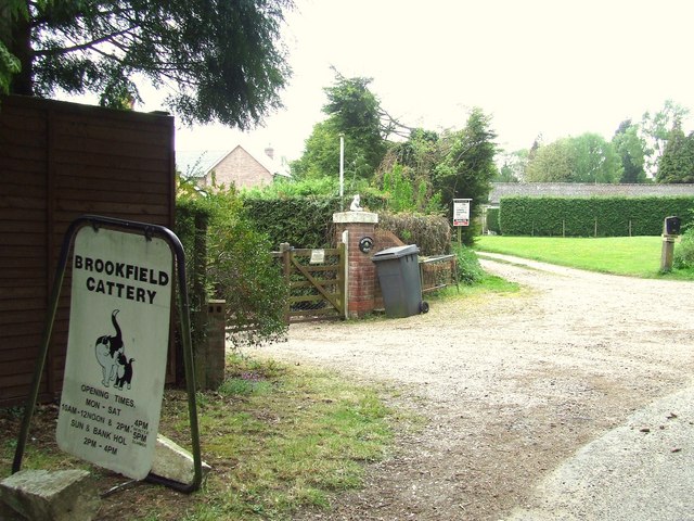
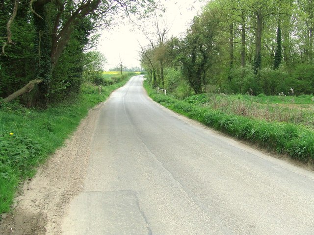
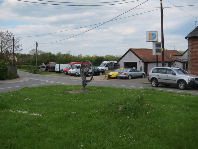
In terms of amenities, Cargate offers a local pub, a village hall, and a small convenience store for residents' daily needs. The village is also well-connected to nearby towns and cities, with easy access to major roads and public transportation.
Overall, Cargate is a hidden gem in Suffolk, offering a quiet and idyllic setting for those looking to escape the hustle and bustle of city life and immerse themselves in the beauty of the English countryside.
If you have any feedback on the listing, please let us know in the comments section below.
Cargate Images
Images are sourced within 2km of 52.187279/0.82316131 or Grid Reference TL9358. Thanks to Geograph Open Source API. All images are credited.
Cargate is located at Grid Ref: TL9358 (Lat: 52.187279, Lng: 0.82316131)
Administrative County: Suffolk
District: West Suffolk
Police Authority: Suffolk
What 3 Words
///blink.eyeful.dote. Near Woolpit, Suffolk
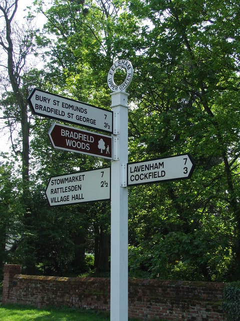
Nearby Locations
Related Wikis

Bradfield Woods
Bradfield Woods is an 81.4-hectare (201-acre) biological Site of Special Scientific Interest between Bury St Edmunds and Stowmarket in Suffolk. The site...

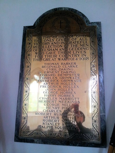
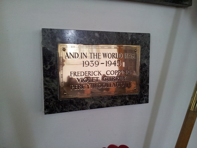
Felsham
Felsham is a village and civil parish in the Mid Suffolk district of Suffolk in eastern England. In 2005 its population was 420. == History == The origin...
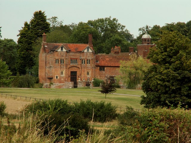
Gedding
Gedding is a village and civil parish in the Mid Suffolk district of Suffolk in eastern England. Located around six miles south east of Bury St Edmunds...

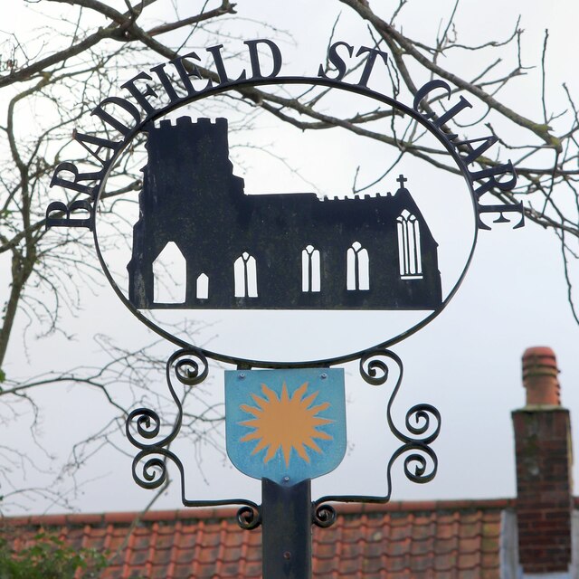
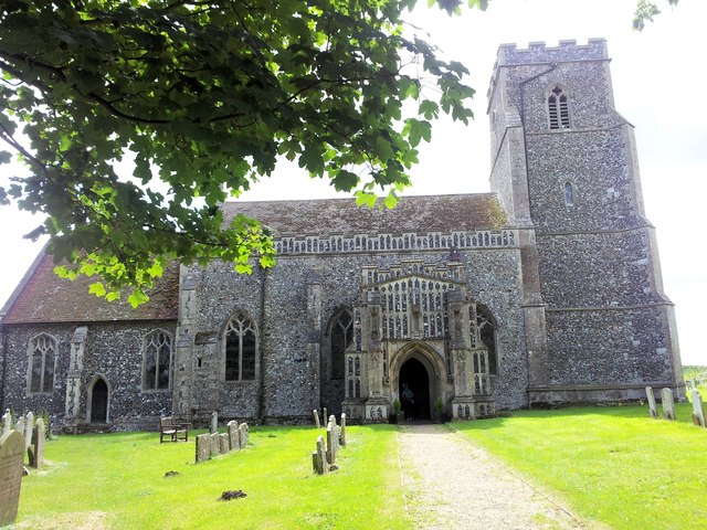
Church of St Clare, Bradfield
The Church of St Clare, Bradfield is the Anglican parish church of Bradfield St Clare, in the district of West Suffolk, Suffolk. The original structure...
Nearby Amenities
Located within 500m of 52.187279,0.82316131Have you been to Cargate?
Leave your review of Cargate below (or comments, questions and feedback).