Carew Mountain
Settlement in Pembrokeshire
Wales
Carew Mountain
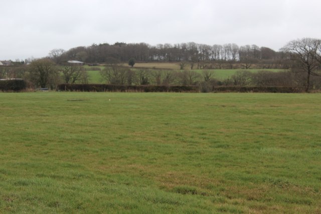
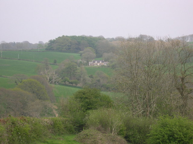
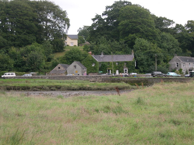
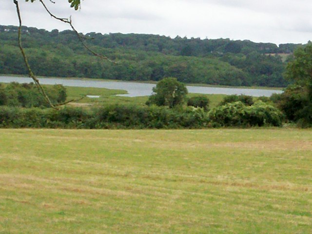
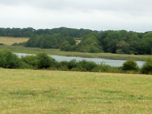
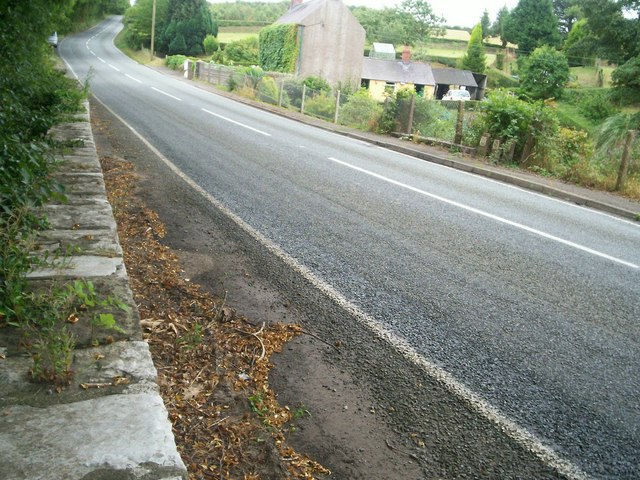
Carew Mountain is a prominent landmark located in the county of Pembrokeshire, Wales. Rising to a height of 97 meters (318 feet), it offers breathtaking views of the surrounding countryside and the nearby Carew Castle. The mountain is situated within the Pembrokeshire Coast National Park, renowned for its stunning natural beauty and diverse wildlife.
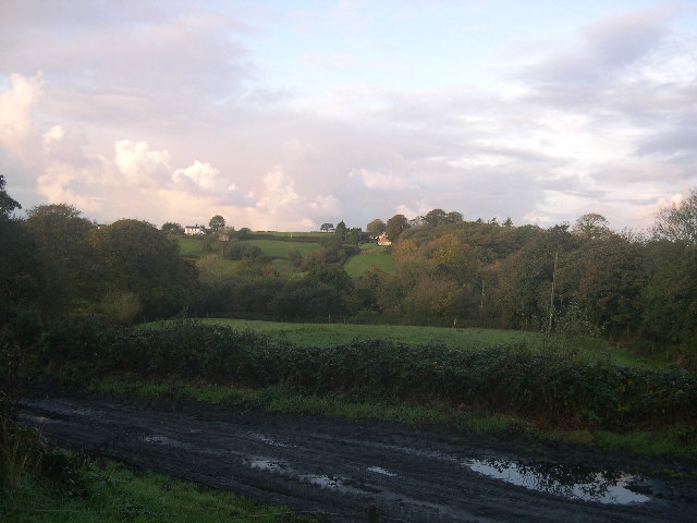
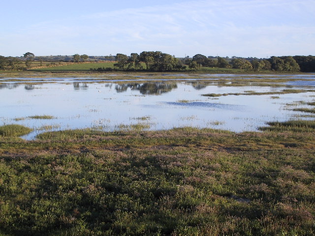
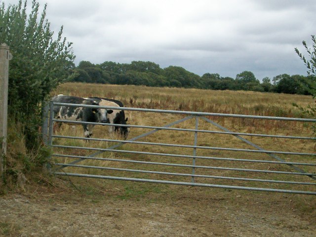
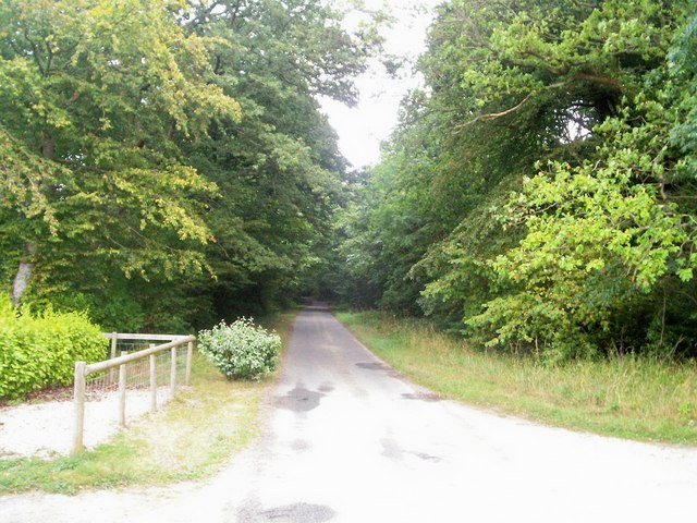
The area surrounding Carew Mountain is characterized by gently rolling hills, lush green meadows, and picturesque farmland. The mountain itself is covered in a patchwork of vibrant heather, gorse, and bracken, providing a stunning display of colors throughout the seasons.
At the top of Carew Mountain, visitors can find an ancient Iron Age hillfort, which is believed to have been constructed around 500 BCE. The hillfort consists of a series of earthworks and defensive ditches, offering a glimpse into the region's rich history and cultural heritage.
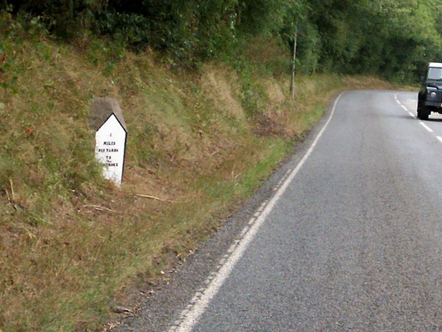
Carew Mountain is a popular destination for outdoor enthusiasts, offering various walking and hiking trails that cater to all levels of fitness. The well-maintained paths lead visitors through the mountain's diverse landscape, allowing them to appreciate the stunning panoramic views and the abundance of flora and fauna along the way.
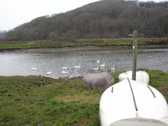
In addition to its natural beauty, Carew Mountain is also home to a wide range of wildlife, including birds of prey, such as buzzards and kestrels, as well as rabbits, foxes, and various species of butterflies.
Overall, Carew Mountain is a must-visit destination for those seeking to immerse themselves in the natural beauty and rich history of Pembrokeshire.
If you have any feedback on the listing, please let us know in the comments section below.
Carew Mountain Images
Images are sourced within 2km of 51.717799/-4.8237172 or Grid Reference SN0505. Thanks to Geograph Open Source API. All images are credited.
Carew Mountain is located at Grid Ref: SN0505 (Lat: 51.717799, Lng: -4.8237172)
Unitary Authority: Pembrokeshire
Police Authority: Dyfed Powys
What 3 Words
///noun.crafted.referral. Near Jeffreyston, Pembrokeshire
Nearby Locations
Related Wikis

Cresswell Castle
Cresswell Castle is a castle half a mile north of the village of Cresswell Quay, Pembrokeshire, west Wales. It is situated on the banks of the River Cresswell...

Cresselly Cricket Club Ground
Cresselly Cricket Club Ground is a cricket ground in Cresselly, Pembrokeshire. The first recorded match on the ground was in 1979, when Welsh Schools...
Cresselly House
Cresselly House is a Georgian country house in the village of Cresselly, near Kilgetty, Pembrokeshire that operates as a country house hotel. It is a Grade...

Carew, Pembrokeshire
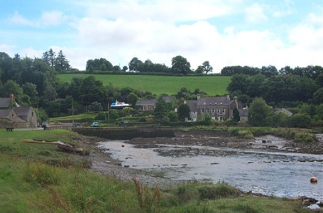
Carew (Welsh: Caeriw) is a village, parish and community on an inlet of Milford Haven in the former Hundred of Narberth, Pembrokeshire, West Wales, 4 miles...

Carew Castle
Carew Castle (Welsh: Castell Caeriw) is a castle in the civil parish of Carew in Pembrokeshire, Wales. The Carew family take their name from this site...
Carew Cross
Carew Cross (Welsh: Croes Caeriw) is an 11th-century Grade I listed monument in the village of Carew, Pembrokeshire, Wales. == Description == The cross...
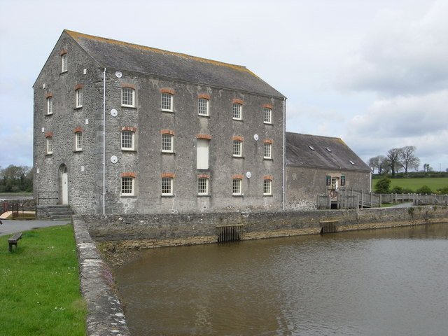
Carew Tidal Mill
Carew Tidal Mill (Welsh: Melin Caeriw), also called the French Mill, is a corn mill in Pembrokeshire, Wales, powered by tidal water. It was built around...

Old Mortuary Chapel, Carew
Old Mortuary Chapel is a medieval Grade I listed building in St Mary's churchyard, Carew, Pembrokeshire, Wales. == Structure == The building has two storeys...
Nearby Amenities
Located within 500m of 51.717799,-4.8237172Have you been to Carew Mountain?
Leave your review of Carew Mountain below (or comments, questions and feedback).