Bloody Breeks

Lake, Pool, Pond, Freshwater Marsh in Berwickshire

England

Bloody Breeks

The River Tweed near Carham Hall A view looking upstream from near Carham Hall, just inside Northumberland.

This photograph was taken during the Coronavirus (COVID-19) pandemic of 2020/21/22.
The River Tweed near Carham Hall Credit: James T M Towill

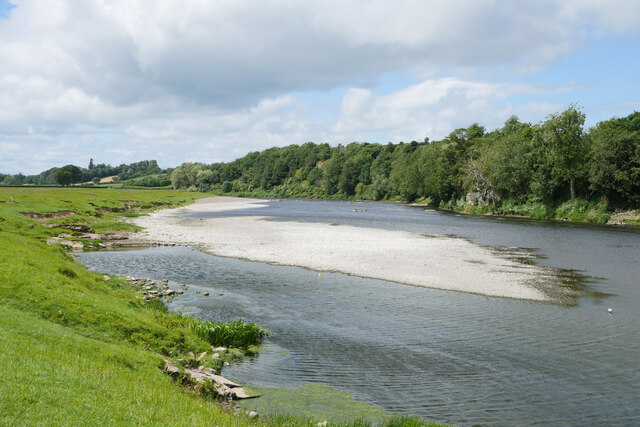
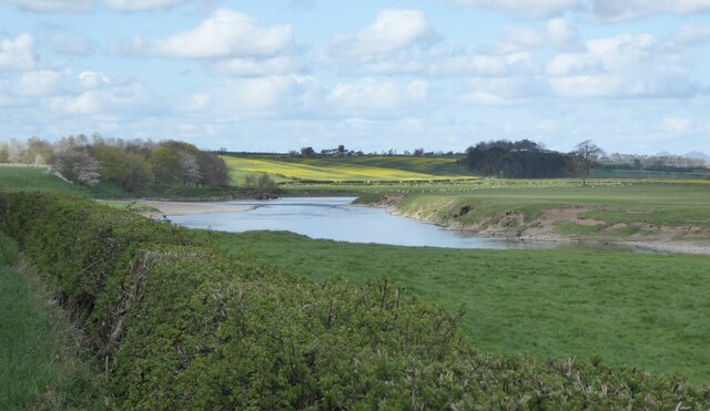
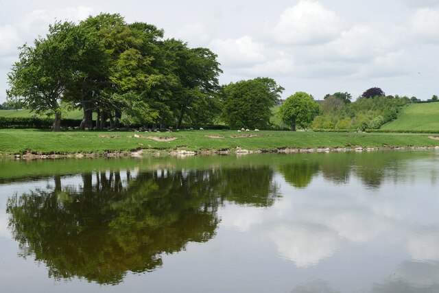
Bloody Breeks is a natural freshwater feature located in the beautiful region of Berwickshire, Scotland. It is often referred to as a lake, pool, pond, or freshwater marsh due to its diverse characteristics and ecological importance.

Nestled amidst rolling hills and picturesque landscapes, Bloody Breeks is a haven for wildlife and nature enthusiasts alike. The water body covers a significant area, providing ample habitat for various aquatic species. Its calm and tranquil waters are home to a plethora of fish, including trout and perch, making it a popular spot for anglers seeking a peaceful fishing experience.

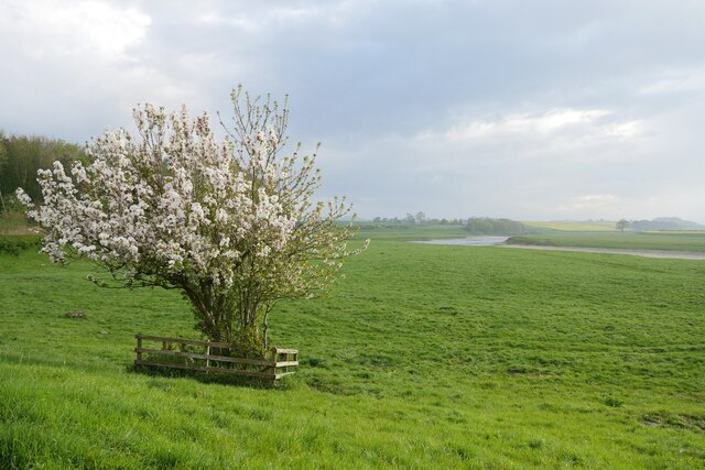
Surrounded by lush vegetation and reeds, Bloody Breeks also acts as a haven for a wide array of bird species. Birdwatchers can spot numerous waterfowl, including ducks, swans, and herons, gracefully gliding across the surface of the water. The surrounding marshland offers a suitable breeding ground for wetland birds, enhancing the diversity of avian life in the area.

The name "Bloody Breeks" is believed to have originated from a historic event that occurred in the vicinity. Legends suggest that a fierce battle took place nearby, resulting in the water turning red with blood. While the historical accuracy of this event is debated, the name has stuck with the location over the years, adding a touch of intrigue to the natural beauty of the area.

Bloody Breeks, Berwickshire, is a captivating freshwater feature that combines scenic beauty with ecological significance. Its serene waters, abundant wildlife, and intriguing history make it a must-visit destination for those seeking a peaceful escape in the heart of Scotland's stunning countryside.

If you have any feedback on the listing, please let us know in the comments section below.

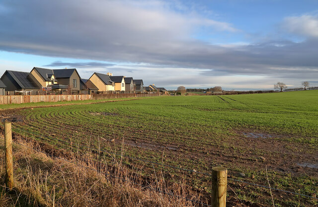
Bloody Breeks Images

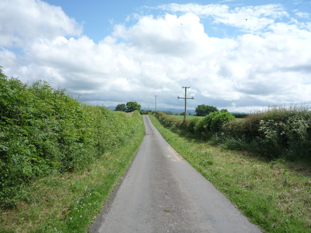
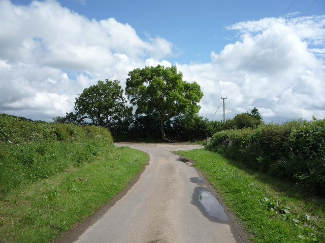
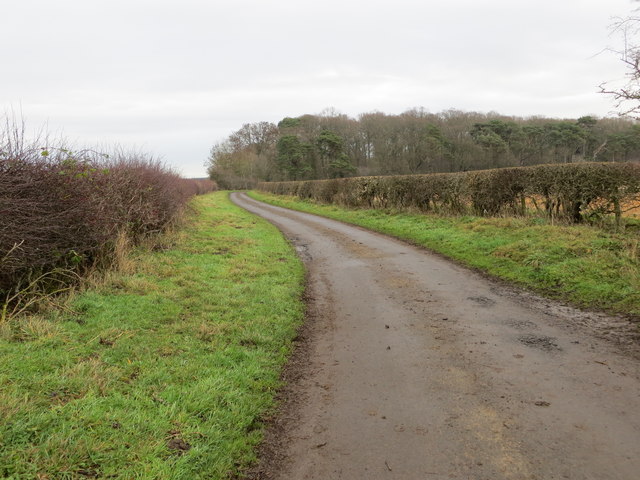
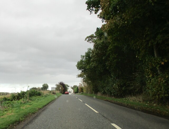
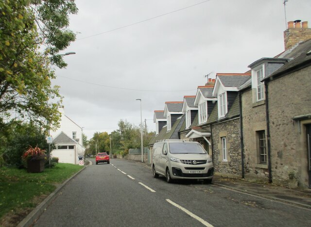
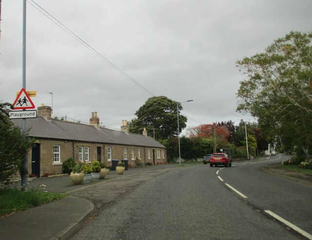
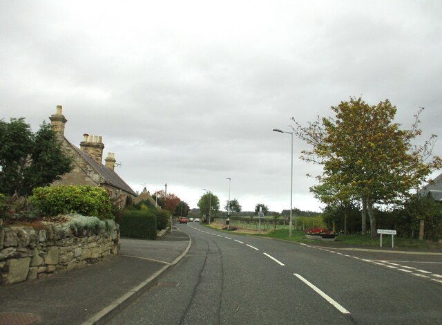
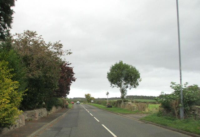
Images are sourced within 2km of 55.641517/-2.325699 or Grid Reference NT7938. Thanks to Geograph Open Source API. All images are credited.

The River Tweed near Carham Hall A view looking upstream from near Carham Hall, just inside Northumberland.

This photograph was taken during the Coronavirus (COVID-19) pandemic of 2020/21/22.
The River Tweed near Carham Hall
A view looking upstream from near Carham Hall, just inside Northumberland. This photograph was taken during the Coronavirus (COVID-19) pandemic of 2020/21/22.
Carham Hall Carham Hall is a grade II listed building near Carham in Northumberland. The site, on the Scottish border, was previously occupied by a medieval tower house, built as a defence from border reivers.
Carham Hall
Carham Hall is a grade II listed building near Carham in Northumberland. The site, on the Scottish border, was previously occupied by a medieval tower house, built as a defence from border reivers.
Oilseed rape crop, Fernyrig
Oilseed rape crop towards Birgham Wood
National Cycle Route 1, Fernyrig Heading south east.
National Cycle Route 1, Fernyrig
Heading south east.
Sharp bend in National Cycle Route 1 Heading south east.
Sharp bend in National Cycle Route 1
Heading south east.
Hedge-lined minor road heading towards Birgham Wood Looking north-eastward.
Hedge-lined minor road heading towards Birgham Wood
Looking north-eastward.
Minor  road  junction  to  Lochton  from  A698
Minor road junction to Lochton from A698
Entering  Birgham  on  the  A698  toward  Coldstream
Entering Birgham on the A698 toward Coldstream
West  end  of  Birgham  with  homemade  traffic  sign To the left of the red car is a pretend policeman and a 20 MPH sign, every little helps if it reminds passing motorists
West end of Birgham with homemade traffic sign
To the left of the red car is a pretend policeman and a 20 MPH sign, every little helps if it reminds passing motorists
Long  Birgham  Cottages  alongside  the  A698
Long Birgham Cottages alongside the A698
Road  junction  in  Birgham,  go  left  for  Blinkbonny It seems a popular name in Scotland, so I Googled it! Blinkbonny is Old Norse for Nice View
Road junction in Birgham, go left for Blinkbonny
It seems a popular name in Scotland, so I Googled it! Blinkbonny is Old Norse for Nice View
Exiting  Birgham  on  A698  toward  Coldstream
Exiting Birgham on A698 toward Coldstream
A large arable field at Birgham The field was viewed from Birgham Cemetery.
A large arable field at Birgham
The field was viewed from Birgham Cemetery.
River Tweed at Carham Viewed from the B6350.
River Tweed at Carham
Viewed from the B6350.
In bloom at Carham A Wild Cherry (Prunus avium) in bloom on the Tweed floodplain at Carham.
In bloom at Carham
A Wild Cherry (Prunus avium) in bloom on the Tweed floodplain at Carham.
Riparian ruminants An inquisitive herd of cattle by the River Tweed at Carham.
Riparian ruminants
An inquisitive herd of cattle by the River Tweed at Carham.
A view across the River Tweed to Birgham Haugh The access track to Birgham Haugh runs alongside this avenue of trees.
A view across the River Tweed to Birgham Haugh
The access track to Birgham Haugh runs alongside this avenue of trees.
Show me another place!

Bloody Breeks is located at Grid Ref: NT7938 (Lat: 55.641517, Lng: -2.325699)

Unitary Authority: Northumberland

Police Authority: Northumbria

What 3 Words

///discloses.expectant.restriction. Near Coldstream, Scottish Borders

Related Wikis

Carham

Carham or Carham on Tweed is a village in Northumberland, England. The village lies on the south side of the River Tweed about 3 miles (5 km) west of Coldstream...

Battle of Carham

The Battle of Carham was fought between the English ruler of Bamburgh and the king of Scotland in alliance with the Cumbrians. The encounter took place...

Birgham

Birgham is a village in Berwickshire, parish of Eccles in the Scottish Borders area of Scotland, near Coldstream and the River Tweed, on the A698....
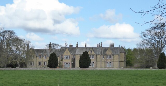
Carham Hall

Carham Hall is a grade II listed building near Carham in Northumberland, England. The site, on the Scottish border, was previously occupied by a medieval...

Nearby Amenities

Located within 500m of 55.641517,-2.325699
Carham
Place: village
Wikidata: Q2609630
Wikipedia: en:Carham
Lat/Long: 55.6384145/-2.3218567
Post Box
Operator: Royal Mail
Post Box Type: wall
Ref: TD12 47
Royal Cypher: EVIIR
Royal Cypher Wikidata: Q33102324
Lat/Long: 55.6388412/-2.3203791
Site of Chapel
Historic: archaeological_site
Lat/Long: 55.6449415/-2.3288012
Well
Natural: spring
Lat/Long: 55.6432342/-2.3292099
Public Bookcase
Carham Visitor Centre
Booth: K6
Disused Amenity: telephone
Man Made: telephone_box
Operator: Carham 1018
Public Bookcase Type: phone_box
Tourism: information
Lat/Long: 55.6382564/-2.3219795
Bus Stop
Fisherman's Arms
Bench: no
Bus: yes
Departures Board: no
Lit: yes
Local Ref: opp
Naptan AtcoCode: 69002048
Naptan Bearing: W
Naptan CommonName: Fisherman's Arms
Naptan Indicator: opp
Naptan NaptanCode: 7272048
Naptan Street: A698
Operator: Scottish Borders Council
Public Transport: platform
Ref: 69002048
Shelter: no
Source: local knowledge;survey;NaPTAN
Lat/Long: 55.6449499/-2.3308172
Shelter
Shelter Type: public_transport
Lat/Long: 55.63892/-2.3201279
The data included in this document is from www.openstreetmap.org. The data is made available under ODbL.

Have you been to Bloody Breeks?

Leave your review of Bloody Breeks below (or comments, questions and feedback).