Cape Hill
Settlement in Staffordshire
England
Cape Hill
Cape Hill is a vibrant and diverse suburb located in the county of Staffordshire, England. Situated just west of Birmingham, it is part of the metropolitan borough of Sandwell. Cape Hill has a rich history, with its name derived from the presence of a medieval burial ground, known as "The Cape," which dates back to the 13th century.
Today, Cape Hill is a bustling residential and commercial area, known for its multicultural atmosphere and thriving community. The suburb is home to a diverse population, with residents hailing from various ethnic backgrounds, including South Asian, Afro-Caribbean, and Eastern European communities. This multiculturalism is reflected in the array of shops, restaurants, and cultural events found in the area.
The main thoroughfare of Cape Hill is bustling with activity, lined with a variety of small businesses, ranging from independent retailers to larger chain stores. The retail landscape caters to the diverse tastes of the community, offering an assortment of ethnic food markets, clothing boutiques, and specialty shops.
Cape Hill also boasts several parks and recreational areas, providing residents and visitors with green spaces to relax and enjoy outdoor activities. The area is well-connected to public transportation, with several bus routes running through, making it easily accessible for those commuting to nearby cities.
Overall, Cape Hill is a vibrant and culturally diverse suburb that offers a unique blend of history, community, and commercial activity. It is a dynamic and welcoming place that attracts visitors from near and far, seeking to experience the multicultural charm that defines this Staffordshire neighborhood.
If you have any feedback on the listing, please let us know in the comments section below.
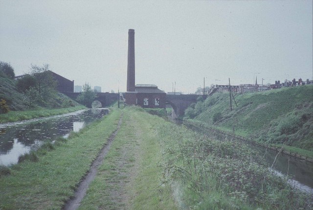
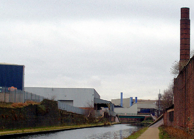
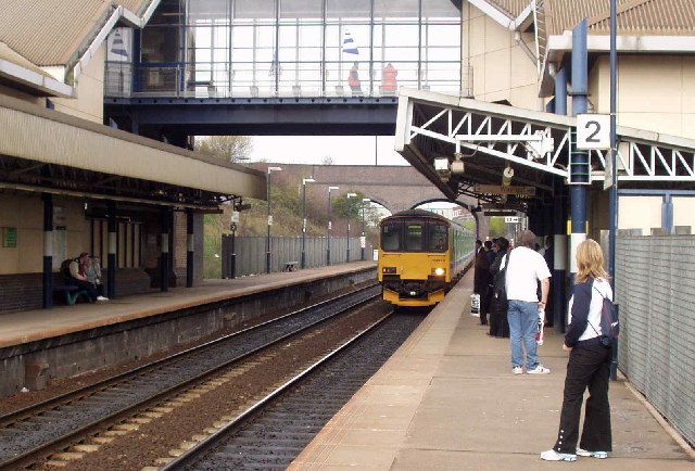
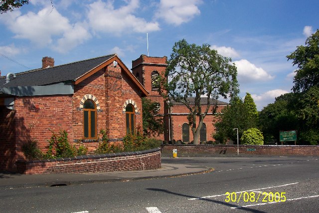
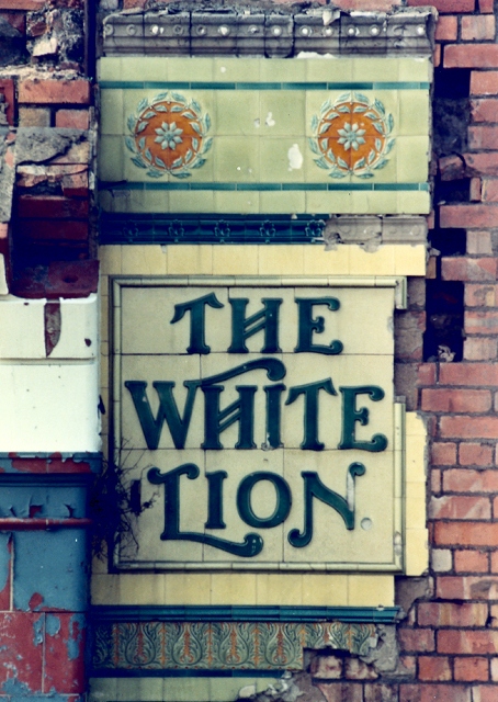
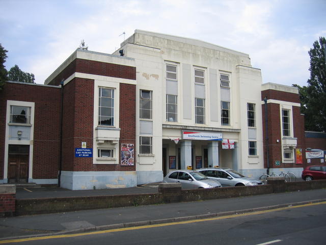
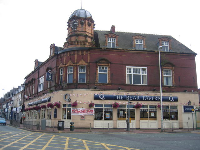
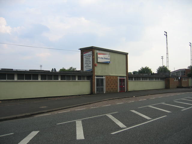
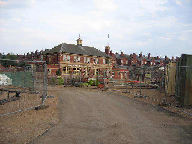
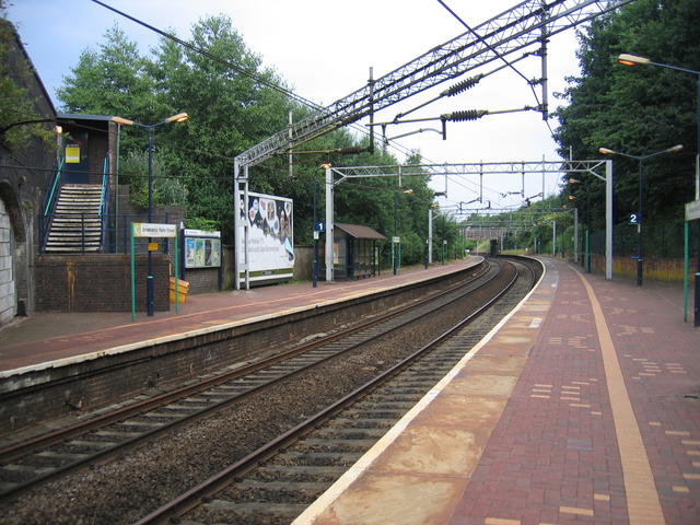
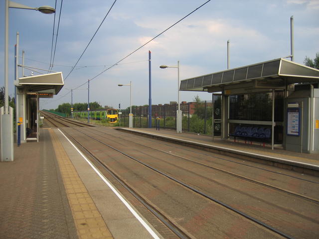
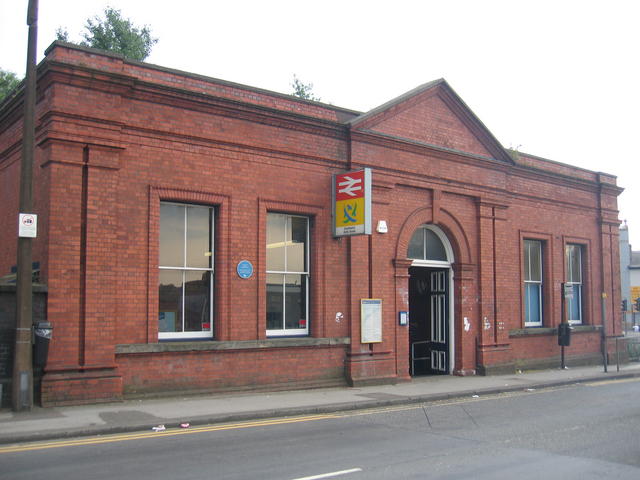
Cape Hill Images
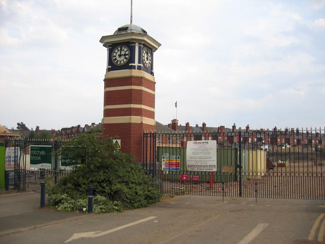
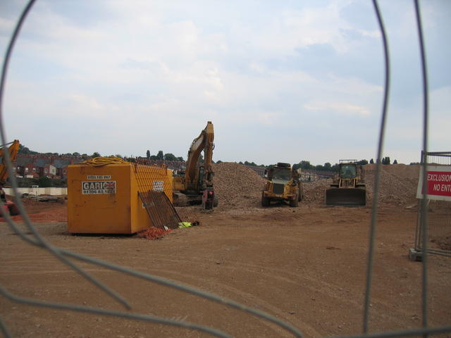
Images are sourced within 2km of 52.485655/-1.9600635 or Grid Reference SP0287. Thanks to Geograph Open Source API. All images are credited.
Cape Hill is located at Grid Ref: SP0287 (Lat: 52.485655, Lng: -1.9600635)
Unitary Authority: Sandwell
Police Authority: West Midlands
What 3 Words
///singer.switch.sticks. Near Smethwick, West Midlands
Related Wikis

Cape Hill
Cape Hill is an area in Smethwick, Sandwell, West Midlands. It is centred on the road of the same name and includes the adjoining streets. Cape Hill starts...
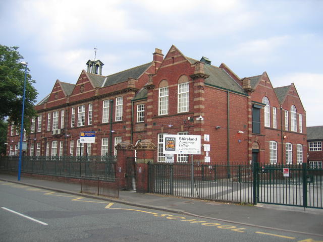
Shireland Collegiate Academy
Shireland Collegiate Academy is a coeducational secondary school and sixth form in the English academy programme, located in Smethwick, West Midlands,...
Deer's Leap Wood
Deer's Leap Wood is a nature reserve of the Wildlife Trust for Birmingham and the Black Country, in West Midlands, England. There is woodland with a variety...
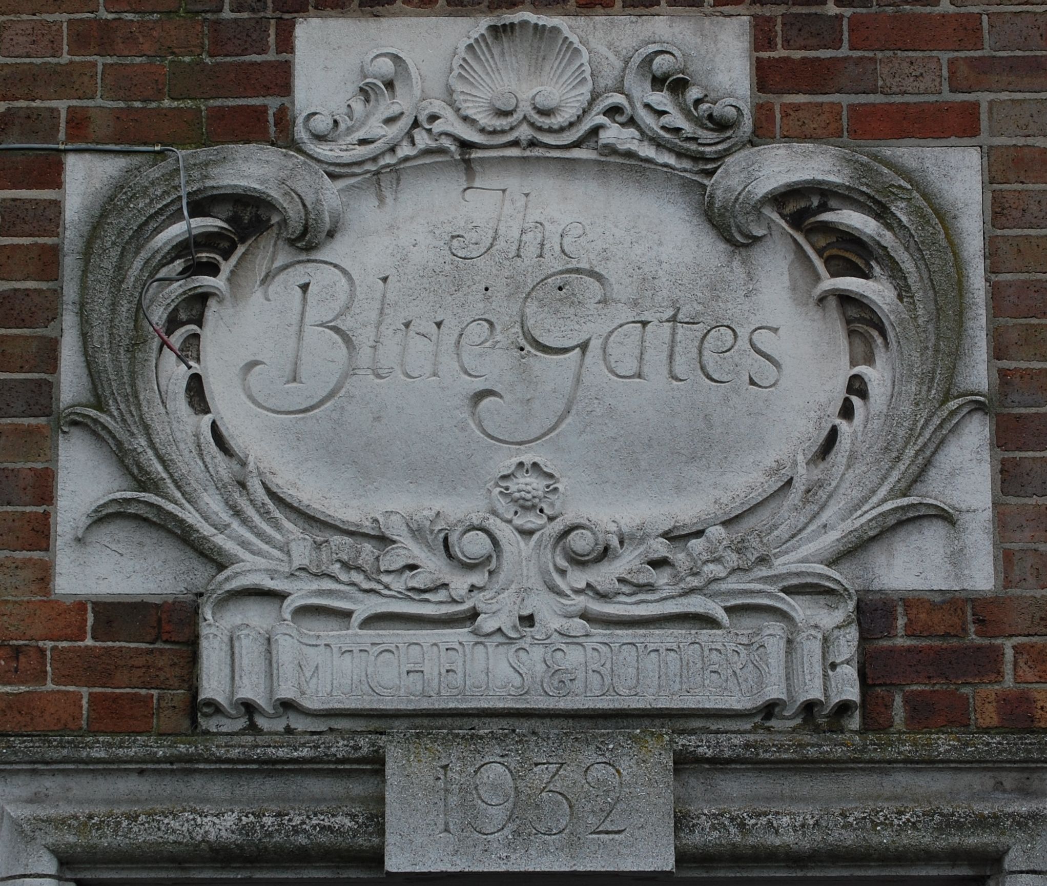
Mitchells & Butlers Brewery
Mitchells & Butlers Brewery was formed when Henry Mitchell's old Crown Brewery (founded in Smethwick in 1866) merged with William Butler's Brewery (also...

Edgbaston Foundation Ground
Edgbaston Foundation Ground, formerly Mitchells and Butlers' Ground, is a cricket ground in Birmingham, Warwickshire. The ground, near the Mitchells &...

Smethwick Council House
Smethwick Council House is a municipal building in Smethwick, West Midlands, England. The building, which is located on High Street and was once the headquarters...
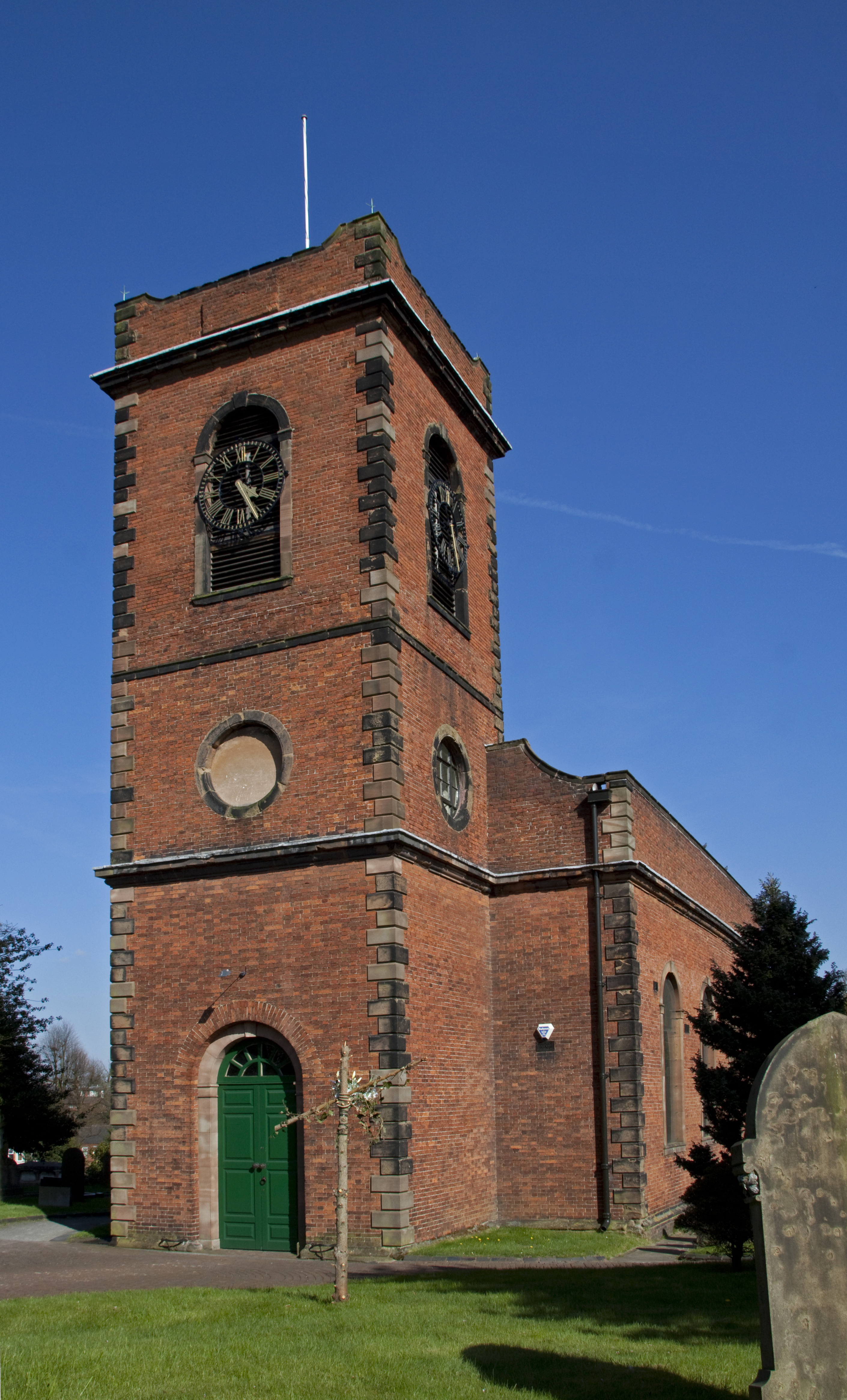
Smethwick Old Church
Smethwick Old Church is an Anglican parish church, located in the town of Smethwick, West Midlands. It is located on the junction of The Uplands and Church...

St Germain's Church, Edgbaston
St Germain's Church, Edgbaston is a Grade II listed Church of England parish church in Birmingham. == History == The land was donated by the Gillott Trustees...
Nearby Amenities
Located within 500m of 52.485655,-1.9600635Have you been to Cape Hill?
Leave your review of Cape Hill below (or comments, questions and feedback).