Smethwick
Settlement in Staffordshire
England
Smethwick
Smethwick is a small town located in the county of Staffordshire, in the West Midlands region of England. Situated approximately 4 miles west of Birmingham, it falls within the metropolitan borough of Sandwell. Smethwick covers an area of about 7.5 square miles and has a population of around 60,000 people.
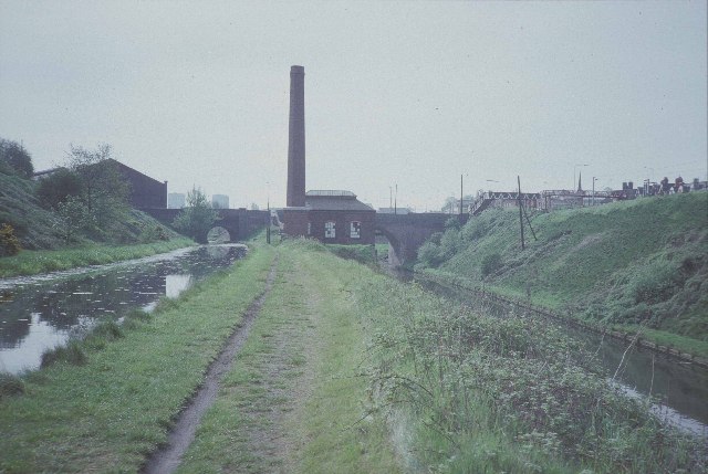
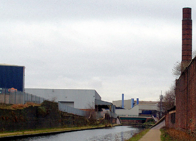
Historically, Smethwick was known for its heavy industry, particularly in the manufacturing of iron and steel. It played a significant role in the Industrial Revolution, being home to several prominent factories and foundries. However, in recent decades, the town has experienced a decline in its industrial sector, with many of its old factories being converted into residential properties or business units.
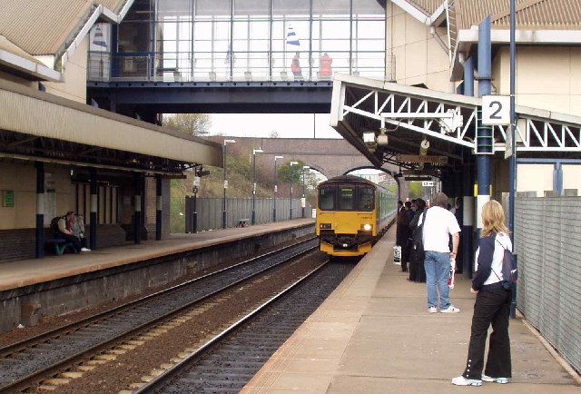
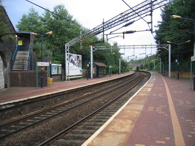
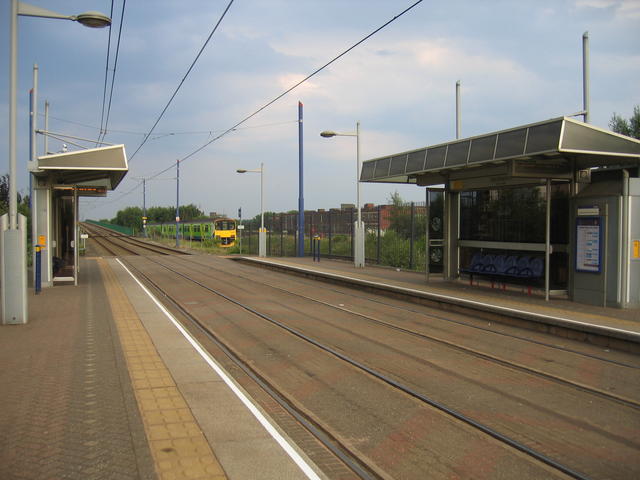
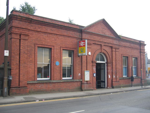
The town benefits from its proximity to Birmingham, with excellent transportation links. Smethwick is served by several train stations, including Smethwick Galton Bridge, Smethwick Rolfe Street, and The Hawthorns. There are also numerous bus routes connecting Smethwick to other parts of the West Midlands.
Smethwick boasts a diverse community, with a rich mix of cultures and ethnicities. It has a vibrant shopping district, offering a wide range of retail outlets, supermarkets, and independent stores. The town also has several green spaces and parks, providing recreational areas for residents and visitors alike.
In terms of education, Smethwick is home to a number of primary and secondary schools, as well as a further education college. It has a strong sense of community, with various local organizations and community centers offering support and activities for residents of all ages.
Overall, Smethwick is a town with a proud industrial heritage, undergoing a process of regeneration and embracing its multicultural identity.
If you have any feedback on the listing, please let us know in the comments section below.
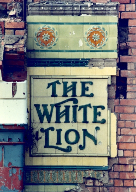
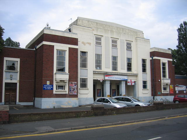
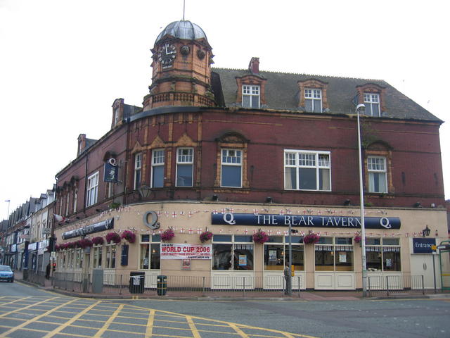
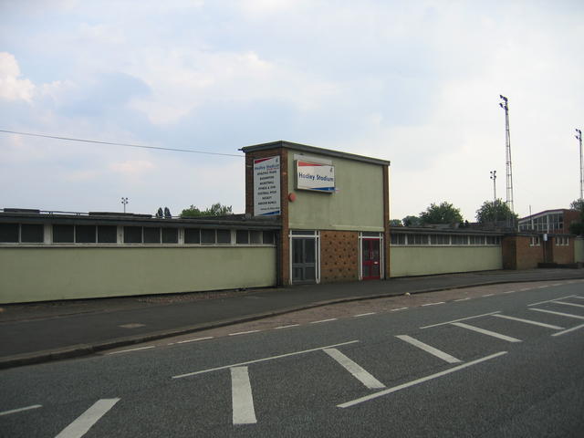
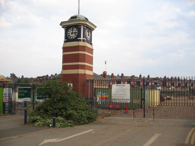
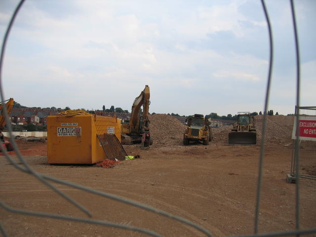
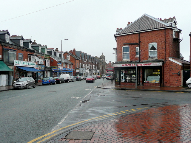
Smethwick Images
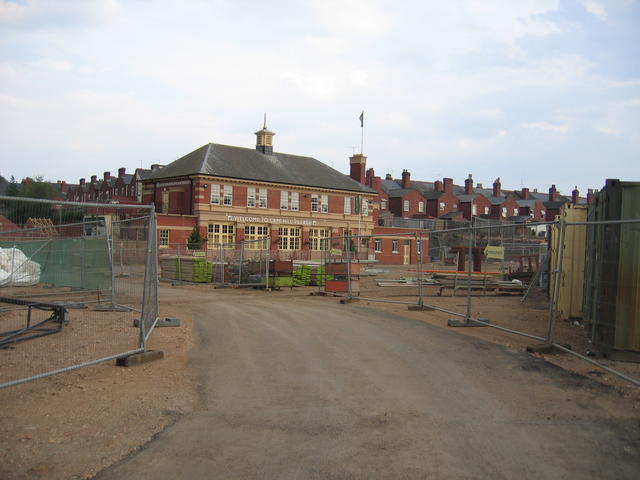
Images are sourced within 2km of 52.48925/-1.964622 or Grid Reference SP0287. Thanks to Geograph Open Source API. All images are credited.


Smethwick is located at Grid Ref: SP0287 (Lat: 52.48925, Lng: -1.964622)
Unitary Authority: Sandwell
Police Authority: West Midlands
What 3 Words
///manual.deaf.flip. Near Smethwick, West Midlands
Related Wikis

Smethwick Council House
Smethwick Council House is a municipal building in Smethwick, West Midlands, England. The building, which is located on High Street and was once the headquarters...

Cape Hill
Cape Hill is an area in Smethwick, Sandwell, West Midlands. It is centred on the road of the same name and includes the adjoining streets. Cape Hill starts...
Smethwick
Smethwick () is an industrial town in Sandwell, West Midlands, England. It lies 4 miles (6 km) west of Birmingham city centre. Historically it was in Staffordshire...
Shireland Collegiate Academy
Shireland Collegiate Academy is a coeducational secondary school and sixth form in the English academy programme, located in Smethwick, West Midlands,...
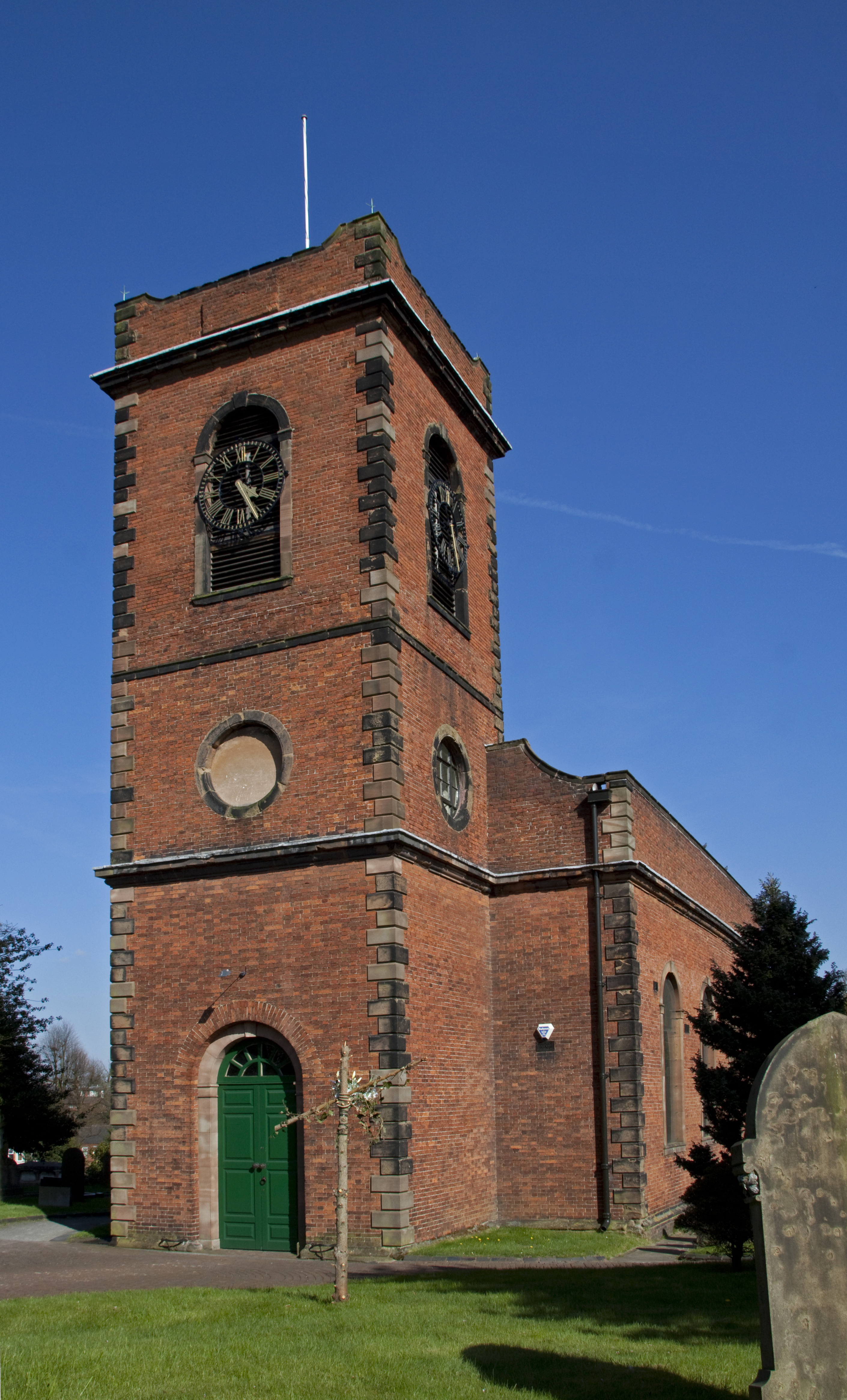
Smethwick Old Church
Smethwick Old Church is an Anglican parish church, located in the town of Smethwick, West Midlands. It is located on the junction of The Uplands and Church...
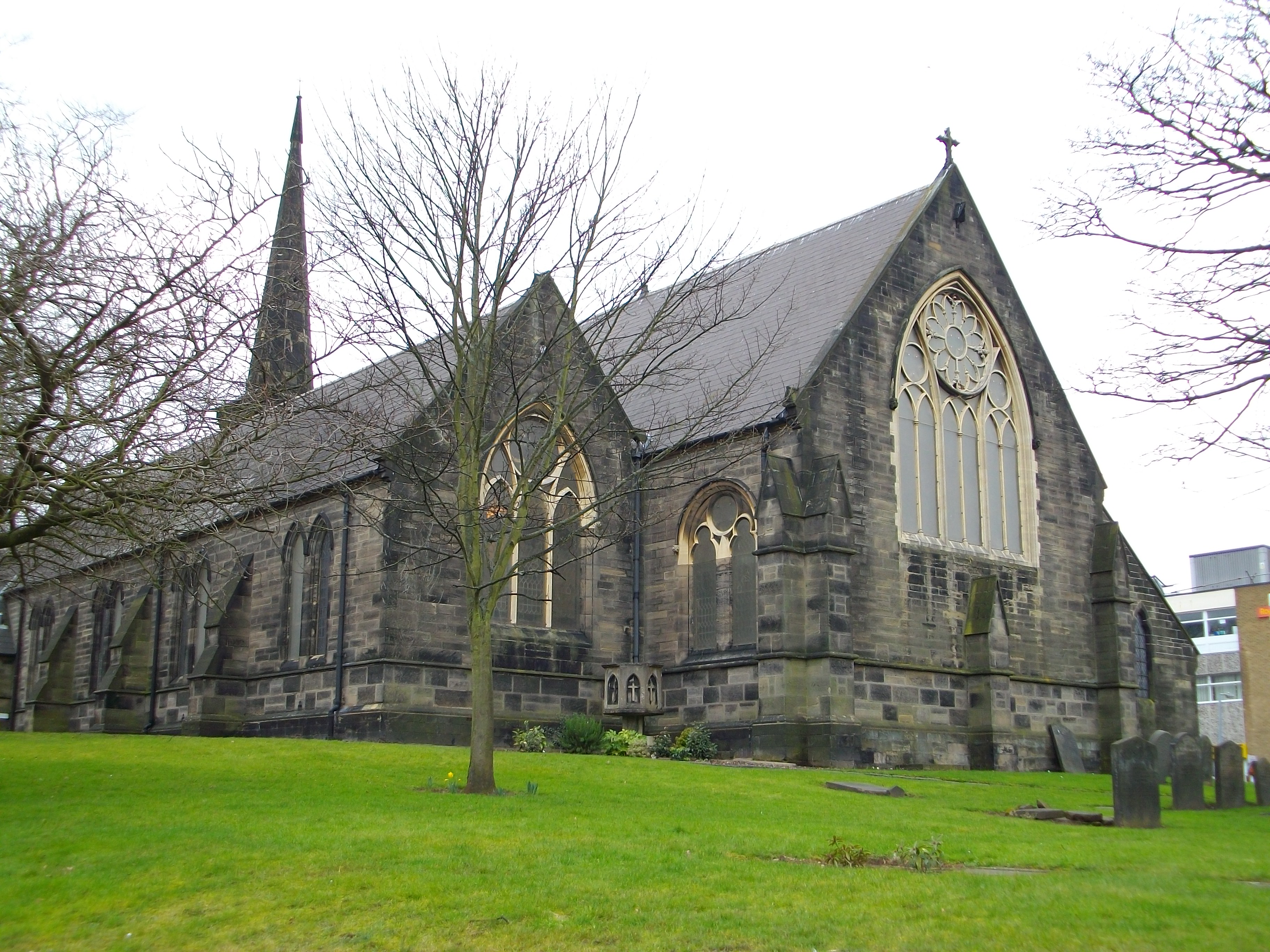
Holy Trinity Church, Smethwick
Holy Trinity Church is an Anglican church in Smethwick, West Midlands, England, and in the Diocese of Birmingham. The building is Grade II listed. The...
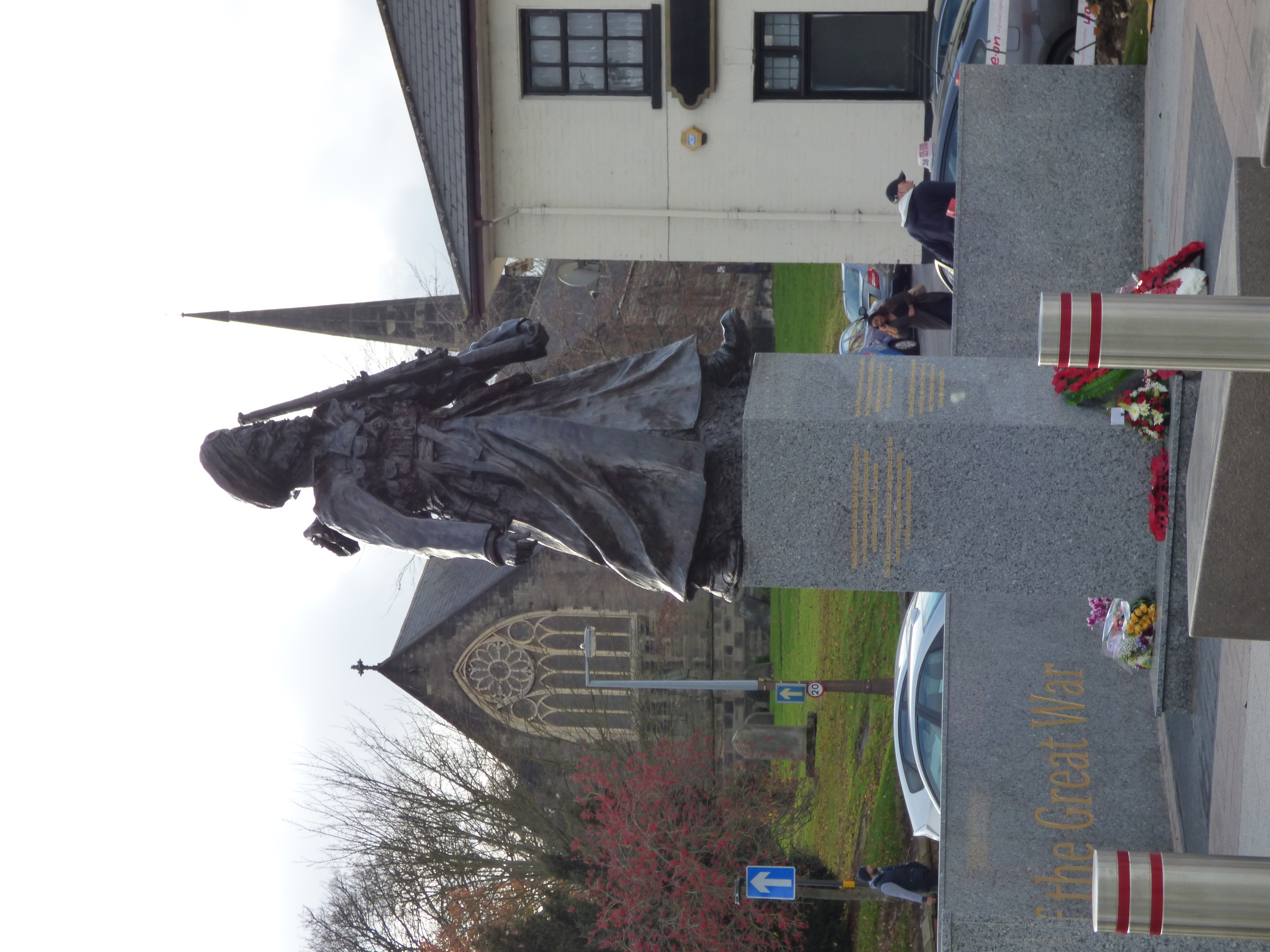
Lions of the Great War
The Lions of the Great War is a war memorial in Smethwick, in Sandwell in the West Midlands of England, dedicated to the memory of the Sikh soldiers from...
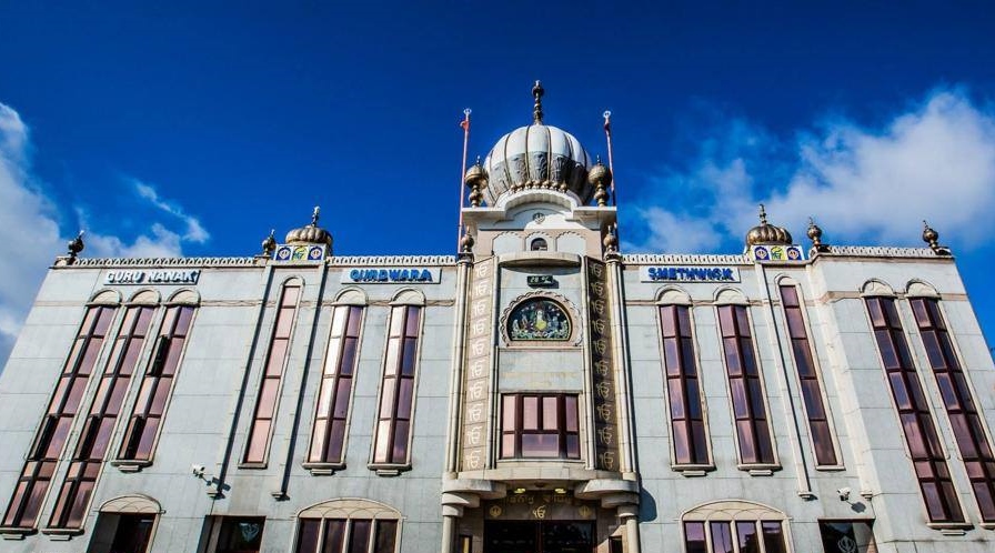
Guru Nanak Gurdwara Smethwick
Guru Nanak Gurdwara Smethwick (ਗੁਰੂ ਨਾਨਕ ਗੁਰਦੁਆਰਾ ਸਮੈਦਿਕ) is a Sikh gurdwara in Smethwick, in Sandwell, near Birmingham in the West Midlands of England...
Nearby Amenities
Located within 500m of 52.48925,-1.964622Have you been to Smethwick?
Leave your review of Smethwick below (or comments, questions and feedback).