Bunny's Hill

Settlement in Cornwall

England

Bunny's Hill

Ladyvale Bridge Site of the Chapel of Our Lady, attested to in the 12th century.
Ladyvale Bridge Credit: Paul Barnett

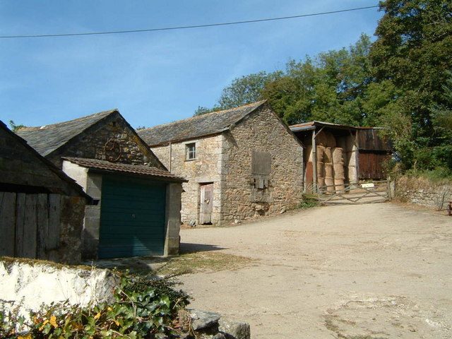
Bunny's Hill is a picturesque village located in the county of Cornwall, England. Nestled in the rolling hills of the Cornish countryside, it is renowned for its natural beauty and charming character. The village is situated just a few miles away from the stunning coastline, offering residents and visitors alike the best of both worlds.

The heart of Bunny's Hill is its quaint town center, which features a collection of traditional stone cottages, narrow winding streets, and a beautiful village green. The green serves as a gathering place for locals, where they can enjoy picnics, play sports, or simply relax and soak in the peaceful atmosphere.

Surrounded by lush green fields and meadows, Bunny's Hill offers a range of outdoor activities. The nearby countryside provides ample opportunities for hiking, cycling, and horseback riding, with numerous trails and paths to explore. The village is also home to a small but well-maintained park, perfect for families with children.

In terms of amenities, Bunny's Hill boasts a handful of charming shops, including a local bakery, a cozy tearoom, and a boutique selling handmade crafts. There is also a village pub, which serves traditional Cornish fare and locally brewed ales, providing a warm and friendly setting for residents and visitors to socialize.

The community spirit in Bunny's Hill is strong, with regular events and festivals taking place throughout the year. The village hosts an annual summer fete, where locals come together to celebrate with live music, food stalls, and games. Additionally, Bunny's Hill has a close-knit community center, which offers various classes and social activities for all ages.

Overall, Bunny's Hill is a charming and idyllic village, offering a tranquil escape for those seeking a slower pace of life amidst the beauty of the Cornish countryside.

If you have any feedback on the listing, please let us know in the comments section below.
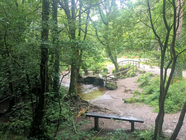
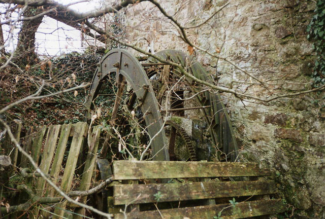
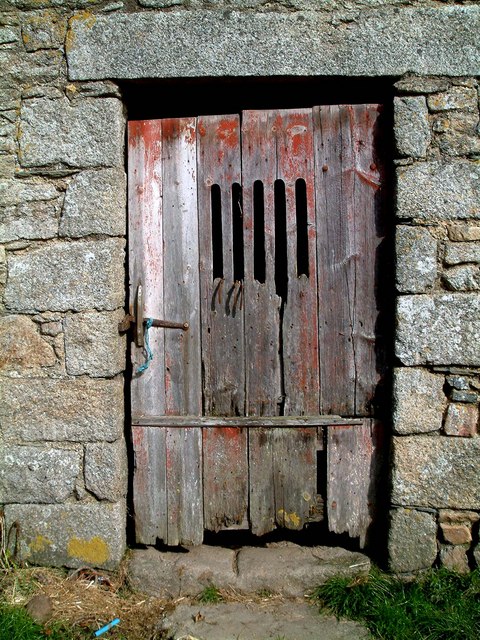
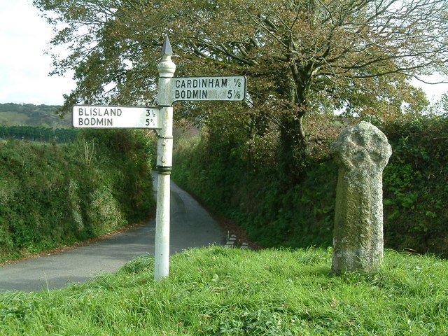
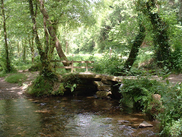
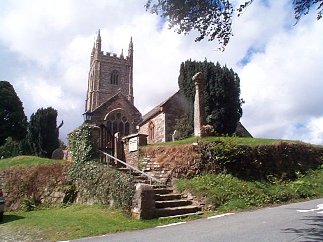
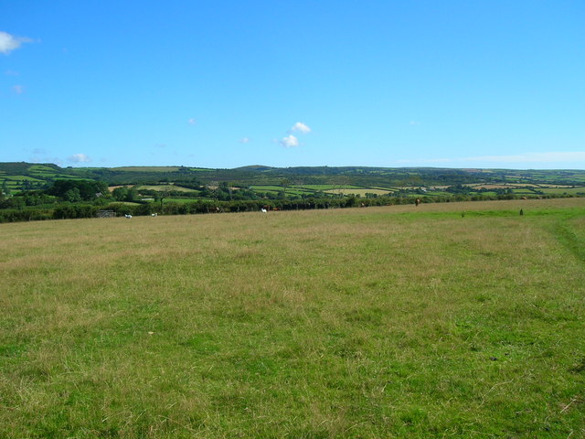
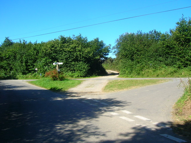
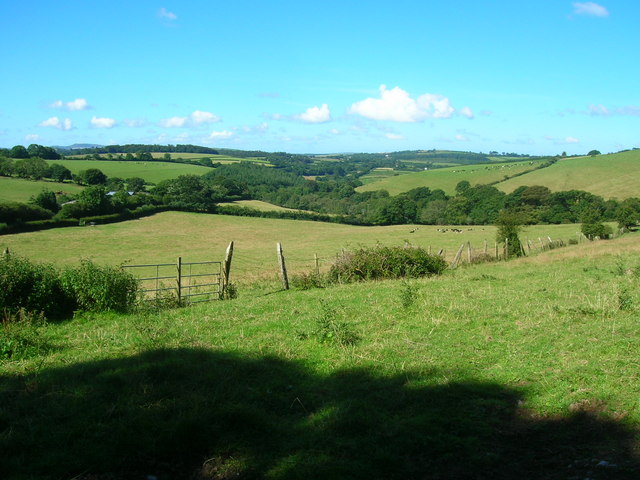
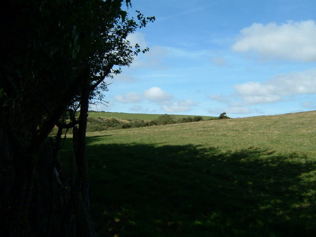
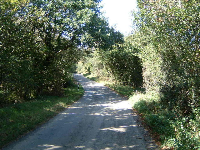
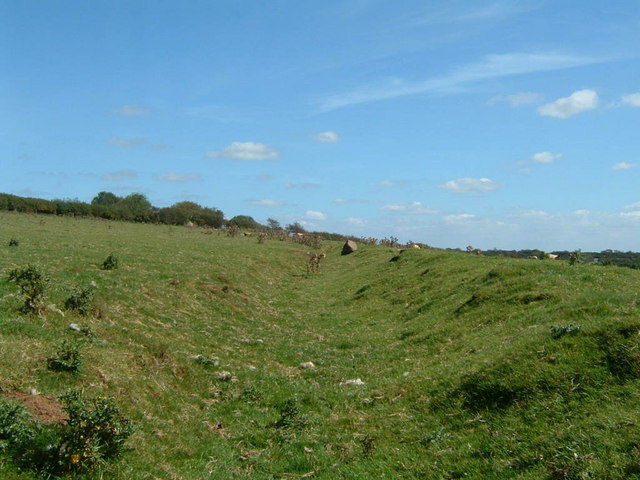
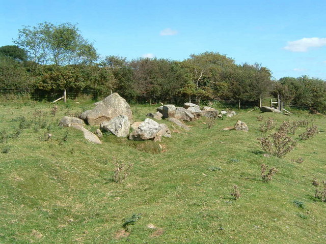
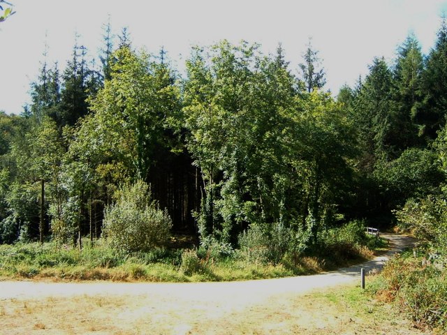
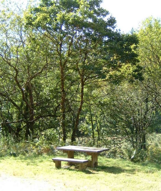
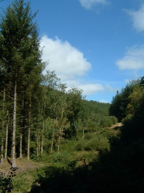
Bunny's Hill Images

Images are sourced within 2km of 50.480493/-4.6506375 or Grid Reference SX1267. Thanks to Geograph Open Source API. All images are credited.

Ladyvale Bridge Site of the Chapel of Our Lady, attested to in the 12th century.
Ladyvale Bridge
Site of the Chapel of Our Lady, attested to in the 12th century.
Cardinham: Castle Farm Shrouds of an overshot farm waterwheel stand by the public footpath which runs to the west of Cardinham Castle, a motte and bailey. The wheel once powered farm machinery.
Cardinham: Castle Farm
Shrouds of an overshot farm waterwheel stand by the public footpath which runs to the west of Cardinham Castle, a motte and bailey. The wheel once powered farm machinery.
Old Door Old door to a barn on a farm in the moorland parish of Cardinham.
Old Door
Old door to a barn on a farm in the moorland parish of Cardinham.
Treslea Cross Ancient "Celtic" cross at road junction on the edge of Bodmin Moor.
Treslea Cross
Ancient "Celtic" cross at road junction on the edge of Bodmin Moor.
Lady Vale Bridge, Cardinham Woods, Cornwall This ancient "clapper bridge", a simple form of stone bridge, crosses over Cardinham Water, a stream that runs through Cardinham Woods near Bodmin, Cornwall. The bridge, fenced-off for its own protection, stands on the former site of the Chapel of Our Lady.
Lady Vale Bridge, Cardinham Woods, Cornwall
This ancient "clapper bridge", a simple form of stone bridge, crosses over Cardinham Water, a stream that runs through Cardinham Woods near Bodmin, Cornwall. The bridge, fenced-off for its own protection, stands on the former site of the Chapel of Our Lady.
Cardinham Church Cardinham has a fine church dedicated to St Meubred who was an Irish missionary who came over to preach to the moorland folk but ended up being beheaded in Rome (his body was returned to the parish and buried here). Several examples of Celtic crosses can be found in the churchyard.
Cardinham Church
Cardinham has a fine church dedicated to St Meubred who was an Irish missionary who came over to preach to the moorland folk but ended up being beheaded in Rome (his body was returned to the parish and buried here). Several examples of Celtic crosses can be found in the churchyard.
Straight stretch of single track road by Pinsla Park Pinsla Park entrance is to the left. There are open fields to the right.
Straight stretch of single track road by Pinsla Park
Pinsla Park entrance is to the left. There are open fields to the right.
Field above Higher Tawna The footpath runs across this large open field and is marked by a stone to the right. Sheep and cattle graze.
Field above Higher Tawna
The footpath runs across this large open field and is marked by a stone to the right. Sheep and cattle graze.
Long Down road junction Hurtstocks Wood is along the track straight on (centre).
Long Down road junction
Hurtstocks Wood is along the track straight on (centre).
Kingswood Down Looking from the track entrance (behind photographer) of Glynn Barton Farm Cottages, down towards Fletchersbridge.
Kingswood Down
Looking from the track entrance (behind photographer) of Glynn Barton Farm Cottages, down towards Fletchersbridge.
Cardinham Downs This square contains a lane through the Downs.  Here are some Downs.
Cardinham Downs
This square contains a lane through the Downs. Here are some Downs.
Cardinham Downs lane This square contains a lane through the Downs.  Here is the lane.
Cardinham Downs lane
This square contains a lane through the Downs. Here is the lane.
Cardinham Leat
Cardinham Leat
Cardinham Leat rocks Rocks at the end of Cardinham Leat.
Cardinham Leat rocks
Rocks at the end of Cardinham Leat.
Path in Cardinham Woods
Picnic table in Cardinham Woods
Cardinham Woods
Cardinham Woods
Penpoll Farm
Penpoll Farm
Show me another place!

Bunny's Hill is located at Grid Ref: SX1267 (Lat: 50.480493, Lng: -4.6506375)

Unitary Authority: Cornwall

Police Authority: Devon and Cornwall

What 3 Words

///centrally.blush.ladder. Near Helland, Cornwall

Related Wikis

Old Cardinham Castle

Old Cardinham Castle is a hamlet in Cornwall, England, UK. It is in the parish of Cardinham very close to the site of the Norman Cardinham Castle, caput...

Cardinham

Cardinham (Cornish: Kardhinan) (the spelling 'Cardynham' is almost obsolete) is a civil parish and a village in mid Cornwall, England. The village is approximately...

Cardinham Grange

Cardinham Grange was a monastic grange in Cardinham, Cornwall, UK. Lady Vale Chapel was given soon after the Norman Conquest by Richard Fitz Turold to...

Bodmin Airfield

Bodmin Airfield (ICAO: EGLA) is located 3.5 NM (6.5 km; 4.0 mi) northeast of Bodmin, Cornwall, England, UK. Radio equipped microlights can use Bodmin...

Nearby Amenities

Located within 500m of 50.480493,-4.6506375
Bunny's Hill
Natural: peak
Source: OS_OpenData_StreetView
Lat/Long: 50.4817526/-4.647207
Parsonage Wood
Place: locality
Source Name: OS OpenMap Local
Lat/Long: 50.4832139/-4.6490193
Turning Circle
Lat/Long: 50.4768744/-4.6493142
The data included in this document is from www.openstreetmap.org. The data is made available under ODbL.

Have you been to Bunny's Hill?

Leave your review of Bunny's Hill below (or comments, questions and feedback).