Cardinham Castle, Old

Settlement in Cornwall

England

Cardinham Castle, Old

Ladyvale Bridge Site of the Chapel of Our Lady, attested to in the 12th century.
Ladyvale Bridge Credit: Paul Barnett

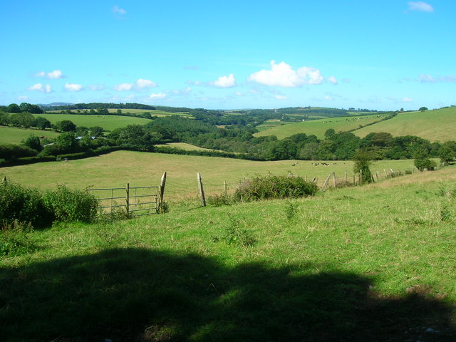
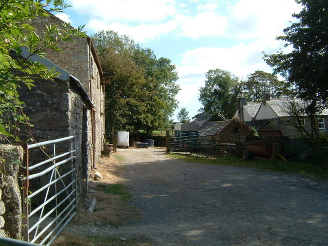
Cardinham Castle, Old, located in Cornwall, England, is a historical site that stands as a testament to the region's rich heritage. The castle, which dates back to the 13th century, is nestled amidst picturesque countryside, surrounded by lush greenery and rolling hills.

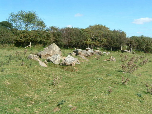
The ruins of Cardinham Castle offer visitors a glimpse into its medieval past. The structure was primarily constructed using local slate and granite, showcasing the architectural style of the time. The castle originally consisted of a central keep, which was later expanded to incorporate additional buildings such as a chapel and a hall.

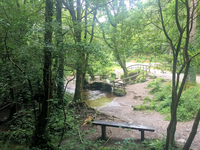
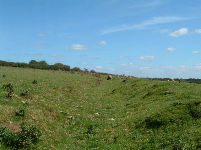
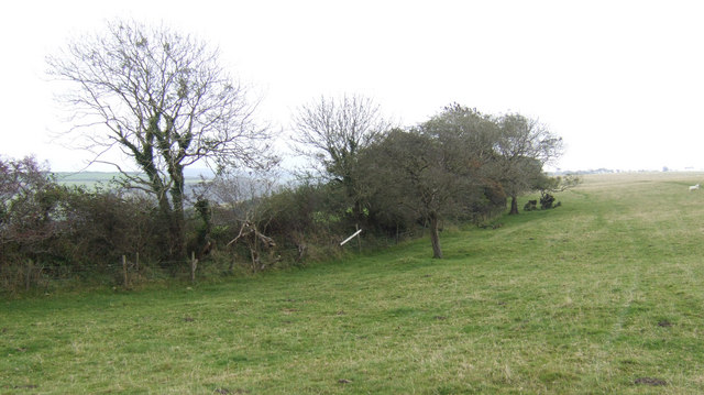
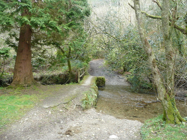
Despite its dilapidated state, the castle's remnants continue to exude a sense of grandeur and mystery. Visitors can explore the ruins and imagine the castle's former glory, with remnants of its defensive walls and towers still visible. The site offers panoramic views of the surrounding landscape, adding to its appeal.

Cardinham Castle is steeped in history, with notable events and figures associated with its past. It played a role in the conflicts between the English and the Cornish during the Middle Ages. Over the years, it passed through various hands, including the influential Cardinham family, who gave the castle its name.

Today, Cardinham Castle is managed by English Heritage and is open to the public. The site attracts history enthusiasts, hikers, and nature lovers alike, who can explore the castle's grounds and enjoy the surrounding natural beauty. It serves as a reminder of Cornwall's fascinating past and offers a unique experience for visitors looking to delve into the region's history and heritage.

If you have any feedback on the listing, please let us know in the comments section below.

Cardinham Castle, Old Images

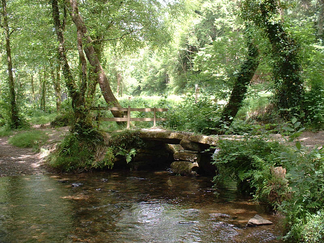
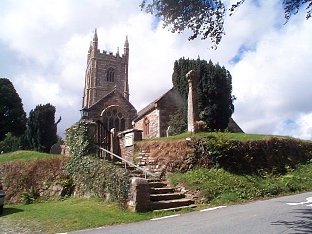
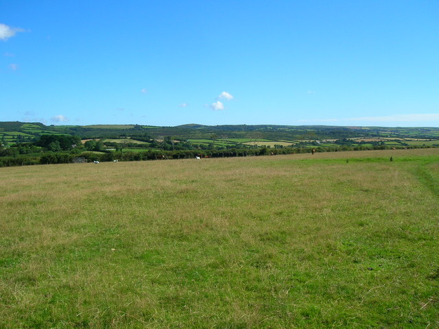
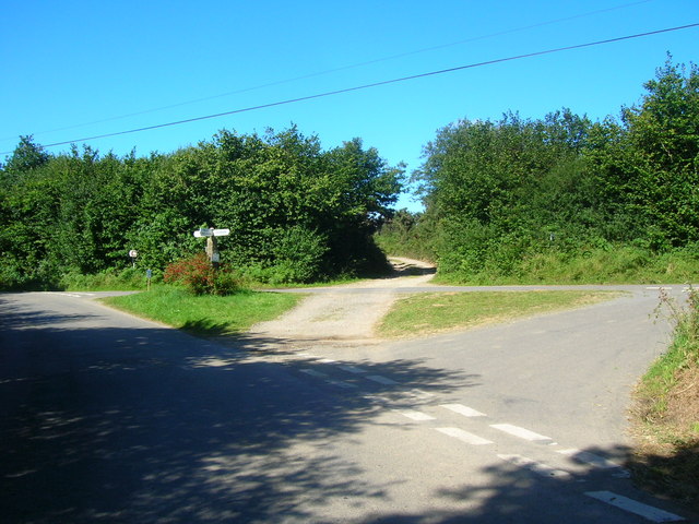
Images are sourced within 2km of 50.480236/-4.644497 or Grid Reference SX1267. Thanks to Geograph Open Source API. All images are credited.

Ladyvale Bridge Site of the Chapel of Our Lady, attested to in the 12th century.
Ladyvale Bridge
Site of the Chapel of Our Lady, attested to in the 12th century.
Cardinham: Castle Farm Shrouds of an overshot farm waterwheel stand by the public footpath which runs to the west of Cardinham Castle, a motte and bailey. The wheel once powered farm machinery.
Cardinham: Castle Farm
Shrouds of an overshot farm waterwheel stand by the public footpath which runs to the west of Cardinham Castle, a motte and bailey. The wheel once powered farm machinery.
Old Door Old door to a barn on a farm in the moorland parish of Cardinham.
Old Door
Old door to a barn on a farm in the moorland parish of Cardinham.
Treslea Cross Ancient "Celtic" cross at road junction on the edge of Bodmin Moor.
Treslea Cross
Ancient "Celtic" cross at road junction on the edge of Bodmin Moor.
Lady Vale Bridge, Cardinham Woods, Cornwall This ancient "clapper bridge", a simple form of stone bridge, crosses over Cardinham Water, a stream that runs through Cardinham Woods near Bodmin, Cornwall. The bridge, fenced-off for its own protection, stands on the former site of the Chapel of Our Lady.
Lady Vale Bridge, Cardinham Woods, Cornwall
This ancient "clapper bridge", a simple form of stone bridge, crosses over Cardinham Water, a stream that runs through Cardinham Woods near Bodmin, Cornwall. The bridge, fenced-off for its own protection, stands on the former site of the Chapel of Our Lady.
Cardinham Church Cardinham has a fine church dedicated to St Meubred who was an Irish missionary who came over to preach to the moorland folk but ended up being beheaded in Rome (his body was returned to the parish and buried here). Several examples of Celtic crosses can be found in the churchyard.
Cardinham Church
Cardinham has a fine church dedicated to St Meubred who was an Irish missionary who came over to preach to the moorland folk but ended up being beheaded in Rome (his body was returned to the parish and buried here). Several examples of Celtic crosses can be found in the churchyard.
Straight stretch of single track road by Pinsla Park Pinsla Park entrance is to the left. There are open fields to the right.
Straight stretch of single track road by Pinsla Park
Pinsla Park entrance is to the left. There are open fields to the right.
Field above Higher Tawna The footpath runs across this large open field and is marked by a stone to the right. Sheep and cattle graze.
Field above Higher Tawna
The footpath runs across this large open field and is marked by a stone to the right. Sheep and cattle graze.
Long Down road junction Hurtstocks Wood is along the track straight on (centre).
Long Down road junction
Hurtstocks Wood is along the track straight on (centre).
Kingswood Down Looking from the track entrance (behind photographer) of Glynn Barton Farm Cottages, down towards Fletchersbridge.
Kingswood Down
Looking from the track entrance (behind photographer) of Glynn Barton Farm Cottages, down towards Fletchersbridge.
Cardinham Leat
Cardinham Leat
Cardinham Leat rocks Rocks at the end of Cardinham Leat.
Cardinham Leat rocks
Rocks at the end of Cardinham Leat.
Penpoll Farm
Penpoll Farm
Penpoll Farm
Penpoll Farm
Tawna Downs Access land grazed by sheep above the north side of the Glynn valley.
Tawna Downs
Access land grazed by sheep above the north side of the Glynn valley.
Ford and footbridge Here the metalled road ends at Milltown, a footpath continuing on. The river is the Cardinham Water which flows south-west to meet the Fowey.
Ford and footbridge
Here the metalled road ends at Milltown, a footpath continuing on. The river is the Cardinham Water which flows south-west to meet the Fowey.
Pinsla Garden and Nursery A small nursery specialising in uncommon garden plants.
Pinsla Garden and Nursery
A small nursery specialising in uncommon garden plants.
Group of redwoods at Milltown ford An impressive sight in this isolated Cornish valley.
Group of redwoods at Milltown ford
An impressive sight in this isolated Cornish valley.
Show me another place!

Cardinham Castle, Old is located at Grid Ref: SX1267 (Lat: 50.480236, Lng: -4.644497)

Unitary Authority: Cornwall

Police Authority: Devon and Cornwall

What 3 Words

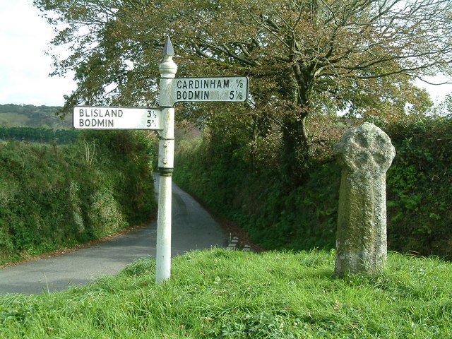
///leathers.reserved.island. Near Helland, Cornwall

Related Wikis

Old Cardinham Castle

Old Cardinham Castle is a hamlet in Cornwall, England, UK. It is in the parish of Cardinham very close to the site of the Norman Cardinham Castle, caput...

Cardinham

Cardinham (Cornish: Kardhinan) (the spelling 'Cardynham' is almost obsolete) is a civil parish and a village in mid Cornwall, England. The village is approximately...

Cardinham Grange

Cardinham Grange was a monastic grange in Cardinham, Cornwall, UK. Lady Vale Chapel was given soon after the Norman Conquest by Richard Fitz Turold to...

Mount, Cornwall

Mount is a village in the parish of Warleggan in east Cornwall, England. It lies south-west of Warleggan village. == References ==

Nearby Amenities

Located within 500m of 50.480236,-4.644497
Bunny's Hill
Natural: peak
Source: OS_OpenData_StreetView
Lat/Long: 50.4817526/-4.647207
Old Cardinham Castle
Alt Name: Old Cardinham
Is In County: Cornwall
Note: Old Cardinham Castle in OS StreetView, Old Cardinham in NPE
Place: hamlet
Source: OS_OpenData_StreetView
Wikidata: Q7083597
Lat/Long: 50.4804964/-4.6430227
Little Downs
Place: hamlet
Lat/Long: 50.4772809/-4.6396413
Parsonage Wood
Place: locality
Source Name: OS OpenMap Local
Lat/Long: 50.4832139/-4.6490193
The data included in this document is from www.openstreetmap.org. The data is made available under ODbL.

Have you been to Cardinham Castle, Old?

Leave your review of Cardinham Castle, Old below (or comments, questions and feedback).