Bunkers Hill
Settlement in Lancashire Pendle
England
Bunkers Hill
Bunkers Hill is a small village located in the county of Lancashire, in the northwest of England. Nestled amidst picturesque countryside, the village is known for its tranquil and idyllic setting. It is situated approximately 5 miles south of the town of Blackburn and 10 miles north of Bolton.
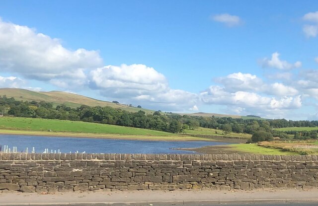
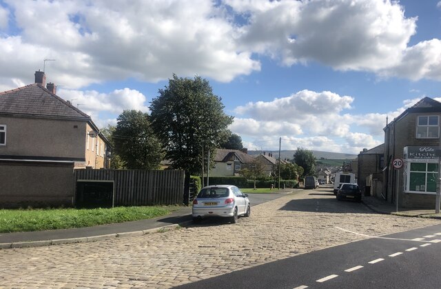
The village itself is characterized by a collection of traditional stone-built houses, giving it a charming and timeless appeal. The surrounding landscape is predominantly agricultural, with lush green fields and rolling hills providing a scenic backdrop. Bunkers Hill is also in close proximity to the West Pennine Moors, an Area of Outstanding Natural Beauty, making it a haven for nature enthusiasts and hikers.
Although small in size, the village boasts a strong sense of community spirit. It has a local pub, The Bunkers Hill Inn, which serves as a social hub for residents and visitors alike. The pub offers a warm and welcoming atmosphere, along with a selection of traditional pub food and beverages.
For amenities and services beyond the village, residents can easily access nearby towns such as Blackburn and Bolton, which provide a wider range of shops, supermarkets, schools, and healthcare facilities.
Overall, Bunkers Hill is a charming and serene village, offering a peaceful escape from the hustle and bustle of urban life. Its natural beauty and sense of community make it an appealing place to live or visit for those seeking a tranquil rural setting.
If you have any feedback on the listing, please let us know in the comments section below.
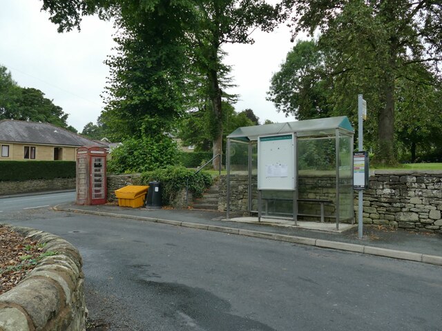
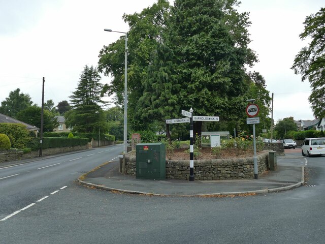
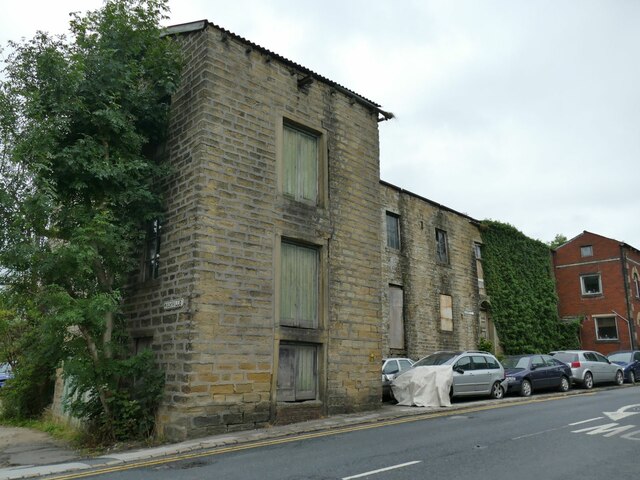
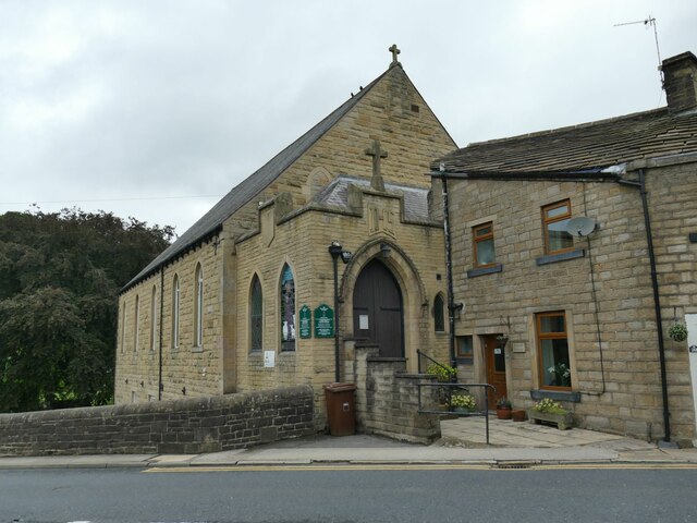
Bunkers Hill Images
Images are sourced within 2km of 53.854143/-2.1847905 or Grid Reference SD8739. Thanks to Geograph Open Source API. All images are credited.
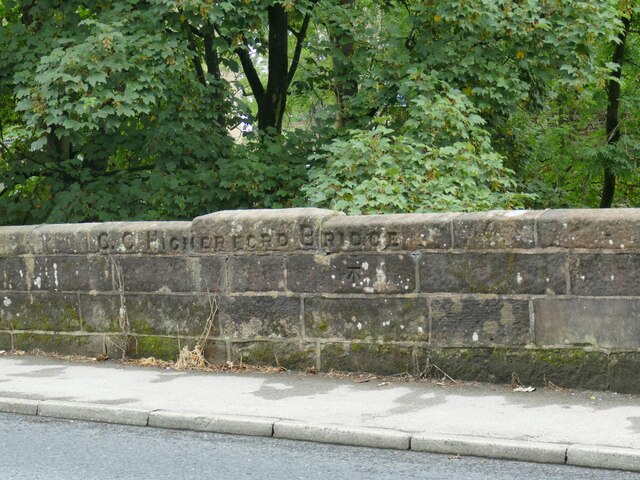
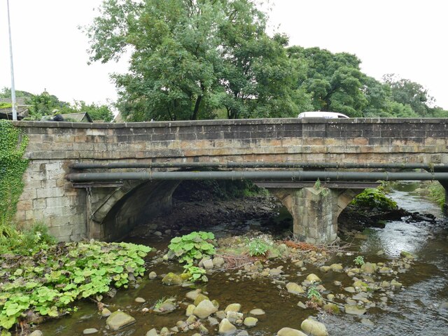
![Th' Owd Brig at Higherford This is described by Margaret Slack (Ref.1) as &#039;One of the most attractive packhorse bridges in [the Pennines] ...standing on the direct line of the Roman Road from Castercliffe to Ribchester. It was crossed by teams of packhorses bringing coal from near Gisburn and ... lime from Lothersdale.&#039; She adds that the date of the bridge is not known with certainty, but probably late 16th century.
The bridge crosses Pendle Water, draining the steep eastern scarp of that great hill, and subject to flash flooding; Slack relates a story that a bell used to hang from the bridge that rang a warning when water approached flood level.
Listed grade II *(List entry 1273194) and a Scheduled Monument. Originally it would have had no, or very low, parapets to allow ponies with low-hanging panniers to cross; the present parapets were added in 1815.
(1) &#039;The Bridges of Lancashire and Yorkshire&#039;, Margaret Slack, 1986.](https://s0.geograph.org.uk/geophotos/07/26/54/7265480_820bca99.jpg)
Bunkers Hill is located at Grid Ref: SD8739 (Lat: 53.854143, Lng: -2.1847905)
Administrative County: Lancashire
District: Pendle
Police Authority: Lancashire
What 3 Words
///motivates.backpack.gong. Near Colne, Lancashire
Nearby Locations
Related Wikis
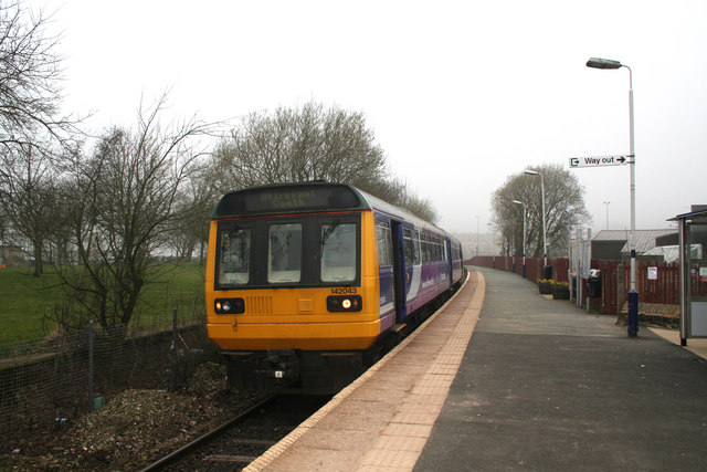
Colne railway station
Colne railway station serves the town of Colne, in Lancashire, England, which is situated close to Pendle Hill. The station, which is managed by Northern...

Colne Primet Academy
Colne Primet Academy (formerly Colne Primet High School) is a mixed secondary school located in Colne in the English county of Lancashire.Previously a...
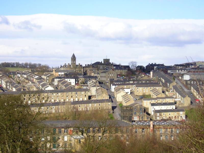
Colne
Colne () is a market town and civil parish in the Borough of Pendle in Lancashire, England. Located three miles (five kilometres) northeast of Nelson,...
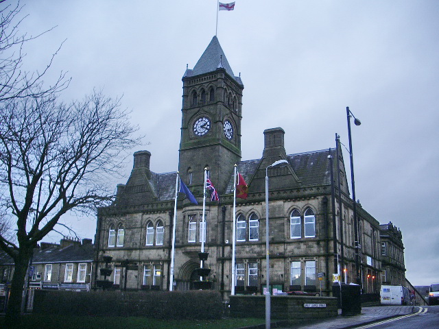
Colne Town Hall
Colne Town Hall is a municipal building in Albert Road, Colne, Lancashire, England. The town hall, which is the meeting place of Colne Town Council, is...
Nearby Amenities
Located within 500m of 53.854143,-2.1847905Have you been to Bunkers Hill?
Leave your review of Bunkers Hill below (or comments, questions and feedback).