Buntait
Settlement in Inverness-shire
Scotland
Buntait
Buntait is a small village located in the Scottish Highlands, specifically in Inverness-shire, within the Highland council area. Situated approximately 15 miles southwest of the city of Inverness, Buntait is nestled amidst stunning natural beauty, surrounded by rolling hills, picturesque lochs, and dense forests.
The village itself is characterized by its quaint and tranquil atmosphere, offering a peaceful escape from urban life. It is home to a close-knit community, comprising a mix of permanent residents and holiday-home owners. The village features a handful of residential properties, a church, and a few local businesses.
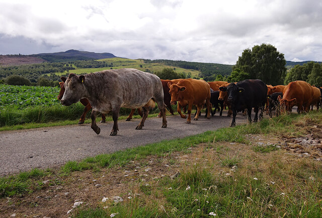
Nature enthusiasts will find themselves in paradise in Buntait, with numerous opportunities for outdoor activities. The nearby Loch Ness provides a range of water-based activities, including fishing, boating, and sailing. The surrounding hills and forests offer excellent hiking trails, where visitors can explore the area's diverse flora and fauna.
For those seeking historical and cultural experiences, Buntait is ideally located near several notable landmarks. Urquhart Castle, located on the shores of Loch Ness, is a must-visit attraction, offering a fascinating glimpse into Scotland's medieval history. The nearby Culloden Battlefield, where the famous Battle of Culloden took place in 1746, provides a poignant reminder of Scotland's past.
While Buntait may be a small village, its idyllic location and proximity to natural wonders and historical landmarks make it a charming and captivating destination for visitors seeking tranquility and a connection to Scotland's rich heritage.
If you have any feedback on the listing, please let us know in the comments section below.
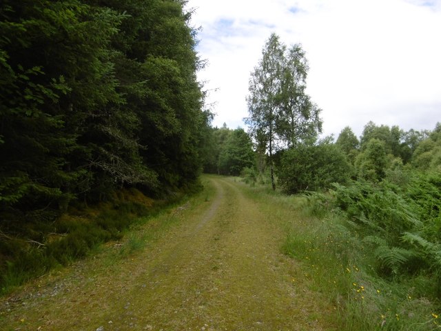
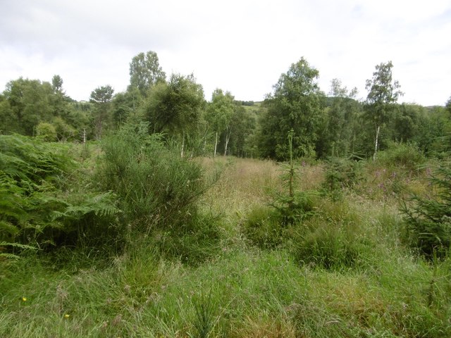
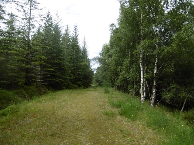
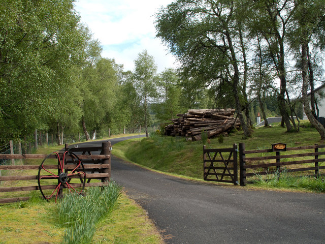
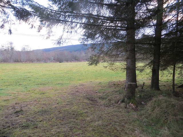
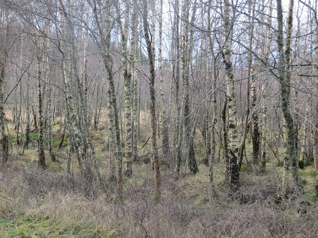
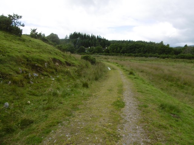
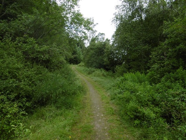
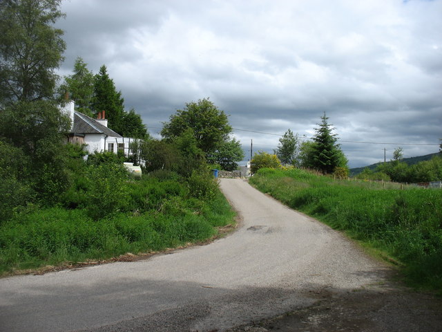
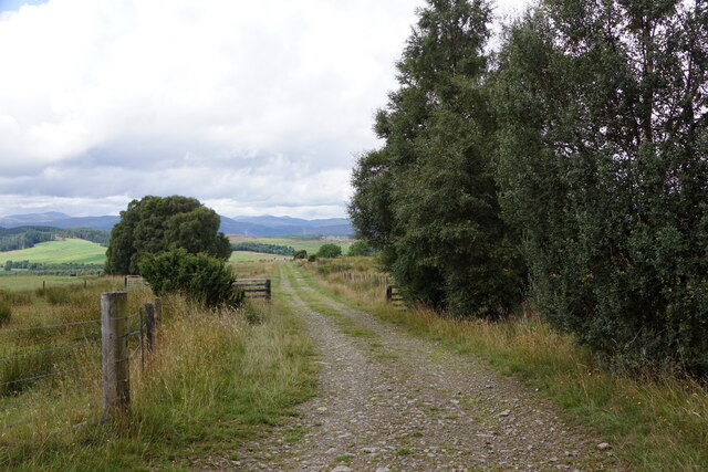
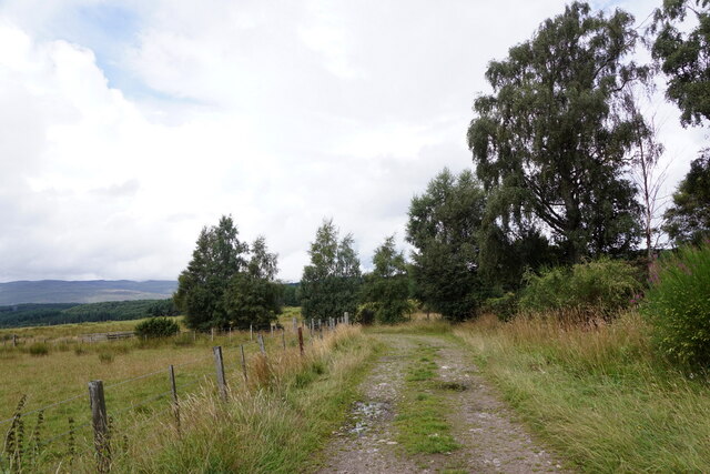
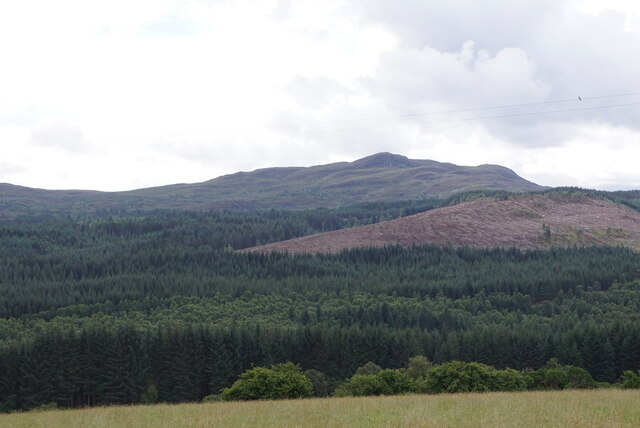
Buntait Images
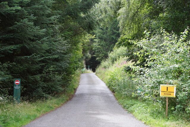
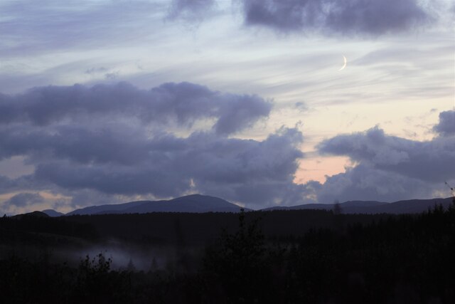
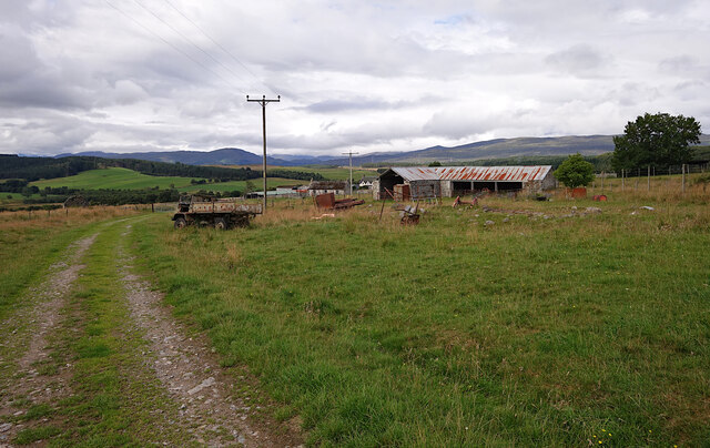
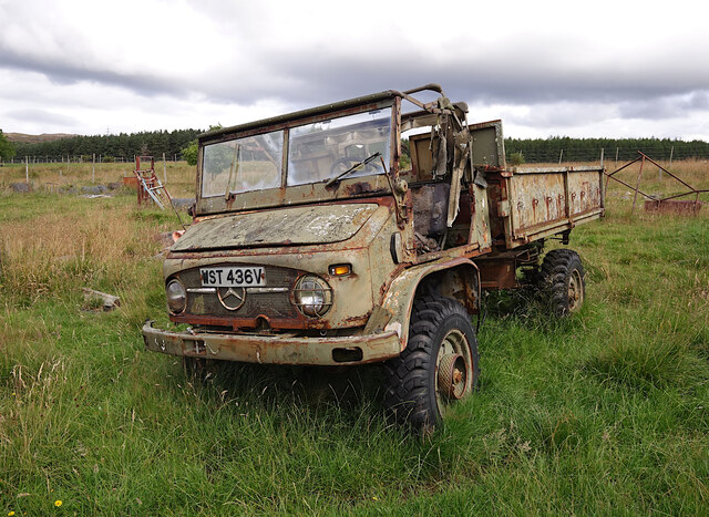
Images are sourced within 2km of 57.341413/-4.6648962 or Grid Reference NH3931. Thanks to Geograph Open Source API. All images are credited.
Buntait is located at Grid Ref: NH3931 (Lat: 57.341413, Lng: -4.6648962)
Unitary Authority: Highland
Police Authority: Highlands and Islands
What 3 Words
///appealed.basically.radio. Near Cannich, Highland
Nearby Locations
Related Wikis
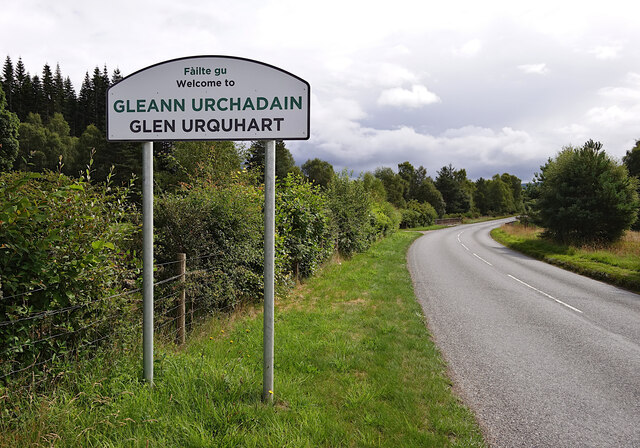
Corrimony
Corrimony (Scottish Gaelic: Coire Monaidh) is a small village at the western end of Glenurquhart, in Inverness-shire, in the Highlands of Scotland, now...

Corrimony Falls
Corrimony Falls is a waterfall on the River Enrick, near Corrimony in Glenurquhart, in the Highland council area of Scotland. It is a local tourist attraction...
Loch Meiklie
Loch Meiklie is a freshwater loch in Inverness-shire, Scotland, 6.4 kilometres (4.0 mi) west of Drumnadrochit. The loch is situated on the River Enrick...

Strathglass
Strathglass is a strath or wide and shallow valley in the Northwest Highlands of Scotland down which runs the meandering River Glass from the point at...
Nearby Amenities
Located within 500m of 57.341413,-4.6648962Have you been to Buntait?
Leave your review of Buntait below (or comments, questions and feedback).