Char's Stone
Heritage Site in Inverness-shire
Scotland
Char's Stone
Char's Stone is a historic heritage site located in Inverness-shire, Scotland. This ancient standing stone is situated on a hilltop overlooking the scenic Glen Mor, near the village of Glenmoriston. It is believed to have been erected during the Bronze Age, around 4,000 years ago.
The stone stands at an impressive height of approximately 9 feet and is made of local granite. Its shape is irregular with a wide base that tapers to a pointed top. The surface of the stone features weathered carvings and engravings, although their meaning and significance remain unknown.
Char's Stone holds great archaeological and historical importance in the region. It is speculated to have served as a marker or boundary stone, demarcating territorial divisions or ceremonial spaces during ancient times. Its strategic location on the hill offers panoramic views of the surrounding landscape, suggesting its role as a vantage point for observation or ritualistic purposes.
This heritage site attracts visitors from all over the world who are intrigued by its mysterious origins and cultural significance. The stone is accessible via a short hike along a well-marked trail, making it a popular destination for both avid hikers and history enthusiasts.
Char's Stone stands as a testament to Scotland's rich ancient heritage and serves as a reminder of the ingenuity and craftsmanship of its early inhabitants. It provides a unique glimpse into the lives and traditions of the people who once lived in this picturesque region of Inverness-shire.
If you have any feedback on the listing, please let us know in the comments section below.
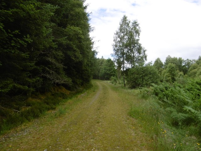
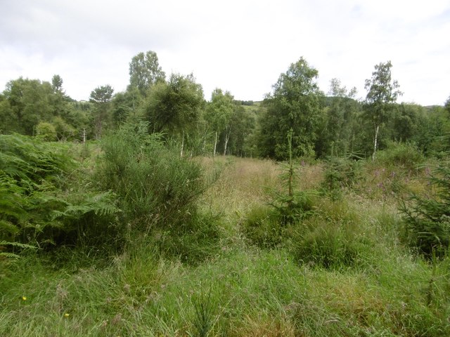
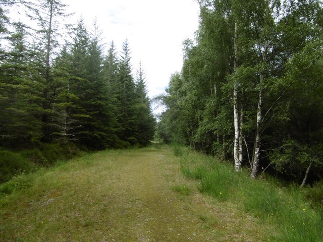
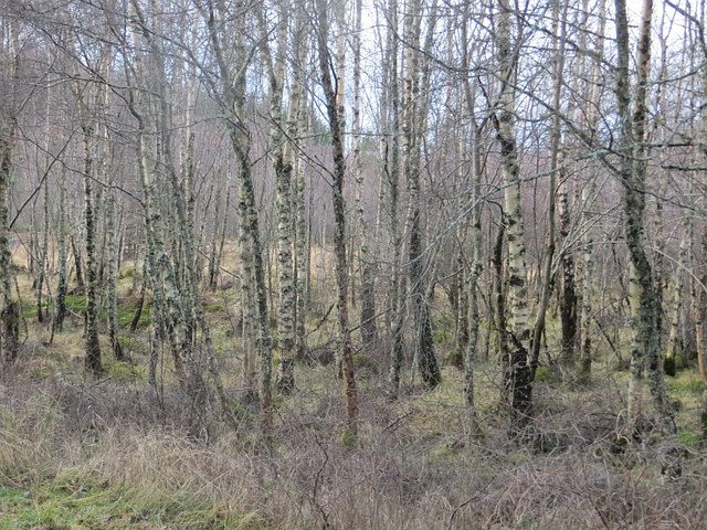
Char's Stone Images
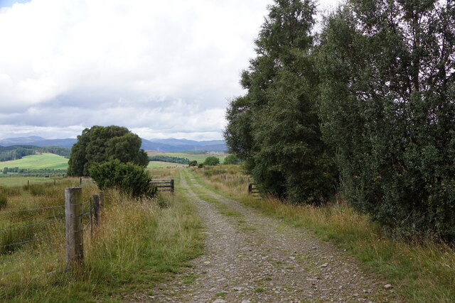
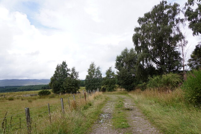
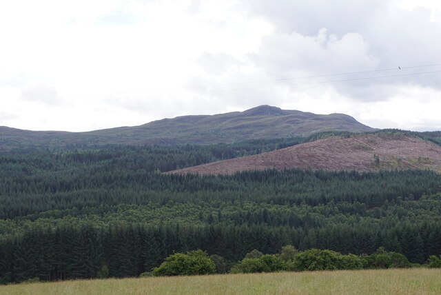
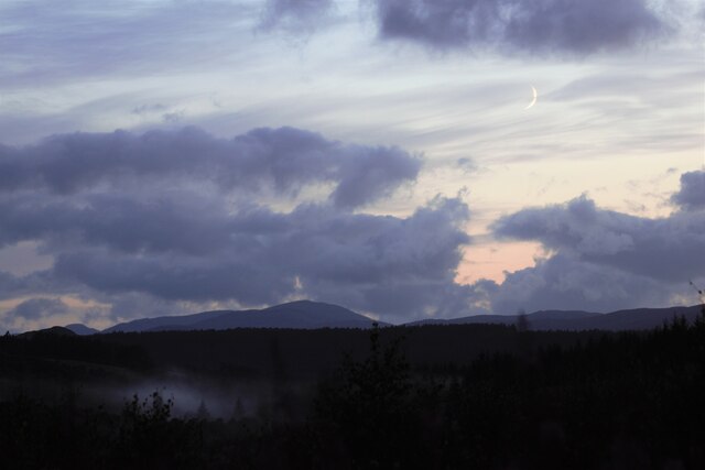
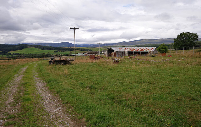
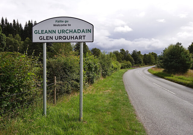
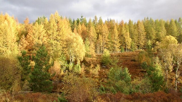
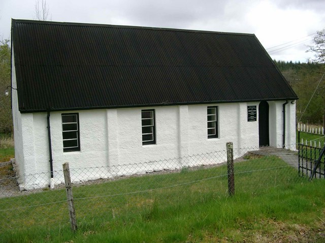
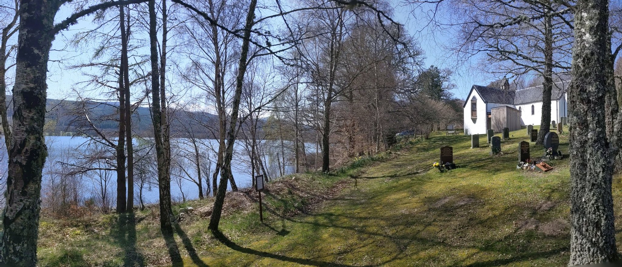
Images are sourced within 2km of 57.347/-4.667 or Grid Reference NH3931. Thanks to Geograph Open Source API. All images are credited.


Char's Stone is located at Grid Ref: NH3931 (Lat: 57.347, Lng: -4.667)
Unitary Authority: Highland
Police Authority: Highlands and Islands
What 3 Words
///stale.flattery.professes. Near Cannich, Highland
Nearby Locations
Related Wikis
Corrimony
Corrimony (Scottish Gaelic: Coire Monaidh) is a small village at the western end of Glenurquhart, in Inverness-shire, in the Highlands of Scotland, now...

Corrimony Falls
Corrimony Falls is a waterfall on the River Enrick, near Corrimony in Glenurquhart, in the Highland council area of Scotland. It is a local tourist attraction...

Strathglass
Strathglass is a strath or wide and shallow valley in the Northwest Highlands of Scotland down which runs the meandering River Glass from the point at...
Loch Meiklie
Loch Meiklie is a freshwater loch in Inverness-shire, Scotland, 6.4 kilometres (4.0 mi) west of Drumnadrochit. The loch is situated on the River Enrick...
Have you been to Char's Stone?
Leave your review of Char's Stone below (or comments, questions and feedback).