Chartley Castle

Heritage Site in Staffordshire Stafford

England

Chartley Castle

Looking south from Fradswell Heath
Looking south from Fradswell Heath Credit: Alan Murray-Rust

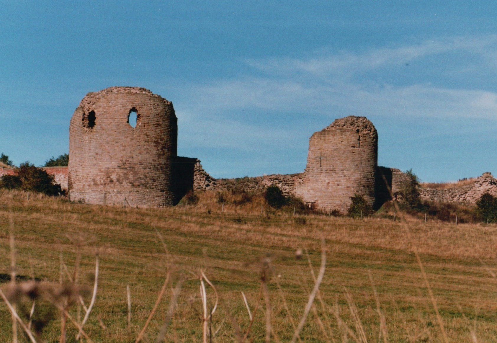
Chartley Castle is a historic site located in Staffordshire, England. The castle, now in ruins, is a Grade I listed building and a Scheduled Monument, recognized for its historical significance. It is situated near the village of Stowe-by-Chartley, approximately 8 miles east of Stafford.

Originally built in the 12th century by the de Ferrers family, Chartley Castle played a significant role in the medieval period. It served as a strategic stronghold during the reign of King John and witnessed several conflicts and sieges over the centuries. The castle was also associated with influential figures such as Queen Isabella of France and Mary, Queen of Scots, who was briefly held captive there.

The castle's architecture reflects its rich history. The remains consist of a motte and bailey design, with earthworks and remnants of stone walls. The motte, an artificial mound, stands prominently in the center of the site, providing evidence of the castle's defensive structure. The bailey, an enclosed area surrounding the motte, would have contained various buildings and served as living quarters.

Today, visitors can explore the ruins of Chartley Castle and immerse themselves in its fascinating past. Although it is mainly a ruin, the site provides insight into medieval castle construction and strategic defense. The surrounding landscape offers picturesque views, allowing visitors to appreciate the castle's former grandeur. Chartley Castle stands as a testament to the region's rich heritage and is a site of historical and architectural significance.

If you have any feedback on the listing, please let us know in the comments section below.

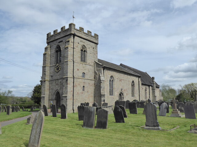
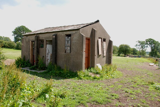
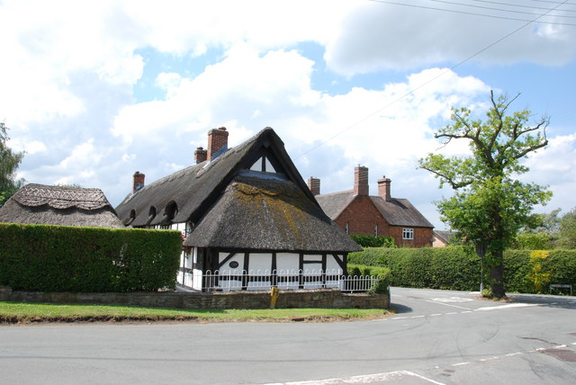
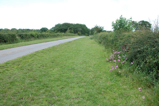
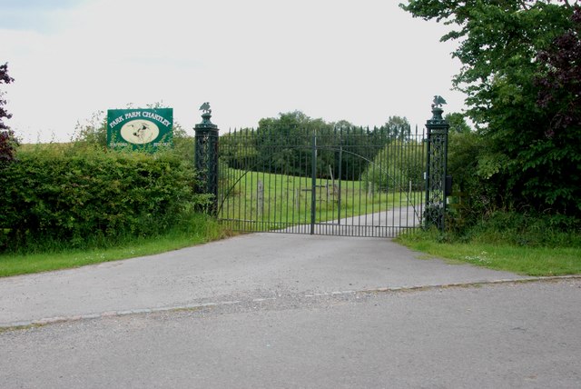
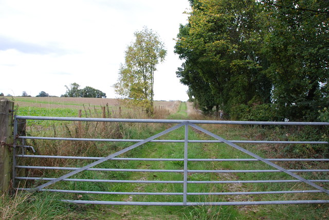
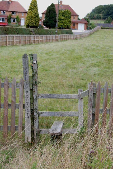
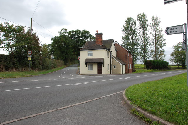
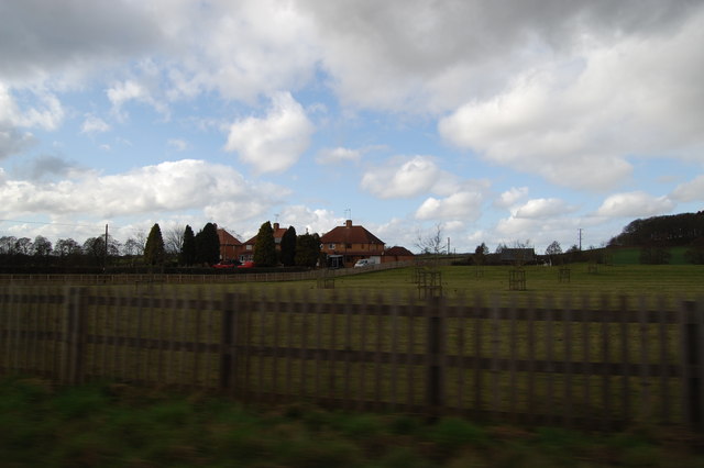
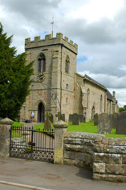
Chartley Castle Images

Images are sourced within 2km of 52.853/-1.978 or Grid Reference SK0128. Thanks to Geograph Open Source API. All images are credited.

Looking south from Fradswell Heath
Stowe by Chartley, St John the Baptist
Chartley Moss An introduction written by Tim Beynon, which is reproduced here.
Chartley Moss National Nature Reserve, Staffordshire
Chartley Moss is the largest example of a floating bog, or schwingmoor, in Britain. Apart
from the much smaller Wybunbury Moss in Cheshire its formation is believed to be
internationally unique. Most floating bogs are formed by the gradual closing over a
shallow lake surface by Sphagnum. However, some 5000 years ago Chartley was a
spring- fed wet woodland with Sphagnum peat beginning to accumulate. The dissolving
of salt in the underlying rock caused at least three subsidences and allowed water to
flow underneath, and gradually Sphagnum dominated community developed on the
floating raft. The last and largest collapse was in the fifteenth century. Recent
measurements in the western basin show the underground reservoir to be 14metres
deep; pudding basin shaped; and with a raft of mainly peat 3 metres thick floating on top,
covering some 25 hectares. There is also a 17 hectare eastern basin of solid peat up to
7 metres thick occupying a shallow depression in the bedrock, with no underlying water.
All the above was taken from: <span class="nowrap"><a title="www.derbyshire-dragonflies.org.uk/docs/C" rel="nofollow ugc noopener" href="http://www.derbyshire-dragonflies.org.uk/docs/C">Link</a><img style="margin-left:2px;" alt="External link" title="External link - shift click to open in new window" src="https://s1.geograph.org.uk/img/external.png" width="10" height="10"/></span> hartley.pdf
Chartley Moss
An introduction written by Tim Beynon, which is reproduced here. Chartley Moss National Nature Reserve, Staffordshire Chartley Moss is the largest example of a floating bog, or schwingmoor, in Britain. Apart from the much smaller Wybunbury Moss in Cheshire its formation is believed to be internationally unique. Most floating bogs are formed by the gradual closing over a shallow lake surface by Sphagnum. However, some 5000 years ago Chartley was a spring- fed wet woodland with Sphagnum peat beginning to accumulate. The dissolving of salt in the underlying rock caused at least three subsidences and allowed water to flow underneath, and gradually Sphagnum dominated community developed on the floating raft. The last and largest collapse was in the fifteenth century. Recent measurements in the western basin show the underground reservoir to be 14metres deep; pudding basin shaped; and with a raft of mainly peat 3 metres thick floating on top, covering some 25 hectares. There is also a 17 hectare eastern basin of solid peat up to 7 metres thick occupying a shallow depression in the bedrock, with no underlying water. All the above was taken from: LinkExternal link hartley.pdf
Another Wartime Relic
Thatched Cottage on Crossroads, Stowe-by-Chartley
Fingerpost, Stile and Cattle Pen
Upper Farm, Drointon
Plough Farm, Drointon
Wide Grass Verge on the Drointon to Grindley Lane
Cattle Pens opposite Moss Rise Farm
Junction of A518 and road from Grindley
The Entrance to Park Farm Chartley The Chartley herd of white cattle dates back to about 1248. The descendants of these cattle remained in Chartley Park until 1905, when the 10th Earl Ferrers sold them. In 1970, the present Earl Ferrers bought back the whole of the Chartley herd, which was at Woburn Abbey. At this time there were twenty-four animals. Four months later when the cattle arrived, the number had increased to thirty-three. I can't find a figure for numbers now.
The Entrance to Park Farm Chartley
The Chartley herd of white cattle dates back to about 1248. The descendants of these cattle remained in Chartley Park until 1905, when the 10th Earl Ferrers sold them. In 1970, the present Earl Ferrers bought back the whole of the Chartley herd, which was at Woburn Abbey. At this time there were twenty-four animals. Four months later when the cattle arrived, the number had increased to thirty-three. I can't find a figure for numbers now.
Farm Track off A518
Farm Track off A518
Looking over Stile to Mill Cottages, A518
Looking over A518 to Cottage on Junction of Hixon Road
Mill Cottages
Mill Cottages
Site of Chartley station, 1986 View westward, towards Stafford: ex-GNR Nottingham - Derby - Uttoxeter - Stafford line. This western extremity of the LNER system was closed to passengers on 4/12/39, to goods on 4/7/51, but the track remained passable for several years afterwards. In 1986 you would not know a railway station had been here.
Site of Chartley station, 1986
View westward, towards Stafford: ex-GNR Nottingham - Derby - Uttoxeter - Stafford line. This western extremity of the LNER system was closed to passengers on 4/12/39, to goods on 4/7/51, but the track remained passable for several years afterwards. In 1986 you would not know a railway station had been here.
Flooding in the dip at Stowe-by-Chartley This is on Drointon Lane. You need boots or wellies to be able to walk through the flooding.
Flooding in the dip at Stowe-by-Chartley
This is on Drointon Lane. You need boots or wellies to be able to walk through the flooding.
Show me another place!

Chartley Castle is located at Grid Ref: SK0128 (Lat: 52.853, Lng: -1.978)

Administrative County: Staffordshire

District: Stafford

Police Authority: Staffordshire

What 3 Words

///wage.inherits.cope. Near Great Haywood, Staffordshire

Related Wikis

Chartley Castle

Chartley Castle lies in ruins to the north of the village of Stowe-by-Chartley in Staffordshire, between Stafford and Uttoxeter (grid reference SK010285...

Chartley Moss

Chartley Moss is a 105.80 hectare biological Site of Special Scientific Interest in Staffordshire, notified in 1987. The area has been designated as an...

Chartley railway station

Chartley railway station was a former British railway station to serve the village of Stowe-by-Chartley in Staffordshire. It was opened by the Stafford...

Stowe-by-Chartley

Stowe-by-Chartley is a village and civil parish in the Borough of Stafford, Staffordshire, England. According to the parish council, the parish includes...

Amerton

Amerton is a small village in the Borough of Stafford, Staffordshire, England, situated on the A518 road between Stafford and Uttoxeter. The population...

Amerton Railway

The Amerton Railway is a 2 ft (610 mm) narrow gauge heritage railway in the English county of Staffordshire. It is owned by Staffordshire Narrow Gauge...

Grindley railway station

Grindley railway station was a former British railway station to serve the village of Grindley in Staffordshire. It was opened by the Stafford and Uttoxeter...

RAF Hixon

Royal Air Force Hixon, or more simply RAF Hixon, was a Royal Air Force station located on the north western edge of the village of Hixon in Staffordshire...

Nearby Amenities

Located within 500m of 52.853,-1.978
The data included in this document is from www.openstreetmap.org. The data is made available under ODbL.

Have you been to Chartley Castle?

Leave your review of Chartley Castle below (or comments, questions and feedback).