Castle Pool
Lake, Pool, Pond, Freshwater Marsh in Staffordshire Stafford
England
Castle Pool

Castle Pool is a picturesque freshwater body located in Staffordshire, England. Covering an area of approximately 10 acres, it is nestled amidst lush greenery and offers a tranquil haven for nature enthusiasts and visitors alike.
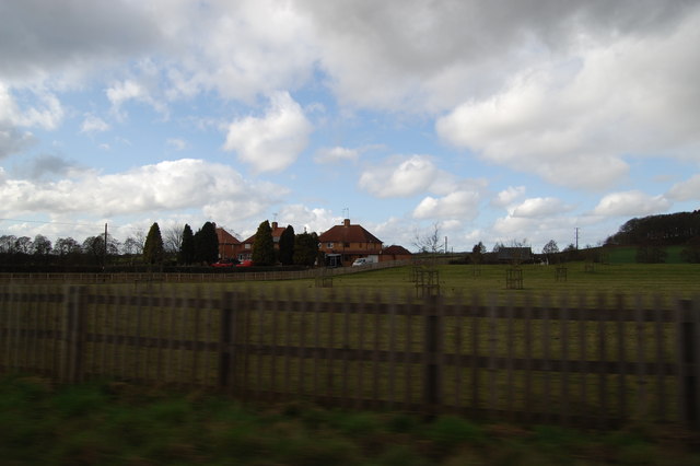
The pool is characterized by its crystal-clear waters, which are supplied by natural springs and underground streams. Surrounded by dense woodlands and rolling hills, Castle Pool offers breathtaking views of the Staffordshire countryside.
The pool is home to a diverse range of aquatic flora and fauna, making it a haven for wildlife. Visitors can spot various species of fish, including perch, pike, and roach, swimming beneath the surface. Water birds, such as ducks and swans, can also be seen gracefully gliding across the pool.
Moreover, Castle Pool boasts a thriving ecosystem of freshwater plants, including lilies and reeds, which provide a vibrant burst of color and create a serene atmosphere.
The pool is also a popular spot for recreational activities such as fishing and birdwatching. Anglers can enjoy a day of fishing in the peaceful surroundings, while birdwatchers can observe a variety of bird species that reside in or visit the area.
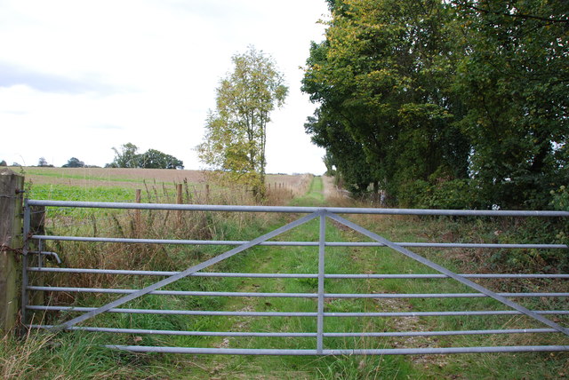
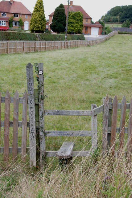
Access to Castle Pool is easy, with nearby parking facilities and well-maintained footpaths that allow visitors to explore the surrounding natural beauty. Whether one seeks solitude, wildlife spotting, or a peaceful fishing experience, Castle Pool in Staffordshire offers a truly enchanting and idyllic setting for all nature lovers to enjoy.
If you have any feedback on the listing, please let us know in the comments section below.
Castle Pool Images
Images are sourced within 2km of 52.855379/-1.986236 or Grid Reference SK0128. Thanks to Geograph Open Source API. All images are credited.


Castle Pool is located at Grid Ref: SK0128 (Lat: 52.855379, Lng: -1.986236)
Administrative County: Staffordshire
District: Stafford
Police Authority: Staffordshire
What 3 Words
///foot.dusts.objecting. Near Great Haywood, Staffordshire
Nearby Locations
Related Wikis
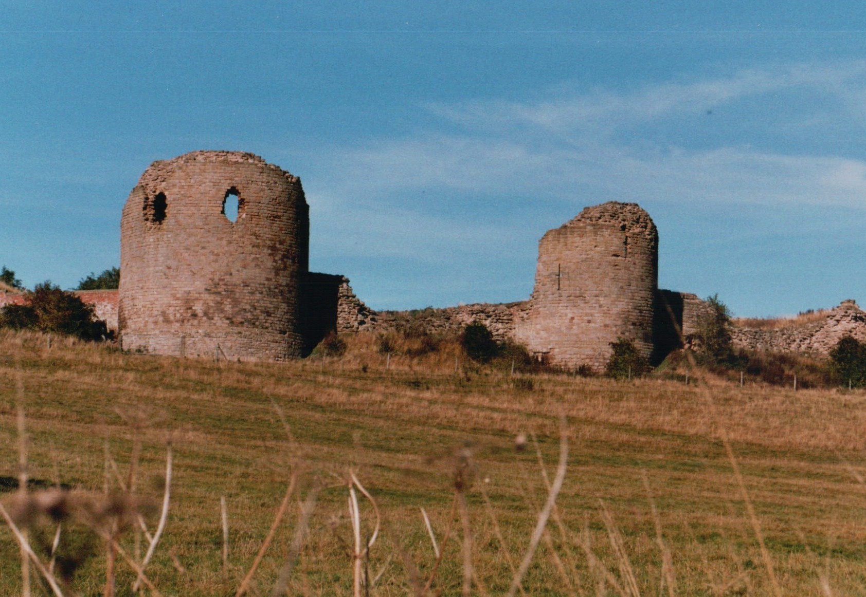
Chartley Castle
Chartley Castle lies in ruins to the north of the village of Stowe-by-Chartley in Staffordshire, between Stafford and Uttoxeter (grid reference SK010285...

Chartley railway station
Chartley railway station was a former British railway station to serve the village of Stowe-by-Chartley in Staffordshire. It was opened by the Stafford...
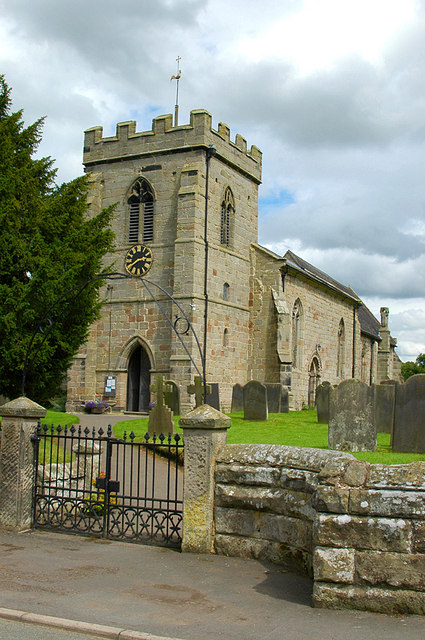
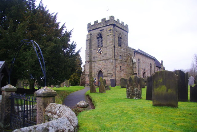
Stowe-by-Chartley
Stowe-by-Chartley is a village and civil parish in the Borough of Stafford, Staffordshire, England. According to the parish council, the parish includes...

Chartley Moss
Chartley Moss is a 105.80 hectare biological Site of Special Scientific Interest in Staffordshire, notified in 1987. The area has been designated as an...
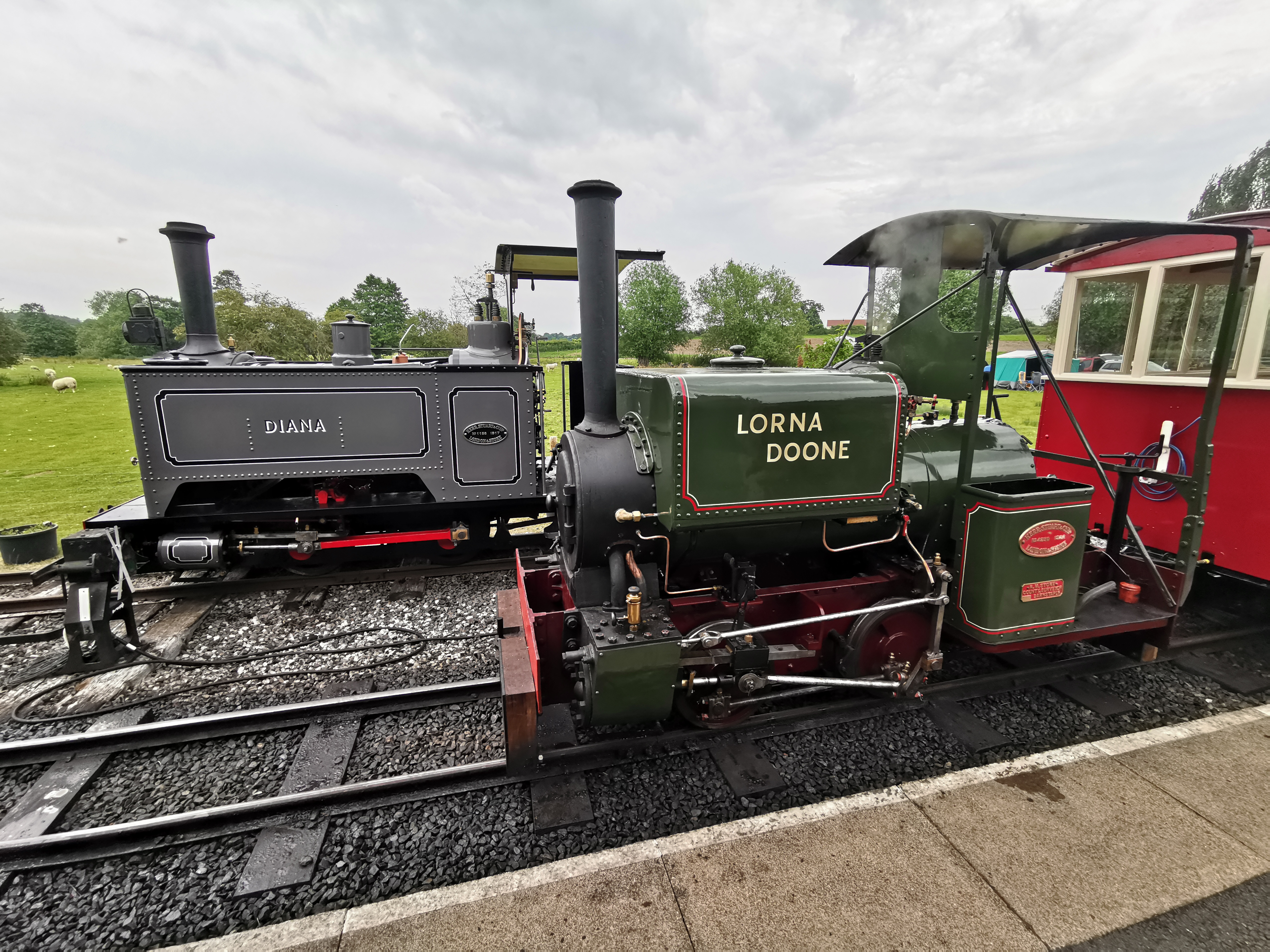
Amerton Railway
The Amerton Railway is a 2 ft (610 mm) narrow gauge heritage railway in the English county of Staffordshire. It is owned by Staffordshire Narrow Gauge...

Amerton
Amerton is a small village in the Borough of Stafford, Staffordshire, England, situated on the A518 road between Stafford and Uttoxeter. The population...
RAF Hixon
Royal Air Force Hixon, or more simply RAF Hixon, was a Royal Air Force station located on the north western edge of the village of Hixon in Staffordshire...

RAF Seighford
Royal Air Force Seighford or more simply RAF Seighford is a former Royal Air Force satellite station located 3.6 miles (5.8 km) northwest of Stafford,...
Nearby Amenities
Located within 500m of 52.855379,-1.986236Have you been to Castle Pool?
Leave your review of Castle Pool below (or comments, questions and feedback).