Bron Ogwen

Settlement in Caernarfonshire

Wales

Bron Ogwen

Cen llwyd / Grey lichen
Cen llwyd / Grey lichen Credit: Ceri Thomas

Bron Ogwen is a small village located in the county of Caernarfonshire, Wales. It is situated in the scenic Ogwen Valley, which lies between the towering peaks of Snowdonia National Park. The village is surrounded by breathtaking natural beauty and is a popular destination for outdoor enthusiasts and nature lovers.

The main attraction of Bron Ogwen is its close proximity to numerous hiking trails and mountainous landscapes. It serves as a perfect base for those wishing to explore the stunning mountains and valleys of Snowdonia. Among the notable hiking routes nearby is the famous Glyderau range, where experienced climbers can tackle challenging peaks such as Tryfan and Glyder Fawr.

Despite its small size, Bron Ogwen offers a range of amenities to cater to visitors. There are a few local shops and a traditional pub where visitors can enjoy a pint of locally brewed ale. Additionally, there are a few guesthouses and bed and breakfast accommodations available for those who wish to extend their stay.

The village is also known for its rich cultural heritage. It is home to the annual 'Eisteddfod' festival, a celebration of Welsh language and culture, attracting participants from all over the country. The festival includes music, poetry, and traditional Welsh competitions.

Overall, Bron Ogwen is a tranquil and picturesque village where visitors can immerse themselves in the breathtaking landscapes of Snowdonia National Park and experience the warmth of Welsh culture. It provides an ideal destination for those seeking outdoor adventures or a peaceful retreat in the heart of nature.

If you have any feedback on the listing, please let us know in the comments section below.
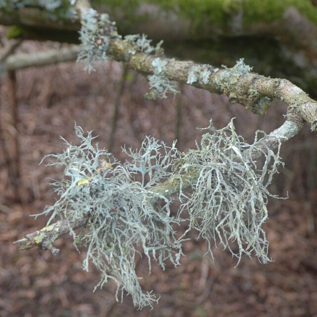
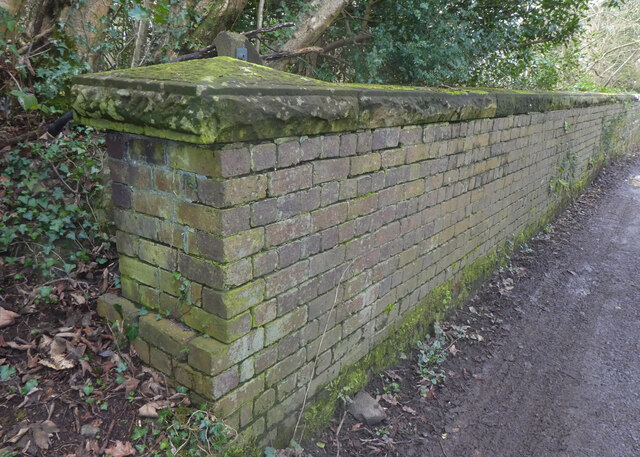
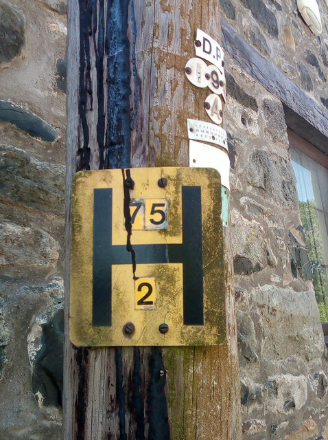
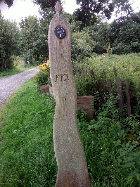
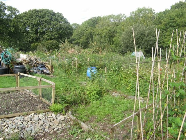
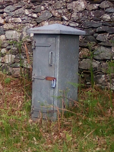
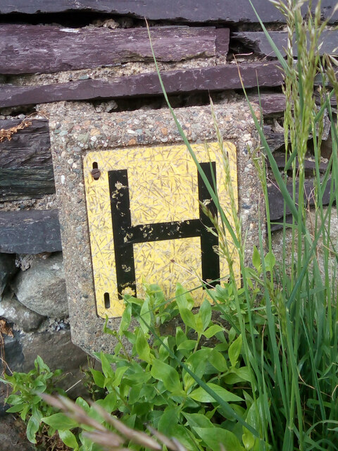
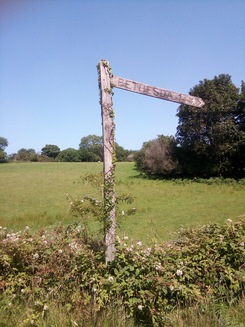
Bron Ogwen Images

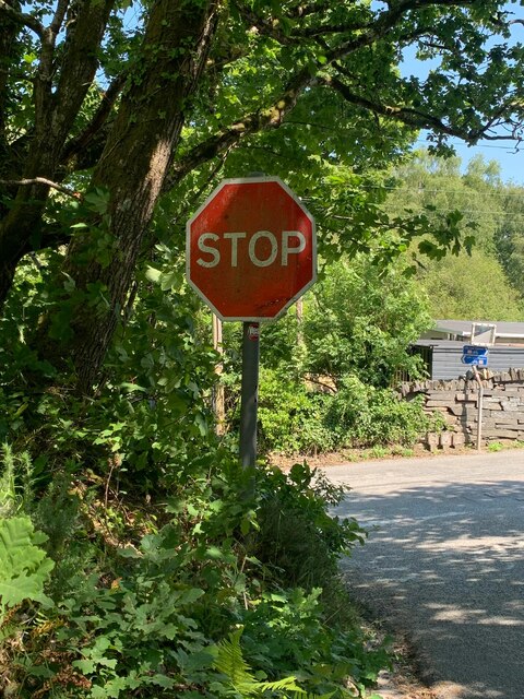
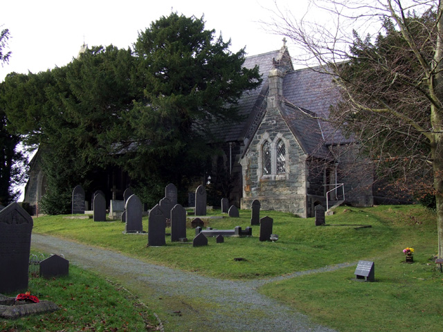
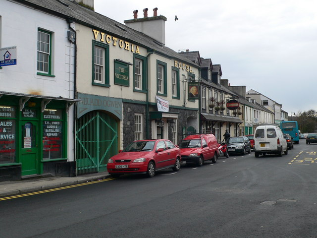
Images are sourced within 2km of 53.186187/-4.0803361 or Grid Reference SH6167. Thanks to Geograph Open Source API. All images are credited.

Cen llwyd / Grey lichen
Pont dros Lon Las Ogwen / Bridge over Lon Las Ogwen
Hydrant sign on telephone pole, Tregarth
Moelyci heritage trail waymark No. 1, Tregarth
Tregarth community allotments Allotment gardens at Moelyci, where rabbits and stony soil are obvious problems.
Tregarth community allotments
Allotment gardens at Moelyci, where rabbits and stony soil are obvious problems.
Electrical cabinet on Bangor Road, Bethesda
Hydrant sign on Cefnfaes Road, Bethesda
Sluice valve marker at the junction of Station Road and Bangor Road, Bethesda
Damaged sluice valve marker on Bangor Road, Bethesda
Sluice valve marker on Bangor Road, Bethesda
Wooden fingerpost, Sling
Benchmark on Llwyn Bleddyn Road, Rachub For more details see: <span class="nowrap"><a title="https://www.bench-marks.org.uk/bm29697" rel="nofollow ugc noopener" href="https://www.bench-marks.org.uk/bm29697">Link</a><img style="margin-left:2px;" alt="External link" title="External link - shift click to open in new window" src="https://s1.geograph.org.uk/img/external.png" width="10" height="10"/></span>
Benchmark on Llwyn Bleddyn Road, Rachub
For more details see: LinkExternal link
Dŵr Cymru / Welsh Water sign on Britannia Street, Rachub
Sign at Tan y Bwlch substation on Tan y Garth, Rachub
Give way 100 yards sign, Tregarth
Stop sign at the junction of Coetmor New Road and Ffordd Bangor, Bethesda
Stop sign at the junction of Allt Bryn Eglwys and the B4409, Tanysgafell
Kissing gate leading to footpath off the A5, Tregarth
Show me another place!

Bron Ogwen is located at Grid Ref: SH6167 (Lat: 53.186187, Lng: -4.0803361)

Unitary Authority: Gwynedd

Police Authority: North Wales

What 3 Words

///titles.delays.remodels. Near Tregarth, Gwynedd

Related Wikis

Tregarth

Tregarth is a village near Thomas Telford's A5 London to Holyhead road between the town of Bethesda and the city of Bangor in Gwynedd, north Wales. It...

Bethesda railway station

Bethesda railway station was a station in Bethesda, Gwynedd, Wales. == History == The station was opened by the London and North Western Railway on 1 July...

Tregarth railway station

Tregarth railway station is a disused railway station in Gwynedd, Wales. It was located on the Bethesda Branch line, just north of the village of Tregarth...

Ogwen (electoral ward)

Ogwen is the name of an electoral ward covering part of the village and community of Bethesda in Gwynedd, Wales. It elects councillors to the community...

Nearby Amenities

Located within 500m of 53.186187,-4.0803361
Traffic Calming: hump
Lat/Long: 53.1899483/-4.0831104
Traffic Calming: hump
Lat/Long: 53.1872142/-4.0811892
Traffic Calming: hump
Lat/Long: 53.1866061/-4.0806378
Barrier: kissing_gate
Lat/Long: 53.1820454/-4.0812134
Barrier: kissing_gate
Lat/Long: 53.1825194/-4.0819297
Bus Stop
Bus: yes
Public Transport: platform
Lat/Long: 53.1896255/-4.0828713
Barrier: stile
Foot: yes
Material: stone
Stile: stepover
Lat/Long: 53.1891634/-4.0813225
Post Box
Operator: Royal Mail
Operator Wikidata: Q638098
Post Box Type: lamp
Ref: LL57 122
Lat/Long: 53.1902653/-4.0834979
Post Box
Ref: LL57 297
Lat/Long: 53.1855187/-4.0799393
Barrier: kissing_gate
Lat/Long: 53.1853596/-4.0866167
Lon Las Ogwen
Board Type: history
Information: board
Tourism: information
Lat/Long: 53.1891198/-4.0805301
Post Box
Collection Times: Mo-Fr 11:00; Sa 10:00
Drive Through: no
Post Box Type: wall
Royal Cypher: GR
Royal Cypher Wikidata: Q33102273
Lat/Long: 53.1885412/-4.0786459
Traffic Calming: hump
Lat/Long: 53.1849505/-4.0792869
Traffic Calming: hump
Lat/Long: 53.1862049/-4.0803301
Traffic Calming: hump
Lat/Long: 53.185719/-4.0800718
Traffic Calming: hump
Lat/Long: 53.1878785/-4.0817193
Traffic Calming: hump
Lat/Long: 53.1885888/-4.0820103
Traffic Calming: hump
Lat/Long: 53.1893652/-4.0825773
Speed Display
Direction: 165
Lat/Long: 53.1893786/-4.0825315
Traffic Calming: hump
Lat/Long: 53.1869037/-4.0809108
Place Of Worship
coeden hardd
Religion: trimblism
Lat/Long: 53.187119/-4.0746507
Place Of Worship
Ysymgeir
Religion: tjrimblist
Lat/Long: 53.1863394/-4.0749211
Bard
Website: www.rhystrimble.com
Lat/Long: 53.1865072/-4.0745117
The data included in this document is from www.openstreetmap.org. The data is made available under ODbL.

Have you been to Bron Ogwen?

Leave your review of Bron Ogwen below (or comments, questions and feedback).