Bromswell Heath

Settlement in Suffolk East Suffolk

England

Bromswell Heath

Area around Woodbridge from air, 2001 An aerial photo of the Deben estuary and the town of Woodbridge (left). Two airfields are shown: the former Woodbridge Airfield amid Rendlesham Forest to the right and the disused Bentwaters Airfield further away. The site of the Sutton Hoo Ship Burial is behind the small clouds left of centre, across the river from the town.
Area around Woodbridge from air, 2001 Credit: Derek Harper

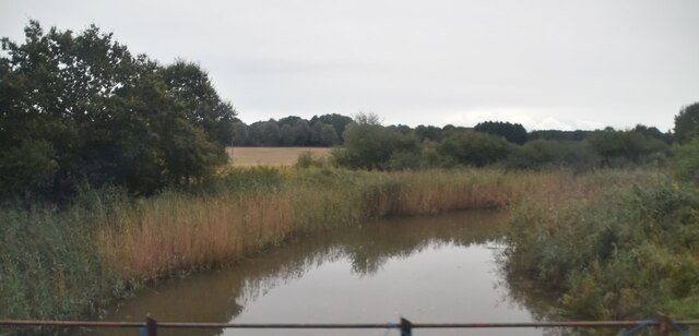
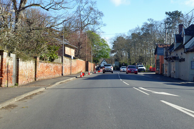
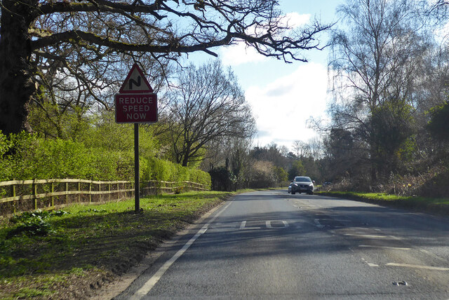
Bromswell Heath is a small village located in the county of Suffolk, England. Situated approximately six miles east of the town of Woodbridge, it is nestled amidst the picturesque countryside of the Deben River Valley. The village is characterized by its charming rural setting, with rolling hills, lush green fields, and meandering streams that contribute to its natural beauty.

With a population of around 500 residents, Bromswell Heath boasts a close-knit community that takes pride in its rich history. The village is thought to have ancient origins, with evidence of human settlement dating back to the Iron Age. Over the years, the area has witnessed various historical events and has been shaped by the agricultural practices that have sustained the local economy.

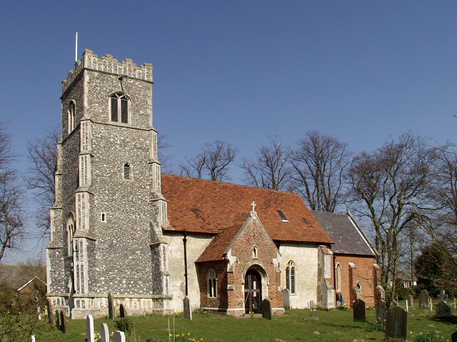
The heart of the village is centered around St. Mary's Church, a beautiful medieval building that serves as a focal point for religious and community gatherings. The church, with its stunning architecture and historic features, attracts visitors from near and far.

Despite its small size, Bromswell Heath offers a range of amenities to its residents. These include a local primary school, a village hall, and a pub that serves as a hub for socializing. The surrounding countryside also provides opportunities for outdoor activities, such as walking, cycling, and horse riding.

Overall, Bromswell Heath is a quintessential English village, with its idyllic setting, strong community spirit, and rich historical heritage, making it a charming place to live or visit.

If you have any feedback on the listing, please let us know in the comments section below.

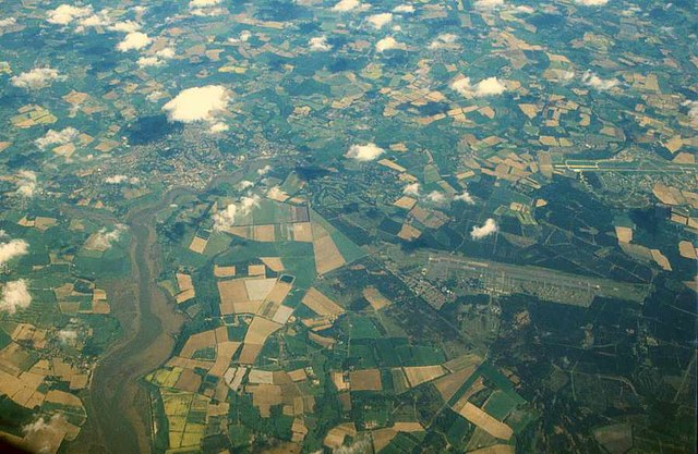
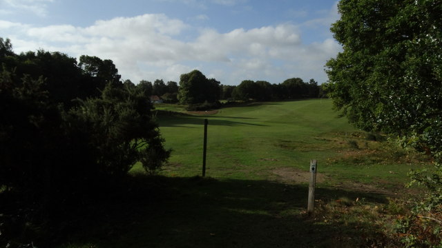
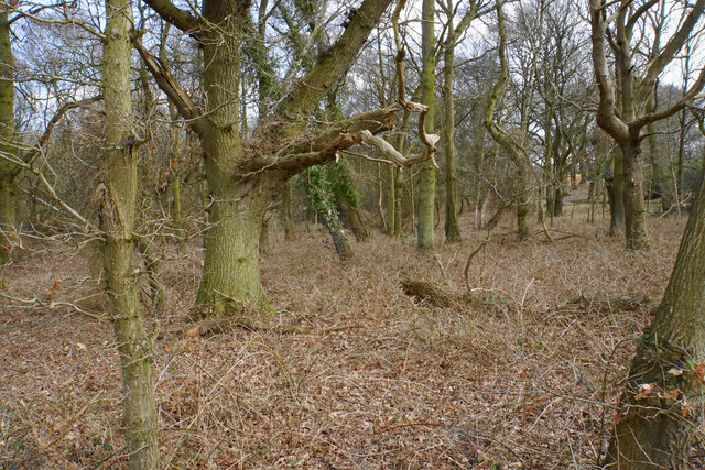
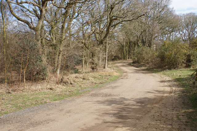
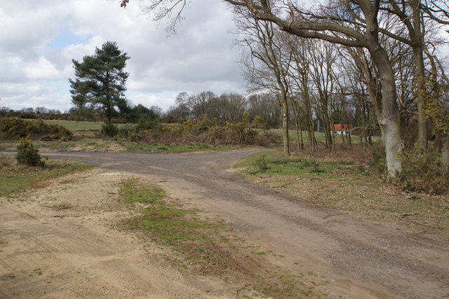
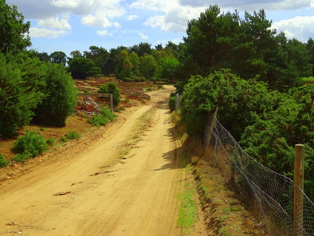
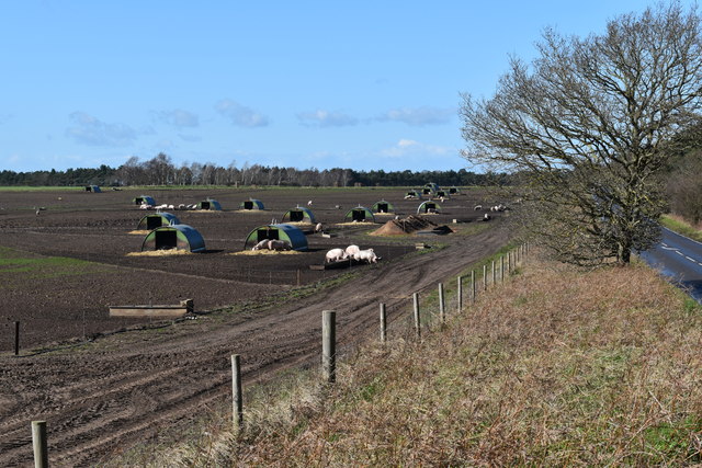
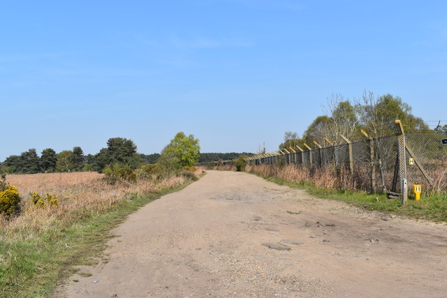
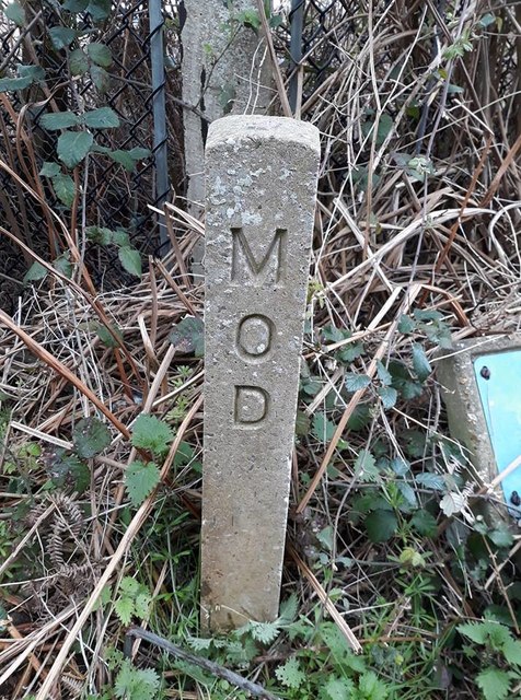
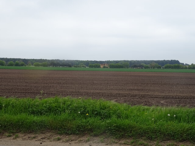
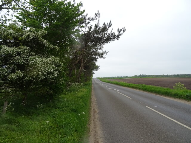
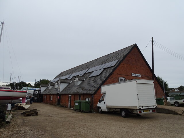
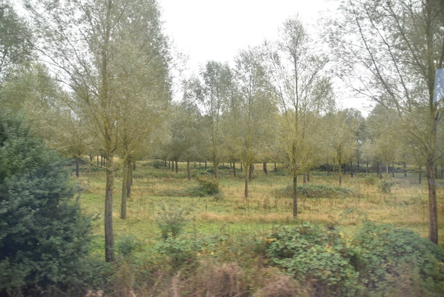
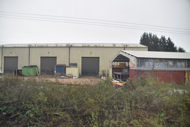
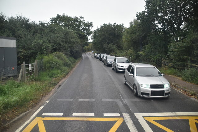
Bromswell Heath Images

Images are sourced within 2km of 52.095878/1.3495426 or Grid Reference TM2949. Thanks to Geograph Open Source API. All images are credited.

Area around Woodbridge from air, 2001 An aerial photo of the Deben estuary and the town of Woodbridge (left). Two airfields are shown: the former Woodbridge Airfield amid Rendlesham Forest to the right and the disused Bentwaters Airfield further away. The site of the Sutton Hoo Ship Burial is behind the small clouds left of centre, across the river from the town.
Area around Woodbridge from air, 2001
An aerial photo of the Deben estuary and the town of Woodbridge (left). Two airfields are shown: the former Woodbridge Airfield amid Rendlesham Forest to the right and the disused Bentwaters Airfield further away. The site of the Sutton Hoo Ship Burial is behind the small clouds left of centre, across the river from the town.
Sandlings Walk across Woodbridge Golf Course
Woodland by Woodbridge Golf Club Mature broad-leaved trees have a safe refuge here.
Woodland by Woodbridge Golf Club
Mature broad-leaved trees have a safe refuge here.
Track on Bromeswell Heath The track incorporates a bridleway leading away from Woodbridge Golf Club.
Track on Bromeswell Heath
The track incorporates a bridleway leading away from Woodbridge Golf Club.
Track junction by Woodbridge Golf Club The route right will make you cross a fairway.
Track junction by Woodbridge Golf Club
The route right will make you cross a fairway.
Private track on Bromswell Heath This pic was taken from the public footpath, so I wasn't trespassing.
Private track on Bromswell Heath
This pic was taken from the public footpath, so I wasn't trespassing.
Pigs on Sutton Walks
Perimeter fence of the former RAF Woodbridge site Looking north from Heath Road.  The site formed part of the heathland of the once-extensive Sutton Common.
Perimeter fence of the former RAF Woodbridge site
Looking north from Heath Road. The site formed part of the heathland of the once-extensive Sutton Common.
Old Boundary Marker Ministry of Defence Boundary Marker in front of wire fence at the northwest corner of RAF Woodbridge. EYKE parish. Inscribed MOD vertically.

Milestone Society National ID: SU_MODEKY01em
Old Boundary Marker
Ministry of Defence Boundary Marker in front of wire fence at the northwest corner of RAF Woodbridge. EYKE parish. Inscribed MOD vertically. Milestone Society National ID: SU_MODEKY01em
Field off the B1083
Field off the B1083
B1083 towards Melton
The Granary
The Granary
River Deben The recognised source is to the west of Debenham, though a second, higher source runs south from the parish of Bedingfield. The river, which is just over 33 miles long, passes through Woodbridge, where it becomes a tidal estuary before emptying into the North Sea between Felixstowe and Bawdsey at Harwich Haven.
River Deben
The recognised source is to the west of Debenham, though a second, higher source runs south from the parish of Bedingfield. The river, which is just over 33 miles long, passes through Woodbridge, where it becomes a tidal estuary before emptying into the North Sea between Felixstowe and Bawdsey at Harwich Haven.
Open woodland
Open woodland
Industrial units
Industrial units
Wilford Bridge Rd <span class="nowrap"><a title="https://en.wikipedia.org/wiki/A1152_road" rel="nofollow ugc noopener" href="https://en.wikipedia.org/wiki/A1152_road">Link</a><img style="margin-left:2px;" alt="External link" title="External link - shift click to open in new window" src="https://s1.geograph.org.uk/img/external.png" width="10" height="10"/></span>
Wilford Bridge Rd
B1438 Melton Road Towards Melton village centre from Woodbridge.
B1438 Melton Road
Towards Melton village centre from Woodbridge.
A1152 Orford Road Towards Orford, but the A1152 turns away from the Orford road towards Snape. It does not even reach that, becoming a B road after Rendlesham where a former American air base, RAF Bentwaters, was probably the reason for its A status.
A1152 Orford Road
Towards Orford, but the A1152 turns away from the Orford road towards Snape. It does not even reach that, becoming a B road after Rendlesham where a former American air base, RAF Bentwaters, was probably the reason for its A status.
Show me another place!

Bromswell Heath is located at Grid Ref: TM2949 (Lat: 52.095878, Lng: 1.3495426)

Administrative County: Suffolk

District: East Suffolk

Police Authority: Suffolk

What 3 Words

///married.capers.templates. Near Woodbridge, Suffolk

Nearby Locations

Bromswell Heath

Related Wikis

Sutton Hoo Helmet (sculpture)

Sutton Hoo Helmet is a 2002 sculpture by the English artist Rick Kirby. A representation of the Anglo-Saxon helmet by the same name found in the Sutton...
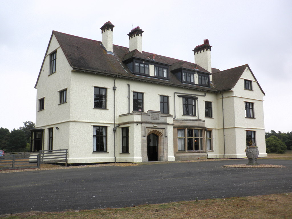
Tranmer House

Tranmer House is a country house in Sutton Hoo, Woodbridge, Suffolk, England, dating from 1910. The house is located on the Sutton Hoo Anglo-Saxon burial...

Bromeswell Green

Bromeswell Green is a 7.2-hectare (18-acre) nature reserve in Bromeswell, east of Woodbridge in Suffolk. It is managed by the Suffolk Wildlife Trust.This...
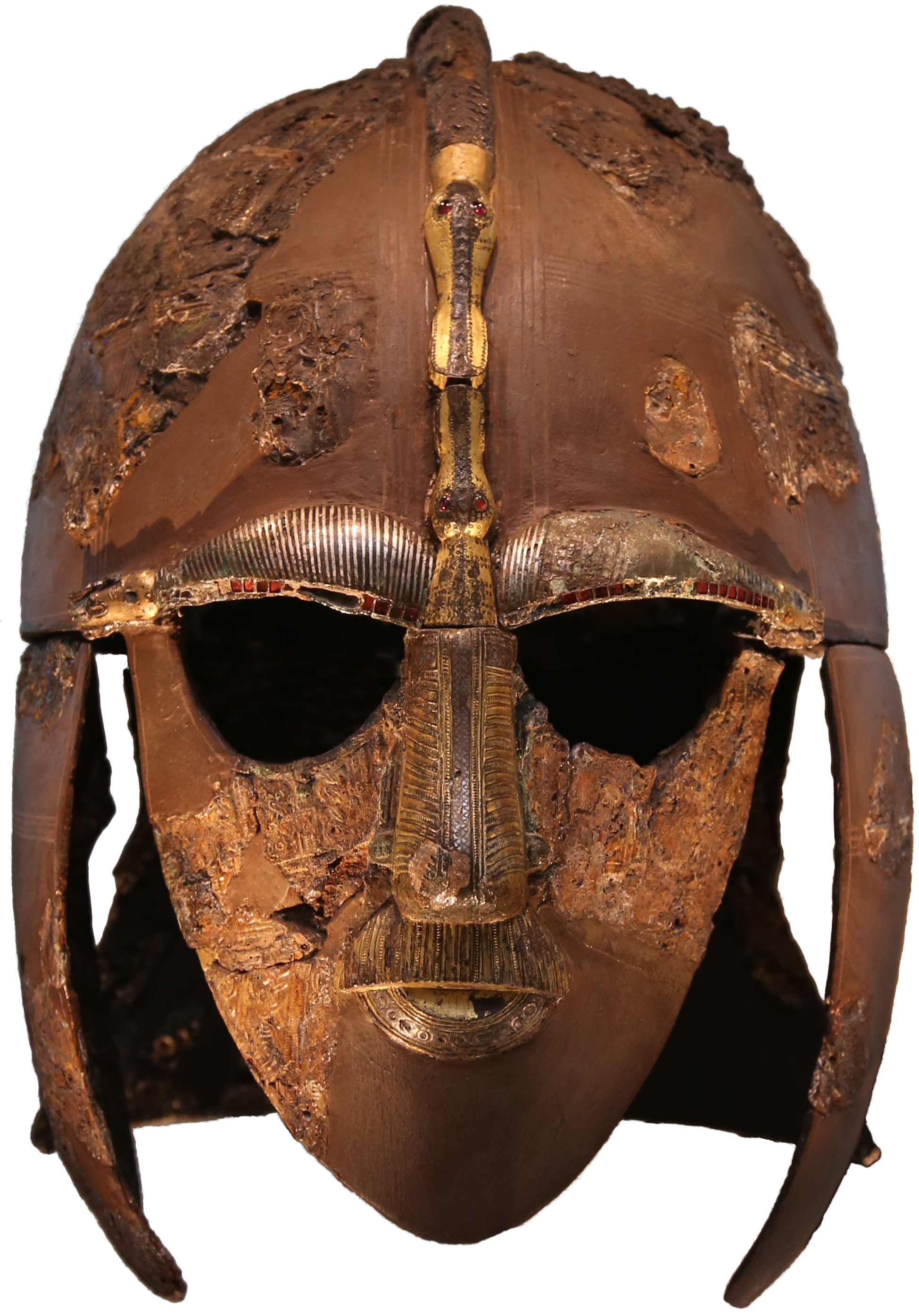
Sutton Hoo helmet

The Sutton Hoo helmet is a decorated Anglo-Saxon helmet found during a 1939 excavation of the Sutton Hoo ship-burial. It was buried around the years c...

Sutton Hoo

Sutton Hoo is the site of two Anglo-Saxon cemeteries dating from the 6th to 7th centuries near Woodbridge, Suffolk, England. Archaeologists have been excavating...

Melton railway station, Suffolk

Melton railway station is on the East Suffolk Line in the east of England, serving the village of Melton, Suffolk. It is 11 miles 49 chains (18.7 km) down...

Bromeswell

Bromeswell is a village and civil parish in the East Suffolk district of Suffolk, England about 2 miles east of Woodbridge. Situated near the River Deben...

Melton, Suffolk

Melton is a village in Suffolk, England, located approximately one mile northeast of Woodbridge. The 2001 census recorded a population of 3,718, the population...

Nearby Amenities

Located within 500m of 52.095878,1.3495426
Bus Stop
Coach Park
Naptan AtcoCode: 390060583
Naptan Bearing: SW
Naptan BusStopType: CUS
Naptan CommonName: Coach Park
Naptan Indicator: o/s
Naptan Landmark: Coach Park
Naptan NaptanCode: sufgtapj
Naptan Street: Visitors Centre
Naptan Verified: no
Source: naptan_import
Lat/Long: 52.0951413/1.3425029
Bus Stop
Entrance
Naptan AtcoCode: 390060584
Naptan Bearing: N
Naptan CommonName: Entrance
Naptan Indicator: o/s
Naptan Landmark: Entrance
Naptan NaptanCode: sufgtapm
Naptan Street: Woodbridge Road
Naptan Verified: no
Source: naptan_import
Lat/Long: 52.0957002/1.3495344
Bus Stop
Entrance
Naptan AtcoCode: 390060585
Naptan Bearing: S
Naptan BusStopType: CUS
Naptan CommonName: Entrance
Naptan Indicator: opp
Naptan Landmark: Entrance
Naptan NaptanCode: sufgtapt
Naptan Street: Woodbridge Road
Naptan Verified: no
Source: naptan_import
Lat/Long: 52.0958486/1.3496916
Post Box
Collection Times: Mo-Fr 11:30; Sa 11:30
Post Box Mounting: pier
Post Box Type: lamp
Ref: IP12 6344
Royal Cypher: EIIR
Royal Cypher Wikidata: Q33102113
Lat/Long: 52.0959723/1.3494077
Note: junction geometry changed since Bing Aerial - no longer a gentle slip
Lat/Long: 52.0922825/1.3525147
Fixme: incomplete
Lat/Long: 52.0998333/1.3477087
Rosie Clark
Memorial: plaque
Lat/Long: 52.0922702/1.3526715
Parking
Lat/Long: 52.0923732/1.3538343
Power: pole
Transformer: distribution
Lat/Long: 52.092449/1.3530511
Tourism: picnic_site
Lat/Long: 52.096228/1.3425593
Cheavley Links Livery Centre
Place: locality
Lat/Long: 52.092922/1.34884
Parking
Lat/Long: 52.0992618/1.3538316
Parking
Access: private
Lat/Long: 52.0975276/1.3488065
Parking
Access: private
Lat/Long: 52.0980639/1.3485248
Parking
Access: private
Lat/Long: 52.0950168/1.35057
Parking
Access: private
Lat/Long: 52.0956854/1.3511521
Parking
Access: private
Lat/Long: 52.0955808/1.3506585
Parking
Access: private
Lat/Long: 52.0955659/1.3504373
Parking
Access: private
Lat/Long: 52.096333/1.3495401
Parking
Access: private
Lat/Long: 52.0967235/1.3494247
Parking
Access: private
Lat/Long: 52.0960454/1.3501905
Parking
Access: private
Lat/Long: 52.0972582/1.3489285
Parking
Access: private
Lat/Long: 52.0959705/1.3487032
Sutton Hoo Holidays Campsite
Tourism: camp_site
Lat/Long: 52.0959615/1.3487976
Sutton Hoo Campsite
Tourism: camp_site
Lat/Long: 52.0967815/1.3477808
The data included in this document is from www.openstreetmap.org. The data is made available under ODbL.

Have you been to Bromswell Heath?

Leave your review of Bromswell Heath below (or comments, questions and feedback).