Parc Coetmor

Downs, Moorland in Caernarfonshire

Wales

Parc Coetmor

Pont dros Lon Las Ogwen / Bridge over Lon Las Ogwen
Pont dros Lon Las Ogwen / Bridge over Lon Las Ogwen Credit: Ceri Thomas

Parc Coetmor is a picturesque nature reserve located in Caernarfonshire, Wales. Spanning over a vast area of downs and moorland, it offers visitors a unique and diverse landscape to explore.

The reserve is characterized by its rolling hills, heather-covered moorlands, and pockets of dense woodland. The downs in Parc Coetmor are covered with lush grasses and wildflowers, creating a stunning tapestry of colors during the warmer months. These expansive open spaces provide an ideal habitat for a variety of bird species, including skylarks and meadow pipits.

The moorland in Parc Coetmor is a haven for wildlife, with its rugged terrain and heather-clad hillsides. Visitors can spot native species such as red grouse, mountain hares, and even the elusive hen harrier. The moorland also boasts several small streams and ponds, which attract amphibians and insects.

The reserve is crisscrossed by a network of well-maintained footpaths, allowing visitors to explore the natural beauty at their own pace. For those seeking a longer adventure, there are also trails that connect Parc Coetmor to nearby nature reserves and ancient woodlands.

Parc Coetmor is not only a haven for wildlife enthusiasts but also offers stunning panoramic views of the surrounding countryside. On a clear day, visitors can enjoy breathtaking vistas of the Snowdonia National Park and the nearby coastline.

Whether it's birdwatching, hiking, or simply enjoying the tranquility of nature, Parc Coetmor in Caernarfonshire is a must-visit destination for nature lovers of all ages.

If you have any feedback on the listing, please let us know in the comments section below.
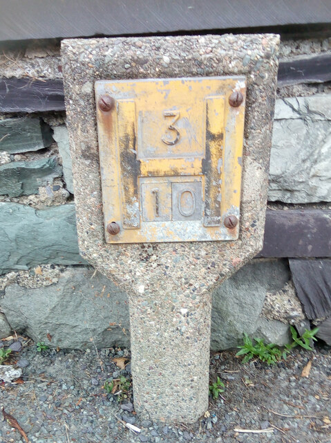
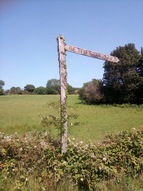
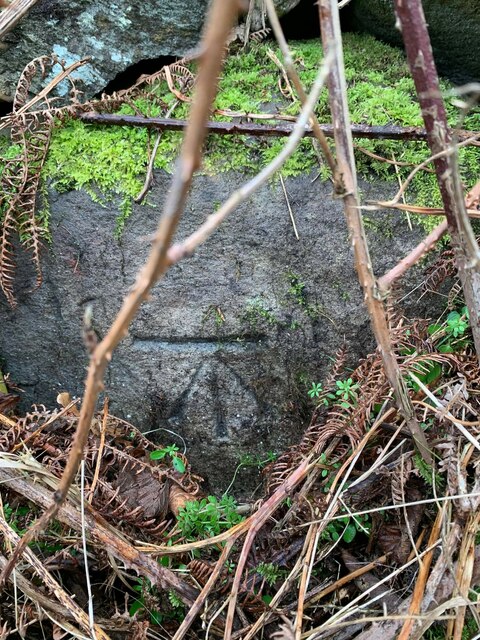
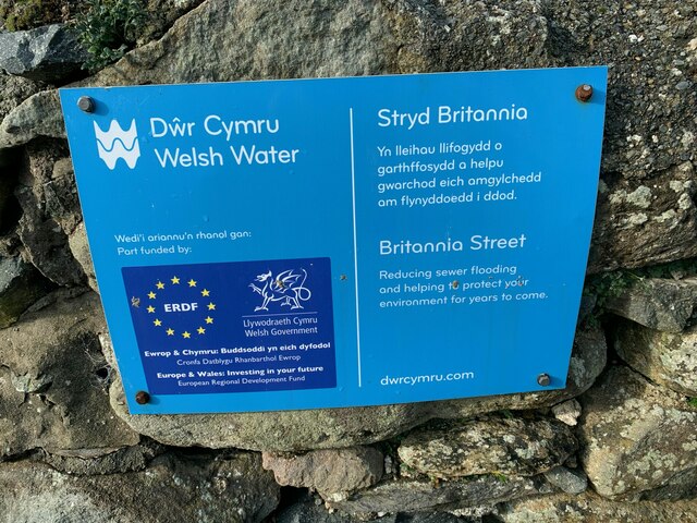
Parc Coetmor Images

Images are sourced within 2km of 53.187315/-4.0723379 or Grid Reference SH6167. Thanks to Geograph Open Source API. All images are credited.

Pont dros Lon Las Ogwen / Bridge over Lon Las Ogwen
Electrical cabinet on Bangor Road, Bethesda
Hydrant sign on Ffordd Gerlan, Bethesda
Electrical cabinet on Ffordd Gerlan, Bethesda
Electrical cabinet on Carneddi Road, Bethesda
Hydrant marker on Gerlan Road, Bethesda
Elizabeth II post box on Braichmelyn, Bethesda LL57 21
Elizabeth II post box on Braichmelyn, Bethesda
LL57 21
Hydrant sign on Cefnfaes Road, Bethesda
Hydrant marker on Braichmelyn, Bethesda
Sluice valve marker at the junction of Station Road and Bangor Road, Bethesda
Damaged sluice valve marker on Bangor Road, Bethesda
Sluice valve marker on Bangor Road, Bethesda
Wooden fingerpost, Sling
Benchmark on Llwyn Bleddyn Road, Rachub For more details see: <span class="nowrap"><a title="https://www.bench-marks.org.uk/bm29697" rel="nofollow ugc noopener" href="https://www.bench-marks.org.uk/bm29697">Link</a><img style="margin-left:2px;" alt="External link" title="External link - shift click to open in new window" src="https://s1.geograph.org.uk/img/external.png" width="10" height="10"/></span>
Benchmark on Llwyn Bleddyn Road, Rachub
For more details see: LinkExternal link
Dŵr Cymru / Welsh Water sign on Britannia Street, Rachub
Sign at Tan y Bwlch substation on Tan y Garth, Rachub
Give way 100 yards sign, Tregarth
Stop sign at the junction of Coetmor New Road and Ffordd Bangor, Bethesda
Show me another place!

Parc Coetmor is located at Grid Ref: SH6167 (Lat: 53.187315, Lng: -4.0723379)

Unitary Authority: Gwynedd

Police Authority: North Wales

What 3 Words

///tunes.aquatic.promotion. Near Tregarth, Gwynedd

Related Wikis

Ysgol Dyffryn Ogwen

Ysgol Dyffryn Ogwen ("Ogwen Valley School") is a bilingual secondary school for pupils aged 11 to 19 years. It is situated in Bethesda in the Ogwen valley...

Ogwen (electoral ward)

Ogwen is the name of an electoral ward covering part of the village and community of Bethesda in Gwynedd, Wales. It elects councillors to the community...

Bethesda railway station

Bethesda railway station was a station in Bethesda, Gwynedd, Wales. == History == The station was opened by the London and North Western Railway on 1 July...

Pantdreiniog quarry

The Pantdreiniog quarry (also known as the Pant Dreiniog quarry) was a slate quarry within the town of Bethesda in North Wales. It was worked between about...

Rachub

Rachub (Welsh: ['raχɪb]) is a village of about 900 people in Dyffryn Ogwen (the Ogwen Valley), Gwynedd, Wales, about three-quarters of an mile (1.2 km...

Jerusalem Chapel, Bethesda

Jerusalem Chapel, Bethesda, Gwynedd, Wales is a Presbyterian Church of Wales chapel built in 1841–1842 and reconstructed in 1872–1875. Of colossal size...

Felin Fawr Slate Works

Felin Fawr Works is a former slate works to Penrhyn Quarry Railway in Bethesda, Wales. It dates back to 1803; This is when the first mill was supposedly...

Bethesda, Gwynedd

Bethesda (; Welsh: [bɛθ'ɛsda]) is a town and community in Gwynedd, Wales. It is on the banks of Afon Ogwen and on the edge of Snowdonia. It is 5 miles...

Nearby Amenities

Located within 500m of 53.187315,-4.0723379
Post Box
Operator: Royal Mail
Operator Wikidata: Q638098
Post Box Type: lamp
Ref: LL57 257
Royal Cypher: EIIR
Royal Cypher Wikidata: Q33102113
Lat/Long: 53.1850177/-4.0668231
Power: pole
Lat/Long: 53.186584/-4.0664206
Power: pole
Lat/Long: 53.1865181/-4.0654658
Bus Stop
Bus: yes
Public Transport: platform
Lat/Long: 53.1896971/-4.0702416
Power: substation
Lat/Long: 53.185373/-4.067433
Post Box
Collection Times: Mo-Fr 11:00; Sa 10:00
Drive Through: no
Post Box Type: wall
Royal Cypher: GR
Royal Cypher Wikidata: Q33102273
Lat/Long: 53.1885412/-4.0786459
Stop
Lat/Long: 53.1852649/-4.0656772
Barrier: kissing_gate
Foot: yes
Lat/Long: 53.1909209/-4.0766855
Direction: WSW
Generator Method: photovoltaic
Generator Output Electricity: yes
Generator Solar Modules: 13
Generator Source: solar
Generator Type: solar_photovoltaic_panel
Location: roof
Power: generator
Lat/Long: 53.1862238/-4.0681537
Direction: S
Generator Method: photovoltaic
Generator Output Electricity: yes
Generator Solar Modules: 4
Generator Source: solar
Generator Type: solar_photovoltaic_panel
Location: roof
Power: generator
Lat/Long: 53.1903151/-4.06735
Direction: E
Generator Method: photovoltaic
Generator Output Electricity: yes
Generator Solar Modules: 7
Generator Source: solar
Generator Type: solar_photovoltaic_panel
Location: roof
Power: generator
Lat/Long: 53.190352/-4.0673098
Direction: W
Generator Method: photovoltaic
Generator Output Electricity: yes
Generator Solar Modules: 5
Generator Source: solar
Generator Type: solar_photovoltaic_panel
Location: roof
Power: generator
Lat/Long: 53.1903488/-4.0674064
Barrier: kissing_gate
Lat/Long: 53.1838349/-4.0722024
Barrier: kissing_gate
Lat/Long: 53.183753/-4.0723808
Place Of Worship
coeden hardd
Religion: trimblism
Lat/Long: 53.187119/-4.0746507
Place Of Worship
Ysymgeir
Religion: tjrimblist
Lat/Long: 53.1863394/-4.0749211
Bard
Website: www.rhystrimble.com
Lat/Long: 53.1865072/-4.0745117
The data included in this document is from www.openstreetmap.org. The data is made available under ODbL.

Have you been to Parc Coetmor?

Leave your review of Parc Coetmor below (or comments, questions and feedback).