Gerrydown Moor
Downs, Moorland in Devon Torridge
England
Gerrydown Moor
Gerrydown Moor, located in the county of Devon, England, is a picturesque area of downs and moorland that stretches across approximately 300 acres. Situated in the southern part of the county, it is a popular destination for nature enthusiasts and outdoor adventurers alike.
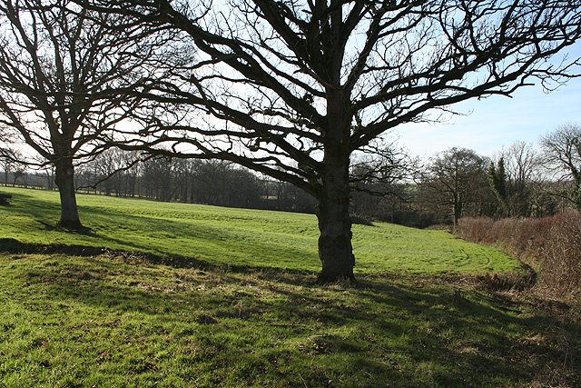
The landscape of Gerrydown Moor is characterized by rolling hills and vast open spaces, adorned with a variety of vegetation. The moorland is predominantly covered in heather, gorse, and grasses, creating a visually stunning sight, especially during the blooming season. The downs, on the other hand, feature a mix of grassland and scattered patches of woodland.
The area is home to a diverse range of wildlife, providing ample opportunities for nature lovers to observe and appreciate the natural wonders that thrive in this ecosystem. Birdwatchers will delight in the presence of numerous species, including the iconic Dartford warbler and the elusive nightjar. Additionally, Gerrydown Moor is a habitat for various mammals, such as rabbits, foxes, and even the occasional roe deer.
For outdoor enthusiasts, Gerrydown Moor offers a network of well-maintained footpaths and trails, enabling visitors to explore the area and immerse themselves in its beauty. The rolling hills provide an excellent terrain for hiking and cycling, while the open spaces are ideal for picnicking and enjoying the tranquility of the surroundings.
Overall, Gerrydown Moor in Devon is a captivating natural landscape, boasting stunning downs and moorland, abundant wildlife, and a myriad of opportunities for outdoor recreation.
If you have any feedback on the listing, please let us know in the comments section below.
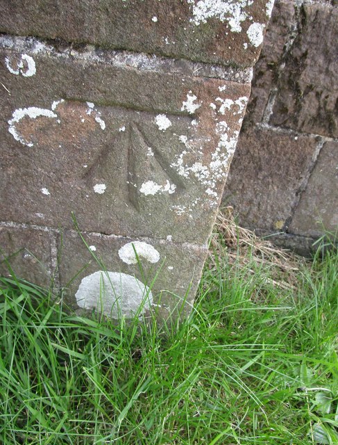
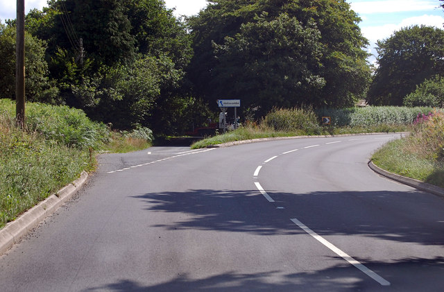
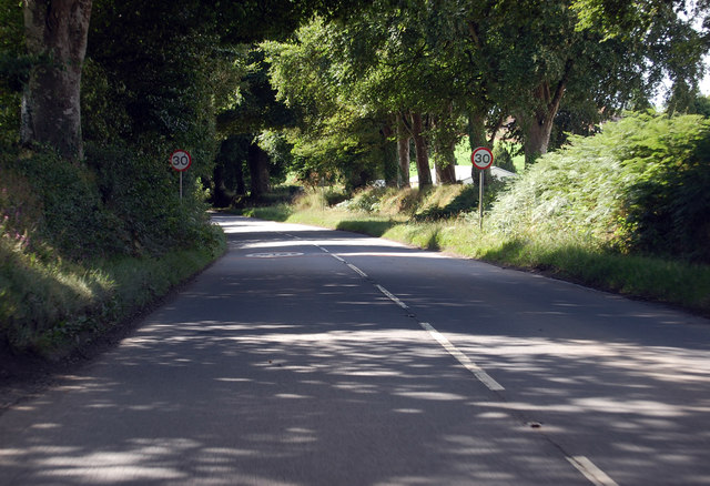
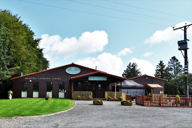
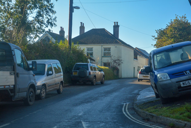
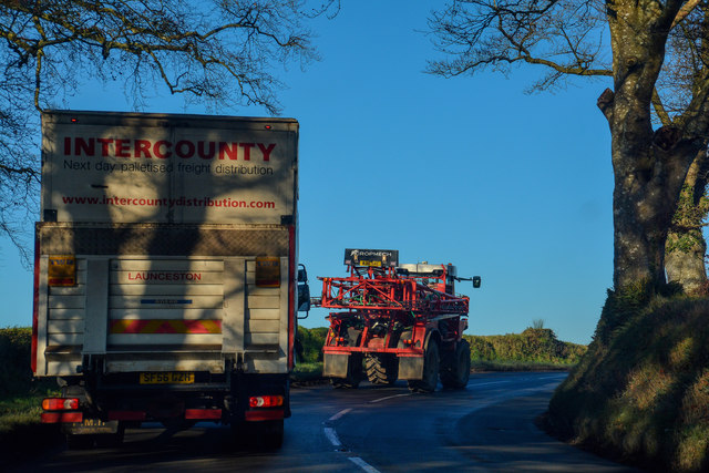
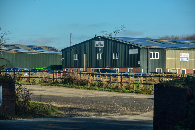
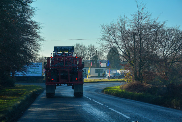
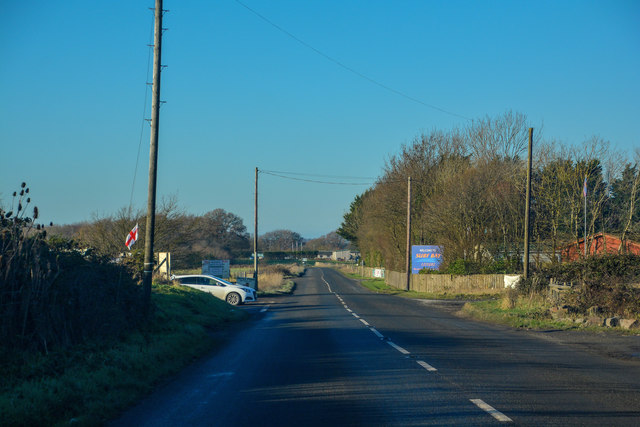
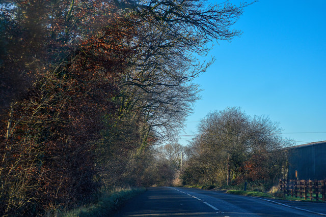
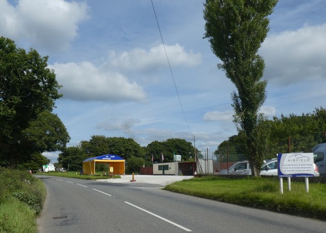
Gerrydown Moor Images
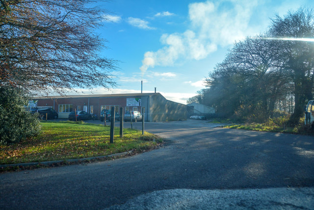
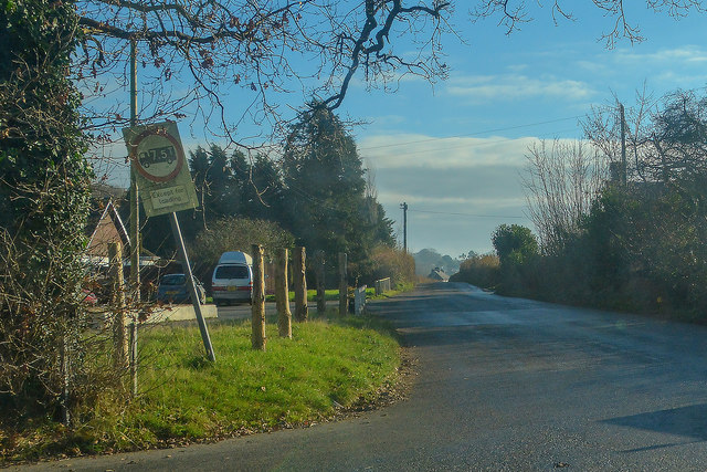
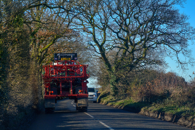
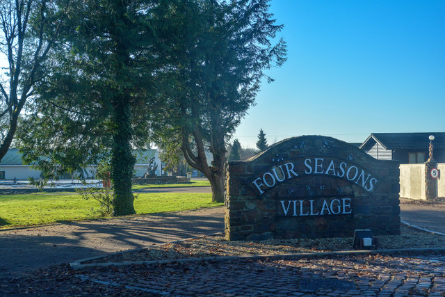
Images are sourced within 2km of 50.862258/-3.9674969 or Grid Reference SS6108. Thanks to Geograph Open Source API. All images are credited.


Gerrydown Moor is located at Grid Ref: SS6108 (Lat: 50.862258, Lng: -3.9674969)
Administrative County: Devon
District: Torridge
Police Authority: Devon and Cornwall
What 3 Words
///witless.pastels.humble. Near Winkleigh, Devon
Nearby Locations
Related Wikis

RAF Winkleigh
Royal Air Force Winkleigh, or more simply RAF Winkleigh, is a former Royal Air Force satellite station located near to Winkleigh, Devon and south of Barnstaple...

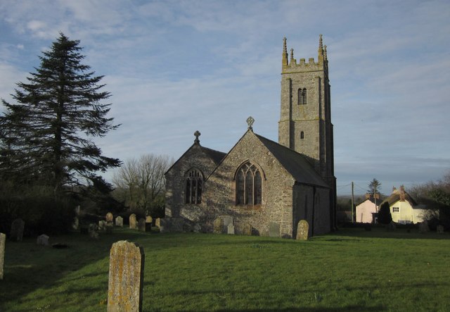
Church of All Saints, Winkleigh
The Church of All Saints is a Church of England parish church in Winkleigh, Devon. The church is a Grade I listed building. == History == The earliest...

Winkleigh
Winkleigh is a civil parish and small village in Devon, England. It is part of the local government area of Torridge District Council. The population of...
Broadwoodkelly
Broadwoodkelly is a village and civil parish in the West Devon district of Devon, England. According to the 2001 census it had a population of 218. The...

Stafford, Dolton
Stafford (anciently Stowford) is an historic manor in the parish of Dolton in Devon, England. The present manor house known as Stafford Barton is a grade...
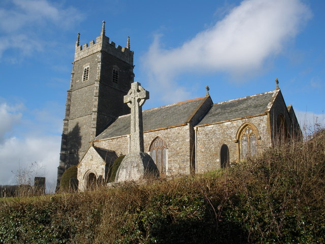
Church of St James, Iddesleigh
St James' Church, Iddesleigh, is a church in the small village of Iddesleigh, Devon, England. It dates back to the 13th century, although most of the...

Wembworthy
Wembworthy is a small village, parish and former manor in Mid-Devon, England. It is situated in the valley of the River Taw, 8 miles north-east of the...

Monkokehampton
Monkokehampton is a village and civil parish in West Devon, England. The village lies on the River Okement, about 3 miles (4.8 km) east-north-east of Hatherleigh...
Nearby Amenities
Located within 500m of 50.862258,-3.9674969Have you been to Gerrydown Moor?
Leave your review of Gerrydown Moor below (or comments, questions and feedback).