Brig o'Turk
Settlement in Perthshire
Scotland
Brig o'Turk
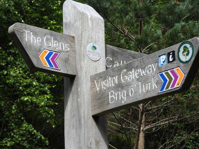
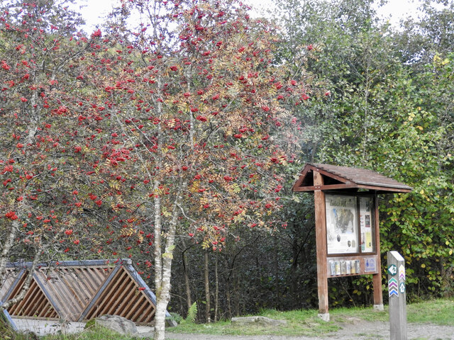
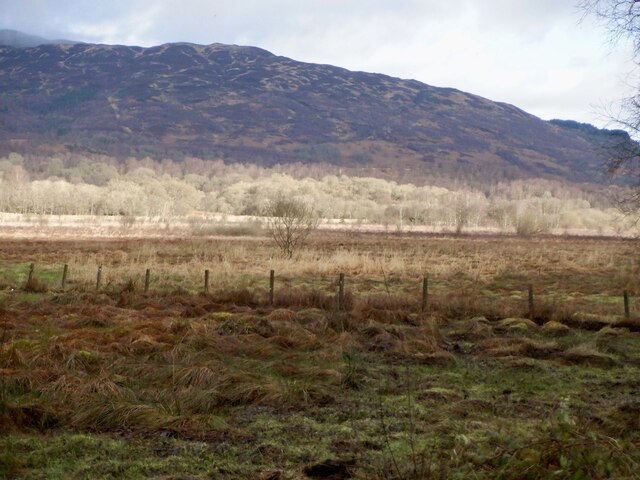
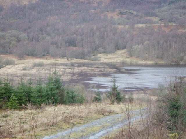
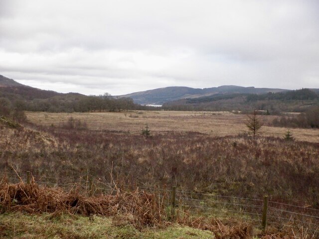
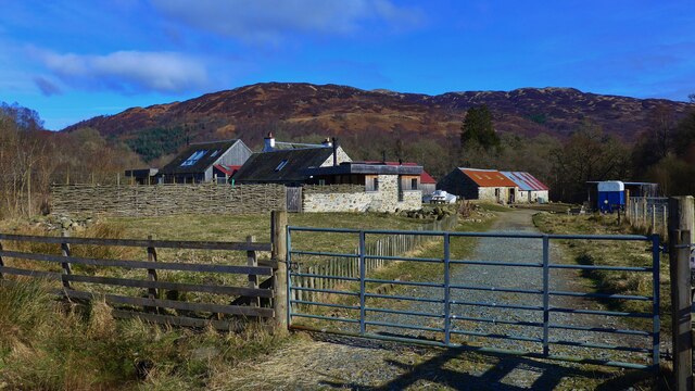
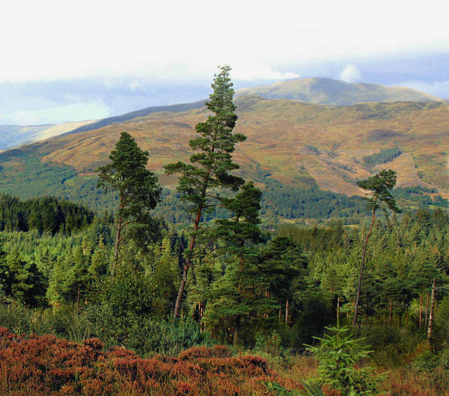
Brig o'Turk is a quaint village located in the heart of Perthshire, Scotland. Situated within the Loch Lomond and The Trossachs National Park, it is surrounded by stunning landscapes and natural beauty, making it a popular destination for nature lovers and outdoor enthusiasts.
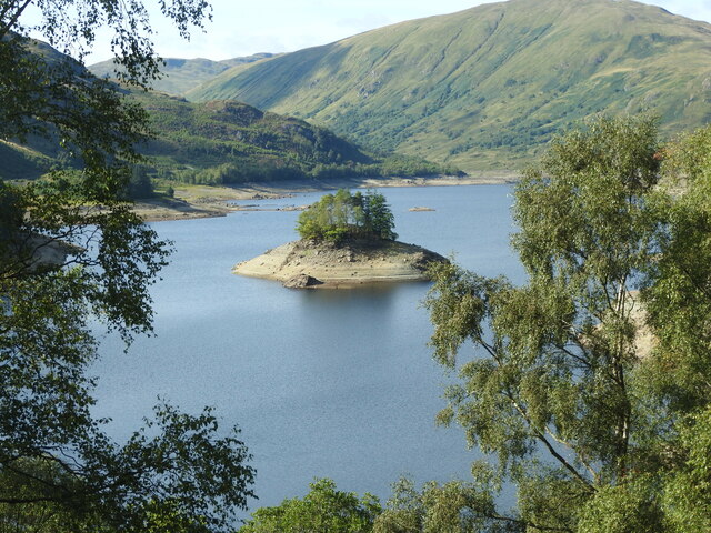
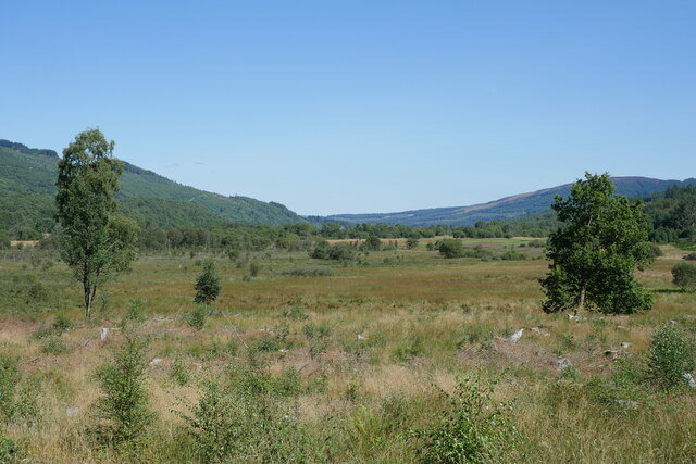
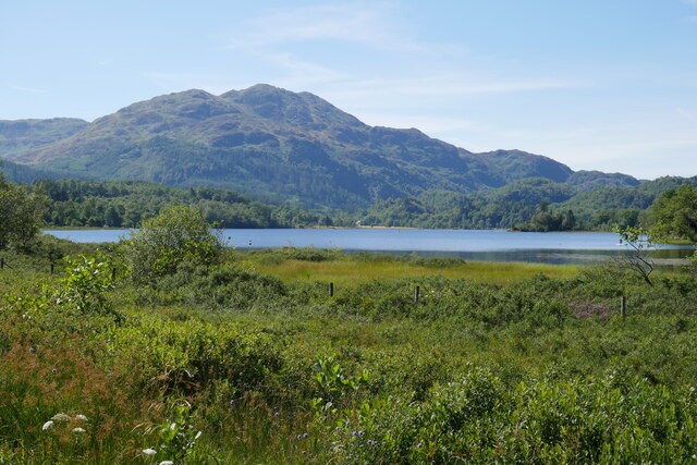
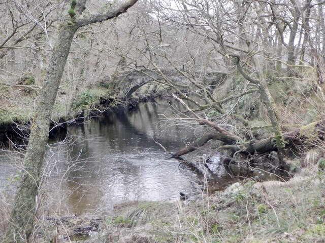
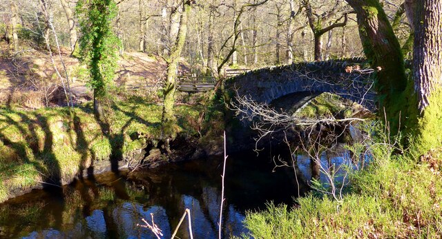
The village itself is small, with a population of around 200 residents. It is known for its picturesque setting, nestled between the Ben Venue and Ben A'an mountains, and is crossed by the River Turk. The name "Brig o'Turk" translates to "Bridge of the Wild Boar," which is believed to reference a historic bridge that once spanned the river.
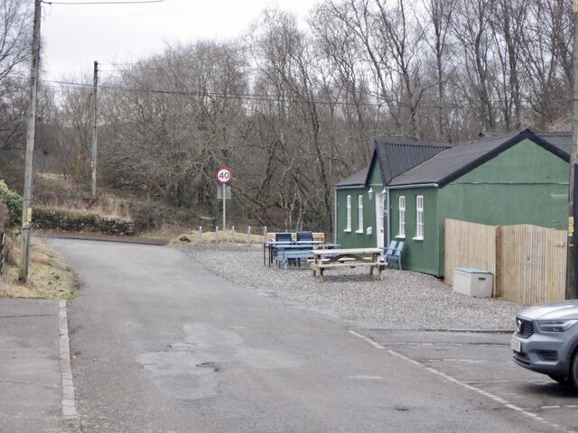
Despite its small size, Brig o'Turk offers a range of amenities for visitors. The local pub, The Byre Inn, is a popular spot for both locals and tourists, offering a cozy atmosphere and traditional Scottish fare. Additionally, there are several bed and breakfasts in the area, providing accommodation options for those looking to spend more time exploring the surrounding countryside.
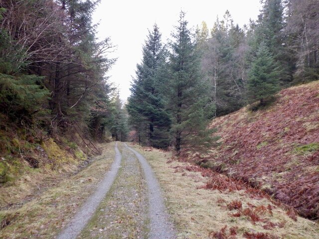
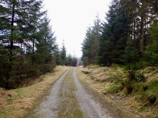
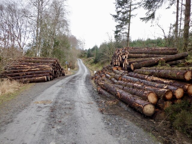
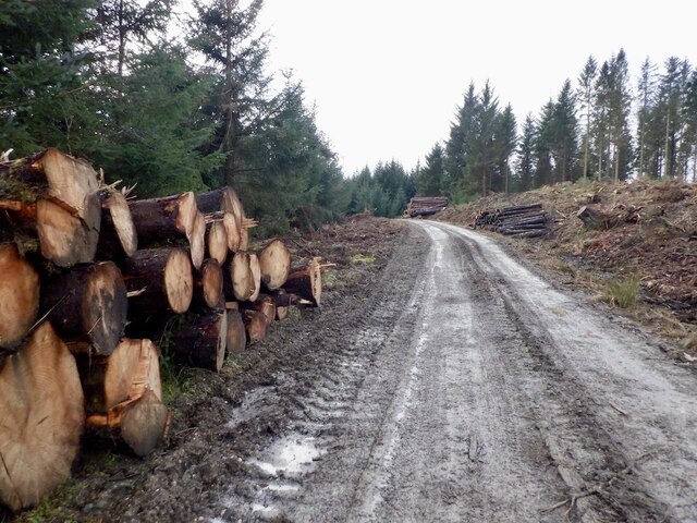
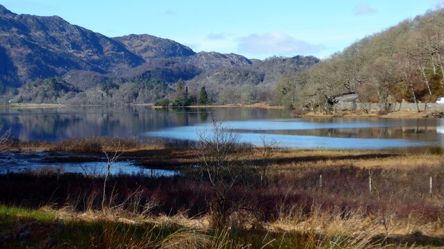
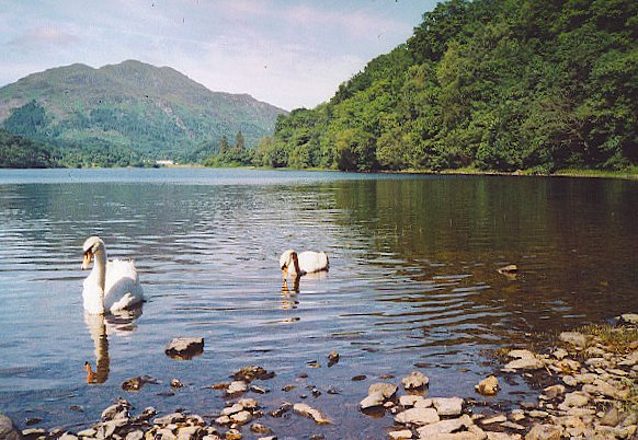
Outdoor activities are a major draw to Brig o'Turk, with opportunities for hiking, cycling, and fishing readily available. The nearby Loch Katrine offers scenic boat trips, while the surrounding mountains provide stunning vistas and challenging hikes. Wildlife enthusiasts can also spot a variety of birds, deer, and other animals in the area.
Overall, Brig o'Turk offers a peaceful escape in the heart of Scotland's natural beauty, providing a perfect retreat for those seeking tranquility and outdoor adventures.
If you have any feedback on the listing, please let us know in the comments section below.
Brig o'Turk Images
Images are sourced within 2km of 56.230057/-4.3638646 or Grid Reference NN5306. Thanks to Geograph Open Source API. All images are credited.
Brig o'Turk is located at Grid Ref: NN5306 (Lat: 56.230057, Lng: -4.3638646)
Unitary Authority: Stirling
Police Authority: Forth Valley
What 3 Words
///piston.nicer.loudness. Near Callander, Stirling
Nearby Locations
Related Wikis
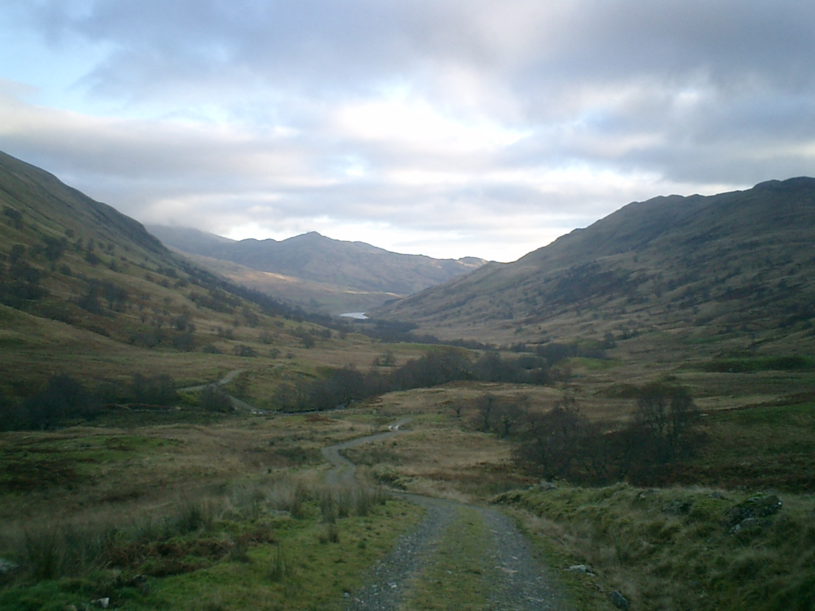
Glen Finglas
Glen Finglas (Scottish Gaelic: Gleann Fhionnghlais) is a glen in the Trossachs, in the Stirling council area of Scotland. It is an area of forest in Highlands...

Brig o' Turk
Brig o' Turk (Scottish Gaelic: Àird Cheannchnocain) is a small rural village historically in Perthshire and today within the council area of Stirling,...

Bicycle Tree (Trossachs)
The Bicycle Tree is a veteran tree near Brig o' Turk in the Trossachs, Scotland. Dating from the late 19th century, the tree grew in or near to the scrap...

Craiglich
Craiglich is a hill in western Aberdeenshire, with a height of 476 metres (1562 feet). Its ease of access, Marilyn status and scenic views make it popular...
Loch Achray
Loch Achray is a small freshwater loch 11 km (6.8 mi) west of Callander in Stirling district, Scotland. The loch lies between Loch Katrine and Loch Venachar...

Loch Drunkie
Loch Drunkie (Scottish Gaelic: Loch Drongaidh, pronounced [l̪ˠɔx ˈt̪ɾɔŋkɪ]) is a small freshwater loch in the Trossachs near Aberfoyle in the Stirling...
Duke's Pass
Duke's Pass or Dukes Pass is a pass on the A821 road between Aberfoyle and Brig o' Turk in the glen of the Trossachs in the Scottish Highlands. It climbs...

Ben A'an
Ben A'an is a hill in the Trossachs in Scotland. The pointed peak of its west top (454 m/1491 ft) resembles a small mountain. == Location == Ben A'an is...
Nearby Amenities
Located within 500m of 56.230057,-4.3638646Have you been to Brig o'Turk?
Leave your review of Brig o'Turk below (or comments, questions and feedback).