Brickbridge

Settlement in Staffordshire South Staffordshire

England

Brickbridge

Railway Path The south staffordshire railway walk near Himley.
Railway Path Credit: Gordon Griffiths

Brickbridge is a small village located in the county of Staffordshire, England. Situated approximately 6 miles southeast of the county town of Stafford, it is nestled amidst a picturesque countryside setting. The village is home to a close-knit community of around 500 residents.

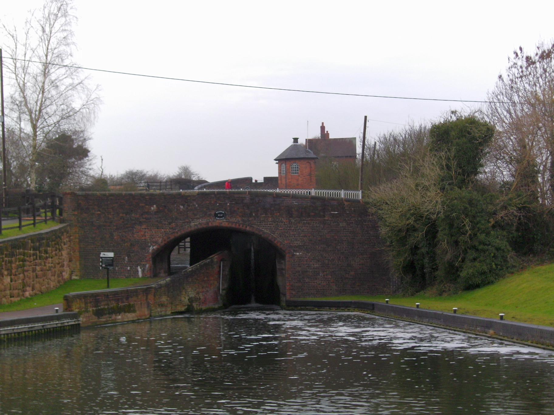
The name Brickbridge is believed to originate from the old bridge that spanned the nearby river, which was constructed using locally sourced bricks. Today, the bridge still stands as a historical landmark, attracting visitors with its architectural charm.

Despite its small size, Brickbridge offers a range of amenities to its residents. The village boasts a primary school, providing education for children aged 4 to 11. Additionally, there is a village hall that serves as a hub for social events and community gatherings.

The surrounding countryside provides ample opportunities for outdoor activities such as hiking, cycling, and fishing. The nearby Cannock Chase, an Area of Outstanding Natural Beauty, is a favorite spot for nature enthusiasts, offering stunning views and diverse wildlife.

For those seeking a taste of history, the nearby Shugborough Hall is a popular attraction. This stately home, once owned by the Anson family, offers guided tours, extensive gardens, and a glimpse into the grandeur of the past.

Brickbridge is well-connected to neighboring towns and cities. The A34 road runs close by, providing easy access to Stafford and other nearby towns. The village also benefits from regular bus services, enabling residents to travel conveniently.

In summary, Brickbridge is a charming rural village, offering a peaceful lifestyle in beautiful surroundings. With its strong sense of community and proximity to both nature and historical attractions, it is an idyllic place to call home.

If you have any feedback on the listing, please let us know in the comments section below.
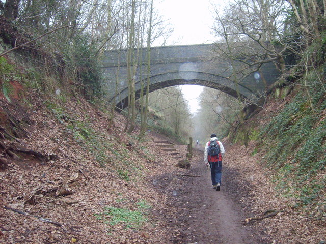
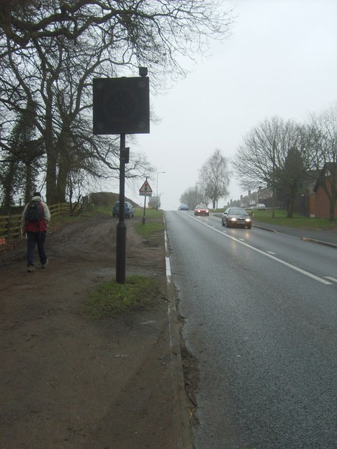
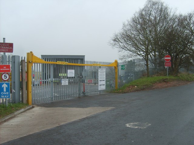
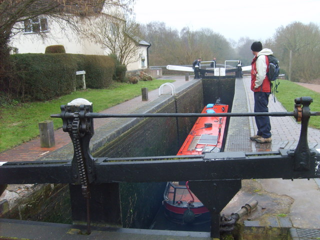
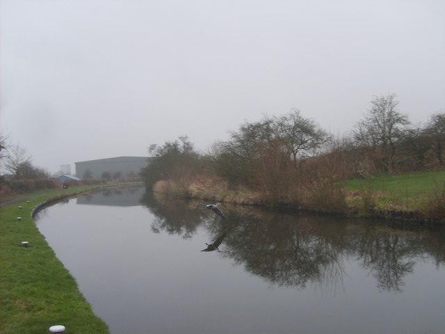
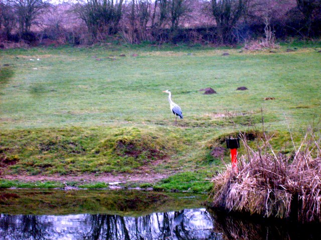
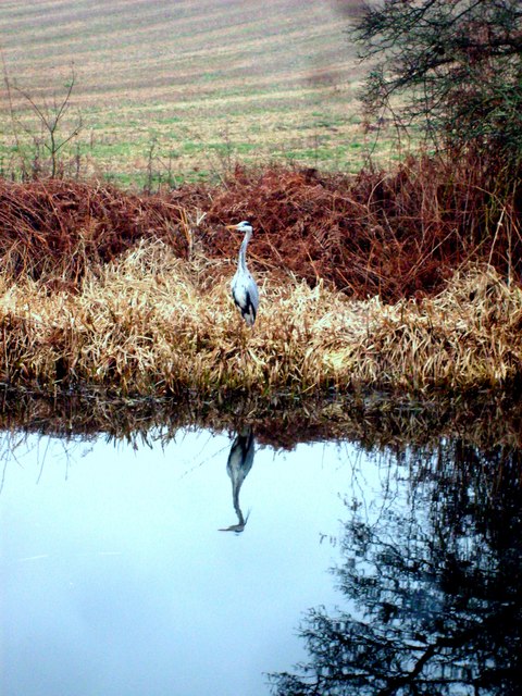
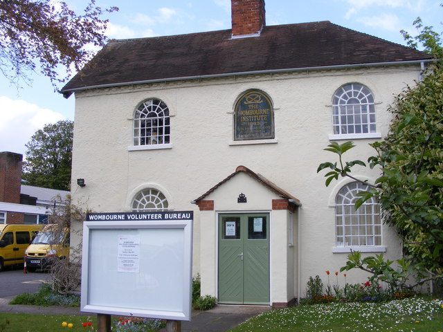
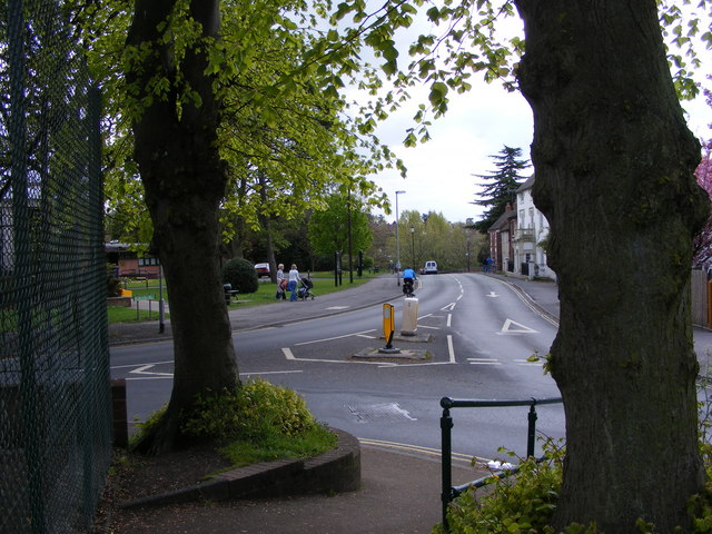
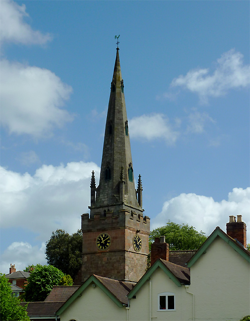
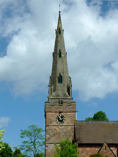
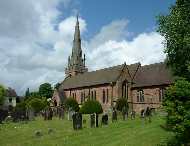
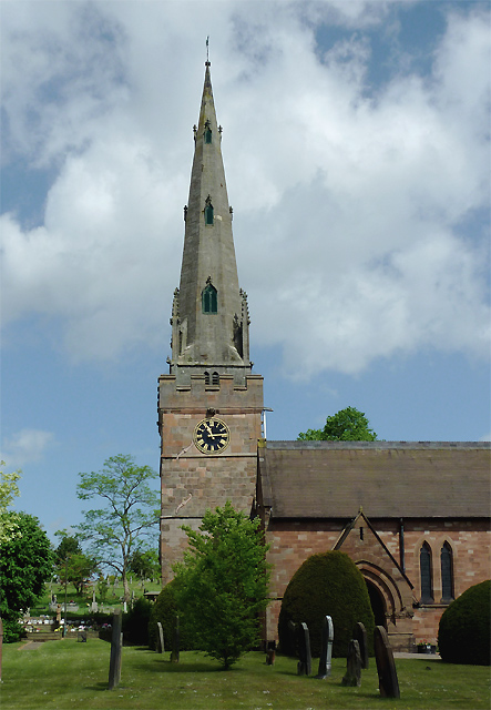
Brickbridge Images

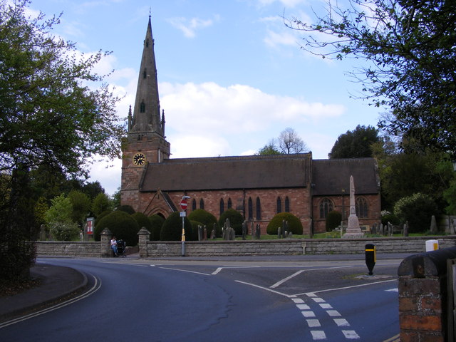
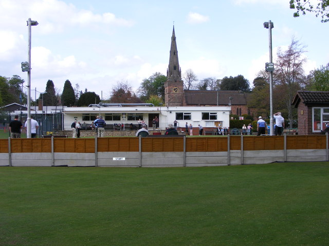
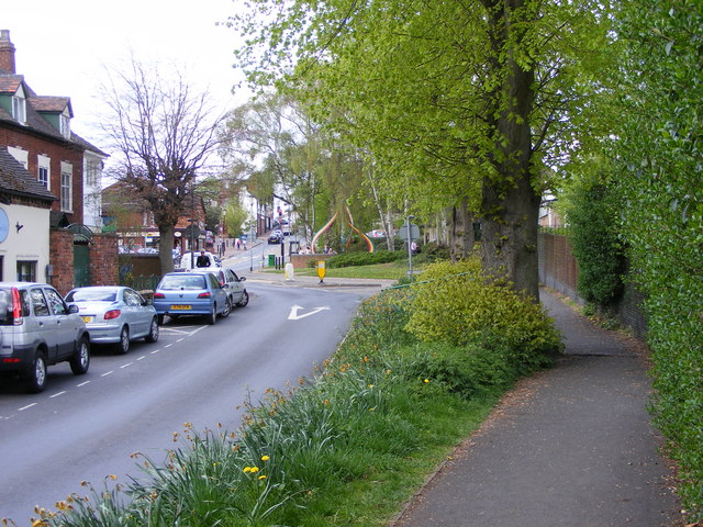
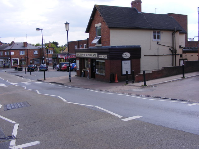
Images are sourced within 2km of 52.526883/-2.2044561 or Grid Reference SO8692. Thanks to Geograph Open Source API. All images are credited.

Railway Path The south staffordshire railway walk near Himley.
Railway Path
The south staffordshire railway walk near Himley.
Bridgnorth Road View The B4176 at Himley.
Bridgnorth Road View
The B4176 at Himley.
Botterham Lane Site The Wombourne waste recycling site.
Botterham Lane Site
The Wombourne waste recycling site.
Botterham Top Lock The narrowboat is lowered in the staircase of the Staffordshire and Worcestershire canal near Swindon.
Botterham Top Lock
The narrowboat is lowered in the staircase of the Staffordshire and Worcestershire canal near Swindon.
Flight of a Heron The bird flies across the Staffordshire and Worcestershire Canal near the Botterham Locks.
Flight of a Heron
The bird flies across the Staffordshire and Worcestershire Canal near the Botterham Locks.
Heron View The view alongside the Staffordshire and Worcestershire Canal at Swindon.
Heron View
The view alongside the Staffordshire and Worcestershire Canal at Swindon.
Heron Reflection The view alongside the Staffordshire and Worcestershire Canal at Swindon.
Heron Reflection
The view alongside the Staffordshire and Worcestershire Canal at Swindon.
Wombourne Institute The 1863 Institute in Church Road stands next to St Benedict Church overlooking the Staffordshire Village Green.
Wombourne Institute
The 1863 Institute in Church Road stands next to St Benedict Church overlooking the Staffordshire Village Green.
Wombourne Church The St Benedict Biscop Church stands in Church Road overlooking the Village Green.
Wombourne Church
The St Benedict Biscop Church stands in Church Road overlooking the Village Green.
Green on the Green Wombourne Bowls Club stands on the Staffordshire Village Green, with St Benedict's Church in the background.
Green on the Green
Wombourne Bowls Club stands on the Staffordshire Village Green, with St Benedict's Church in the background.
Wombourne Path The view up Maypole Street alongside the Staffordshire Village Green.
Wombourne Path
The view up Maypole Street alongside the Staffordshire Village Green.
Wombourne Butchers The view of Boxley's of Wombourne in Windmill Bank near the Staffordshire Village Green.
Wombourne Butchers
The view of Boxley's of Wombourne in Windmill Bank near the Staffordshire Village Green.
Maypole and Street The view in Maypole Street Wombourne near the Staffordshire Village Green.
Maypole and Street
The view in Maypole Street Wombourne near the Staffordshire Village Green.
Wombourne View The view of Gravel Hill from the corner of the Staffordshire Village Green.
Wombourne View
The view of Gravel Hill from the corner of the Staffordshire Village Green.
The spire of St Benedict Biscop Church at Wombourne, Staffordshire In 1840 nearly all the then existing medieval church was demolished. The 14th century tower with its recessed stone spire was retained. The 1840 rebuild was itself taken down, and the present fine structure replaced it in 1867 - again retaining the original 14th century tower and spire.
The spire of St Benedict Biscop Church at Wombourne, Staffordshire
In 1840 nearly all the then existing medieval church was demolished. The 14th century tower with its recessed stone spire was retained. The 1840 rebuild was itself taken down, and the present fine structure replaced it in 1867 - again retaining the original 14th century tower and spire.
St Benedict Biscop Church in Wombourne, Staffordshire In 1840 nearly all the then existing medieval church was demolished. The 14th century tower with its recessed stone spire was retained. The 1840 rebuild was itself taken down, and the present fine structure replaced it in 1867 - again retaining the original 14th century tower and spire.
St Benedict Biscop Church in Wombourne, Staffordshire
In 1840 nearly all the then existing medieval church was demolished. The 14th century tower with its recessed stone spire was retained. The 1840 rebuild was itself taken down, and the present fine structure replaced it in 1867 - again retaining the original 14th century tower and spire.
St Benedict Biscop Church in Wombourne, Staffordshire In 1840 nearly all the then existing medieval church was demolished. The 14th century tower with its recessed stone spire was retained. The 1840 rebuild was itself taken down, and the present fine structure replaced it in 1867 - again retaining the original 14th century tower and spire.

<span class="nowrap"><a title="http://www.stbenedictbiscop.org.uk/" rel="nofollow ugc noopener" href="http://www.stbenedictbiscop.org.uk/">Link</a><img style="margin-left:2px;" alt="External link" title="External link - shift click to open in new window" src="https://s1.geograph.org.uk/img/external.png" width="10" height="10"/></span>
St Benedict Biscop Church in Wombourne, Staffordshire
In 1840 nearly all the then existing medieval church was demolished. The 14th century tower with its recessed stone spire was retained. The 1840 rebuild was itself taken down, and the present fine structure replaced it in 1867 - again retaining the original 14th century tower and spire. LinkExternal link
Show me another place!

Brickbridge is located at Grid Ref: SO8692 (Lat: 52.526883, Lng: -2.2044561)

Administrative County: Staffordshire

District: South Staffordshire

Police Authority: Staffordshire

What 3 Words

///vision.freed.studio. Near Wombourn, Staffordshire

Related Wikis

Wombourne High School

Wombourne High School (formerly Ounsdale High School) is a coeducational secondary school and sixth form located in Wombourne, Staffordshire, England....

Wombourne

Wombourne is a village and civil parish located in the district of South Staffordshire, in the county of Staffordshire, England. It is 4 miles (6 km) south...

Wom Brook

The Wom Brook is a stream in South Staffordshire, England. It flows through the large village of Wombourne, and has played an important part in its industrial...

Himley railway station

Himley was a station on the Wombourne Branch Line. Unlike other stops along the route, it was deemed worthy of full station status. It was opened by the...

Swindon, Staffordshire

Swindon is a village and civil parish located in the West Midlands. The nearest major town is Dudley, approximately five miles eastwards. It stands halfway...

Himley

Himley is a small village and civil parish in Staffordshire, England, 4 miles (6.4 km) west of Dudley and 5 mi (8.0 km) southwest of Wolverhampton. At...

Bratch

The Bratch is an area of Wombourne in South Staffordshire, England, noted for its industrial heritage and more recently as a way station for walkers, riders...

Wombourn railway station

Wombourn railway station was the main intermediate station on the Wombourne Branch Line, situated at the Bratch. It was opened by the Great Western Railway...

Nearby Amenities

Located within 500m of 52.526883,-2.2044561
Bus Stop
Longford Close
Bus: yes
Naptan AtcoCode: 3800C608500
Naptan Bearing: SE
Naptan CommonName: Longford Close
Naptan Indicator: Adj
Naptan Landmark: Longford Close
Naptan Street: Millfields Way
Naptan Verified: no
Public Transport: platform
Source: naptan_import
Lat/Long: 52.5292885/-2.2089095
Longford Close
Naptan AtcoCode: 3800C608501
Naptan Bearing: NW
Naptan BusStopType: CUS
Naptan CommonName: Longford Close
Naptan Indicator: Opp
Naptan Landmark: Longford Cl
Naptan Street: Millfields Wy
Naptan Verified: no
Source: naptan_import
Lat/Long: 52.5292523/-2.2089721
Bus Stop
Waterdale
Bus: yes
Naptan AtcoCode: 3800C610100
Naptan Bearing: SW
Naptan CommonName: Waterdale
Naptan Indicator: Opp
Naptan Landmark: Waterdale
Naptan Street: Brickbridge Lane
Naptan Verified: no
Public Transport: platform
Source: naptan_import
Lat/Long: 52.5268913/-2.2042936
Bus Stop
Waterdale
Bus: yes
Naptan AtcoCode: 3800C610101
Naptan Bearing: NE
Naptan CommonName: Waterdale
Naptan Indicator: Adj
Naptan Landmark: Waterdale
Naptan Street: Brickbridge Lane
Naptan Verified: no
Public Transport: platform
Source: naptan_import
Lat/Long: 52.5270484/-2.2041352
Bus Stop
Swinford Leys
Bus: yes
Naptan AtcoCode: 3800C612101
Naptan Bearing: W
Naptan CommonName: Swinford Leys
Naptan Indicator: Adj
Naptan Landmark: Swinford Leys
Naptan Street: Millfields Way
Naptan Verified: no
Public Transport: platform
Source: naptan_import
Lat/Long: 52.5282022/-2.2075184
Bus Stop
Marlburn Way
Bus: yes
Naptan AtcoCode: 3800C612801
Naptan Bearing: SE
Naptan CommonName: Marlburn Way
Naptan Indicator: Adj
Naptan Landmark: Marlburn Way
Naptan Street: Millfields Way
Naptan Verified: no
Public Transport: platform
Source: naptan_import
Lat/Long: 52.5311698/-2.2043205
Crane Hollow
Naptan AtcoCode: 3800C623001
Naptan Bearing: SW
Naptan BusStopType: CUS
Naptan CommonName: Crane Hollow
Naptan Indicator: Adj
Naptan Landmark: Crane Hollow
Naptan Street: Millfields Way
Naptan Verified: no
Source: naptan_import
Lat/Long: 52.529276/-2.2057991
Bus Stop
Crane Hollow
Bus: yes
Naptan AtcoCode: 3800C623002
Naptan Bearing: NE
Naptan CommonName: Crane Hollow
Naptan Indicator: Opp
Naptan Landmark: Crane Hollow
Naptan Street: Millfields Way
Naptan Verified: no
Public Transport: platform
Source: naptan_import
Lat/Long: 52.5293746/-2.2059469
Bus Stop
Brickbridge Lane
Bus: yes
Naptan AtcoCode: 3800C623301
Naptan Bearing: SE
Naptan CommonName: Brickbridge Lane
Naptan Indicator: Adj
Naptan Landmark: Brickbridge Lane
Naptan Street: Bridgenorth Road
Naptan Verified: no
Public Transport: platform
Source: naptan_import
Lat/Long: 52.5261413/-2.2037654
Bus Stop
Bridgnorth Avenue
Bus: yes
Naptan AtcoCode: 3800C623302
Naptan Bearing: NW
Naptan CommonName: Bridgenorth Avenue
Naptan Indicator: Opp
Naptan Landmark: Bridgenorth Av
Naptan Street: Bridgenorth Road
Naptan Verified: no
Public Transport: platform
Source: naptan_import
Lat/Long: 52.525113/-2.2009008
Bus Stop
Ambulance Station
Bus: yes
Naptan AtcoCode: 3800C623601
Naptan Bearing: SE
Naptan CommonName: Ambulance Station
Naptan Indicator: Adj
Naptan Landmark: Ambulance Station
Naptan Street: Giggety Lane
Naptan Verified: no
Public Transport: platform
Source: naptan_import
Lat/Long: 52.5302119/-2.2000101
Bus Stop
Ambulance Station
Bus: yes
Naptan AtcoCode: 3800C623602
Naptan Bearing: NW
Naptan CommonName: Ambulance Station
Naptan Indicator: Opp
Naptan Landmark: Ambulance Station
Naptan Street: Giggetty Ln
Naptan Verified: no
Public Transport: platform
Source: naptan_import
Lat/Long: 52.5298948/-2.1998584
Bus Stop
Van Diemans Road
Bus: yes
Naptan AtcoCode: 3800C624401
Naptan Bearing: SW
Naptan CommonName: Giggetty Lane
Naptan Indicator: Adj
Naptan Landmark: Giggetty Lane
Naptan Street: Brickbridge Lane
Naptan Verified: no
Public Transport: platform
Source: naptan_import
Lat/Long: 52.5289171/-2.2001074
Bus Stop
Van Diemans Road
Bus: yes
Naptan AtcoCode: 3800C624402
Naptan Bearing: NE
Naptan CommonName: Van Diemans Road
Naptan Indicator: Opp
Naptan Landmark: Van Diemans Rd
Naptan Street: Brickbridge Ln
Naptan Verified: no
Public Transport: platform
Source: naptan_import
Lat/Long: 52.5288615/-2.2005896
Power Historic: tower
Source: OS 1:25k
Lat/Long: 52.5245396/-2.1981788
Power: tower
Source: bing
Lat/Long: 52.5229041/-2.2032391
Power: tower
Source: bing
Lat/Long: 52.5231341/-2.2026917
Power: tower
Source: bing
Lat/Long: 52.525679/-2.205524
Power: tower
Source: bing
Lat/Long: 52.5258029/-2.2050923
Power: tower
Source: bing
Lat/Long: 52.5233076/-2.202317
Power: tower
Source: bing
Lat/Long: 52.5254839/-2.2063566
Power: tower
Source: bing
Lat/Long: 52.5281178/-2.2071532
Power: tower
Source: bing
Lat/Long: 52.5283061/-2.2059045
Power: tower
Source: bing
Lat/Long: 52.530909/-2.2072144
Power: tower
Source: bing
Lat/Long: 52.5284262/-2.2064274
Source: Bing; OpenData_Street_View
Lat/Long: 52.5278891/-2.2038179
Turning Circle
Source: bing
Lat/Long: 52.530626/-2.2031181
Turning Circle
Lat/Long: 52.5287426/-2.2111109
Turning Circle
Lat/Long: 52.5303212/-2.2084309
Atm
Fee: no
Operator: Sainsburys
Lat/Long: 52.5264379/-2.2078302
Shop: convenience
Lat/Long: 52.5279079/-2.2001305
Bench
Source: survey
Lat/Long: 52.5260716/-2.2060754
Crossing
Crossing: traffic_signals
Source: bing
Lat/Long: 52.5267558/-2.2063785
Crossing
Lat/Long: 52.5271089/-2.2086874
Traffic Signals
Crossing: traffic_signals
Source: bing
Lat/Long: 52.5270461/-2.208712
Traffic Signals
Source: bing
Lat/Long: 52.5271733/-2.2083029
Traffic Signals
Source: bing
Lat/Long: 52.5273626/-2.2089171
Man Made: flagpole
Source: survey
Lat/Long: 52.5254362/-2.2092605
Man Made: flagpole
Source: survey
Lat/Long: 52.5254721/-2.2092524
Fire Hydrant
Emergency: fire_hydrant
Fire Hydrant Type: underground
Source: survey
Lat/Long: 52.5246015/-2.2093812
Fire Hydrant
Emergency: fire_hydrant
Fire Hydrant Type: underground
Source: survey
Lat/Long: 52.5254101/-2.2092015
Post Box
Collection Times: Mo-Fr 08:00
Note: franked mail only
Ref: WV5 611
Royal Cypher: EIIR
Royal Cypher Wikidata: Q33102113
Lat/Long: 52.5255925/-2.2091813
Tactile Paving: yes
Lat/Long: 52.5261588/-2.2089145
Tactile Paving: yes
Lat/Long: 52.5261649/-2.2089842
Crossing
Crossing: unmarked
Lat/Long: 52.5261616/-2.2089413
Wiolverhampton Alloy Wheels
Shop: car_parts
Lat/Long: 52.525894/-2.2097164
Generator Method: photovoltaic
Generator Output Electricity: yes
Generator Source: solar
Generator Type: solar_photovoltaic_panel
Location: roof
Power: generator
Lat/Long: 52.5288688/-2.2064656
Generator Method: photovoltaic
Generator Output Electricity: yes
Generator Source: solar
Generator Type: solar_photovoltaic_panel
Location: roof
Power: generator
Lat/Long: 52.5299996/-2.2047973
Generator Method: photovoltaic
Generator Output Electricity: yes
Generator Source: solar
Generator Type: solar_photovoltaic_panel
Location: roof
Power: generator
Lat/Long: 52.5286909/-2.2001034
Man Made: street_cabinet
Lat/Long: 52.5264534/-2.1996551
The data included in this document is from www.openstreetmap.org. The data is made available under ODbL.

Have you been to Brickbridge?

Leave your review of Brickbridge below (or comments, questions and feedback).