Botesdale Green
Settlement in Suffolk Mid Suffolk
England
Botesdale Green
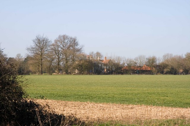
Botesdale Green is a charming village located in the county of Suffolk, England. Situated in the picturesque countryside, it offers residents and visitors a peaceful and idyllic setting. The village is part of the larger parish of Redgrave and Botesdale, and it lies approximately nine miles northeast of the town of Diss.
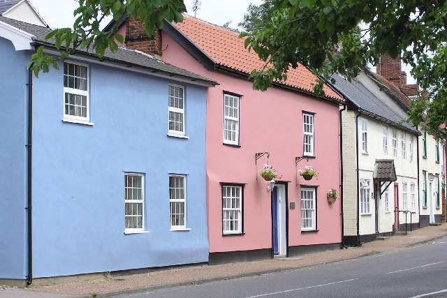
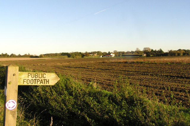
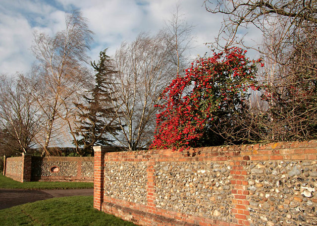
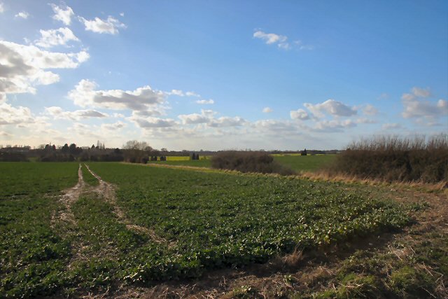
Botesdale Green is known for its quaint and traditional English charm. The village is characterized by its rows of attractive cottages, many of which date back several centuries, giving it a timeless feel. The surrounding countryside is predominantly agricultural, with fields of crops and grazing livestock, adding to the village's rural appeal.
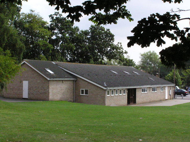
Despite its small size, Botesdale Green has a close-knit community. The village features a range of amenities, including a local pub, a village hall, and a primary school, which serves the needs of the residents. The village is also home to a cricket club, providing a popular pastime for sports enthusiasts.
Surrounded by beautiful countryside, Botesdale Green offers plenty of opportunities for outdoor activities. The area boasts several walking and cycling routes, allowing visitors to explore the scenic landscapes and enjoy the fresh air. Additionally, the village is within close proximity to the renowned Thetford Forest Park, offering a range of recreational activities such as hiking, bike trails, and picnicking.
Botesdale Green provides an ideal escape from the hustle and bustle of city life. Its tranquil surroundings, sense of community, and access to the beautiful Suffolk countryside make it an attractive place to live or visit.
If you have any feedback on the listing, please let us know in the comments section below.
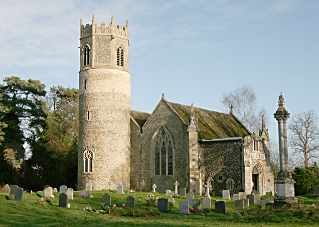
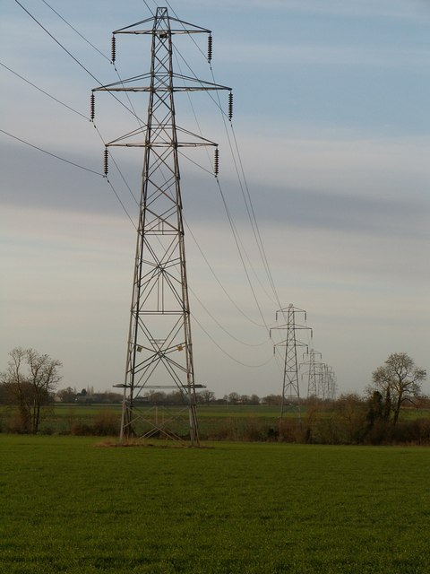
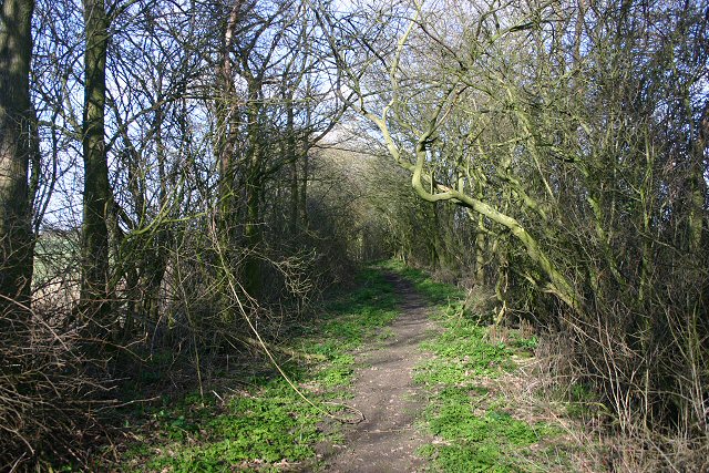
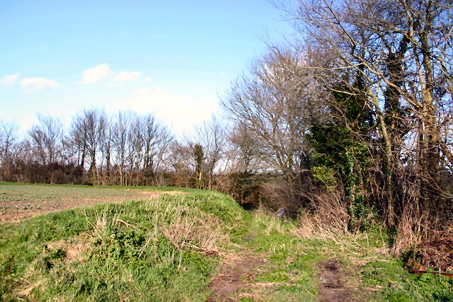
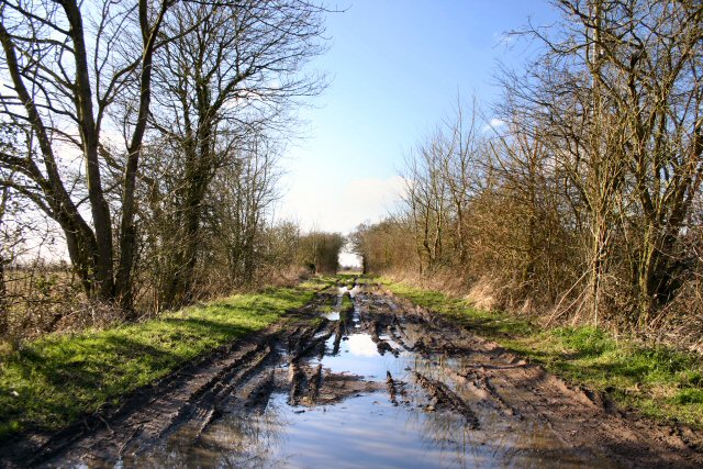
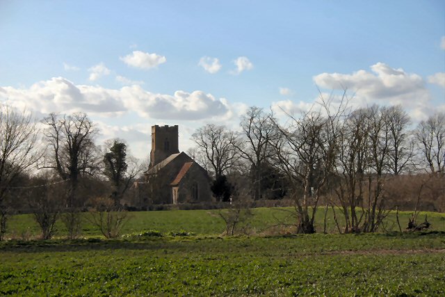
Botesdale Green Images
Images are sourced within 2km of 52.328686/1.0141318 or Grid Reference TM0574. Thanks to Geograph Open Source API. All images are credited.

Botesdale Green is located at Grid Ref: TM0574 (Lat: 52.328686, Lng: 1.0141318)
Administrative County: Suffolk
District: Mid Suffolk
Police Authority: Suffolk
What 3 Words
///dumps.rags.leathers. Near Botesdale, Suffolk
Nearby Locations
Related Wikis

Botesdale
Botesdale is a village and civil parish in the Mid Suffolk district of the English county of Suffolk. The village is about 6 miles (10 km) south west of...
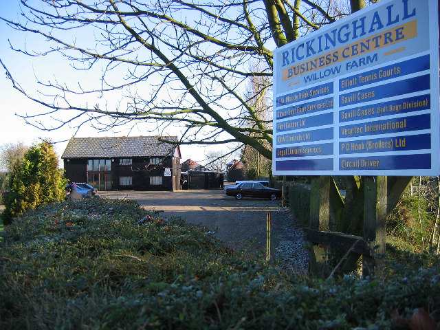
Rickinghall Superior
Rickinghall Superior is a civil parish in the Mid Suffolk district of Suffolk, England. It covers the eastern part of the village of Rickinghall, and...

Rickinghall
Rickinghall is a village in the Mid Suffolk district of Suffolk, England. The village is split between two parishes, Rickinghall Inferior and Rickinghall...
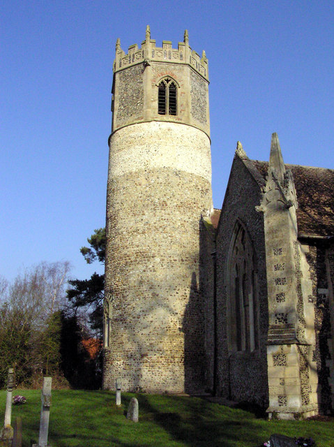
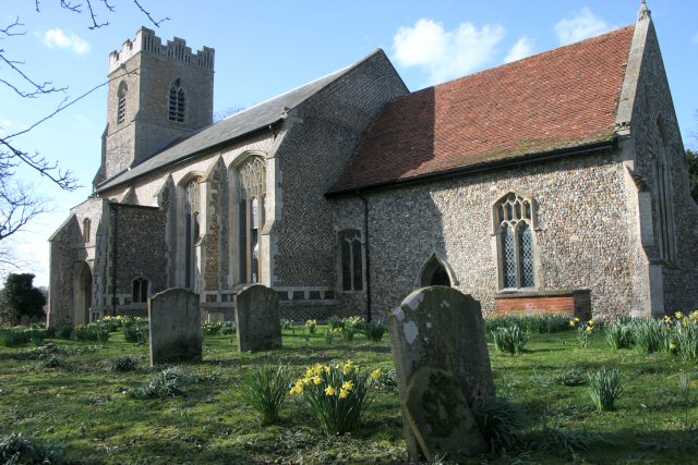
St Mary's Church, Rickinghall Superior
St Mary's Church is a redundant Anglican church in the civil parish of Rickinghall Superior, in the village of Rickinghall, Suffolk, England. It is recorded...
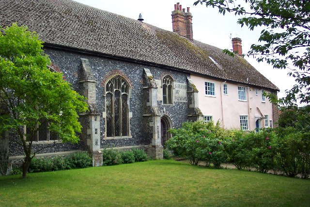
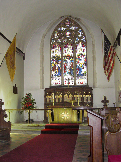
St Botolph's Chapel, Botesdale
St Botolph's Chapel is located in Botesdale, Suffolk. Built as a chapel of ease for the parish church of St Mary's Church, Redgrave, it now serves as the...
A143 road
The A143 is a road that runs from the Gorleston-on-Sea area of Great Yarmouth, in Norfolk to Haverhill in Suffolk. For much of the route (between Gorleston...

Westhall Wood and Meadow
Westhall Wood and Meadow is a 43.1-hectare (107-acre) biological Site of Special Scientific Interest south of Rickinghall in Suffolk.The wood is ancient...

Burgate Wood
Burgate Wood is a 29.9-hectare (74-acre) biological Site of Special Scientific Interest in Suffolk. The site includes a medieval ringwork which is a Scheduled...
Nearby Amenities
Located within 500m of 52.328686,1.0141318Have you been to Botesdale Green?
Leave your review of Botesdale Green below (or comments, questions and feedback).