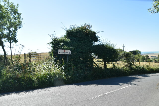
Botolph's Bridge

Settlement in Kent Shepway

England

Botolph's Bridge

Kestrel Drive Planning permission has been approved, with conditions, by Folkestone and Hythe District Council under application number Y06/1079/SH for “outline application for mixed use development comprising (1050 dwellings); employment development (use class B1, 15,000 sq m); local centre (500 sq. metres use classes A1/A2, 500 sq metres use classes A3/A4/A5); community centre/community facilities (1,000 sq metres use class D1); public open space (8.5 hectares); structural open space (10.3 hectares); retention and alteration of water bodies (retained area 15.5 hectares); provision of two new access points to Dymchurch Road; and site restoration including raising of land levels”.

The road is part of the Martello Lakes development.
Kestrel Drive Credit: John Baker

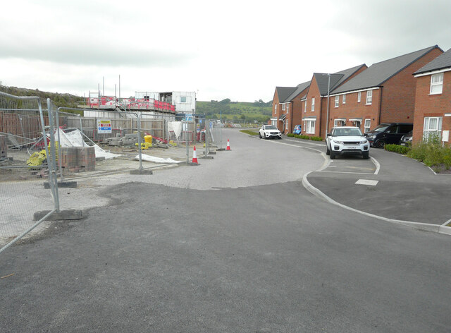
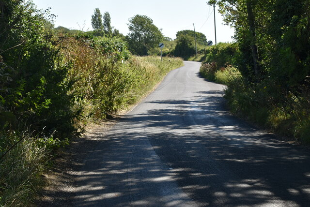
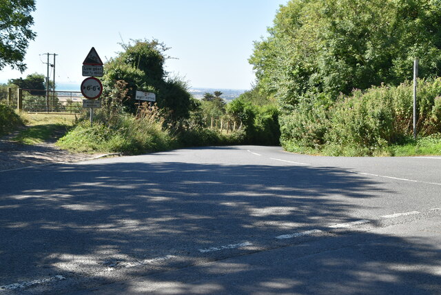
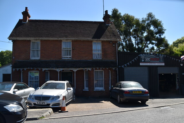
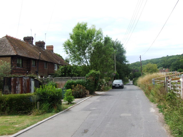
Botolph's Bridge is a small village located in the county of Kent, England. Situated in the southeastern part of the country, it falls within the administrative district of Canterbury. The village is home to a modest population and is known for its picturesque surroundings and historical charm.

The name Botolph's Bridge derives from the presence of a bridge that spans the nearby river. The bridge, originally built in the 13th century, has undergone several renovations over time and now serves as a crucial connection point for local residents and visitors alike.

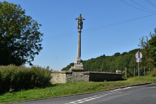
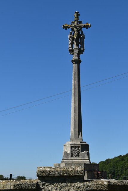
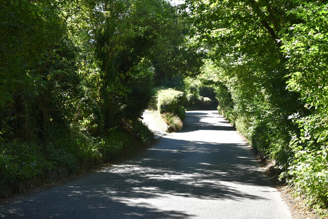
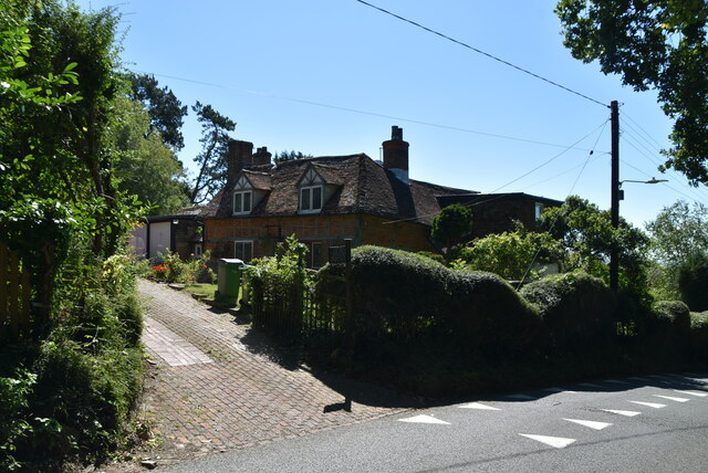
The village itself is characterized by its traditional English architecture, with quaint cottages and historic buildings lining the streets. The village green, a central gathering place, is adorned with beautiful flower beds and offers a peaceful spot for relaxation.

In terms of amenities, Botolph's Bridge boasts a few local shops and services, catering to the needs of the community. The village is also home to a charming local pub, providing a welcoming atmosphere for residents and visitors to enjoy a drink or a meal.

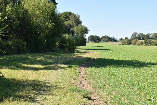
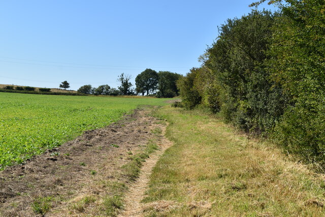
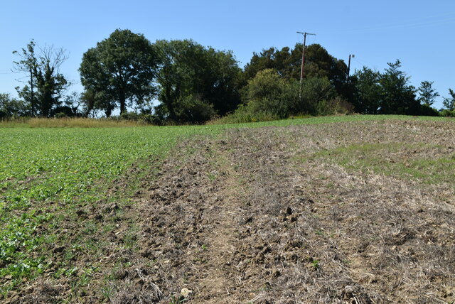
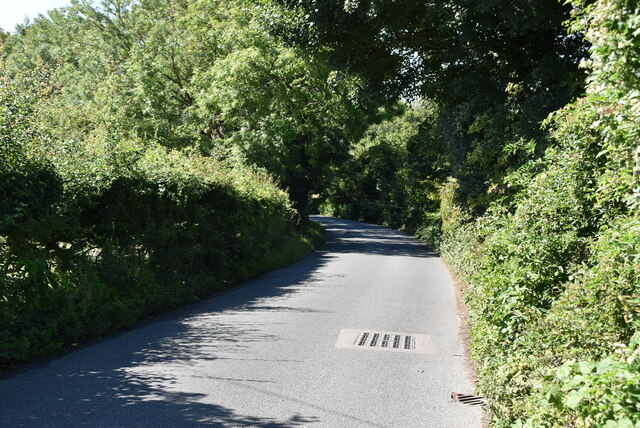
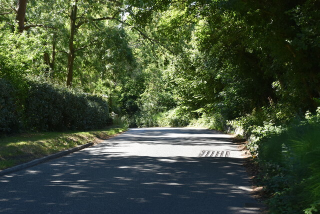
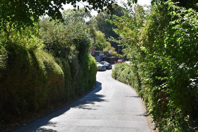
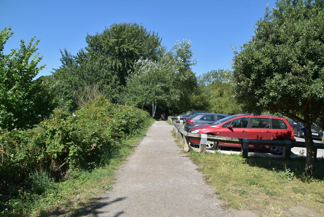
Surrounded by lush green fields and rolling hills, Botolph's Bridge offers ample opportunities for outdoor activities. The countryside is ideal for peaceful walks, bike rides, and picnics, making it a popular destination for nature enthusiasts.

Overall, Botolph's Bridge is a quiet and idyllic village in Kent, offering a glimpse into the quintessential English countryside. Its historical charm, coupled with its picturesque surroundings, makes it an appealing location for both residents and tourists seeking a tranquil escape.

If you have any feedback on the listing, please let us know in the comments section below.

Botolph's Bridge Images

Images are sourced within 2km of 51.061109/1.024998 or Grid Reference TR1233. Thanks to Geograph Open Source API. All images are credited.

Kestrel Drive Planning permission has been approved, with conditions, by Folkestone and Hythe District Council under application number Y06/1079/SH for “outline application for mixed use development comprising (1050 dwellings); employment development (use class B1, 15,000 sq m); local centre (500 sq. metres use classes A1/A2, 500 sq metres use classes A3/A4/A5); community centre/community facilities (1,000 sq metres use class D1); public open space (8.5 hectares); structural open space (10.3 hectares); retention and alteration of water bodies (retained area 15.5 hectares); provision of two new access points to Dymchurch Road; and site restoration including raising of land levels”.

The road is part of the Martello Lakes development.
Kestrel Drive
Planning permission has been approved, with conditions, by Folkestone and Hythe District Council under application number Y06/1079/SH for “outline application for mixed use development comprising (1050 dwellings); employment development (use class B1, 15,000 sq m); local centre (500 sq. metres use classes A1/A2, 500 sq metres use classes A3/A4/A5); community centre/community facilities (1,000 sq metres use class D1); public open space (8.5 hectares); structural open space (10.3 hectares); retention and alteration of water bodies (retained area 15.5 hectares); provision of two new access points to Dymchurch Road; and site restoration including raising of land levels”. The road is part of the Martello Lakes development.
Footpath along field boundary
Footpath crossing field
Aldington Rd
Aldington Rd
Road junction, Shepway Cross
Shepway Cross The Shepway Cross was paid for and unveiled on 4th August 1923 by Earl Beauchamp KG, the then Lord Warden of the Cinque Ports upon ground donated by the then owner of Lympne Castle.   
Most people seem to think that this monument exists merely to mark the spot where traditionally the Lord Warden of the Cinque Ports held his Court for Shepway. It is invariably referred to as the “Shepway Cross” by those who are ignorant of its real purpose. Its true title should be the Cinque Ports War Memorial. Whilst it does reside on a spot traditionally used by the Cinque Ports Court, its purpose was to commemorate the great deeds of the men of the Cinque Ports in all British conflicts. 
Grade II listed. <span class="nowrap"><a title="http://www.britishlistedbuildings.co.uk/en-175705-shepway-cross-lympne-kent" rel="nofollow ugc noopener" href="http://www.britishlistedbuildings.co.uk/en-175705-shepway-cross-lympne-kent">Link</a><img style="margin-left:2px;" alt="External link" title="External link - shift click to open in new window" src="https://s1.geograph.org.uk/img/external.png" width="10" height="10"/></span>
Shepway Cross
The Shepway Cross was paid for and unveiled on 4th August 1923 by Earl Beauchamp KG, the then Lord Warden of the Cinque Ports upon ground donated by the then owner of Lympne Castle. Most people seem to think that this monument exists merely to mark the spot where traditionally the Lord Warden of the Cinque Ports held his Court for Shepway. It is invariably referred to as the “Shepway Cross” by those who are ignorant of its real purpose. Its true title should be the Cinque Ports War Memorial. Whilst it does reside on a spot traditionally used by the Cinque Ports Court, its purpose was to commemorate the great deeds of the men of the Cinque Ports in all British conflicts. Grade II listed. LinkExternal link
Entering West Hythe West Hythe is a hamlet near Palmarsh, and a few miles west of the cinque port town of Hythe. It lies south of the Royal Military Canal.
Wikipedia: <span class="nowrap"><a title="https://en.wikipedia.org/wiki/West_Hythe" rel="nofollow ugc noopener" href="https://en.wikipedia.org/wiki/West_Hythe">Link</a><img style="margin-left:2px;" alt="External link" title="External link - shift click to open in new window" src="https://s1.geograph.org.uk/img/external.png" width="10" height="10"/></span>
Entering West Hythe
West Hythe is a hamlet near Palmarsh, and a few miles west of the cinque port town of Hythe. It lies south of the Royal Military Canal. Wikipedia: LinkExternal link
Lympne Hill
Lympne Hill
Lympne Hill
Lympne Hill
Lympne Hill
Lympne Hill
Old Manor West Hythe is a hamlet near Palmarsh, and a few miles west of the cinque port town of Hythe. It lies south of the Royal Military Canal.
Wikipedia: <span class="nowrap"><a title="https://en.wikipedia.org/wiki/West_Hythe" rel="nofollow ugc noopener" href="https://en.wikipedia.org/wiki/West_Hythe">Link</a><img style="margin-left:2px;" alt="External link" title="External link - shift click to open in new window" src="https://s1.geograph.org.uk/img/external.png" width="10" height="10"/></span>
Old Manor
West Hythe is a hamlet near Palmarsh, and a few miles west of the cinque port town of Hythe. It lies south of the Royal Military Canal. Wikipedia: LinkExternal link
Lympne Hill
Lympne Hill
Studfall West Hythe is a hamlet near Palmarsh, and a few miles west of the cinque port town of Hythe. It lies south of the Royal Military Canal.
Wikipedia: <span class="nowrap"><a title="https://en.wikipedia.org/wiki/West_Hythe" rel="nofollow ugc noopener" href="https://en.wikipedia.org/wiki/West_Hythe">Link</a><img style="margin-left:2px;" alt="External link" title="External link - shift click to open in new window" src="https://s1.geograph.org.uk/img/external.png" width="10" height="10"/></span>
Studfall
West Hythe is a hamlet near Palmarsh, and a few miles west of the cinque port town of Hythe. It lies south of the Royal Military Canal. Wikipedia: LinkExternal link
Brooklands West Hythe is a hamlet near Palmarsh, and a few miles west of the cinque port town of Hythe. It lies south of the Royal Military Canal.
Wikipedia: <span class="nowrap"><a title="https://en.wikipedia.org/wiki/West_Hythe" rel="nofollow ugc noopener" href="https://en.wikipedia.org/wiki/West_Hythe">Link</a><img style="margin-left:2px;" alt="External link" title="External link - shift click to open in new window" src="https://s1.geograph.org.uk/img/external.png" width="10" height="10"/></span>
Brooklands
West Hythe is a hamlet near Palmarsh, and a few miles west of the cinque port town of Hythe. It lies south of the Royal Military Canal. Wikipedia: LinkExternal link
Royal Military Canal Path The Royal Military Canal Path (27 miles) mainly follows a canal-side path, which fringes the northern edge of Romney Marsh and which was built in the early 19th century as a defence against a possible invasion by Napoleon. The Canal is a Scheduled Ancient Monument and a SSSI. In addition to its historical and archaeological interest it is a valuable wetland habitat for a variety of species of flora and fauna. Links are made with the Saxon Shore Way at Appledore and West Hythe providing options for a circular route between these two places.
Royal Military Canal Path
The Royal Military Canal Path (27 miles) mainly follows a canal-side path, which fringes the northern edge of Romney Marsh and which was built in the early 19th century as a defence against a possible invasion by Napoleon. The Canal is a Scheduled Ancient Monument and a SSSI. In addition to its historical and archaeological interest it is a valuable wetland habitat for a variety of species of flora and fauna. Links are made with the Saxon Shore Way at Appledore and West Hythe providing options for a circular route between these two places.
Show me another place!

Botolph's Bridge is located at Grid Ref: TR1233 (Lat: 51.061109, Lng: 1.024998)

Administrative County: Kent

District: Shepway

Police Authority: Kent

What 3 Words

///cyclones.orbit.connector. Near Lympne, Kent

Nearby Locations

Botolph's Bridge

Related Wikis

Botolph's Bridge Halt railway station

Botolphs Bridge Halt railway station was a little-used station on the Romney, Hythe and Dymchurch Railway in Kent, England. Botolphs Bridge or Botolph...

Portus Lemanis

Portus Lemanis, also known as Lemanae, was the Latin name of a Roman Saxon Shore fort, settlement and port in southern Kent. The modern village of Lympne...

West Hythe

West Hythe is a hamlet and former civil parish, now in the parish of Hythe, in the Folkestone and Hythe district, in Kent, England, near Palmarsh and a...

Lympne Escarpment

Lympne Escarpment is a 140.2-hectare (346-acre) biological Site of Special Scientific Interest west of Hythe in Kent. Part of it is the remains of a Saxon...
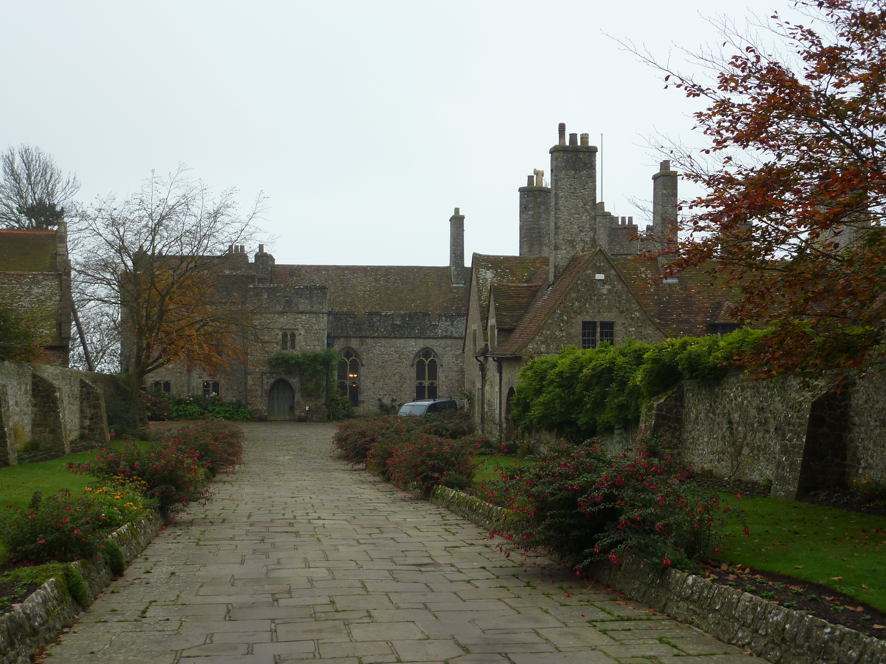
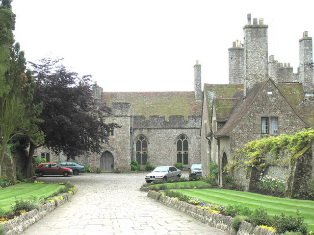
Lympne Castle

Lympne Castle is a 18,862 square feet (1,752.3 m2) medieval castle located in the village of Lympne, Kent, above Romney Marsh. After the Reformation, the...
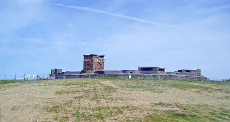
Dymchurch Redoubt

Dymchurch Grand Redoubt is a fortification at Palmarsh on the coast of Kent in England, built during the Napoleonic War as part of a large defensive scheme...

Palmarsh

Palmarsh is a community (OS grid reference TR1333) in Folkestone and Hythe district, in the County of Kent, England. In origin it was a hamlet on the edge...

Lympne

Lympne (), formerly also Lymne, is a village on the former shallow-gradient sea cliffs above the expansive agricultural plain of Romney Marsh in Kent....

Nearby Amenities

Located within 500m of 51.061109,1.024998
Pub
Botolphs Bridge Inn
Addr City: West Hythe
Addr Postcode: CT21 4NL
Addr Street: Botolphs Bridge Road
Fhrs Id: 289355
Source Addr: FHRS Open Data
Lat/Long: 51.0611196/1.0250545
Post Box
Post Box Design: hovis
Post Box Mounting: wall
Post Box Type: lamp
Postal Code: CT21
Ref: CT21 147
Royal Cypher: VR
Royal Cypher Wikidata: Q33102356
Source: survey
Lat/Long: 51.0615292/1.0257545
Bus Stop
Botolph's Bridge Inn
Flag: no
Naptan AtcoCode: 240099337
Naptan Bearing: SW
Naptan BusStopType: CUS
Naptan CommonName: Botolph's Bridge Inn
Naptan Indicator: adj
Naptan Landmark: adj Public House
Naptan NaptanCode: kntgpdwm
Naptan Street: Lower Wall Road
Naptan Verified: no
Public Transport: platform
Source: naptan_import
Lat/Long: 51.0611583/1.0249365
Bus Stop
Botolph's Bridge Inn
Flag: no
Naptan AtcoCode: 240099339
Naptan Bearing: NE
Naptan BusStopType: CUS
Naptan CommonName: Botolph's Bridge Inn
Naptan Indicator: opp
Naptan Landmark: Public House
Naptan NaptanCode: kntgpdwj
Naptan Street: Lower Wall Road
Naptan Verified: no
Public Transport: platform
Source: naptan_import
Lat/Long: 51.0612204/1.0248683
Traffic Calming: hump
Lat/Long: 51.06515/1.0276728
Generator Method: photovoltaic
Generator Output Electricity: yes
Generator Source: solar
Generator Type: solar_photovoltaic_panel
Location: roof
Power: generator
Lat/Long: 51.0649292/1.0268918
Generator Method: photovoltaic
Generator Output Electricity: yes
Generator Source: solar
Generator Type: solar_photovoltaic_panel
Location: roof
Power: generator
Lat/Long: 51.0644826/1.0251805
Camera Direction: 45
Camera Type: fixed
Height: 3
Man Made: surveillance
Surveillance: public
Surveillance Type: camera
Lat/Long: 51.0604907/1.0237154
The data included in this document is from www.openstreetmap.org. The data is made available under ODbL.

Have you been to Botolph's Bridge?

Leave your review of Botolph's Bridge below (or comments, questions and feedback).