Botesdale Green

Downs, Moorland in Suffolk Mid Suffolk

England

Botesdale Green

St Botolph's church, Botesdale, Suffolk A semi-detached church! It was built in the late 15th century a chantry chapel and when chantry chapels were abolished in the 1540s it became a school and a house was added alongside for the schoolmaster.

In 1884, it was restored to use as a church, still as a chapel of ease to Redgrave.
St Botolph's church, Botesdale, Suffolk Credit: Ron Strutt

Botesdale Green is a picturesque village located in Suffolk, England. Situated in the heart of the county, it is surrounded by the rural beauty of the Downs and Moorland areas. The village is known for its idyllic scenery and tranquil atmosphere, making it a popular destination for nature lovers and those seeking a peaceful retreat.

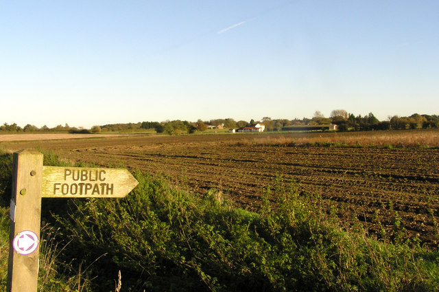
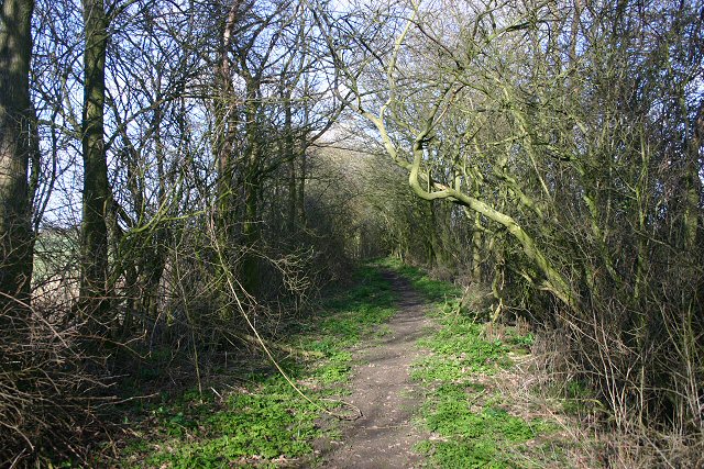
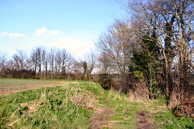
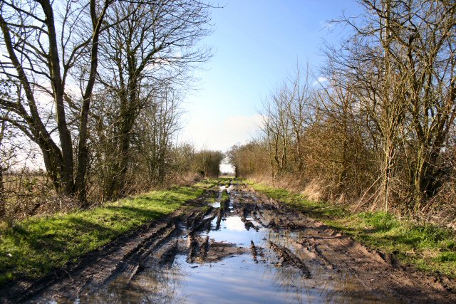
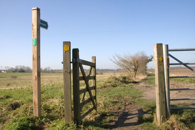
The Downs in Botesdale Green offer stunning views of the rolling hills and expansive meadows. Visitors can enjoy long walks or bike rides along the numerous footpaths and bridleways that crisscross the area. The Downs are also home to a variety of wildlife, including rabbits, hares, and a wide range of bird species, making it a haven for birdwatchers and nature enthusiasts.

Moorland, on the other hand, features heathland and peat bogs, providing a unique and diverse landscape. This area is characterized by its heather-covered hills, scattered with gorse bushes and bracken. Moorland is an ideal spot for exploring and discovering rare plants and flowers that thrive in the acidic soil.

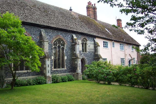
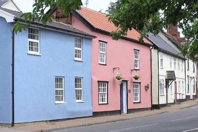
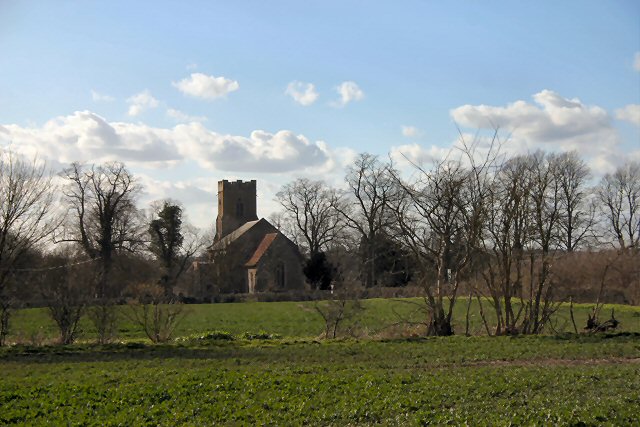
The village of Botesdale Green itself is small but charming, with a close-knit community. It boasts a few essential amenities, including a local pub, a post office, and a small grocery store. The village is known for its traditional architecture, with many historic buildings and thatched cottages adding to its quaint and timeless appeal.

Overall, Botesdale Green, Suffolk offers a peaceful and scenic countryside experience. Whether exploring the Downs, wandering through the Moorland, or simply enjoying the village's charm, visitors are sure to find solace and beauty in this hidden gem of Suffolk.

If you have any feedback on the listing, please let us know in the comments section below.

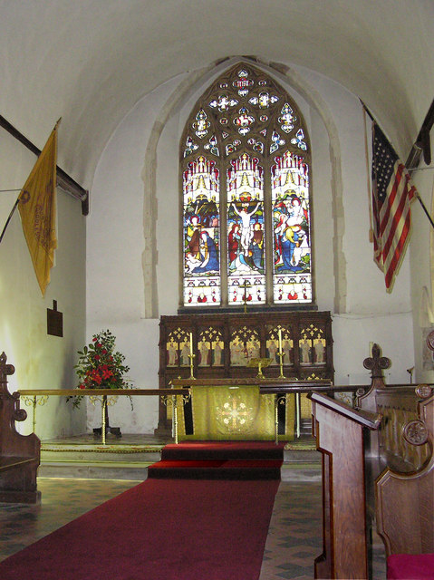
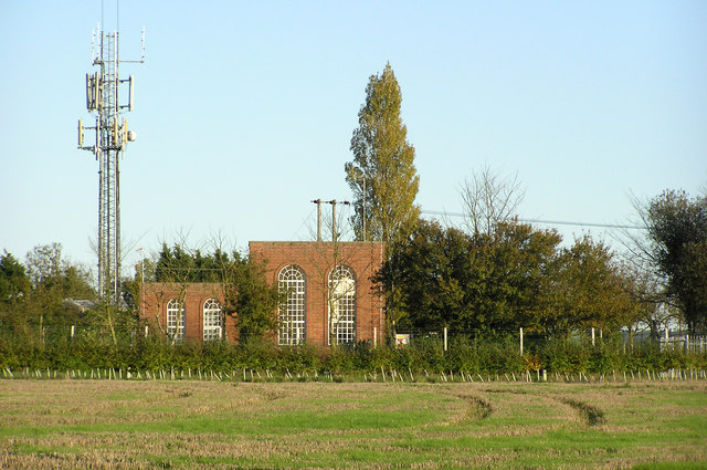
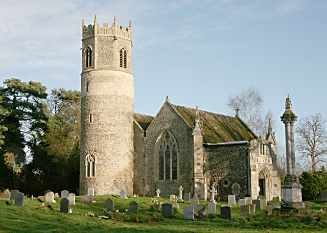
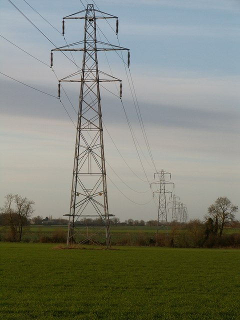
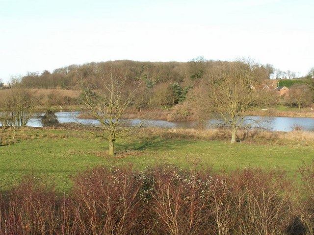
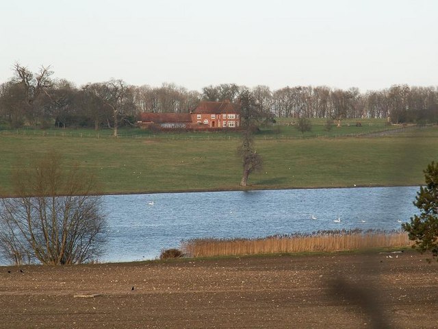
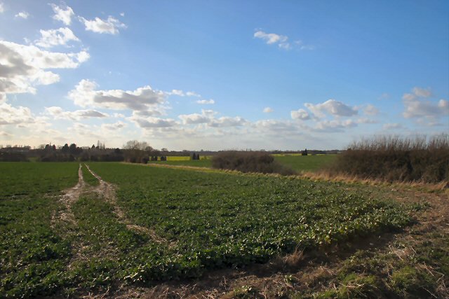
Botesdale Green Images

Images are sourced within 2km of 52.333796/1.0182817 or Grid Reference TM0574. Thanks to Geograph Open Source API. All images are credited.

St Botolph's church, Botesdale, Suffolk A semi-detached church! It was built in the late 15th century a chantry chapel and when chantry chapels were abolished in the 1540s it became a school and a house was added alongside for the schoolmaster.

In 1884, it was restored to use as a church, still as a chapel of ease to Redgrave.
St Botolph's church, Botesdale, Suffolk
A semi-detached church! It was built in the late 15th century a chantry chapel and when chantry chapels were abolished in the 1540s it became a school and a house was added alongside for the schoolmaster. In 1884, it was restored to use as a church, still as a chapel of ease to Redgrave.
The Street, Rickinghall, Suffolk Timber framed cottages typical of our village street, which is much better with the building of the bypass.
The Street, Rickinghall, Suffolk
Timber framed cottages typical of our village street, which is much better with the building of the bypass.
St Mary's Church, Rickinghall Inferior, Suffolk Parishioners have recently recorded the inscriptions of most of the headstones in the churchyard. The index is now available at <span class="nowrap"><a title="http://stmarysrickinghallinferior.onesuffolk.net/churchyard-survey/" rel="nofollow ugc noopener" href="http://stmarysrickinghallinferior.onesuffolk.net/churchyard-survey/">Link</a><img style="margin-left:2px;" alt="External link" title="External link - shift click to open in new window" src="https://s1.geograph.org.uk/img/external.png" width="10" height="10"/></span> <a href="https://www.geograph.org.uk/photo/301242">TM0375 : Rickinghall Inferior, St Mary's</a>
St Mary's Church, Rickinghall Inferior, Suffolk
Parishioners have recently recorded the inscriptions of most of the headstones in the churchyard. The index is now available at LinkExternal link TM0375 : Rickinghall Inferior, St Mary's
Rickinghall Village Hall, Suffolk The centre of our community, set in a four acre playing field. The hall is hired some 450 times a year and is used by all sections of the community, from RABBATS (Rickinghall & Botesdale Babies & Toddlers) to the Day Centre which offers a lunch and companionship for our older citizens. The playing field hosts two football pitches; an all weather floodlit sports area used for tennis, netball and five a side football; a skatepark and kiddies play area.  <span class="nowrap"><a title="http://rickinghallvh.onesuffolk.net/welcome-to-rickinghall-village-hall/" rel="nofollow ugc noopener" href="http://rickinghallvh.onesuffolk.net/welcome-to-rickinghall-village-hall/">Link</a><img style="margin-left:2px;" alt="External link" title="External link - shift click to open in new window" src="https://s1.geograph.org.uk/img/external.png" width="10" height="10"/></span>
Rickinghall Village Hall, Suffolk
The centre of our community, set in a four acre playing field. The hall is hired some 450 times a year and is used by all sections of the community, from RABBATS (Rickinghall & Botesdale Babies & Toddlers) to the Day Centre which offers a lunch and companionship for our older citizens. The playing field hosts two football pitches; an all weather floodlit sports area used for tennis, netball and five a side football; a skatepark and kiddies play area. LinkExternal link
St Mary's Church, Rickinghall Inferior, Suffolk Parishioners have recently recorded the inscriptions of most of the headstones in the churchyard. The index is now available at <span class="nowrap"><a title="http://stmarysrickinghallinferior.onesuffolk.net/churchyard-survey/" rel="nofollow ugc noopener" href="http://stmarysrickinghallinferior.onesuffolk.net/churchyard-survey/">Link</a><img style="margin-left:2px;" alt="External link" title="External link - shift click to open in new window" src="https://s1.geograph.org.uk/img/external.png" width="10" height="10"/></span> <a href="https://www.geograph.org.uk/photo/301242">TM0375 : Rickinghall Inferior, St Mary's</a>
St Mary's Church, Rickinghall Inferior, Suffolk
Parishioners have recently recorded the inscriptions of most of the headstones in the churchyard. The index is now available at LinkExternal link TM0375 : Rickinghall Inferior, St Mary's
Essex Water pumping station and mobile phone mast Essential services in our rural district. There is an electricity substation on the plot behind.
Essex Water pumping station and mobile phone mast
Essential services in our rural district. There is an electricity substation on the plot behind.
Potter's Farm, Rickinghall
Rickinghall Inferior, St Mary's The tall memorial commemorates Lt Richard Compton French Maul of the Buffs, who died in April 1874.
A view of the East end of the church can be seen here <a href="https://www.geograph.org.uk/photo/1645901">TM0375 : St Mary's Church, Rickinghall Inferior</a>
The full story can be found at <span class="nowrap"><a title="http://stmarysrickinghallinferior.onesuffolk.net/history-3/happiness-and-heartbreak/" rel="nofollow ugc noopener" href="http://stmarysrickinghallinferior.onesuffolk.net/history-3/happiness-and-heartbreak/">Link</a><img style="margin-left:2px;" alt="External link" title="External link - shift click to open in new window" src="https://s1.geograph.org.uk/img/external.png" width="10" height="10"/></span>
Rickinghall Inferior, St Mary's
The tall memorial commemorates Lt Richard Compton French Maul of the Buffs, who died in April 1874. A view of the East end of the church can be seen here TM0375 : St Mary's Church, Rickinghall Inferior The full story can be found at LinkExternal link
Pylons Many people regard electricity pylons only as an intrusion on the landscape, but over open arable land like this their boldness adds interest and depth to the view.
Pylons
Many people regard electricity pylons only as an intrusion on the landscape, but over open arable land like this their boldness adds interest and depth to the view.
New Waters New Waters is the smaller of two lakes between Wortham and Redgrave.
New Waters
New Waters is the smaller of two lakes between Wortham and Redgrave.
Redgrave Lake This photograph shows a small part of Redgrave Lake with Redgrave Park beyond. The lake stretches for over 1km in an S shape.  The grounds were laid out by Capability Brown in the 1760's.

During World War Two the estate was used as a U.S. Airforce hospital and a prisoner of war camp. Redgrave Hall was demolished in 1947.

To find out more visit: <span class="nowrap"><a title="http://myweb.tiscali.co.uk/redgravehistory/redgravepark.htm" rel="nofollow ugc noopener" href="http://myweb.tiscali.co.uk/redgravehistory/redgravepark.htm">Link</a><img style="margin-left:2px;" alt="External link" title="External link - shift click to open in new window" src="https://s1.geograph.org.uk/img/external.png" width="10" height="10"/></span>
Redgrave Lake
This photograph shows a small part of Redgrave Lake with Redgrave Park beyond. The lake stretches for over 1km in an S shape. The grounds were laid out by Capability Brown in the 1760's. During World War Two the estate was used as a U.S. Airforce hospital and a prisoner of war camp. Redgrave Hall was demolished in 1947. To find out more visit: LinkExternal link
Fields near Falcons Hall Farm Looking west from the B1113 across fields towards Falcons Hall Farm.
Fields near Falcons Hall Farm
Looking west from the B1113 across fields towards Falcons Hall Farm.
Bull Lane This footpath runs north-east between hedgerows from the B1113 towards Botesdale Green.
Bull Lane
This footpath runs north-east between hedgerows from the B1113 towards Botesdale Green.
Footpath to Rickinghall This path leads north-west from the minor road near Potter's Farm.
Footpath to Rickinghall
This path leads north-west from the minor road near Potter's Farm.
Muddy byway to Botesdale This byway leads north-eastwards from Botesdale Green towards Botesdale.
Muddy byway to Botesdale
This byway leads north-eastwards from Botesdale Green towards Botesdale.
St Mary's Church, Rickinghall Superior This church is no longer used for public worship and is in the care of the Churches Conservation Trust.
St Mary's Church, Rickinghall Superior
This church is no longer used for public worship and is in the care of the Churches Conservation Trust.
St Mary's Church, Rickinghall Superior The church is in the care of the Churches Conservation Trust. The church hosts bell ringers on alternate Saturday mornings and  at least one service is held every year.
Last year (2006) the Pentecost service was held here. The churchyard is still in use and is well maintained.
St Mary's Church, Rickinghall Superior
The church is in the care of the Churches Conservation Trust. The church hosts bell ringers on alternate Saturday mornings and at least one service is held every year. Last year (2006) the Pentecost service was held here. The churchyard is still in use and is well maintained.
Lizzie's Lane, Redgrave No one now knows who Lizzie was or what she did to get a path named after her. One can only imagine.

The lane is now a popular route for dog walkers and, contrary to appearances, it lies to the left of the hedge in the picture.
Lizzie's Lane, Redgrave
No one now knows who Lizzie was or what she did to get a path named after her. One can only imagine. The lane is now a popular route for dog walkers and, contrary to appearances, it lies to the left of the hedge in the picture.
Show me another place!

Botesdale Green is located at Grid Ref: TM0574 (Lat: 52.333796, Lng: 1.0182817)

Administrative County: Suffolk

District: Mid Suffolk

Police Authority: Suffolk

What 3 Words

///staples.timidly.blotchy. Near Botesdale, Suffolk

Related Wikis

Botesdale

Botesdale is a village and civil parish in the Mid Suffolk district of the English county of Suffolk. The village is about 6 miles (10 km) south west of...

Rickinghall

Rickinghall is a village in the Mid Suffolk district of Suffolk, England. The village is split between two parishes, Rickinghall Inferior and Rickinghall...

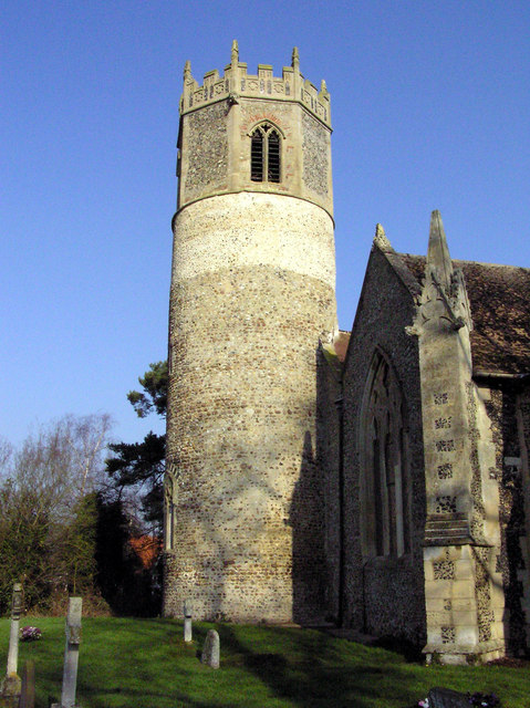
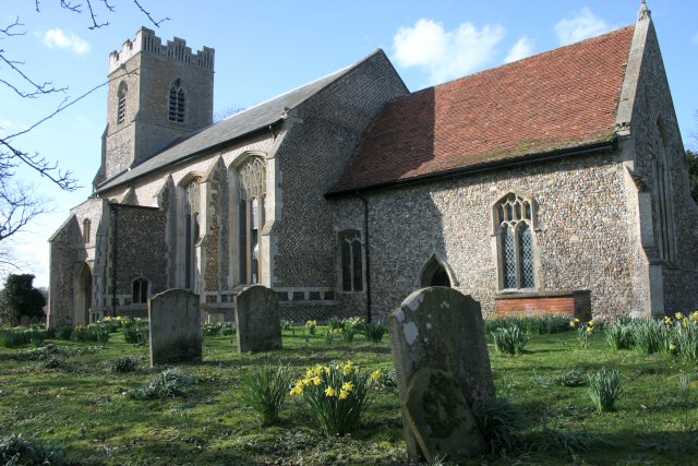
St Botolph's Chapel, Botesdale

St Botolph's Chapel is located in Botesdale, Suffolk. Built as a chapel of ease for the parish church of St Mary's Church, Redgrave, it now serves as the...

Rickinghall Superior

Rickinghall Superior is a civil parish in the Mid Suffolk district of Suffolk, England. It covers the eastern part of the village of Rickinghall, and...
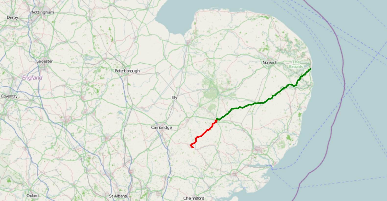
A143 road

The A143 is a road that runs from the Gorleston-on-Sea area of Great Yarmouth, in Norfolk to Haverhill in Suffolk. For much of the route (between Gorleston...

St Mary's Church, Rickinghall Superior

St Mary's Church is a redundant Anglican church in the civil parish of Rickinghall Superior, in the village of Rickinghall, Suffolk, England. It is recorded...

Burgate Wood

Burgate Wood is a 29.9-hectare (74-acre) biological Site of Special Scientific Interest in Suffolk. The site includes a medieval ringwork which is a Scheduled...

Burgate

Burgate is a small village and civil parish in the Mid Suffolk district of Suffolk, England, about 5 miles (8 km) south-west of Diss in Norfolk. The church...

Nearby Amenities

Located within 500m of 52.333796,1.0182817
Barrier: bollard
Bicycle: yes
Foot: yes
Horse: yes
Material: wood
Lat/Long: 52.3350408/1.0159119
The data included in this document is from www.openstreetmap.org. The data is made available under ODbL.

Have you been to Botesdale Green?

Leave your review of Botesdale Green below (or comments, questions and feedback).