Micklewood Green
Wood, Forest in Suffolk Mid Suffolk
England
Micklewood Green
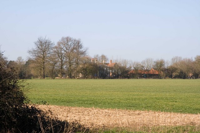
Micklewood Green is a picturesque wood located in Suffolk, England. Situated in the heart of the county, this forested area spans over a vast expanse and offers a tranquil and serene environment for nature enthusiasts and wildlife lovers alike.
Covering an area of approximately 100 acres, Micklewood Green is home to a diverse range of trees, including oak, beech, and birch. The wood boasts a dense canopy, creating a shaded and cool atmosphere, especially during the hot summer months. The forest floor is carpeted with a rich assortment of plants and wildflowers, adding vibrant colors and a delightful fragrance to the surroundings.
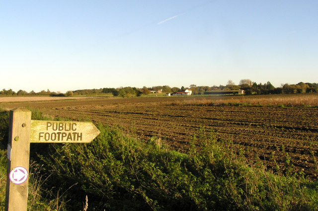
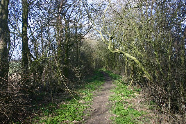
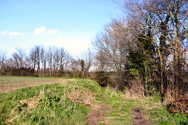
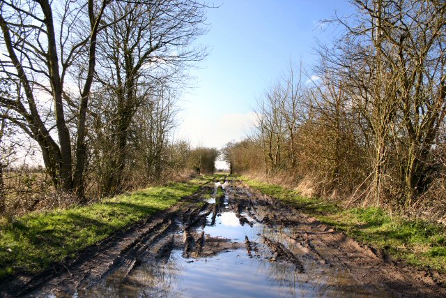
The wood is crisscrossed with a network of well-maintained footpaths, making it easily accessible for walkers, hikers, and families looking to explore the area. These paths meander through the forest, allowing visitors to immerse themselves in its natural beauty and discover the abundant wildlife that calls Micklewood Green home. Birdwatchers will delight in spotting various species, including woodpeckers, nuthatches, and tawny owls, while small mammals such as badgers, foxes, and squirrels can also be seen.
Micklewood Green is a popular destination for those seeking a peaceful retreat away from the hustle and bustle of city life. Its picturesque setting and tranquil ambiance make it an ideal location for relaxation, picnicking, or simply unwinding amidst nature.
If you have any feedback on the listing, please let us know in the comments section below.
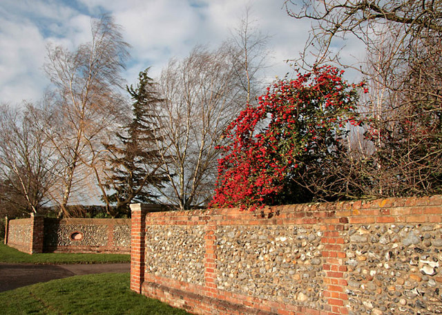
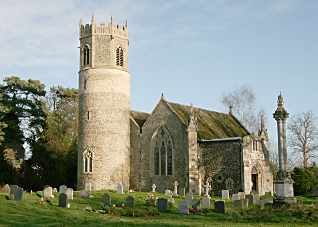
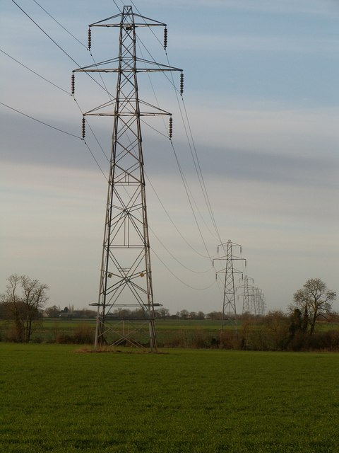
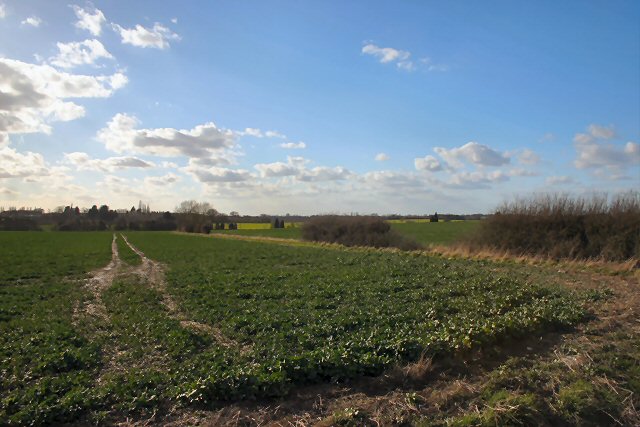
Micklewood Green Images
Images are sourced within 2km of 52.328125/1.0125083 or Grid Reference TM0574. Thanks to Geograph Open Source API. All images are credited.

Micklewood Green is located at Grid Ref: TM0574 (Lat: 52.328125, Lng: 1.0125083)
Administrative County: Suffolk
District: Mid Suffolk
Police Authority: Suffolk
What 3 Words
///selection.copiers.issues. Near Rickinghall, Suffolk
Nearby Locations
Related Wikis

Botesdale
Botesdale is a village and civil parish in the Mid Suffolk district of the English county of Suffolk. The village is about 6 miles (10 km) south west of...
Rickinghall Superior
Rickinghall Superior is a civil parish in the Mid Suffolk district of Suffolk, England. It covers the eastern part of the village of Rickinghall, and...

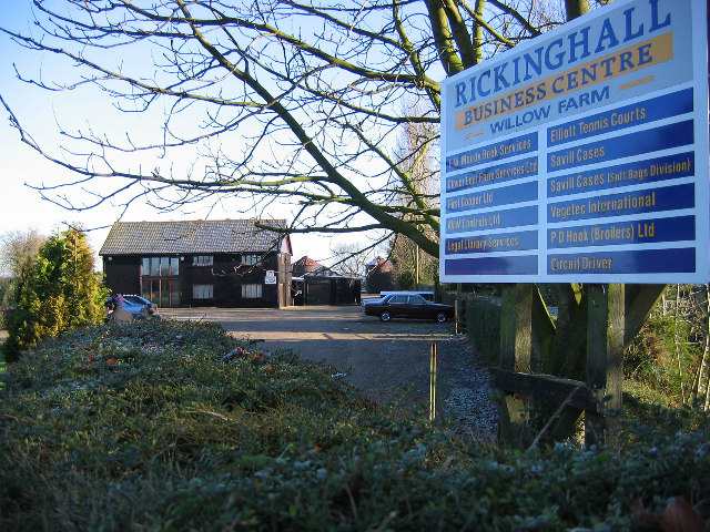
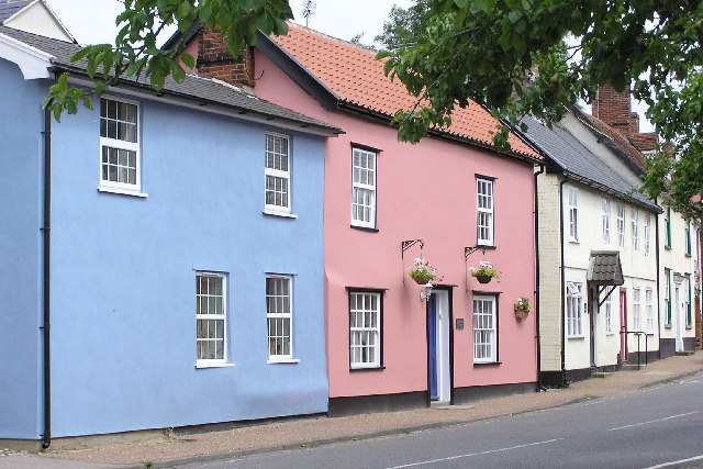
Rickinghall
Rickinghall is a village in the Mid Suffolk district of Suffolk, England. The village is split between two parishes, Rickinghall Inferior and Rickinghall...
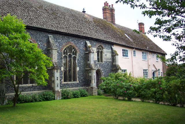
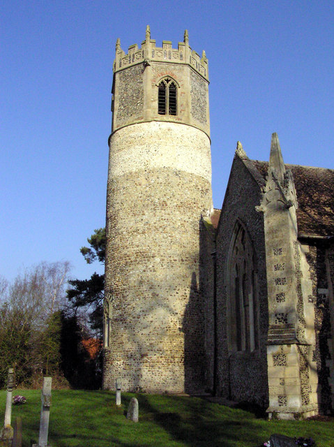
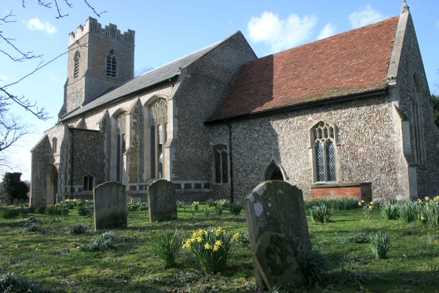
St Mary's Church, Rickinghall Superior
St Mary's Church is a redundant Anglican church in the civil parish of Rickinghall Superior, in the village of Rickinghall, Suffolk, England. It is recorded...
St Botolph's Chapel, Botesdale
St Botolph's Chapel is located in Botesdale, Suffolk. Built as a chapel of ease for the parish church of St Mary's Church, Redgrave, it now serves as the...
A143 road
The A143 is a road that runs from the Gorleston-on-Sea area of Great Yarmouth, in Norfolk to Haverhill in Suffolk. For much of the route (between Gorleston...

Westhall Wood and Meadow
Westhall Wood and Meadow is a 43.1-hectare (107-acre) biological Site of Special Scientific Interest south of Rickinghall in Suffolk.The wood is ancient...
Rickinghall Inferior
Rickinghall Inferior is a civil parish in the Mid Suffolk district of Suffolk, England. According to the 2011 census there were 233 males and 216 females...
Nearby Amenities
Located within 500m of 52.328125,1.0125083Have you been to Micklewood Green?
Leave your review of Micklewood Green below (or comments, questions and feedback).