Bedwell

Settlement in Denbighshire

Wales

Bedwell

Stile off Woodhouse Lane An old stone stile off Stonehouse Lane near Old Hall Farm.
Stile off Woodhouse Lane Credit: Jeff Buck

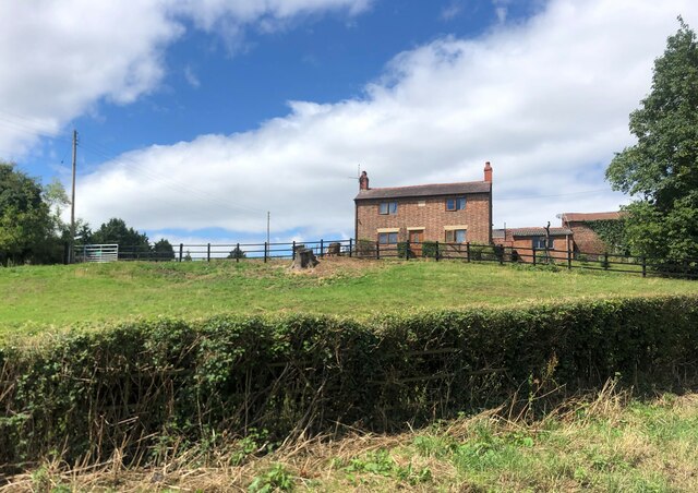
Bedwell is a small village located in the county of Denbighshire, Wales. Situated in the picturesque Vale of Clwyd, it lies approximately 3 miles southwest of the town of Ruthin. The village is nestled amidst rolling hills and lush green countryside, offering stunning views of the surrounding landscape.

With a population of around 200 residents, Bedwell is a close-knit community that exudes a tranquil and peaceful atmosphere. The village is characterized by its charming traditional Welsh architecture, with many historic buildings that have been well-preserved over the years.

Bedwell is known for its strong sense of community spirit, with various local events and activities organized throughout the year. The village hosts a summer fête, where residents and visitors can enjoy traditional music, food stalls, and games. The nearby countryside provides ample opportunities for outdoor activities such as hiking, cycling, and horse riding.

Although Bedwell is a small village, it benefits from its proximity to Ruthin, which offers a wider range of amenities including shops, schools, and leisure facilities. The village is well-connected to the rest of Denbighshire and beyond, with regular bus services and easy access to major road networks.

Overall, Bedwell is a charming and idyllic village that offers a peaceful retreat for those seeking a slower pace of life. Its stunning natural surroundings, strong community spirit, and proximity to amenities make it an attractive place to live or visit.

If you have any feedback on the listing, please let us know in the comments section below.
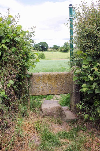
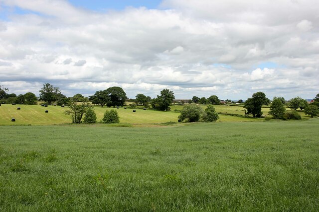
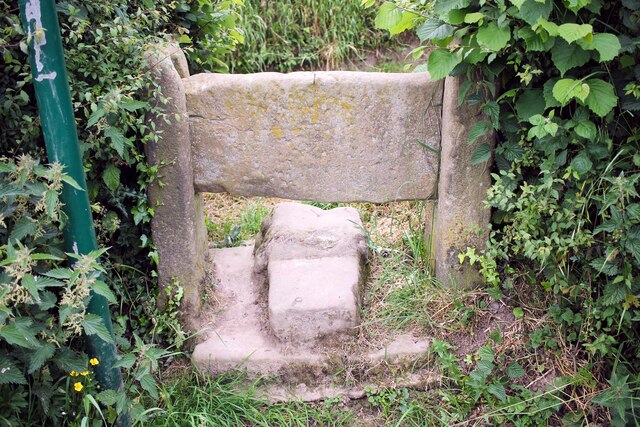
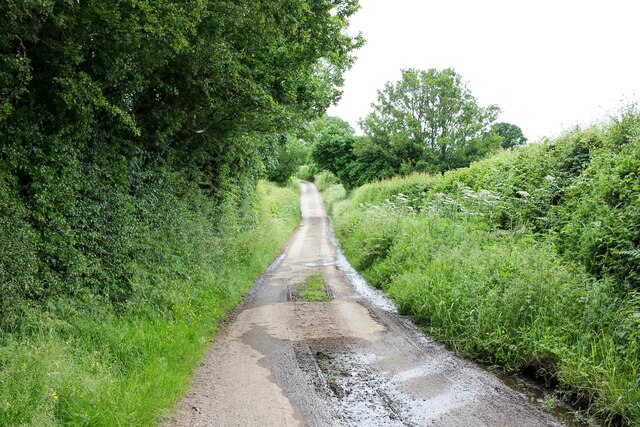
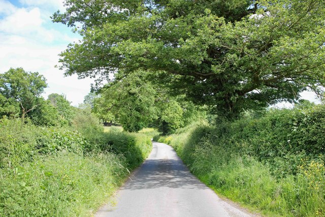
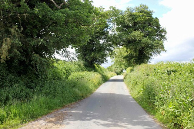
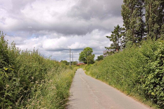
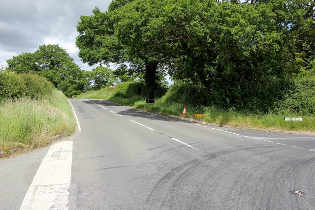
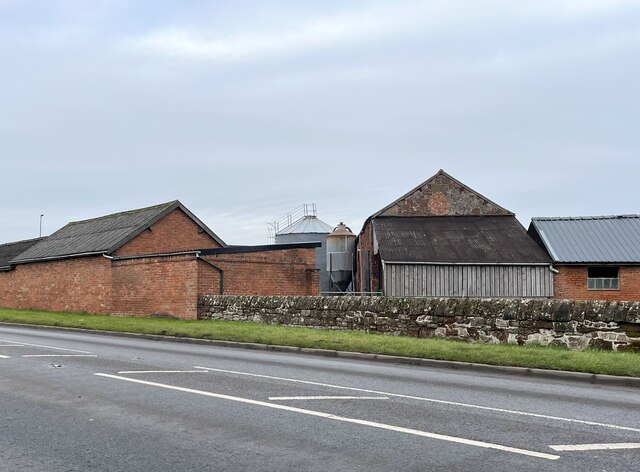
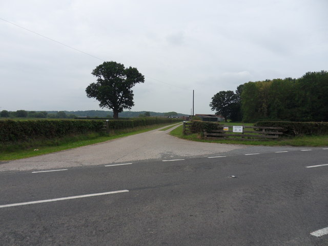
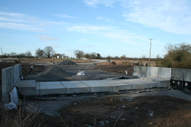
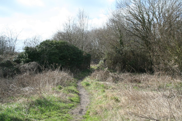
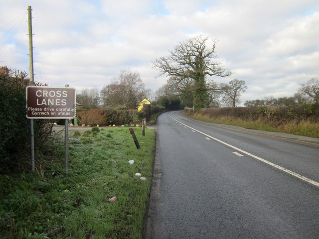
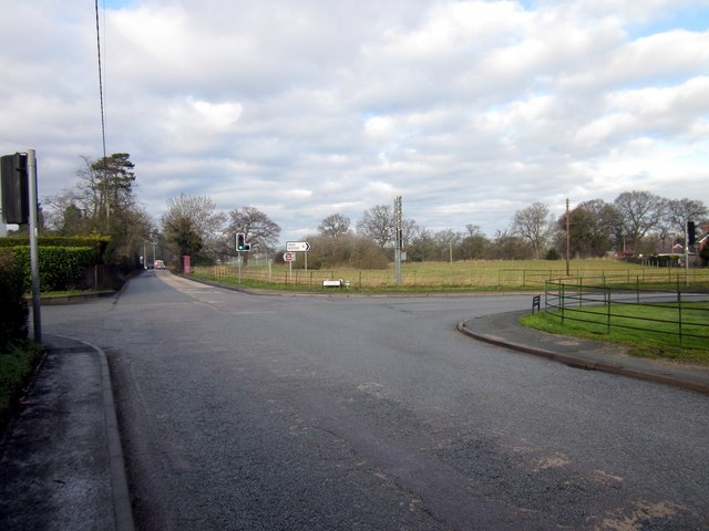
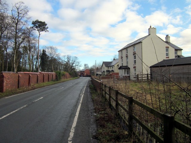
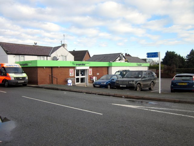
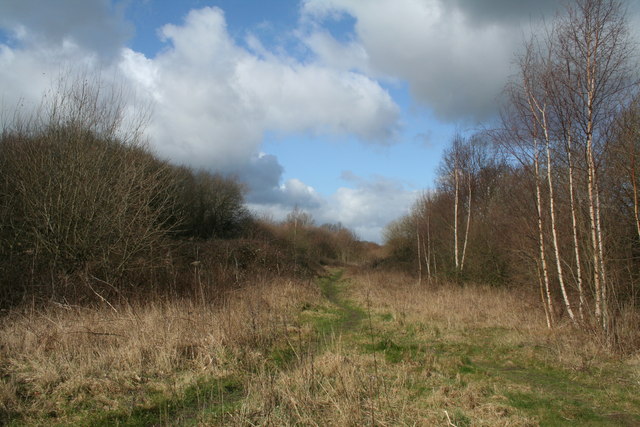
Bedwell Images

Images are sourced within 2km of 53.010951/-2.9504537 or Grid Reference SJ3646. Thanks to Geograph Open Source API. All images are credited.

Stile off Woodhouse Lane An old stone stile off Stonehouse Lane near Old Hall Farm.
Stile off Woodhouse Lane
An old stone stile off Stonehouse Lane near Old Hall Farm.
Towards Marchwiel A public footpath across the fields heading towards Marchwiel.
Towards Marchwiel
A public footpath across the fields heading towards Marchwiel.
Stile off Woodhouse Lane An old stone stile off Stonehouse Lane near Old Hall Farm.
Stile off Woodhouse Lane
An old stone stile off Stonehouse Lane near Old Hall Farm.
Woodhouse Lane Heading south along the narrow Woodhouse Lane towards Cock Bank.
Woodhouse Lane
Heading south along the narrow Woodhouse Lane towards Cock Bank.
Bwgan-ddu Lane Looking east along Bwgan-ddu Lane between Sontley and Cock Bank.
Bwgan-ddu Lane
Looking east along Bwgan-ddu Lane between Sontley and Cock Bank.
Bwgan-ddu Lane Looking west along Bwgan-ddu Lane between Sontley and Cock Bank.
Bwgan-ddu Lane
Looking west along Bwgan-ddu Lane between Sontley and Cock Bank.
Cockbank Lane Looking North-northwest along Cockbank Lane towards Pentre Mailyn south of Wrexham.
Cockbank Lane
Looking North-northwest along Cockbank Lane towards Pentre Mailyn south of Wrexham.
The A528 (Overton Road) at Cock Bank Looking north along the A528 (Overton Road) at Cock Bank at the junction of Cockbank Lane and the B5130 (Pentre Nant Lane).
The A528 (Overton Road) at Cock Bank
Looking north along the A528 (Overton Road) at Cock Bank at the junction of Cockbank Lane and the B5130 (Pentre Nant Lane).
Farmhouse, Porthygan
Farm buildings at Eyton House
Royton Farm Entrance drive off the B5426, leading to Royton Farm.
Royton Farm
Entrance drive off the B5426, leading to Royton Farm.
New Bridge Part of the new Wrexham Trading Estate access road, where it will join the A525 at Cross lanes.
New Bridge
Part of the new Wrexham Trading Estate access road, where it will join the A525 at Cross lanes.
Some style! Looking towards Marchwiel station,this stile was more of a hurdle than at first realised.
Some style!
Looking towards Marchwiel station,this stile was more of a hurdle than at first realised.
Ellesmere Line This is the present view from the whereabouts of Marchwiel station looking towards Wrexham Central.
Ellesmere Line
This is the present view from the whereabouts of Marchwiel station looking towards Wrexham Central.
Entering Cross Lanes at Porthwgan The A525 heading north west at Porthwgan.
Entering Cross Lanes at Porthwgan
The A525 heading north west at Porthwgan.
The Crossroads at Cross Lanes Crossroads at Cross Lanes where the A525 (straight ahead) meets Holt Road (on the right) and Kiln Lane (on the left).
The Crossroads at Cross Lanes
Crossroads at Cross Lanes where the A525 (straight ahead) meets Holt Road (on the right) and Kiln Lane (on the left).
The B5130 (Kiln Lane) at Cross Lanes The building on the right, still marked as a public house on the OS map was the Kiln Inn but is now a private residence.
The B5130 (Kiln Lane) at Cross Lanes
The building on the right, still marked as a public house on the OS map was the Kiln Inn but is now a private residence.
The Co-op at Cross Lanes The Co-op at the junction of Holt Road and Bedwell Road.
The Co-op at Cross Lanes
The Co-op at the junction of Holt Road and Bedwell Road.
Show me another place!

Bedwell is located at Grid Ref: SJ3646 (Lat: 53.010951, Lng: -2.9504537)

Unitary Authority: Wrexham

Police Authority: North Wales

What 3 Words

///hacksaw.sunroof.mimed. Near Marchwiel, Wrexham

Related Wikis

Marchwiel

Marchwiel (Welsh: Marchwiail; standardised: Marchwiel) is a village and community in Wrexham County Borough, Wales. It is about 2 miles south-east of Wrexham...

Marchwiel railway station

Marchwiel railway station was a station in Marchwiel, Wrexham, Wales. The station was opened on 2 November 1895 and closed on 10 September 1962. ��2�...

Sesswick Halt railway station

Sesswick Halt railway station was a station in Sesswick, Wrexham, Wales. The station was opened on 1 October 1913 and closed on 10 September 1962. ��2...

Pickhill Halt railway station

Pickhill Halt railway station was a station in Sesswick, Wrexham, Wales. The station was opened on 30 May 1938 and closed in 1962. The opening of the halt...

Nearby Amenities

Located within 500m of 53.010951,-2.9504537
Power: tower
Lat/Long: 53.0070887/-2.9528989
Power: tower
Lat/Long: 53.0069531/-2.9502408
Power: tower
Lat/Long: 53.0068248/-2.947808
Bedwell
Name Cy: Bedwell
Name En: Bedwell
Place: hamlet
Wikidata: Q107032197
Lat/Long: 53.0113089/-2.9503579
Direction: 190
Generator Method: photovoltaic
Generator Output Electricity: yes
Generator Solar Modules: 18
Generator Source: solar
Generator Type: solar_photovoltaic_panel
Location: roof
Power: generator
Lat/Long: 53.0118415/-2.9512788
The data included in this document is from www.openstreetmap.org. The data is made available under ODbL.

Have you been to Bedwell?

Leave your review of Bedwell below (or comments, questions and feedback).