Bedwell
Settlement in Hertfordshire Stevenage
England
Bedwell
Bedwell is a small village located in Hertfordshire, England. Situated approximately 35 miles north of London, it falls within the local government district of Stevenage. The village is part of the civil parish of Stevenage and is surrounded by the picturesque Hertfordshire countryside.
Bedwell has a rich history that dates back to medieval times, with evidence of settlements in the area since the 12th century. Despite its long history, the village has experienced significant development in recent years, with new housing estates and modern amenities being added to the area.
The village offers a peaceful and close-knit community atmosphere, with a range of amenities to cater to the needs of its residents. These include a primary school, local shops, a community center, and a pub. Additionally, the nearby town of Stevenage provides further access to a wide range of services and facilities, including shopping centers, restaurants, and leisure facilities.
Bedwell benefits from excellent transport links, with the A1(M) motorway located nearby, providing direct access to London and other major cities. The village is also well-served by public transport, with regular bus services connecting it to surrounding towns and villages.
The surrounding countryside offers ample opportunities for outdoor activities, including walking, cycling, and exploring the nearby Stevenage Bioscience Park. The area is also known for its beautiful green spaces and nature reserves, providing a tranquil environment for residents and visitors alike.
In summary, Bedwell is a charming village in Hertfordshire, offering a mix of historical charm and modern amenities. With its convenient location, friendly community, and access to stunning countryside, it provides an attractive place to live or visit.
If you have any feedback on the listing, please let us know in the comments section below.
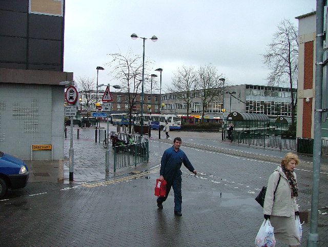
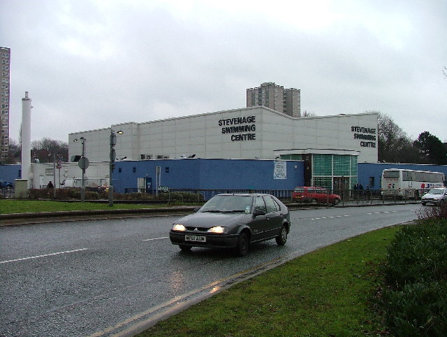
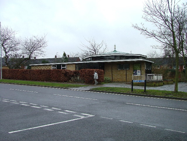
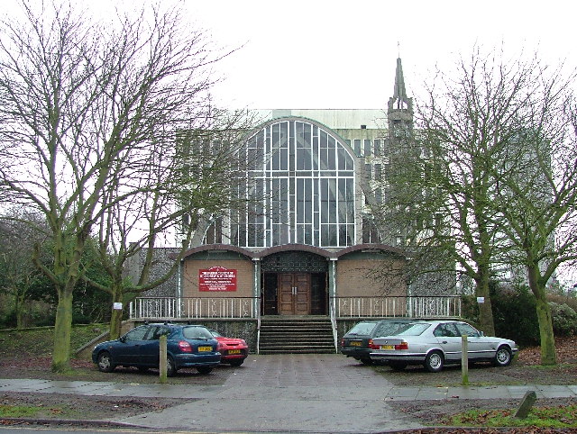
Bedwell Images
Images are sourced within 2km of 51.902097/-0.189889 or Grid Reference TL2424. Thanks to Geograph Open Source API. All images are credited.


Bedwell is located at Grid Ref: TL2424 (Lat: 51.902097, Lng: -0.189889)
Administrative County: Hertfordshire
District: Stevenage
Police Authority: Hertfordshire
What 3 Words
///area.pardon.soup. Near Stevenage, Hertfordshire
Nearby Locations
Related Wikis

List of local nature reserves in Hertfordshire
Hertfordshire is a county in eastern England. It is bordered by Bedfordshire to the north, Cambridgeshire to the north-east, Essex to the east, Buckinghamshire...

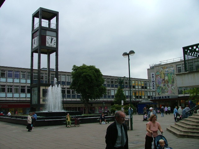
Stevenage Clock Tower
Stevenage Clock Tower is a Grade II listed structure in Town Square in the centre of Stevenage New Town. A panel on the tower records the visit of Elizabeth...

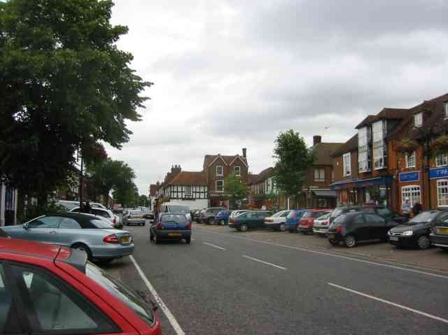
Stevenage
Stevenage ( STEE-vən-ij) is a large town and borough in Hertfordshire, England, about 27 miles (43 km) north of London. Stevenage is east of junctions...
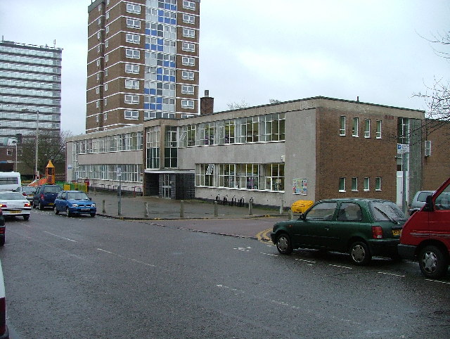
North Hertfordshire College
North Hertfordshire College ("NHC") is a further education and higher education college operating in Stevenage, Hitchin, and Letchworth Garden City. NHC...

Stevenage Borough Council
Stevenage Borough Council is the local authority for the Stevenage non-metropolitan district of England, the United Kingdom. Stevenage is located in the...

Marriotts School
Marriotts School is a secondary school in Stevenage, Hertfordshire, England. The school was rebuilt along with Lonsdale School (for special needs children...

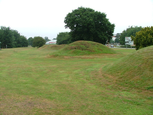
Six Hills
The Six Hills are a collection of Roman barrows situated alongside the old Great North Road on Six Hills Common in Stevenage, Hertfordshire, England....

Women's Engineering Society
The Women's Engineering Society is a United Kingdom professional learned society and networking body for women engineers, scientists and technologists...
Nearby Amenities
Located within 500m of 51.902097,-0.189889Have you been to Bedwell?
Leave your review of Bedwell below (or comments, questions and feedback).