Bedwellte
Settlement in Monmouthshire
Wales
Bedwellte
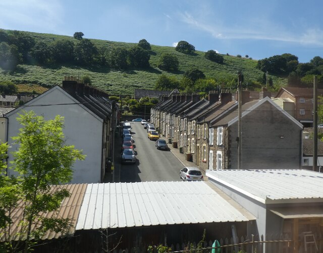
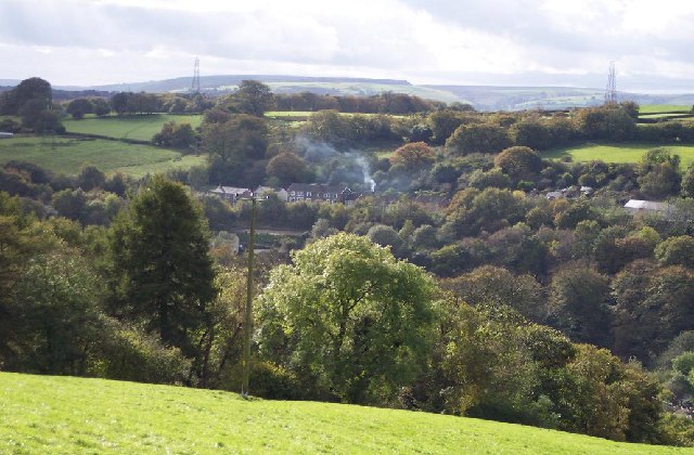
Bedwellte is a small village located in Monmouthshire, Wales. Situated in the eastern part of the county, it lies approximately 10 miles north of the town of Newport. The village is nestled in the picturesque Sirhowy Valley, surrounded by rolling hills and lush countryside.
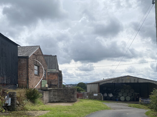
Historically, Bedwellte was a mining community, with coal mines being the primary source of employment in the area. The village developed during the industrial revolution and grew rapidly as the mining industry flourished. However, with the decline of coal mining in the mid-20th century, the village experienced a significant economic downturn.
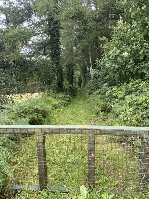
Today, Bedwellte retains its small, close-knit community feel. It is primarily a residential area, with a mixture of traditional stone cottages and more modern housing. The village is known for its peaceful atmosphere and stunning natural beauty. The nearby Sirhowy River provides a picturesque backdrop, and the surrounding countryside offers plenty of opportunities for outdoor activities such as hiking and cycling.
Although the village is relatively small, it benefits from basic amenities, including a local shop, a post office, and a pub. For more extensive facilities, residents can easily access nearby towns such as Tredegar or Newport.
Bedwellte is an ideal location for those seeking a serene rural setting while still being within easy reach of larger towns and cities. With its charming character and beautiful surroundings, it offers a peaceful retreat for residents and visitors alike.
If you have any feedback on the listing, please let us know in the comments section below.
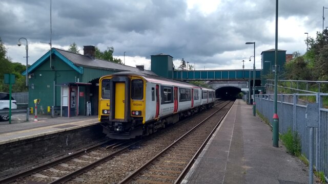
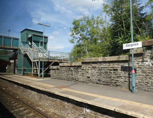
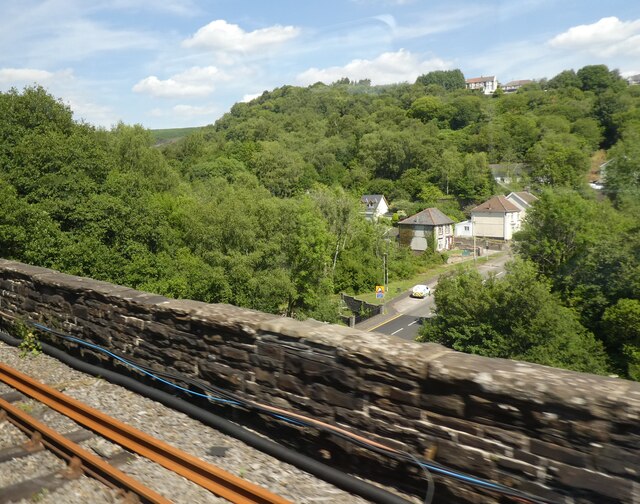
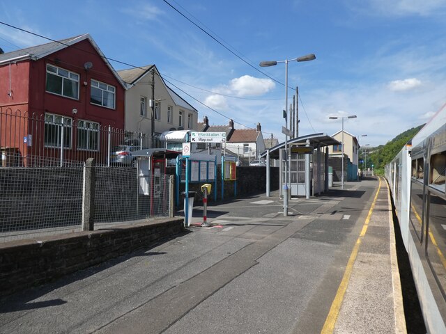
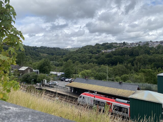
Bedwellte Images
Images are sourced within 2km of 51.698679/-3.209491 or Grid Reference SO1600. Thanks to Geograph Open Source API. All images are credited.
Bedwellte is located at Grid Ref: SO1600 (Lat: 51.698679, Lng: -3.209491)
Unitary Authority: Caerphilly
Police Authority: Gwent
Also known as: Bedwellty
What 3 Words
///ranged.riding.breed. Near Bargoed, Caerphilly
Related Wikis
Bedwellty
Bedwellty is a small village in Caerphilly County Borough in south Wales. The village stands on a ridge of high ground between the Rhymney and Sirhowy...

Aberbargoed Buds F.C.
Aberbargoed Buds Football Club is a football club based in Aberbargoed, Wales. They currently play in the Ardal SE, the third tier of the Welsh football...

Markham, Caerphilly
Markham is a small village in the South Wales Valleys in Caerphilly County Borough, to the northeast of Bargoed. The B4511 road links to Markham from Aberbargoed...
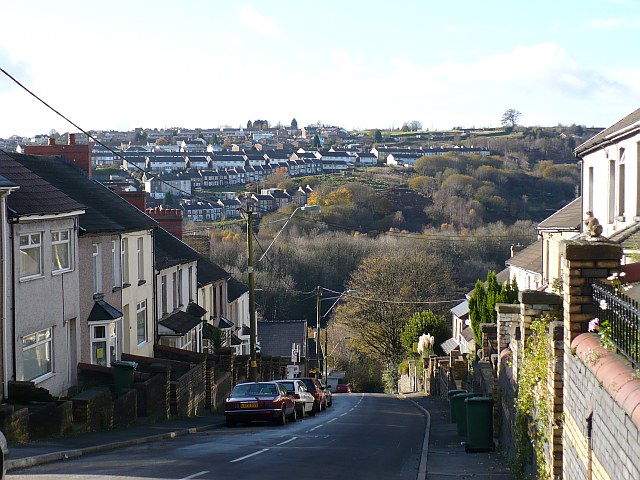
Aberbargoed
Aberbargoed is a town in the County Borough of Caerphilly, Wales. Aberbargoed once contained the largest ever colliery waste tip in Europe, although this...
Aberbargoed Grasslands
Aberbargoed Grasslands is a Site of Special Scientific Interest in the Rhymney Valley in Mid & South Glamorgan, South Wales. The area was designated a...
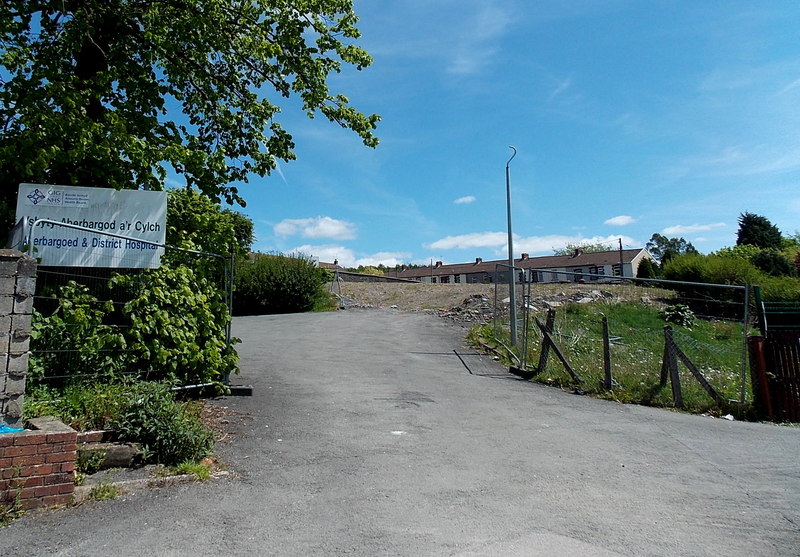
Aberbargoed Hospital
Aberbargoed Hospital (Welsh: Ysbyty Aberbargoed) was a community hospital in Aberbargoed, Caerphilly County Borough, Wales. It was managed by the Aneurin...
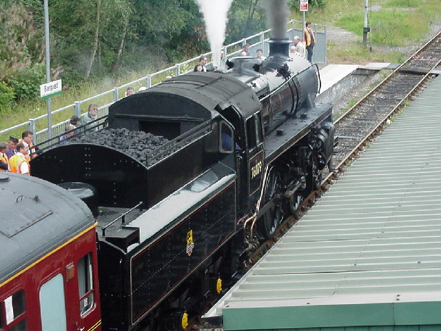
Argoed railway station
Argoed railway station served the village of Argoed in the County Borough of Caerphilly, Wales. it succeeded the first Argoed station built by the Sirhowy...
Argoed, Caerphilly
Argoed (Welsh for 'by a wood' / 'by a grove') is a village, community and an electoral ward in the Sirhowy Valley between Blackwood and Tredegar in Caerphilly...
Nearby Amenities
Located within 500m of 51.698679,-3.209491Have you been to Bedwellte?
Leave your review of Bedwellte below (or comments, questions and feedback).