Bedwas
Settlement in Monmouthshire
Wales
Bedwas

The requested URL returned error: 429 Too Many Requests
If you have any feedback on the listing, please let us know in the comments section below.
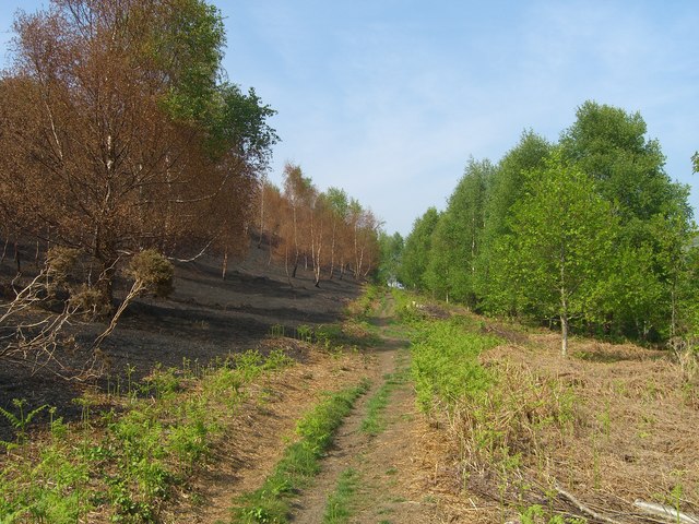
Bedwas Images
Images are sourced within 2km of 51.591367/-3.1992057 or Grid Reference ST1788. Thanks to Geograph Open Source API. All images are credited.


Bedwas is located at Grid Ref: ST1788 (Lat: 51.591367, Lng: -3.1992057)
Unitary Authority: Caerphilly
Police Authority: Gwent
What 3 Words
///extend.mason.manifests. Near Bedwas, Caerphilly
Nearby Locations
Related Wikis
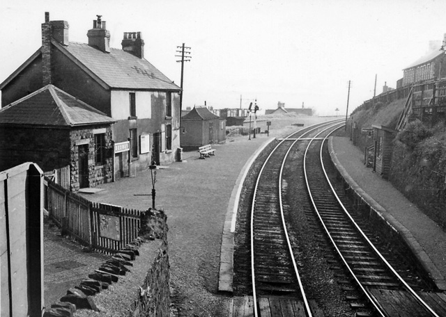
Bedwas railway station
Bedwas railway station served the village of Bedwas, Monmouthshire, Wales, from 1865 to 1965 on the Brecon and Merthyr Tydfil Junction Railway. == History... ==

Bedwas
Bedwas is a town situated two miles north-east of Caerphilly, south Wales, situated in the Caerphilly county borough, within the historic boundaries of...
Bedwas High School
Bedwas High School, formerly known as Bedwas Comprehensive School, is a comprehensive school located east of the Welsh village of Bedwas, Caerphilly county...

Cadw
Cadw ([ˈkadu], a Welsh verbal noun meaning "keeping/preserving") is the historic environment service of the Welsh Government and part of the Tourism and...
Nearby Amenities
Located within 500m of 51.591367,-3.1992057Have you been to Bedwas?
Leave your review of Bedwas below (or comments, questions and feedback).