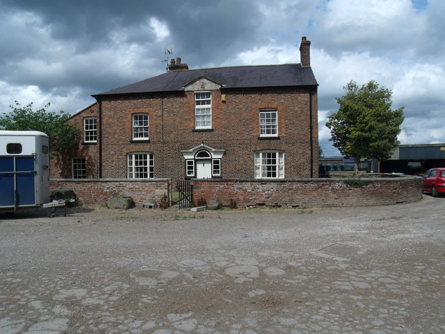
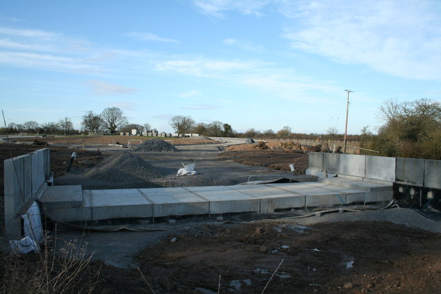
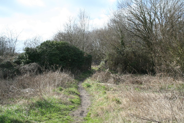
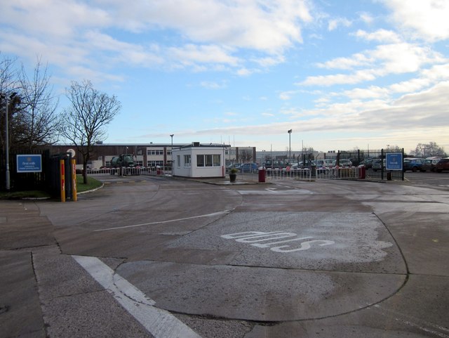
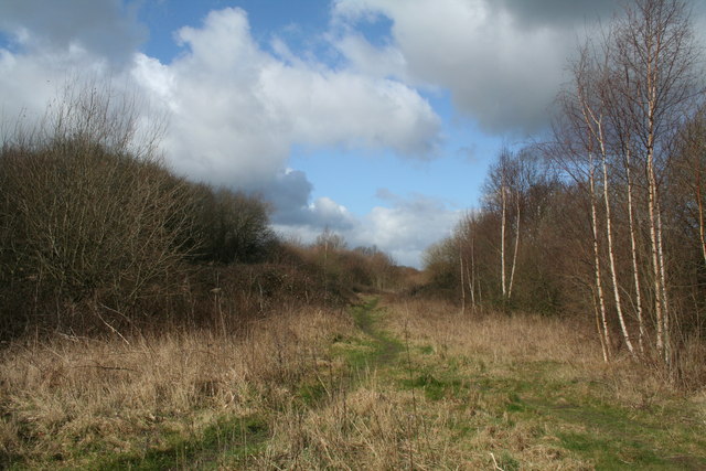
The Belt

Wood, Forest in Denbighshire

Wales

The Belt

Woodhouse Lane Heading south along the narrow Woodhouse Lane towards Cock Bank.
Woodhouse Lane Credit: Jeff Buck

The requested URL returned error: 429 Too Many Requests

If you have any feedback on the listing, please let us know in the comments section below.
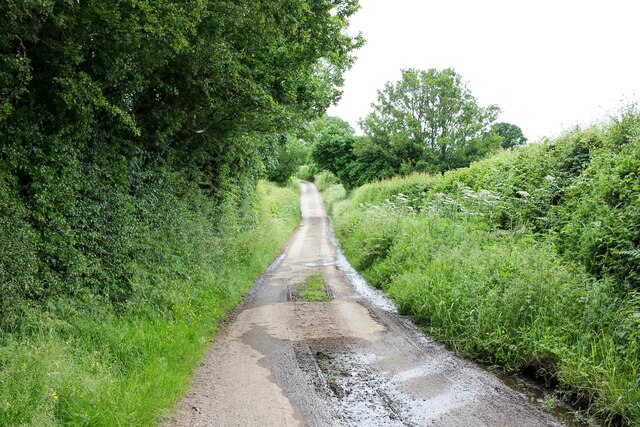
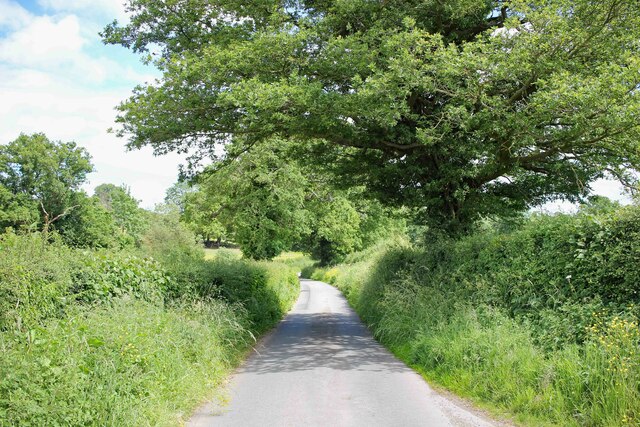
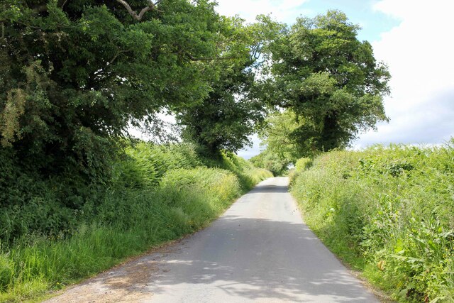
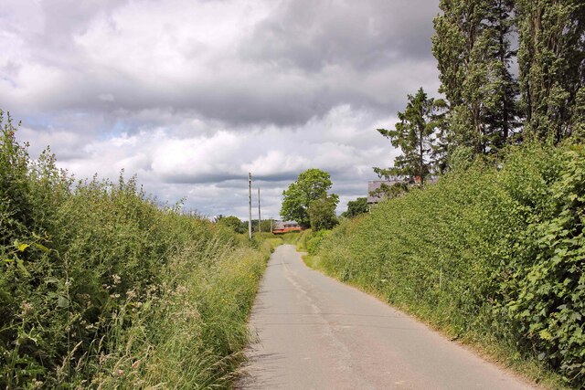
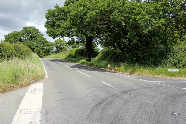
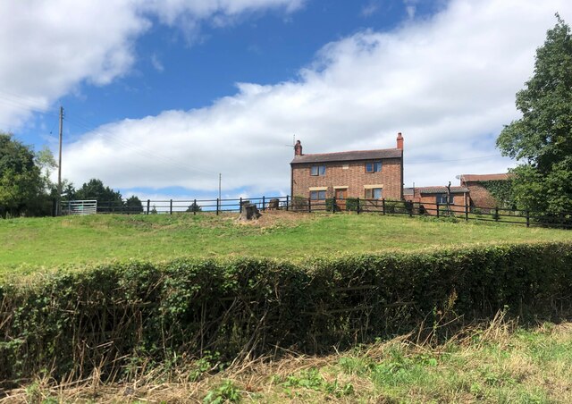
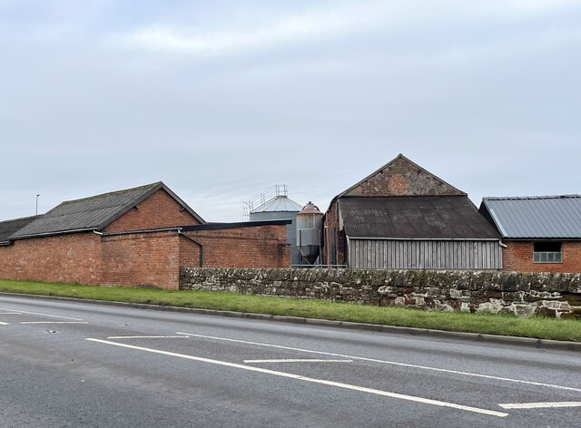
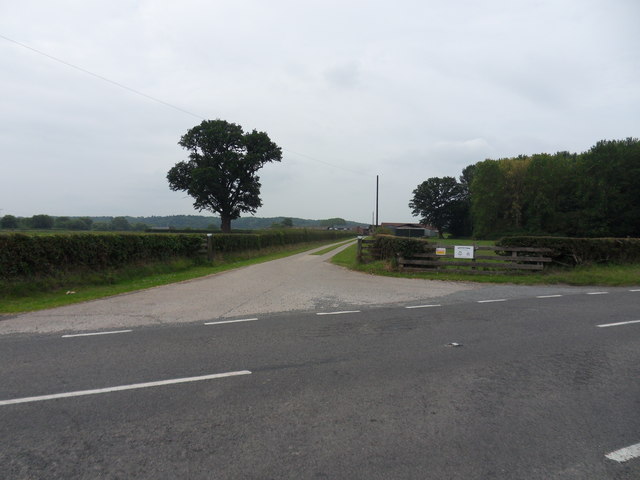
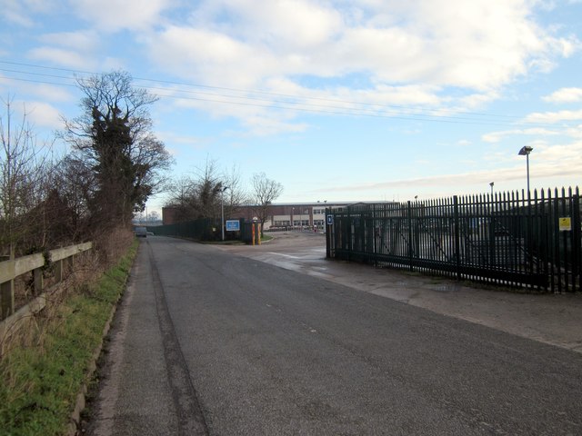
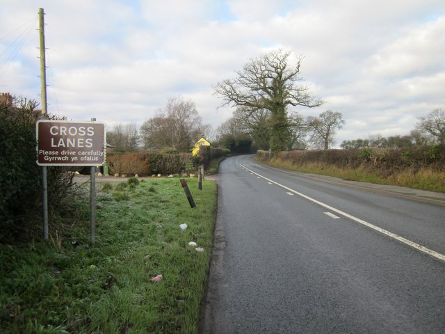
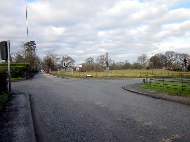
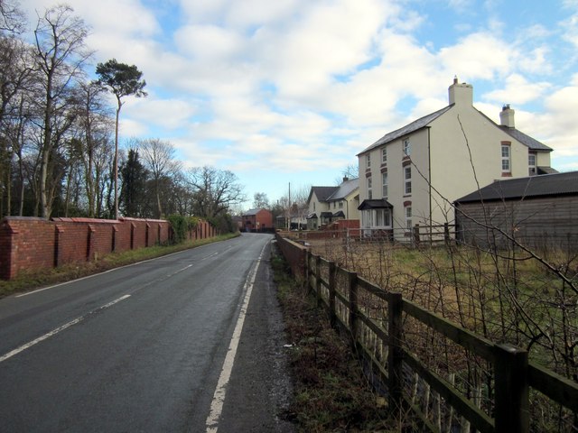
The Belt Images

Images are sourced within 2km of 53.00811/-2.9470231 or Grid Reference SJ3646. Thanks to Geograph Open Source API. All images are credited.

Woodhouse Lane Heading south along the narrow Woodhouse Lane towards Cock Bank.
Woodhouse Lane
Heading south along the narrow Woodhouse Lane towards Cock Bank.
Bwgan-ddu Lane Looking east along Bwgan-ddu Lane between Sontley and Cock Bank.
Bwgan-ddu Lane
Looking east along Bwgan-ddu Lane between Sontley and Cock Bank.
Bwgan-ddu Lane Looking west along Bwgan-ddu Lane between Sontley and Cock Bank.
Bwgan-ddu Lane
Looking west along Bwgan-ddu Lane between Sontley and Cock Bank.
Cockbank Lane Looking North-northwest along Cockbank Lane towards Pentre Mailyn south of Wrexham.
Cockbank Lane
Looking North-northwest along Cockbank Lane towards Pentre Mailyn south of Wrexham.
The A528 (Overton Road) at Cock Bank Looking north along the A528 (Overton Road) at Cock Bank at the junction of Cockbank Lane and the B5130 (Pentre Nant Lane).
The A528 (Overton Road) at Cock Bank
Looking north along the A528 (Overton Road) at Cock Bank at the junction of Cockbank Lane and the B5130 (Pentre Nant Lane).
Farmhouse, Porthygan
Farm buildings at Eyton House
Royton Farm Entrance drive off the B5426, leading to Royton Farm.
Royton Farm
Entrance drive off the B5426, leading to Royton Farm.
New Bridge Part of the new Wrexham Trading Estate access road, where it will join the A525 at Cross lanes.
New Bridge
Part of the new Wrexham Trading Estate access road, where it will join the A525 at Cross lanes.
Some style! Looking towards Marchwiel station,this stile was more of a hurdle than at first realised.
Some style!
Looking towards Marchwiel station,this stile was more of a hurdle than at first realised.
Entrance to First Milk, Maelor site Entrance to First Milk cheese cutting and packaging operations, Maelor site on Pickhill Lane. First Milk is the UK's only major dairy company which is 100% owned by British farmers.
Entrance to First Milk, Maelor site
Entrance to First Milk cheese cutting and packaging operations, Maelor site on Pickhill Lane. First Milk is the UK's only major dairy company which is 100% owned by British farmers.
Pickhill Lane next to First Milk Maelor site Pickhill Lane near the entrance to First Milk cheese cutting and packaging operations, Maelor site on Pickhill Lane. First Milk is the UK's only major dairy company which is 100% owned by British farmers.
Pickhill Lane next to First Milk Maelor site
Pickhill Lane near the entrance to First Milk cheese cutting and packaging operations, Maelor site on Pickhill Lane. First Milk is the UK's only major dairy company which is 100% owned by British farmers.
Entering Cross Lanes at Porthwgan The A525 heading north west at Porthwgan.
Entering Cross Lanes at Porthwgan
The A525 heading north west at Porthwgan.
The Crossroads at Cross Lanes Crossroads at Cross Lanes where the A525 (straight ahead) meets Holt Road (on the right) and Kiln Lane (on the left).
The Crossroads at Cross Lanes
Crossroads at Cross Lanes where the A525 (straight ahead) meets Holt Road (on the right) and Kiln Lane (on the left).
The B5130 (Kiln Lane) at Cross Lanes The building on the right, still marked as a public house on the OS map was the Kiln Inn but is now a private residence.
The B5130 (Kiln Lane) at Cross Lanes
The building on the right, still marked as a public house on the OS map was the Kiln Inn but is now a private residence.
The Co-op at Cross Lanes The Co-op at the junction of Holt Road and Bedwell Road.
The Co-op at Cross Lanes
The Co-op at the junction of Holt Road and Bedwell Road.
Nant Clwyd Park, Cross Lanes
Show me another place!

The Belt is located at Grid Ref: SJ3646 (Lat: 53.00811, Lng: -2.9470231)

Unitary Authority: Wrexham

Police Authority: North Wales

What 3 Words

///detection.novels.somewhere. Near Marchwiel, Wrexham

Related Wikis

Marchwiel

Marchwiel (Welsh: Marchwiail; standardised: Marchwiel) is a village and community in Wrexham County Borough, Wales. It is about 2 miles south-east of Wrexham...

Sesswick Halt railway station

Sesswick Halt railway station was a station in Sesswick, Wrexham, Wales. The station was opened on 1 October 1913 and closed on 10 September 1962. ��2...

Bangor-on-Dee racecourse

Bangor-on-Dee Racecourse (Welsh: Cae Rasio Bangor-is-y-coed) is a thoroughbred horse racing venue located in Bangor-on-Dee near Wrexham, Wales, United...

Marchwiel railway station

Marchwiel railway station was a station in Marchwiel, Wrexham, Wales. The station was opened on 2 November 1895 and closed on 10 September 1962. ��2�...

Nearby Amenities

Located within 500m of 53.00811,-2.9470231
Power: tower
Lat/Long: 53.0070887/-2.9528989
Power: tower
Lat/Long: 53.0069531/-2.9502408
Power: tower
Lat/Long: 53.0068248/-2.947808
Power: tower
Lat/Long: 53.006653/-2.9445062
Power: tower
Lat/Long: 53.0066142/-2.9411978
Bedwell
Name Cy: Bedwell
Name En: Bedwell
Place: hamlet
Wikidata: Q107032197
Lat/Long: 53.0113089/-2.9503579
The data included in this document is from www.openstreetmap.org. The data is made available under ODbL.

Have you been to The Belt?

Leave your review of The Belt below (or comments, questions and feedback).