Bogle
Settlement in Kent Swale
England
Bogle
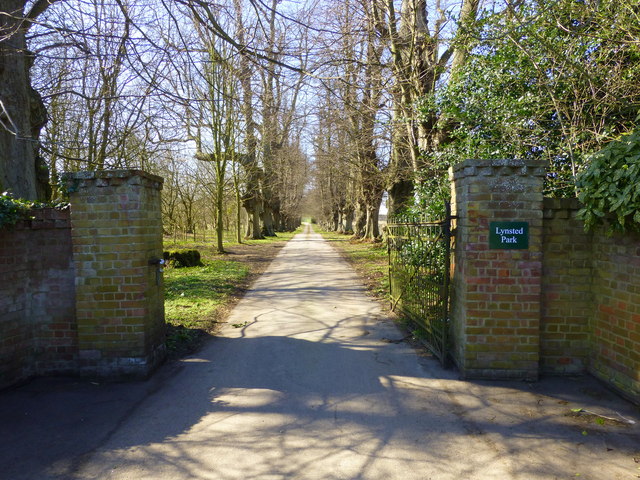
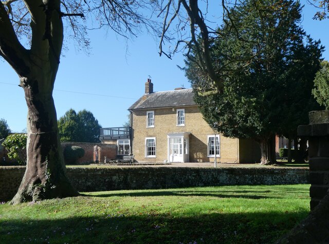
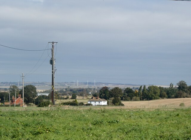
Bogle, Kent is a small village located in the southeastern part of England, within the county of Kent. Situated approximately 40 miles southeast of London, Bogle is known for its picturesque countryside and quaint charm. The village is nestled amidst lush green fields and rolling hills, providing a peaceful and idyllic setting for its residents.
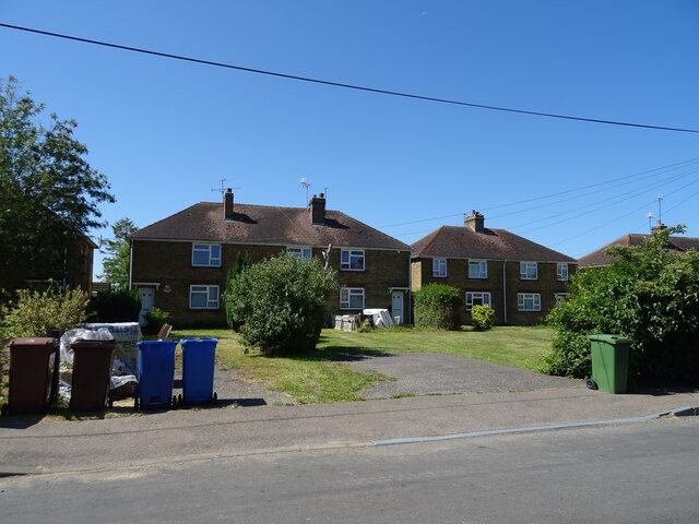
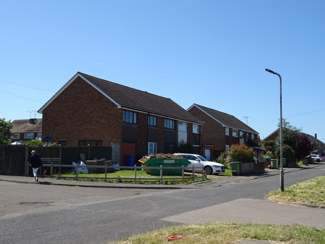
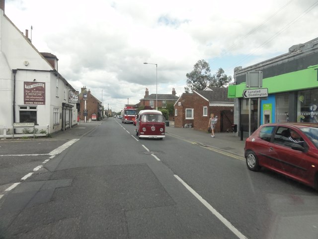
Bogle is home to a relatively small population, with most of its inhabitants engaged in agriculture or other rural industries. The village is characterized by traditional English architecture, with a cluster of charming cottages and a few local shops and amenities. The community is tight-knit, with residents often participating in various social events and activities organized by the village council.
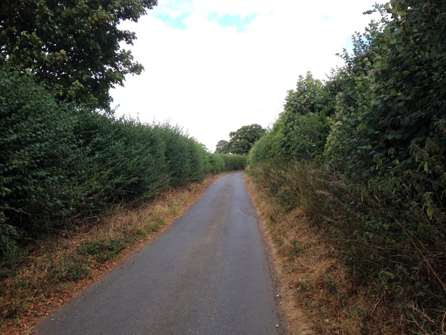
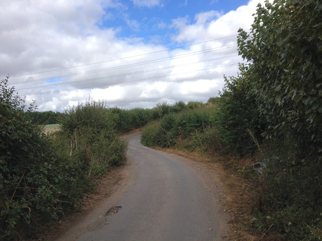
Surrounded by natural beauty, Bogle offers plenty of opportunities for outdoor enthusiasts. The nearby countryside provides ample trails for walking, hiking, and cycling, allowing residents to enjoy the stunning vistas and fresh air. The village is also dotted with several parks and green spaces, serving as popular spots for picnics and family outings.
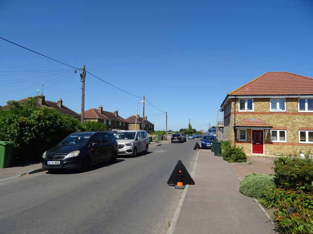
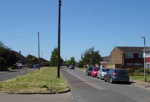
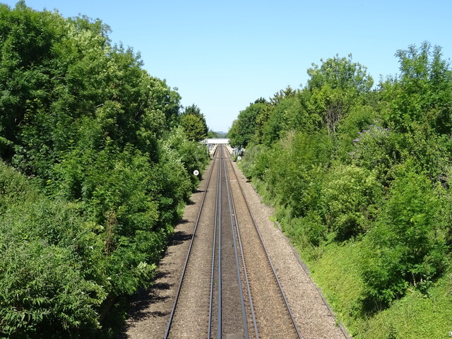
Despite its rural setting, Bogle benefits from good transportation links. The village is conveniently connected to nearby towns and cities through a well-maintained road network, making it easily accessible for both residents and visitors. Additionally, a local bus service operates regularly, providing transport to the surrounding areas.
In summary, Bogle, Kent is a charming and tranquil village, where residents can enjoy a close-knit community, beautiful countryside, and easy access to amenities and transportation links.
If you have any feedback on the listing, please let us know in the comments section below.
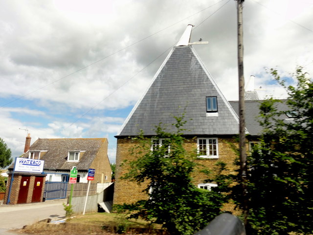
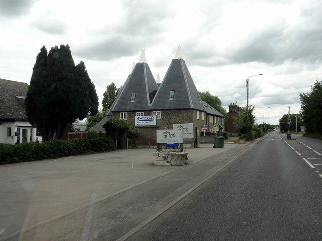
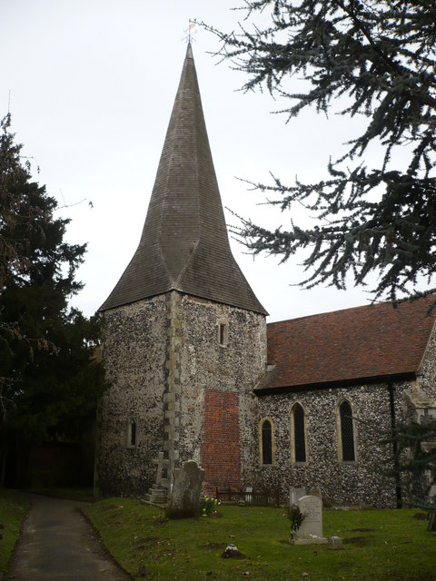
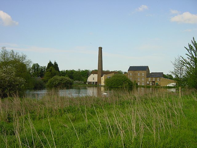
Bogle Images
Images are sourced within 2km of 51.319088/0.79284451 or Grid Reference TQ9461. Thanks to Geograph Open Source API. All images are credited.
Bogle is located at Grid Ref: TQ9461 (Lat: 51.319088, Lng: 0.79284451)
Administrative County: Kent
District: Swale
Police Authority: Kent
What 3 Words
///contain.multiples.annoys. Near Teynham, Kent
Nearby Locations
Related Wikis

Lynsted
Lynsted is a village in Lynsted with Kingsdown civil parish in the Swale borough of Kent, England. The village is situated south of the A2 road between...

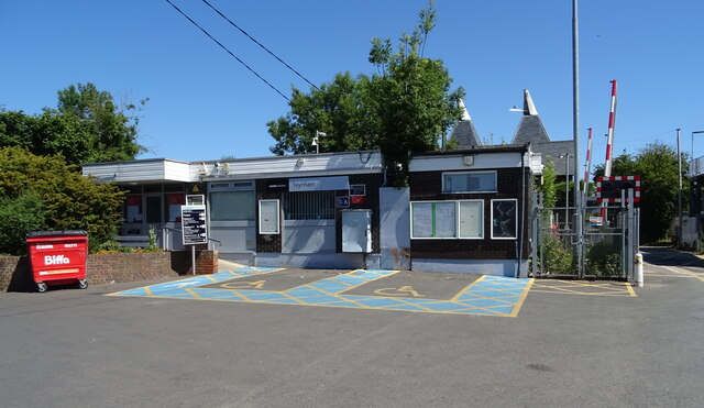
Teynham
Teynham ( TEN-əm) is a large village and civil parish in the borough of Swale in Kent, England. The parish lies between the towns of Sittingbourne and...

Lewson Street
Lewson Street is a village near the A2 road, in the Swale District, in the English county of Kent. It is near the towns of Sittingbourne and Faversham...
Bapchild
Bapchild is a village and civil parish in the Swale district of Kent, England, about two miles inside of Sittingbourne. It lies on the old Roman road...

Norton, Buckland and Stone
Norton, Buckland and Stone is a small rural civil parish 1 mile (1.6 km) east of Teynham and 3 miles (4.8 km) west of the centre of Faversham in the borough...

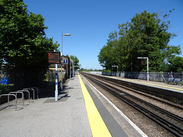
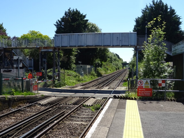
Teynham railway station
Teynham railway station is on the Chatham Main Line in England, serving the village of Teynham, Kent. It is 47 miles 74 chains (77.1 km) down the line...

Rodmersham
Rodmersham is a village and civil parish in the Borough of Swale in the north of the English county of Kent. It is just under 1 mile (1.6 km) south of...
Tonge, Kent
Tonge is a village near Sittingbourne in Kent, England. The hamlet is north of Bapchild (where at the 2011 Census the population was included), close to...
Related Videos

Walking with fabulous topiaries & stunning garden (2022)@star8leafzy
We enjoyed our visit in this stunning park surrounded with lovely flowers historical house and huge topiary created and ...

The Last Walk of 2020
What a wild year it has been. This was our last group walk of 2020 in October, and we didn't really even know it. We will be back ...

Trafalgar Square to Big Ben #WalkWithMe #London #iphone14pro #HD
from Trafalgar Square to Big Ben #WalkWithMe #London #iphone14pro #4K #HD.
Nearby Amenities
Located within 500m of 51.319088,0.79284451Have you been to Bogle?
Leave your review of Bogle below (or comments, questions and feedback).