Mag Dale

Settlement in Yorkshire

England

Mag Dale

Armitage Bridge The actual bridge which gives the area its name.
Armitage Bridge Credit: John Illingworth

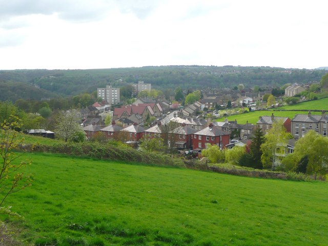
Mag Dale is a picturesque village located in the heart of Yorkshire, England. Situated amidst rolling hills and lush green fields, this quaint settlement is renowned for its idyllic charm and peaceful ambiance. With a population of around 500 residents, Mag Dale offers a close-knit community atmosphere that is cherished by both locals and visitors alike.

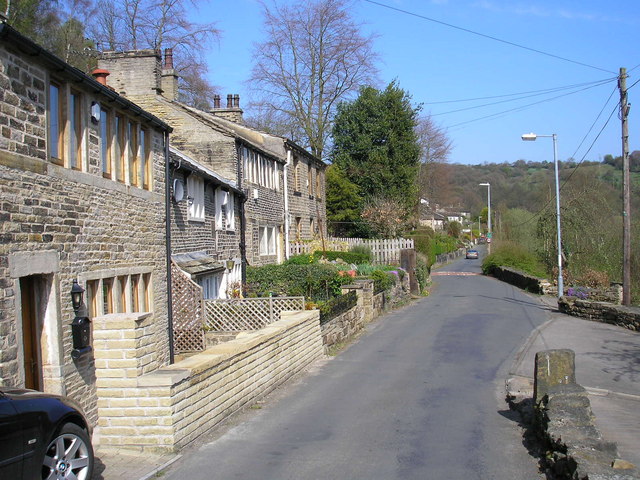
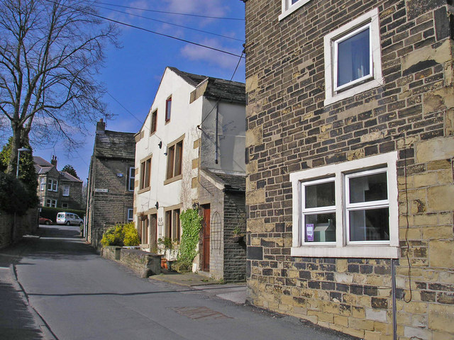
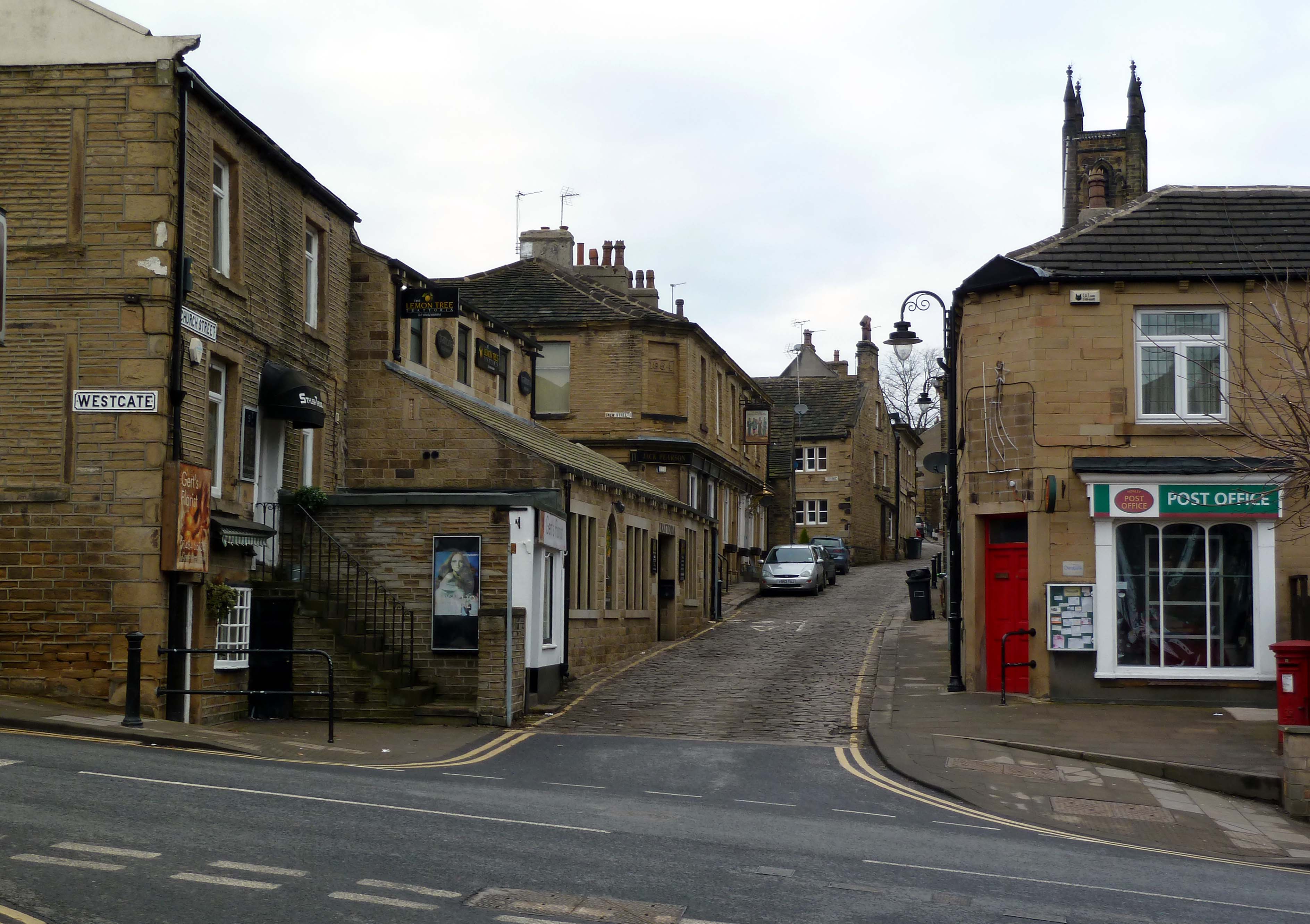
The village is characterized by its traditional stone houses, which add to its rustic and timeless appeal. The centerpiece of Mag Dale is the historic St. Mary's Church, a stunning example of Norman architecture dating back to the 12th century. Its impressive stained glass windows and ornate interior attract tourists and history enthusiasts from far and wide.

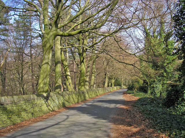
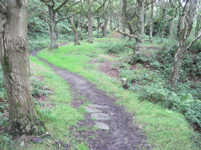
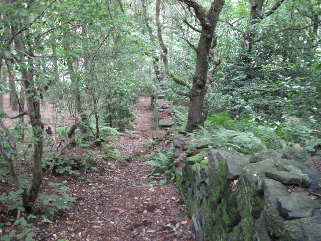
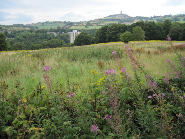
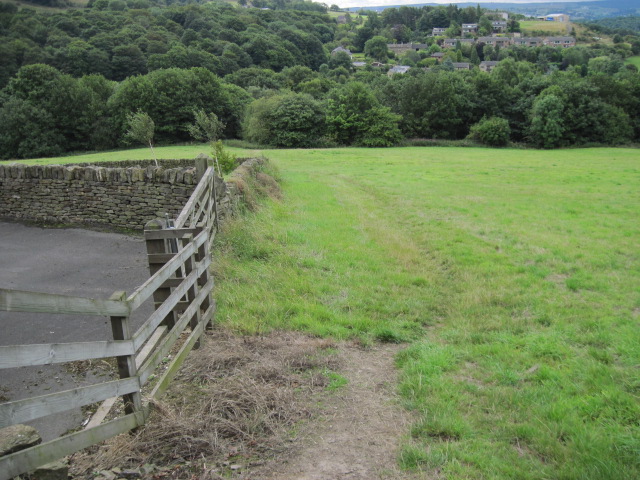
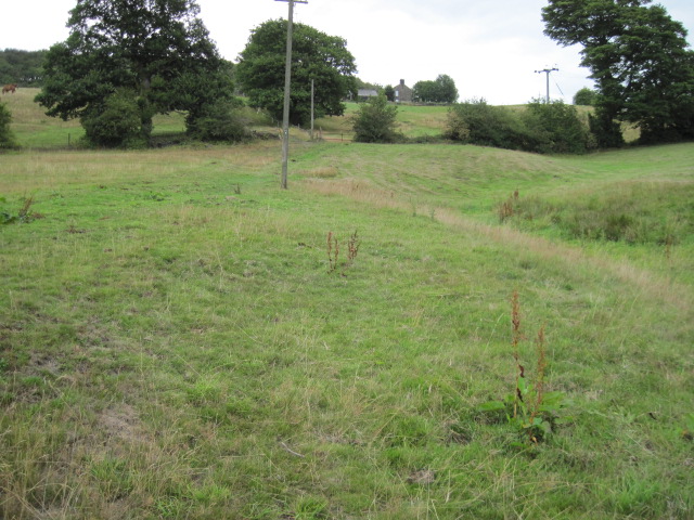
Surrounded by the stunning Yorkshire Dales National Park, Mag Dale is a haven for nature lovers and outdoor enthusiasts. The village serves as a gateway to numerous walking and hiking trails, offering breathtaking views of the surrounding countryside. The nearby Mag Dale Reservoir is a popular spot for fishing and boating, attracting anglers and water sports enthusiasts throughout the year.

Mag Dale is also home to a vibrant local community, with a range of amenities and services available. The village boasts a cozy pub, The Magpie Inn, where locals and visitors can enjoy traditional Yorkshire dishes and local brews. Additionally, there are a few quaint shops and a village hall that hosts various events and social gatherings.

Overall, Mag Dale is a captivating destination for those seeking a peaceful and scenic retreat in the heart of Yorkshire. Its natural beauty, rich history, and friendly community make it a truly special place to visit or call home.

If you have any feedback on the listing, please let us know in the comments section below.
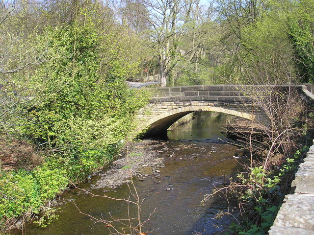
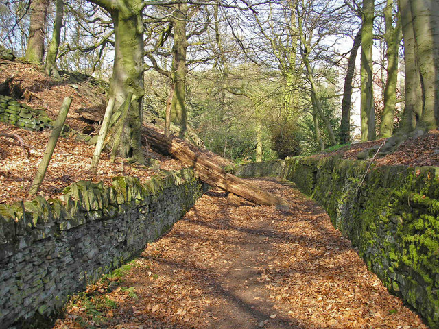
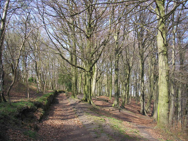
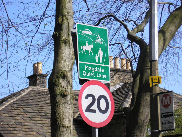
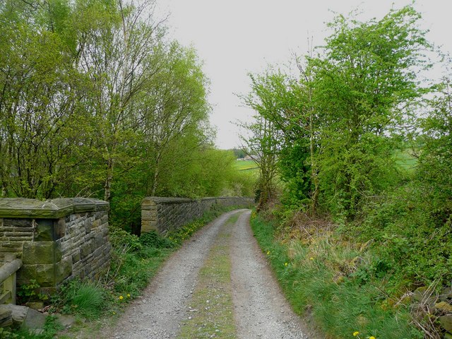
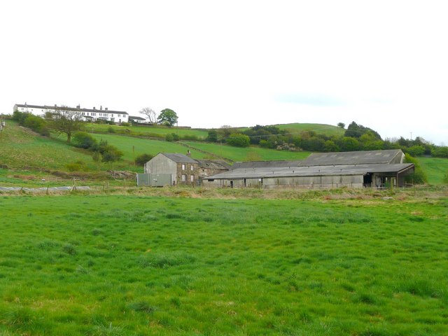
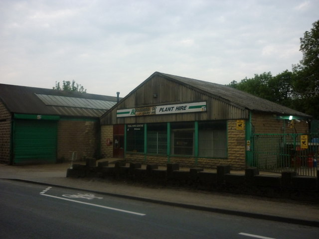
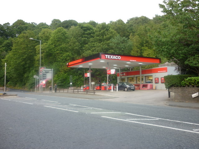
Mag Dale Images

Images are sourced within 2km of 53.608875/-1.79517 or Grid Reference SE1312. Thanks to Geograph Open Source API. All images are credited.

Armitage Bridge The actual bridge which gives the area its name.
Armitage Bridge
The actual bridge which gives the area its name.
Lane out of Armitage Bridge A walled lane leading into Mag Wood. A dead tree partly blocks the way.
Lane out of Armitage Bridge
A walled lane leading into Mag Wood. A dead tree partly blocks the way.
Mag Wood Woodland near Mag Dale on the Holme Valley Circular Walk.
Mag Wood
Woodland near Mag Dale on the Holme Valley Circular Walk.
Magdale Quiet Lane sign The Department for Transport guidance defines Quiet Lanes as "minor rural roads or networks of roads appropriate for shared use by walkers, cyclists, horse riders, and other vehicles."
Magdale Quiet Lane sign
The Department for Transport guidance defines Quiet Lanes as "minor rural roads or networks of roads appropriate for shared use by walkers, cyclists, horse riders, and other vehicles."
Road at Magdale An officially designated "quiet lane".
Road at Magdale
An officially designated "quiet lane".
Mag Dale A group of houses in Mag Dale. A row of mullioned windows on the top storey usually indicates a former weaver's cottage.
Mag Dale
A group of houses in Mag Dale. A row of mullioned windows on the top storey usually indicates a former weaver's cottage.
Church Street, Honley An interesting mix of buildings in the afternoon sun.
Church Street, Honley
An interesting mix of buildings in the afternoon sun.
View from Lady House Lane, Almondbury The Berry Brow primary and infants school can be seen in the distance, still in its 19C Huddersfield Board Elementary School buildings. In the middle, the houses are along Newsome Road South.
View from Lady House Lane, Almondbury
The Berry Brow primary and infants school can be seen in the distance, still in its 19C Huddersfield Board Elementary School buildings. In the middle, the houses are along Newsome Road South.
Cold Hill Lane, Almondbury The wall on the left surrounds an area that once contained a circular reservoir belonging to Huddersfield County Borough (maybe the structure is still in there).
Cold Hill Lane, Almondbury
The wall on the left surrounds an area that once contained a circular reservoir belonging to Huddersfield County Borough (maybe the structure is still in there).
Stirley Farm, Almondbury This farm looks disused, or at least the house is boarded up.
Stirley Farm, Almondbury
This farm looks disused, or at least the house is boarded up.
Rodgers Plant Hire, Honley
A Texaco garage on Huddersfield Road
Footpath in Dean Wood, Netherton
Footpath from Bourn View Road to Meltham Road
Towards Berry Brow Flats and Castle Hill
Footpath towards Field End Lane
Footpath near High Royd Farm
Footpath From Hall Ing Lane
Show me another place!

Mag Dale is located at Grid Ref: SE1312 (Lat: 53.608875, Lng: -1.79517)

Division: West Riding

Unitary Authority: Kirklees

Police Authority: West Yorkshire

What 3 Words

///donor.catch.case. Near Meltham Mills, West Yorkshire

Related Wikis

Honley High School

Honley High School is a coeducational secondary school situated on the edge of the village of Honley in the Holme Valley, West Yorkshire, England. The...

Honley

Honley is a village in the Holme Valley civil parish in Kirklees, West Yorkshire, England. Historically part of the West Riding of Yorkshire, it is situated...

Honley railway station

Honley railway station serves the village of Honley in the Holme Valley of West Yorkshire, England. Honley station lies approximately 3 miles (4.8 km)...

Armitage Bridge

Armitage Bridge is a village approximately 3 miles (4.8 km) south of Huddersfield, in the Holme Valley, West Yorkshire, England. It is situated between...

Nearby Amenities

Located within 500m of 53.608875,-1.79517
Bus Stop
Huddersfield Road Reins Terrace
Bench: no
Bin: no
Local Ref: 45022029
Naptan AtcoCode: 450022029
Naptan Bearing: NE
Naptan CommonName: Huddersfield Road Reins Terrace
Naptan Crossing: Reins Terrace
Naptan Indicator: Stop 45022029
Naptan PlusbusZoneRef: LEEDS
Naptan ShortCommonName: Honley High School
Naptan Street: Huddersfield Road
Naptan Verified: no
Shelter: no
Source: naptan_import
Tactile Paving: no
Lat/Long: 53.6088042/-1.7886419
Bus Stop
Huddersfield Road Reins Terrace
Bench: no
Bin: no
Local Ref: 45022030
Naptan AtcoCode: 450022030
Naptan Bearing: SW
Naptan CommonName: Huddersfield Road Reins Terrace
Naptan Crossing: Reins Terrace
Naptan Indicator: Stop 45022030
Naptan PlusbusZoneRef: LEEDS
Naptan ShortCommonName: Honley High School
Naptan Street: Huddersfield Road
Naptan Verified: no
Shelter: no
Source: naptan_import
Tactile Paving: no
Lat/Long: 53.6089295/-1.7883239
Sandbeds
Local Ref: 45024597
Naptan AtcoCode: 450024597
Naptan Bearing: E
Naptan BusStopType: CUS
Naptan CommonName: Sandbeds
Naptan Crossing: White Gate
Naptan Indicator: Stop 45024597
Naptan PlusbusZoneRef: LEEDS
Naptan ShortCommonName: White Gate
Naptan Street: Sandbeds
Naptan Verified: no
Source: naptan_import
Lat/Long: 53.6097485/-1.7944035
Turning Circle
Lat/Long: 53.6067943/-1.7946049
Power: pole
Lat/Long: 53.6057558/-1.8003378
Power: pole
Lat/Long: 53.6063845/-1.8000021
Power: pole
Lat/Long: 53.6072437/-1.7981593
Power: pole
Lat/Long: 53.6077318/-1.7956385
Power: pole
Lat/Long: 53.6082472/-1.7929926
Power: pole
Lat/Long: 53.6085011/-1.7916697
Power: pole
Lat/Long: 53.6087939/-1.7901559
Material: wood
Power: pole
Lat/Long: 53.6092742/-1.7876286
Post Box
Lat/Long: 53.606911/-1.7890019
Waterway: weir
Lat/Long: 53.6095047/-1.7899146
Generator Method: photovoltaic
Generator Output Electricity: small_installation
Generator Source: solar
Generator Type: solar_photovoltaic_panel
Note: roof household
Power: generator
Lat/Long: 53.6056897/-1.7969636
Generator Method: photovoltaic
Generator Output Electricity: small_installation
Generator Source: solar
Generator Type: solar_photovoltaic_panel
Note: roof household
Power: generator
Lat/Long: 53.6055048/-1.7965372
Generator Method: photovoltaic
Generator Output Electricity: small_installation
Generator Source: solar
Generator Type: solar_photovoltaic_panel
Note: roof household
Power: generator
Lat/Long: 53.6053391/-1.7941612
Generator Method: photovoltaic
Generator Output Electricity: small_installation
Generator Source: solar
Generator Type: solar_photovoltaic_panel
Note: roof household
Power: generator
Lat/Long: 53.6053115/-1.7940872
Generator Method: photovoltaic
Generator Output Electricity: small_installation
Generator Source: solar
Generator Type: solar_photovoltaic_panel
Note: roof household
Power: generator
Lat/Long: 53.6067539/-1.7955013
Generator Method: photovoltaic
Generator Output Electricity: small_installation
Generator Source: solar
Generator Type: solar_photovoltaic_panel
Note: roof household
Power: generator
Lat/Long: 53.6060635/-1.7936937
Ford: yes
Lat/Long: 53.6075979/-1.7975009
Magdale
Place: hamlet
Lat/Long: 53.609802/-1.7932552
Noexit: yes
Lat/Long: 53.6053363/-1.794524
Waterway: weir
Lat/Long: 53.6099301/-1.7896109
Bench
Backrest: yes
Lat/Long: 53.6047909/-1.7928268
Bench
Backrest: yes
Lat/Long: 53.6085474/-1.7908936
Bench
Backrest: no
Lat/Long: 53.6093233/-1.7907229
Bench
Backrest: no
Lat/Long: 53.60932/-1.7903164
Bench
Backrest: yes
Lat/Long: 53.6072999/-1.7913218
Bench
Backrest: yes
Lat/Long: 53.6091871/-1.7902597
Barrier: kissing_gate
Lat/Long: 53.608511/-1.7910722
Barrier: stile
Note: Not sure this is really a stile - but it is used as one.
Stile: stepover
Lat/Long: 53.6064374/-1.7926909
Bench
Backrest: no
Lat/Long: 53.6067328/-1.7927984
Bench
Backrest: yes
Lat/Long: 53.6079929/-1.7923596
Waterway: weir
Lat/Long: 53.6076873/-1.7904416
Bench
Backrest: no
Lat/Long: 53.6094124/-1.7897446
Waterway: weir
Lat/Long: 53.6076251/-1.7953941
Note: Goes further
Lat/Long: 53.6113114/-1.7933586
Spring Head Well
Natural: spring
Lat/Long: 53.6076818/-1.7976338
The data included in this document is from www.openstreetmap.org. The data is made available under ODbL.

Have you been to Mag Dale?

Leave your review of Mag Dale below (or comments, questions and feedback).