Spring Wood
Wood, Forest in Yorkshire
England
Spring Wood
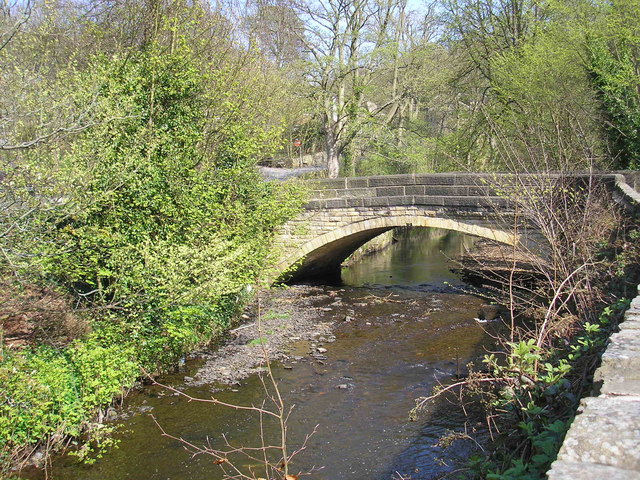
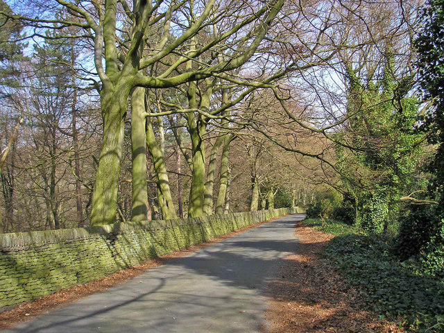
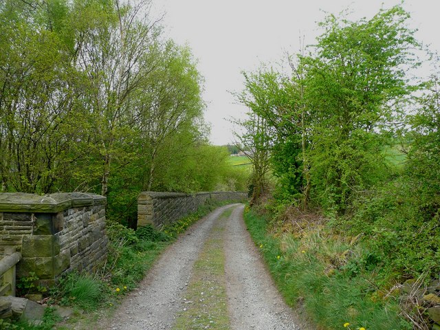
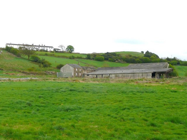
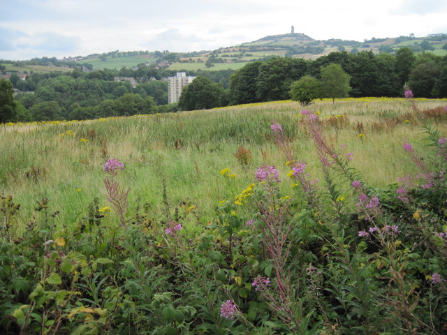
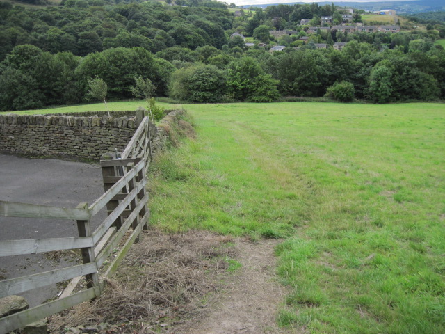
Spring Wood is a picturesque forest located in the heart of Yorkshire, England. Covering an area of approximately 500 acres, this wood is renowned for its natural beauty, diverse flora and fauna, and tranquil atmosphere. The wood is situated at the western edge of the Yorkshire Dales National Park, providing visitors with stunning views of rolling hills and lush greenery.
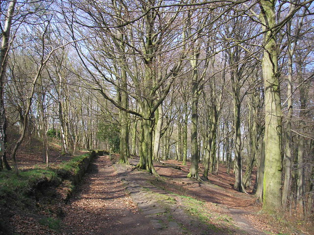
As the name suggests, Spring Wood is particularly enchanting during the spring season when an array of vibrant wildflowers, including bluebells and primroses, carpet the forest floor. The wood is also home to a variety of tree species, such as oak, beech, and ash, which create a dense canopy, providing shade and shelter to the wildlife that thrives within.
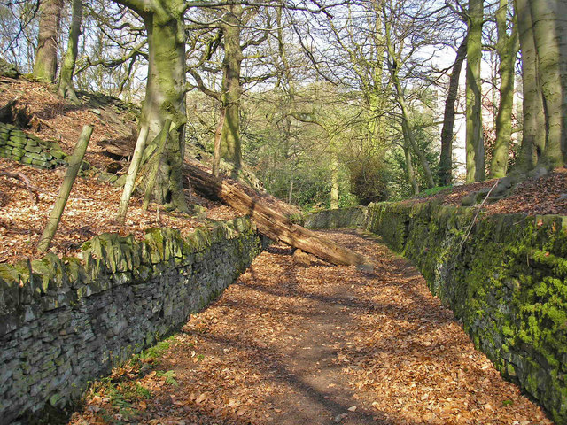
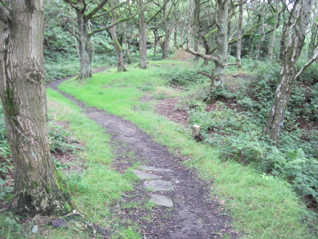
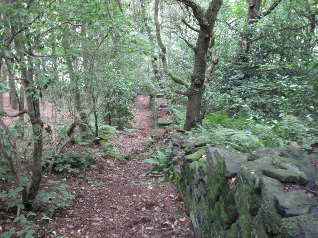
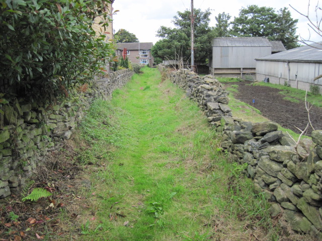
Visitors to Spring Wood can enjoy a range of outdoor activities, including hiking, cycling, and birdwatching. Numerous well-marked trails wind their way through the wood, allowing visitors to explore its hidden corners and discover its natural treasures. The wood is also intersected by several small streams, adding to its charm and providing opportunities for peaceful picnics or a refreshing dip.
Wildlife enthusiasts will be delighted by the diverse fauna that calls Spring Wood home. Red squirrels, badgers, and deer are frequently spotted, and the wood is a haven for birdlife, with species such as woodpeckers, owls, and songbirds gracing the treetops with their melodic calls.
In summary, Spring Wood offers a captivating experience for nature lovers and outdoor enthusiasts alike. Its scenic beauty, extensive trails, and abundant wildlife make it a must-visit destination for those seeking a peaceful retreat in the heart of Yorkshire.
If you have any feedback on the listing, please let us know in the comments section below.
Spring Wood Images
Images are sourced within 2km of 53.608263/-1.8017918 or Grid Reference SE1312. Thanks to Geograph Open Source API. All images are credited.

Spring Wood is located at Grid Ref: SE1312 (Lat: 53.608263, Lng: -1.8017918)
Division: West Riding
Unitary Authority: Kirklees
Police Authority: West Yorkshire
What 3 Words
///firmly.levels.overnight. Near Meltham Mills, West Yorkshire
Nearby Locations
Related Wikis
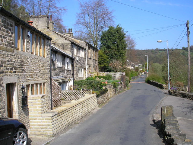
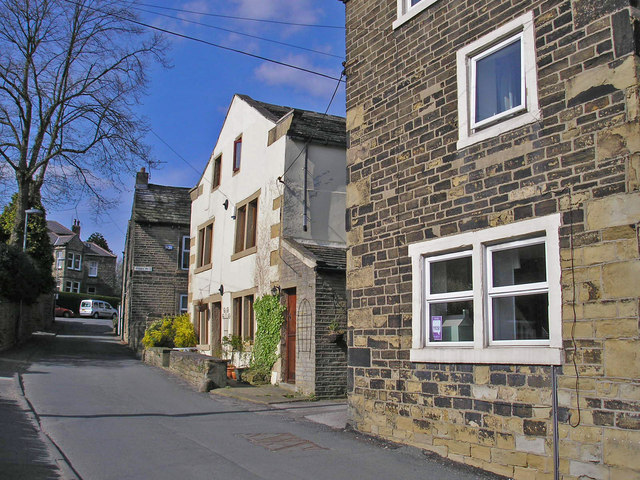
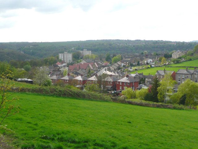
Honley
Honley is a village in the Holme Valley civil parish in Kirklees, West Yorkshire, England. Historically part of the West Riding of Yorkshire, it is situated...

Netherton, Kirklees
Netherton is a village, near Huddersfield, in the Kirklees metropolitan borough of West Yorkshire, England. It is 2 miles (3 km) south-west of the town...

Netherton railway station (Kirklees)
Netherton railway station served the village of Netherton, Kirklees, England, from 1869 to 1949 on the Meltham branch line. == History == The station was...
Honley High School
Honley High School is a coeducational secondary school situated on the edge of the village of Honley in the Holme Valley, West Yorkshire, England. The...
Nearby Amenities
Located within 500m of 53.608263,-1.8017918Have you been to Spring Wood?
Leave your review of Spring Wood below (or comments, questions and feedback).