Belford

Settlement in Yorkshire Harrogate

England

Belford

Skelding Moor Moorland landscape near Grantley
Skelding Moor Credit: Chris Heaton

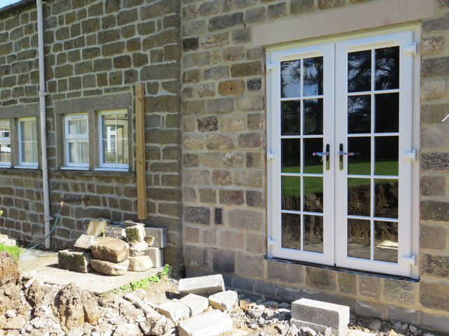
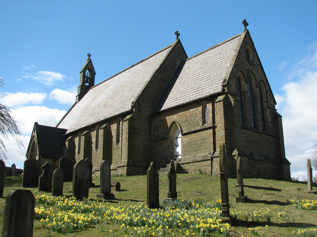
Belford is a picturesque village located in the county of Yorkshire, England. Situated in the Northumberland National Park, it is nestled amongst rolling hills and scenic landscapes, offering a charming rural setting for its residents and visitors alike.

The village has a rich history, with evidence of settlement dating back to Roman times. Today, Belford retains much of its historic charm, with a number of well-preserved buildings that showcase its architectural heritage. The village center features a quaint market square, lined with local shops, cafes, and traditional pubs.

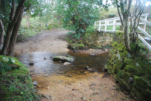
Surrounded by stunning countryside, Belford is a popular destination for outdoor enthusiasts. The nearby Northumberland Coast, designated as an Area of Outstanding Natural Beauty, provides opportunities for scenic walks along its sandy beaches and cliffs. Additionally, the region offers various hiking and cycling trails, allowing visitors to explore the breathtaking countryside.

Despite its small size, Belford boasts a strong sense of community, with various local events and festivals held throughout the year. The village is also home to several community organizations, including sports clubs and social groups, fostering a close-knit and friendly atmosphere.

For those seeking cultural enrichment, Belford is conveniently located near several notable historical sites. The stunning Bamburgh Castle, one of the largest inhabited castles in the country, is a short drive away. Holy Island, with its medieval priory and picturesque village, is also within easy reach.

In summary, Belford offers a tranquil and idyllic setting within the beautiful Yorkshire countryside. With its rich history, scenic surroundings, and strong community spirit, it is a delightful place to visit or call home.

If you have any feedback on the listing, please let us know in the comments section below.
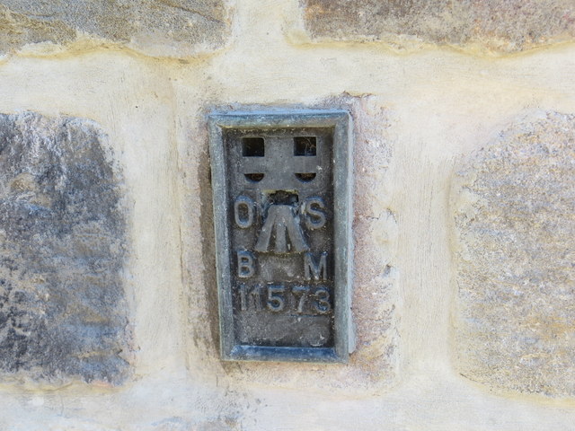
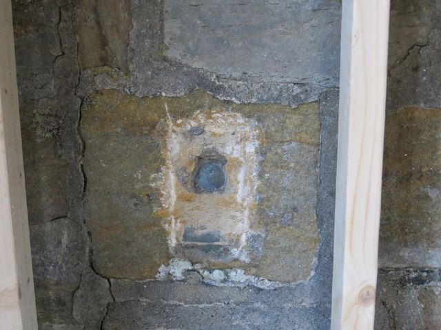
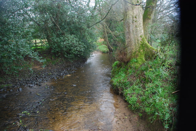
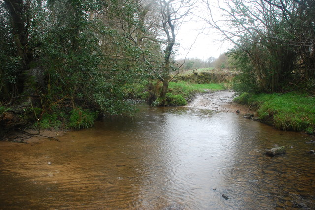
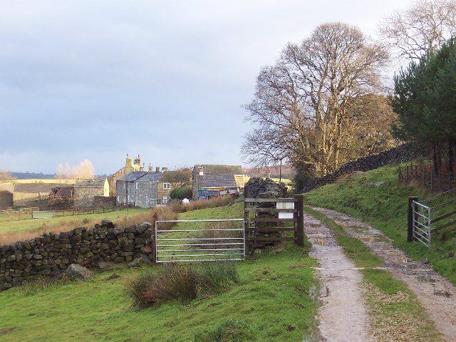
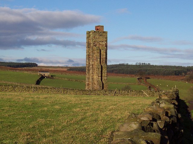
Belford Images

Images are sourced within 2km of 54.146131/-1.6799635 or Grid Reference SE2172. Thanks to Geograph Open Source API. All images are credited.

Skelding Moor Moorland landscape near Grantley
Skelding Moor
Moorland landscape near Grantley
Ordnance Survey Flush Bracket 11573 This re-sited Bracket can be found on the wall of a newly extended building at The Moorhouse - formerly the Drovers Inn.
For more detail see : <span class="nowrap"><a title="http://www.bench-marks.org.uk/bm22378" rel="nofollow ugc noopener" href="http://www.bench-marks.org.uk/bm22378">Link</a><img style="margin-left:2px;" alt="External link" title="External link - shift click to open in new window" src="https://s1.geograph.org.uk/img/external.png" width="10" height="10"/></span>
Ordnance Survey Flush Bracket 11573
This re-sited Bracket can be found on the wall of a newly extended building at The Moorhouse - formerly the Drovers Inn. For more detail see : LinkExternal link
The original location of the now re-sited Ordnance Survey Flush Bracket 11573 The wall of the former Drovers Inn.
For more detail see : <span class="nowrap"><a title="http://www.bench-marks.org.uk/bm22378" rel="nofollow ugc noopener" href="http://www.bench-marks.org.uk/bm22378">Link</a><img style="margin-left:2px;" alt="External link" title="External link - shift click to open in new window" src="https://s1.geograph.org.uk/img/external.png" width="10" height="10"/></span>
The original location of the now re-sited Ordnance Survey Flush Bracket 11573
The wall of the former Drovers Inn. For more detail see : LinkExternal link
New Building at the former Drovers Inn The re-position Ordnance Survey Flush Bracket 11573 is visible on the new wall.
For more detail see : <span class="nowrap"><a title="http://www.bench-marks.org.uk/bm22378" rel="nofollow ugc noopener" href="http://www.bench-marks.org.uk/bm22378">Link</a><img style="margin-left:2px;" alt="External link" title="External link - shift click to open in new window" src="https://s1.geograph.org.uk/img/external.png" width="10" height="10"/></span>
New Building at the former Drovers Inn
The re-position Ordnance Survey Flush Bracket 11573 is visible on the new wall. For more detail see : LinkExternal link
Ford at Belford This ford on the River Laver is found on Belford Lane, a byway leading to Hedge Nook.
Ford at Belford
This ford on the River Laver is found on Belford Lane, a byway leading to Hedge Nook.
Ford at Hedge Nook This ford is found on Aresmor Beck on a byway called Appleby Lane at Hedge Nook.
Ford at Hedge Nook
This ford is found on Aresmor Beck on a byway called Appleby Lane at Hedge Nook.
Ford at Hedge Nook This ford is found on Aresmor Beck along Drift Lane at Hedge Nook.
Ford at Hedge Nook
This ford is found on Aresmor Beck along Drift Lane at Hedge Nook.
Dallow Collection of houses that make up the hamlet of Dallow, from the west.
Dallow
Collection of houses that make up the hamlet of Dallow, from the west.
Sighting Tower, near Carlesmoor Whatever the purpose of this structure it appears abandoned now, and falling into disrepair. See Colsterdale towers on Wikipedia <span class="nowrap"><a title="http://en.wikipedia.org/wiki/Colsterdale_towers" rel="nofollow ugc noopener" href="http://en.wikipedia.org/wiki/Colsterdale_towers">Link</a><img style="margin-left:2px;" alt="External link" title="External link - shift click to open in new window" src="https://s1.geograph.org.uk/img/external.png" width="10" height="10"/></span>
Sighting Tower, near Carlesmoor
Whatever the purpose of this structure it appears abandoned now, and falling into disrepair. See Colsterdale towers on Wikipedia LinkExternal link
Saint Peter's Church, Dallowgill. A springtime view of a secluded chapel within Southern Nidderdale.
Saint Peter's Church, Dallowgill.
A springtime view of a secluded chapel within Southern Nidderdale.
Saint Peter's Church Lovely little church far from any large concentrations of population.
Saint Peter's Church
Lovely little church far from any large concentrations of population.
An hillside Farm One of many hill farms in this area.
An hillside Farm
One of many hill farms in this area.
Dallow The hamlet of Dallow is reached at the end of a lane the leaves the moor road not far from the Drovers Inn.
Dallow
The hamlet of Dallow is reached at the end of a lane the leaves the moor road not far from the Drovers Inn.
Pond at Greygarth
Pond at Greygarth
Ducks at Dallow Sheltered from the wind by a wall, and protected from attack by a stern looking goose, these farm ducks ain't got a care in the world!
Ducks at Dallow
Sheltered from the wind by a wall, and protected from attack by a stern looking goose, these farm ducks ain't got a care in the world!
Tractors at Vicar Pasture Farm
Track leading to Lady Hill Track leaving the lane beside Lady Hill Farm
Track leading to Lady Hill
Track leaving the lane beside Lady Hill Farm
Track beside Lady Hill Farm One of many paths of interest in the scattered community of Dallowgill
Track beside Lady Hill Farm
One of many paths of interest in the scattered community of Dallowgill
Show me another place!

Belford is located at Grid Ref: SE2172 (Lat: 54.146131, Lng: -1.6799635)

Division: West Riding

Administrative County: North Yorkshire

District: Harrogate

Police Authority: North Yorkshire

What 3 Words

///tint.keepers.thunder. Near Pateley Bridge, North Yorkshire

Related Wikis

Laverton, North Yorkshire

Laverton is a village and civil parish in the Harrogate district of North Yorkshire, England, about 7 miles (11 km) west of Ripon. The population of this...

Dallowgill

Dallowgill (historically also Dallaghill) is a village in Harrogate district in North Yorkshire, England. It consists of a number of scattered settlements...

Kirkby Malzeard

Kirkby Malzeard () is a village and civil parish in the Harrogate district of North Yorkshire, England. There has been a creamery in the village making...

Grantley, North Yorkshire

Grantley is a village (also known as High Grantley) and civil parish in North Yorkshire, England. It lies 5 miles (8 km) west of Ripon. The parish also...

Galphay

Galphay (traditionally pronounced [ˈgɔ:fə] GAW-fə) is a village in North Yorkshire, England. It is situated in the Nidderdale Area of Outstanding Natural...

Eavestone

Eavestone is a hamlet and civil parish in the Harrogate district of North Yorkshire, England. It is situated near Brimham Rocks, 3 miles (4.8 km) east...

Winksley

Winksley is a small village and civil parish in the district of Harrogate, North Yorkshire, England. It is situated west of Ripon, and is on the River...

Grantley Hall

Grantley Hall is a English country house located in North Yorkshire, England. It is situated near Grantley, about 5 miles (8 km) to the west of Ripon,...

Nearby Amenities

Located within 500m of 54.146131,-1.6799635
Post Box
Post Box Type: lamp
Ref: HG4 43
Source: survey
Lat/Long: 54.144867/-1.6766871
Place: farm
Lat/Long: 54.1437858/-1.6858099
Building: yes
Lat/Long: 54.1469028/-1.6867326
Building: yes
Lat/Long: 54.1470536/-1.6820763
Building: yes
Lat/Long: 54.1491398/-1.6814754
Ford: yes
Lat/Long: 54.150123/-1.6825968
The data included in this document is from www.openstreetmap.org. The data is made available under ODbL.

Have you been to Belford?

Leave your review of Belford below (or comments, questions and feedback).