Mossy Mire Wood

Wood, Forest in Yorkshire Harrogate

England

Mossy Mire Wood

The entrance to The Willows
The entrance to The Willows Credit: Ian S

Mossy Mire Wood is a picturesque woodland located in the heart of Yorkshire, England. Covering an area of approximately 50 acres, it is a haven for nature enthusiasts and a popular destination for hikers and walkers alike.

The woodland is characterized by its dense covering of moss, which gives it its name. The moss-covered trees create a lush and green ambiance that adds to the enchanting atmosphere of the wood. The forest floor is also covered in a thick carpet of moss, making it a soft and comfortable path to walk on.

Mossy Mire Wood is home to a diverse range of flora and fauna. The woodland boasts a variety of tree species, including oak, beech, and birch, which provide shelter and food for numerous bird species. Visitors may be lucky enough to spot some of the woodland's inhabitants, such as squirrels, rabbits, and even the occasional deer.

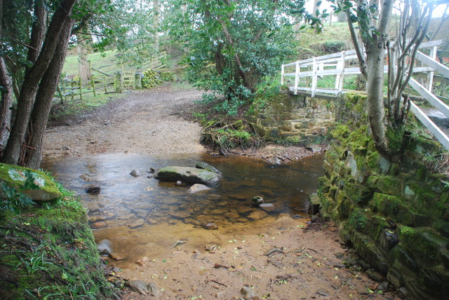
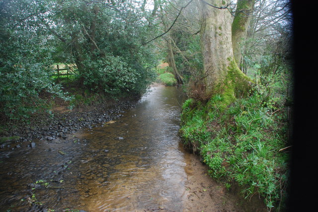
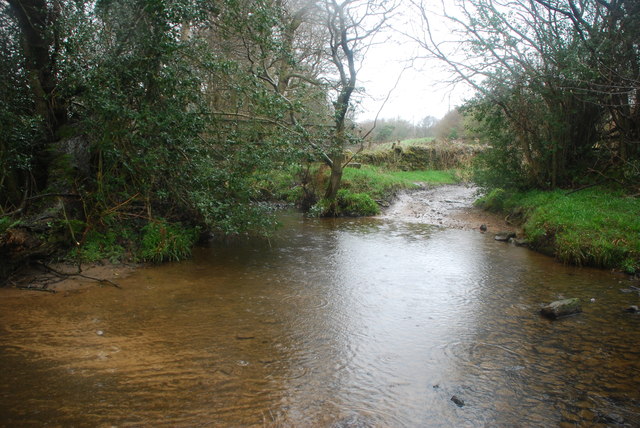
The wood is crisscrossed with a network of well-maintained walking trails, allowing visitors to explore its beauty at their own pace. These trails lead to scenic viewpoints, hidden streams, and tranquil ponds, providing ample opportunities for photographers and nature lovers to capture the beauty of the wood.

Mossy Mire Wood is open year-round, offering different experiences throughout the seasons. In spring, the wood comes alive with vibrant wildflowers and the sweet songs of birds. During the summer, the dense foliage provides a cool and shaded retreat from the heat. In autumn, the woodland transforms into a riot of colors as the leaves change, creating a breathtaking sight. Even in winter, the wood has its own unique charm, with frost-covered branches and a peaceful stillness.

Overall, Mossy Mire Wood offers a serene and captivating escape from the hustle and bustle of everyday life, where visitors can immerse themselves in the beauty of nature.

If you have any feedback on the listing, please let us know in the comments section below.

Mossy Mire Wood Images

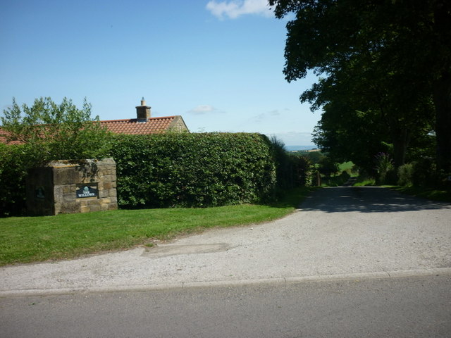
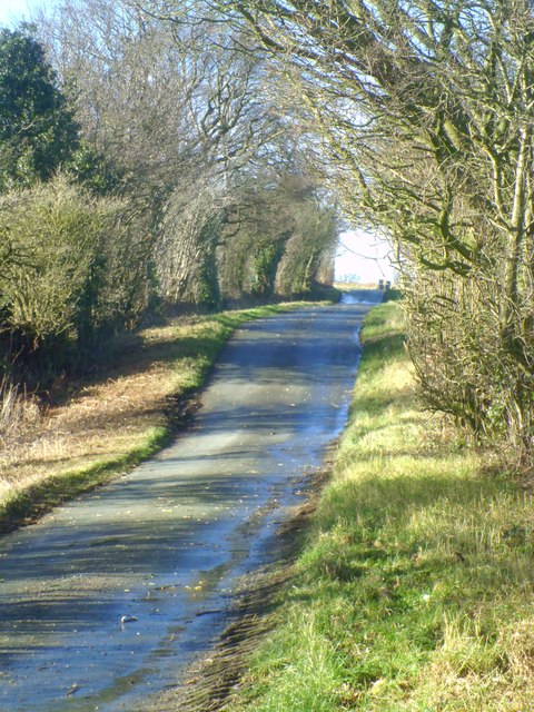
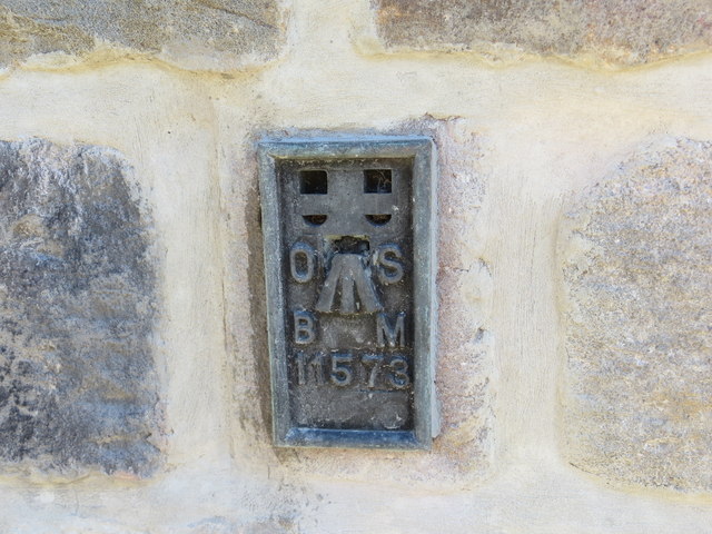
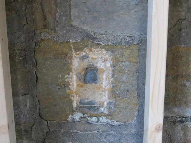
Images are sourced within 2km of 54.151297/-1.6692521 or Grid Reference SE2172. Thanks to Geograph Open Source API. All images are credited.

The entrance to The Willows
Kirk Bank Minor lane heading west from Kirkby Malzeard.
Kirk Bank
Minor lane heading west from Kirkby Malzeard.
Road Junction, Kirkby Malzeard Road junction at the western end of Kirkby Malzeard village.
Road Junction, Kirkby Malzeard
Road junction at the western end of Kirkby Malzeard village.
Entering Kirkby Malzeard Entering the village from Laverton.
Entering Kirkby Malzeard
Entering the village from Laverton.
Bridleway to Kirkby Malzeard Bridleway from Foulgate to Kirkby Malzeard. This is probably an ancient track dating back to the medieval period when Kirkby was a market centre. The bridleway provides a through route to Lofthouse and upper Nidderdale.
Bridleway to Kirkby Malzeard
Bridleway from Foulgate to Kirkby Malzeard. This is probably an ancient track dating back to the medieval period when Kirkby was a market centre. The bridleway provides a through route to Lofthouse and upper Nidderdale.
Footbridge over Kex Beck Footbridge and ford at Kex Beck to the west of Kirkby Malzeard.
Footbridge over Kex Beck
Footbridge and ford at Kex Beck to the west of Kirkby Malzeard.
Kirk Bank The lane running westwards from Kirkby Malzeard towards Bagwith House and the moor edge is known as Kirk Bank. Its straightness would suggest that it was aligned around the time of 19thC parliamentary enclosures, although it is probably close to the line of medieval trackways that led from the markets in Kirkby to Upper Nidderdale.
Kirk Bank
The lane running westwards from Kirkby Malzeard towards Bagwith House and the moor edge is known as Kirk Bank. Its straightness would suggest that it was aligned around the time of 19thC parliamentary enclosures, although it is probably close to the line of medieval trackways that led from the markets in Kirkby to Upper Nidderdale.
Kirk Bank Country lane that runs west from Kirkby Malzeard towards the moor edge. The lane is mostly straight, as are the field boundaries to either side, suggesting a 19thC enclosure road.
Kirk Bank
Country lane that runs west from Kirkby Malzeard towards the moor edge. The lane is mostly straight, as are the field boundaries to either side, suggesting a 19thC enclosure road.
Road junction in Kirkby Malzeard Looking eastward.
Road junction in Kirkby Malzeard
Looking eastward.
Ordnance Survey Flush Bracket 11573 This re-sited Bracket can be found on the wall of a newly extended building at The Moorhouse - formerly the Drovers Inn.
For more detail see : <span class="nowrap"><a title="http://www.bench-marks.org.uk/bm22378" rel="nofollow ugc noopener" href="http://www.bench-marks.org.uk/bm22378">Link</a><img style="margin-left:2px;" alt="External link" title="External link - shift click to open in new window" src="https://s1.geograph.org.uk/img/external.png" width="10" height="10"/></span>
Ordnance Survey Flush Bracket 11573
This re-sited Bracket can be found on the wall of a newly extended building at The Moorhouse - formerly the Drovers Inn. For more detail see : LinkExternal link
The original location of the now re-sited Ordnance Survey Flush Bracket 11573 The wall of the former Drovers Inn.
For more detail see : <span class="nowrap"><a title="http://www.bench-marks.org.uk/bm22378" rel="nofollow ugc noopener" href="http://www.bench-marks.org.uk/bm22378">Link</a><img style="margin-left:2px;" alt="External link" title="External link - shift click to open in new window" src="https://s1.geograph.org.uk/img/external.png" width="10" height="10"/></span>
The original location of the now re-sited Ordnance Survey Flush Bracket 11573
The wall of the former Drovers Inn. For more detail see : LinkExternal link
New Building at the former Drovers Inn The re-position Ordnance Survey Flush Bracket 11573 is visible on the new wall.
For more detail see : <span class="nowrap"><a title="http://www.bench-marks.org.uk/bm22378" rel="nofollow ugc noopener" href="http://www.bench-marks.org.uk/bm22378">Link</a><img style="margin-left:2px;" alt="External link" title="External link - shift click to open in new window" src="https://s1.geograph.org.uk/img/external.png" width="10" height="10"/></span>
New Building at the former Drovers Inn
The re-position Ordnance Survey Flush Bracket 11573 is visible on the new wall. For more detail see : LinkExternal link
Ordnance Survey Flush Bracket S0409 This can be found on the roadside wall of a house in Kirkby Malzeard.
For more detail see : <span class="nowrap"><a title="http://www.bench-marks.org.uk/bm11417" rel="nofollow ugc noopener" href="http://www.bench-marks.org.uk/bm11417">Link</a><img style="margin-left:2px;" alt="External link" title="External link - shift click to open in new window" src="https://s1.geograph.org.uk/img/external.png" width="10" height="10"/></span>
Ordnance Survey Flush Bracket S0409
This can be found on the roadside wall of a house in Kirkby Malzeard. For more detail see : LinkExternal link
Ford at Belford This ford on the River Laver is found on Belford Lane, a byway leading to Hedge Nook.
Ford at Belford
This ford on the River Laver is found on Belford Lane, a byway leading to Hedge Nook.
Ford at Hedge Nook This ford is found on Aresmor Beck on a byway called Appleby Lane at Hedge Nook.
Ford at Hedge Nook
This ford is found on Aresmor Beck on a byway called Appleby Lane at Hedge Nook.
Ford at Hedge Nook This ford is found on Aresmor Beck along Drift Lane at Hedge Nook.
Ford at Hedge Nook
This ford is found on Aresmor Beck along Drift Lane at Hedge Nook.
An hillside Farm One of many hill farms in this area.
An hillside Farm
One of many hill farms in this area.
Track leading to Lady Hill Track leaving the lane beside Lady Hill Farm
Track leading to Lady Hill
Track leaving the lane beside Lady Hill Farm
Show me another place!

Mossy Mire Wood is located at Grid Ref: SE2172 (Lat: 54.151297, Lng: -1.6692521)

Division: West Riding

Administrative County: North Yorkshire

District: Harrogate

Police Authority: North Yorkshire

What 3 Words

///makeup.encoder.palettes. Near Masham, North Yorkshire

Related Wikis

Laverton, North Yorkshire

Laverton is a village and civil parish in the Harrogate district of North Yorkshire, England, about 7 miles (11 km) west of Ripon. The population of this...

Kirkby Malzeard

Kirkby Malzeard () is a village and civil parish in the Harrogate district of North Yorkshire, England. There has been a creamery in the village making...

Grantley, North Yorkshire

Grantley is a village (also known as High Grantley) and civil parish in North Yorkshire, England. It lies 5 miles (8 km) west of Ripon. The parish also...

Dallowgill

Dallowgill (historically also Dallaghill) is a village in Harrogate district in North Yorkshire, England. It consists of a number of scattered settlements...

Galphay

Galphay (traditionally pronounced [ˈgɔ:fə] GAW-fə) is a village in North Yorkshire, England. It is situated in the Nidderdale Area of Outstanding Natural...

Grewelthorpe

Grewelthorpe is a village and civil parish in the Harrogate district of North Yorkshire, England situated 3 miles (5 km) south of Masham and 6.2 miles...

Winksley

Winksley is a small village and civil parish in the district of Harrogate, North Yorkshire, England. It is situated west of Ripon, and is on the River...

Grantley Hall

Grantley Hall is a English country house located in North Yorkshire, England. It is situated near Grantley, about 5 miles (8 km) to the west of Ripon,...

Nearby Amenities

Located within 500m of 54.151297,-1.6692521
Place: farm
Lat/Long: 54.1498059/-1.6713474
Building: yes
Lat/Long: 54.1490518/-1.6642664
Ford: yes
Lat/Long: 54.148361/-1.6641484
The data included in this document is from www.openstreetmap.org. The data is made available under ODbL.

Have you been to Mossy Mire Wood?

Leave your review of Mossy Mire Wood below (or comments, questions and feedback).