Thicket Copse
Wood, Forest in Wiltshire
England
Thicket Copse
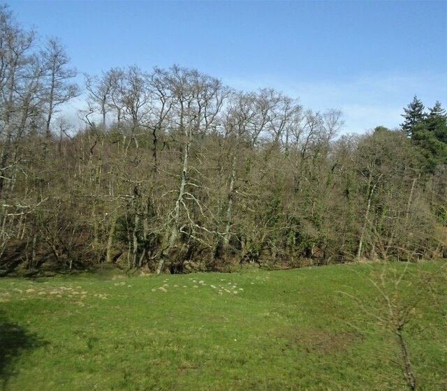
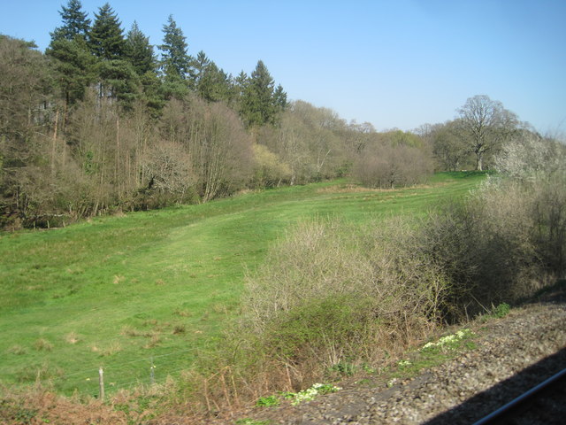
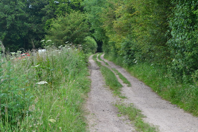
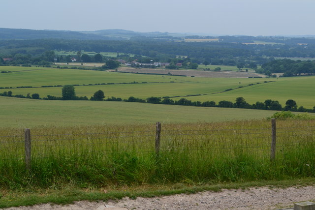
Thicket Copse is a picturesque woodland located in the county of Wiltshire, England. Situated on the edge of the Salisbury Plain, this enchanting forest covers an area of approximately 100 acres and is renowned for its natural beauty and diverse ecosystem.
The copse is predominantly composed of broadleaf trees, including oak, beech, and ash, which create a dense canopy, providing shelter for a wide range of flora and fauna. The forest floor is carpeted with a rich assortment of wildflowers, ferns, and mosses, offering a vibrant and colorful display throughout the seasons.
Thicket Copse is a popular destination for nature enthusiasts and walkers, who can explore the numerous trails and pathways that meander through the woodland. These pathways lead visitors to discover hidden clearings, babbling brooks, and small ponds, adding to the charm and tranquility of the area.
The copse is also home to a variety of wildlife, including deer, badgers, and foxes, which can often be spotted by observant visitors. Birdwatchers are treated to a symphony of songbirds, such as blackbirds, thrushes, and warblers, as well as the occasional sighting of raptors soaring above the treetops.
Thicket Copse is a cherished natural gem in Wiltshire, offering a peaceful retreat from the hustle and bustle of everyday life. Its stunning beauty and abundance of wildlife make it an ideal location for nature lovers and those seeking solace in the great outdoors.
If you have any feedback on the listing, please let us know in the comments section below.
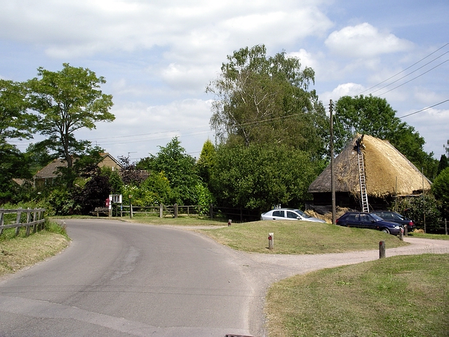
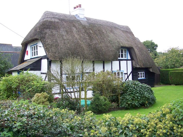
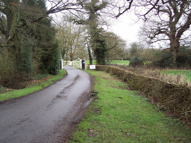
Thicket Copse Images
Images are sourced within 2km of 51.040204/-1.691866 or Grid Reference SU2126. Thanks to Geograph Open Source API. All images are credited.


Thicket Copse is located at Grid Ref: SU2126 (Lat: 51.040204, Lng: -1.691866)
Unitary Authority: Wiltshire
Police Authority: Wiltshire
What 3 Words
///booklets.chambers.globe. Near Alderbury, Wiltshire
Nearby Locations
Related Wikis

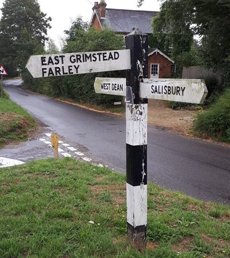
Grimstead
Grimstead is a civil parish on the River Dun in Wiltshire, England, to the south-east of Salisbury. Its settlements are the villages of East Grimstead...

West Grimstead
West Grimstead is a village in the civil parish of Grimstead, on the River Dun in Wiltshire, England, about 4.5 miles (7.2 km) southeast of Salisbury....
East Grimstead
East Grimstead is a village in the civil parish of Grimstead, on the River Dun in Wiltshire, England, about 5 miles (8.0 km) east of Salisbury. The village...

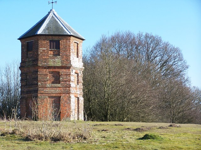
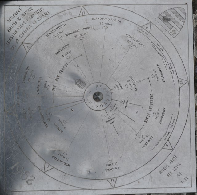
The Pepperbox
The Pepperbox, also known as Eyre's Folly, is a folly tower that stands near the highest point on Pepperbox Hill, the peak of a chalk ridge about 5 miles...
Farley, Wiltshire
Farley is a village in southeast Wiltshire, England, about 5 miles (8.0 km) east of Salisbury. == Geography == Farley is one of the Dun Valley villages...
Clarendon Park, Wiltshire
Clarendon Park is a Grade I listed building, estate and civil parish near Salisbury in Wiltshire, England. At the 2011 census the population of the parish...

Alderbury
Alderbury is a village and civil parish in Wiltshire, England, in the south of the county around 3 miles (5 km) southeast of Salisbury.The parish includes...

Blackmoor Copse
Blackmoor Copse (grid reference SU234292) is a woodland in southeast Wiltshire, England, managed as a nature reserve by the Wiltshire Wildlife Trust. The...
Nearby Amenities
Located within 500m of 51.040204,-1.691866Have you been to Thicket Copse?
Leave your review of Thicket Copse below (or comments, questions and feedback).