Stormy Bushes
Wood, Forest in Hampshire New Forest
England
Stormy Bushes
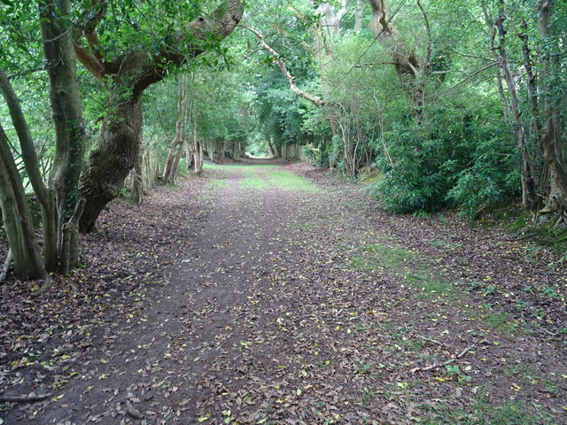
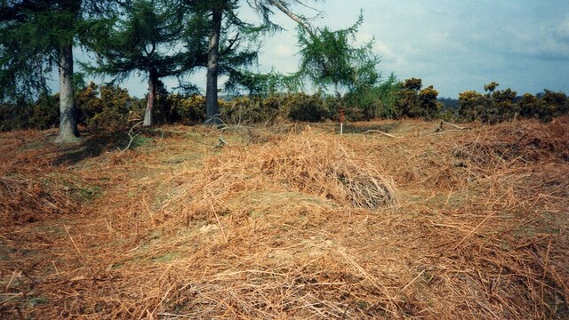
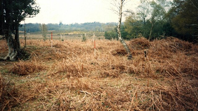
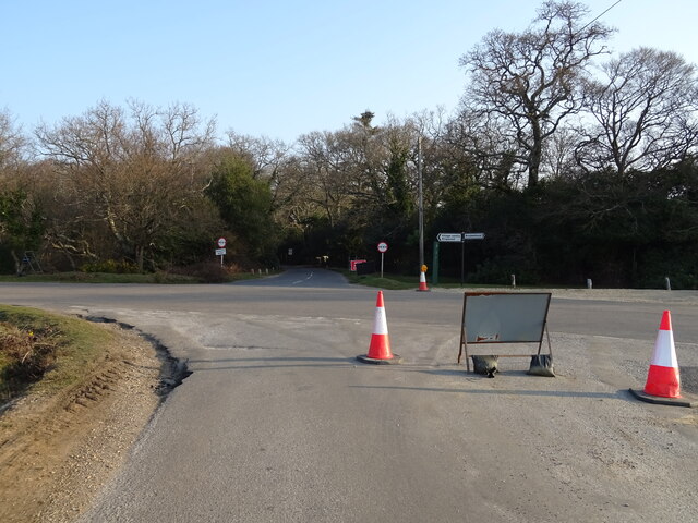
Stormy Bushes is a picturesque wood located in Hampshire, England. Situated within the larger Forest of Hampshire, this enchanting woodland covers an area of approximately 100 acres. The forest is predominantly made up of dense bushes and trees, creating a serene and peaceful environment for visitors to immerse themselves in nature.
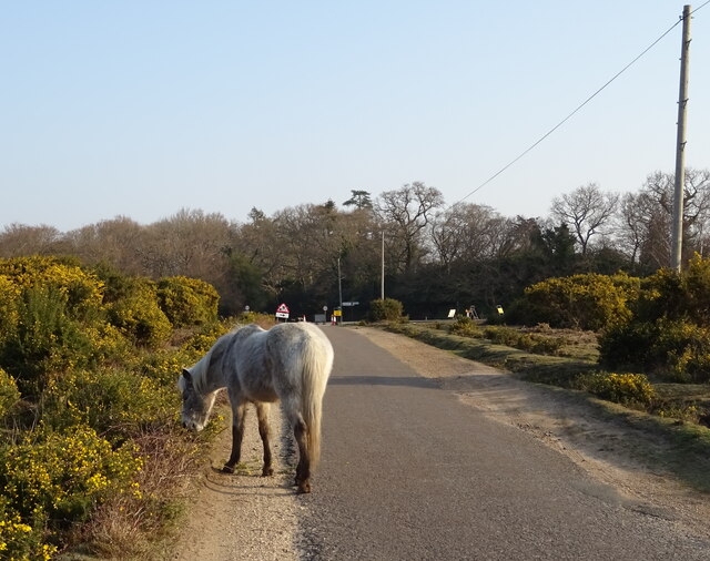
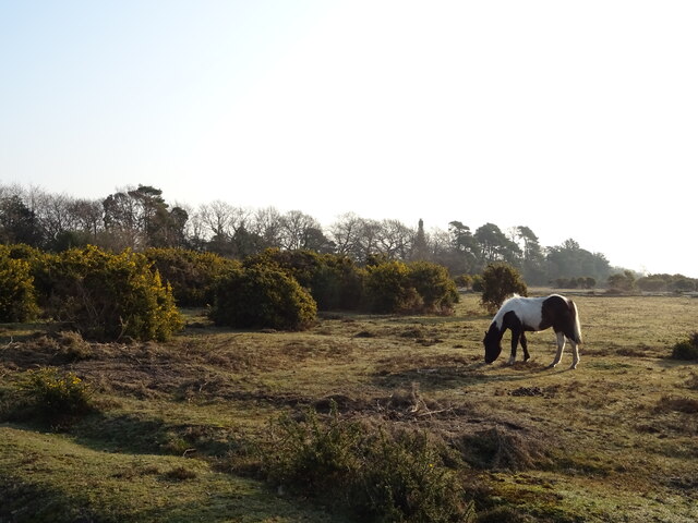
The name "Stormy Bushes" is derived from the area's reputation for being particularly windy, with gusts often rustling through the trees. This adds an element of excitement and adventure to the forest's charm. The woodland is also known for its rich biodiversity, housing a diverse range of plant and animal species.
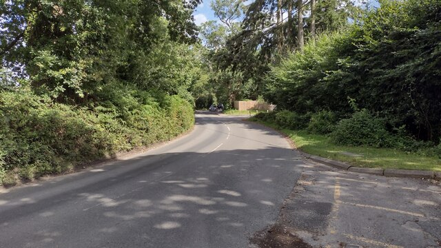
Visitors to Stormy Bushes can explore a network of well-maintained walking trails that wind through the wood. These trails offer a variety of routes, catering to different fitness levels and interests. Whether one prefers a short leisurely stroll or a longer, more challenging hike, there is a path suitable for everyone.
The forest is a haven for wildlife enthusiasts, with numerous bird species, small mammals, and insects calling this woodland home. Many visitors have reported spotting elusive creatures such as deer and foxes during their walks. The forest floor is covered in a lush carpet of moss and ferns, adding to the ethereal beauty of the surroundings.
Stormy Bushes is also popular with photographers and artists, who are drawn to the enchanting ambiance and natural beauty of the woodland. The changing seasons transform the forest, providing an ever-changing canvas for creative expression.
Overall, Stormy Bushes in Hampshire offers a captivating and immersive experience for nature lovers, hikers, and artists alike. Its unique name, diverse wildlife, and serene atmosphere make it a must-visit destination for those seeking solace in the beauty of the natural world.
If you have any feedback on the listing, please let us know in the comments section below.
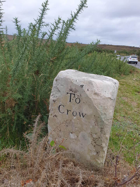
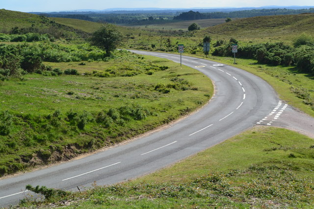
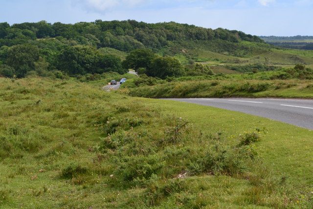
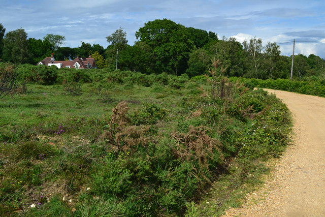
Stormy Bushes Images
Images are sourced within 2km of 50.836189/-1.6932245 or Grid Reference SU2104. Thanks to Geograph Open Source API. All images are credited.
Stormy Bushes is located at Grid Ref: SU2104 (Lat: 50.836189, Lng: -1.6932245)
Administrative County: Hampshire
District: New Forest
Police Authority: Hampshire
What 3 Words
///swing.relatives.scavenger. Near Burley, Hampshire
Nearby Locations
Related Wikis

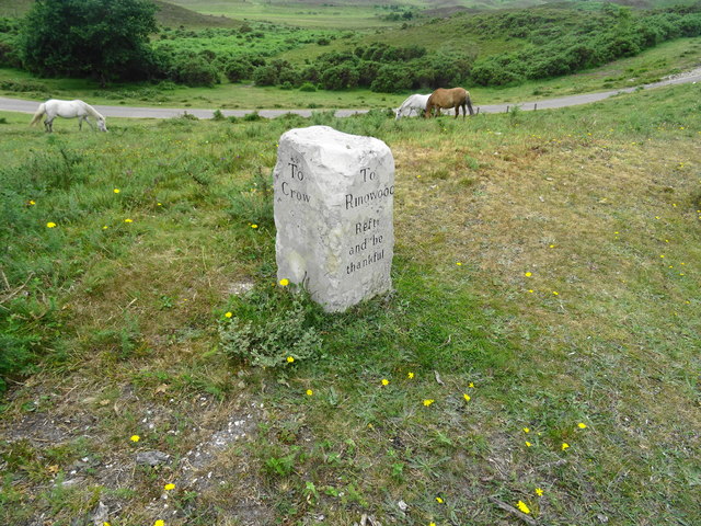
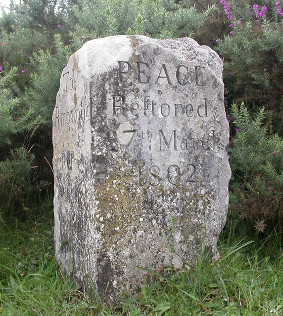
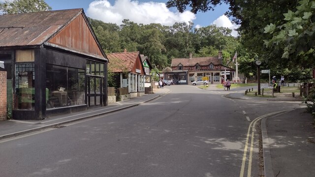
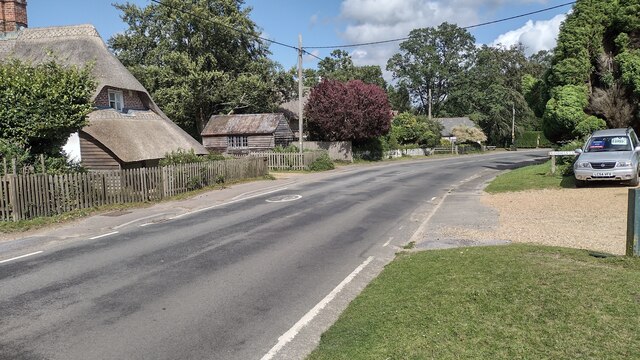
Burley, Hampshire
Burley is a village and civil parish in the New Forest, Hampshire, England. It has ancient origins and is now somewhat tourist-orientated. == The village... ==

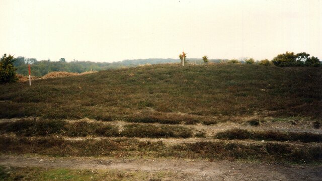
Castle Hill, Hampshire
Castle Hill is the site of an Iron Age univallate hillfort located in the civil parish of Burley in the New Forest national park in Hampshire, England...

Picket Post
Picket Post is a road junction and service area in the New Forest National Park of Hampshire, England. It lies on the A31 road. == Facilities == Picket...

Holmsley railway station
Holmsley is a closed railway station in the county of Hampshire which served rural settlements in the New Forest. == History == The station was opened...

Picket Hill
Picket Hill is a hamlet next to Picket Post in the New Forest National Park of Hampshire, England. It lies on the outskirts of Ringwood.
Shobley
Shobley is a small hamlet in the New Forest National Park of Hampshire, England. Its nearest town is Ringwood, which lies approximately 1.8 miles (2.9...
Forest Corner
Forest Corner is a village in the New Forest National Park of Hampshire, England. It is on the A31 road travelling between Southampton and Bournemouth...

Bolderwood, Hampshire
Bolderwood is an area of the New Forest in Hampshire. Bolderwood hosts a deer sanctuary with a public deer observation platform. As a result, the public...
Nearby Amenities
Located within 500m of 50.836189,-1.6932245Have you been to Stormy Bushes?
Leave your review of Stormy Bushes below (or comments, questions and feedback).