Burley Moor
Downs, Moorland in Hampshire New Forest
England
Burley Moor
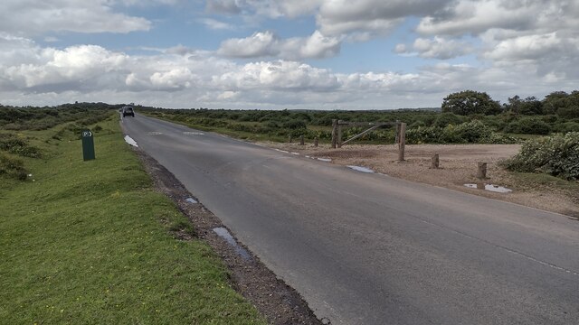
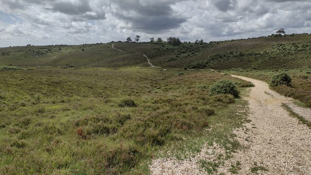
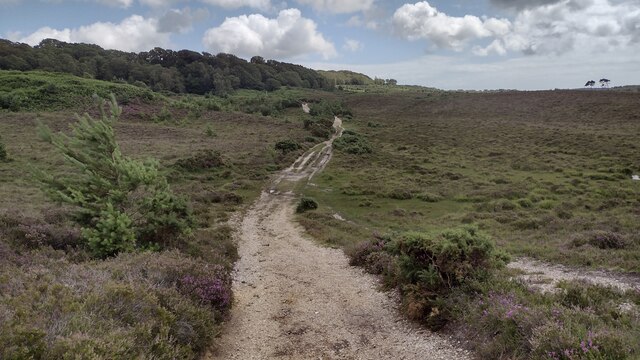
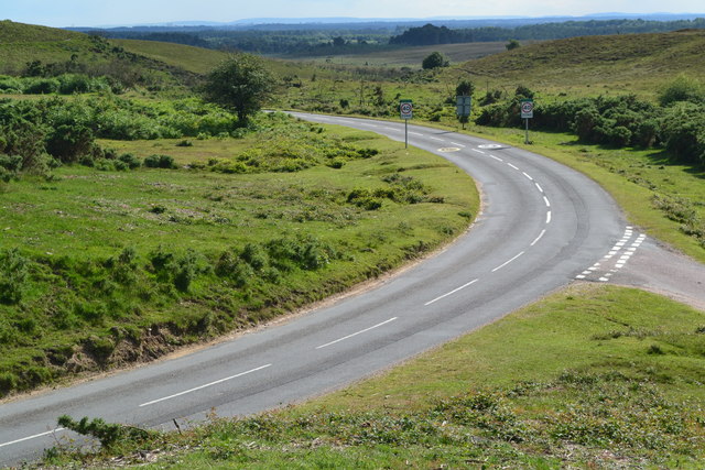
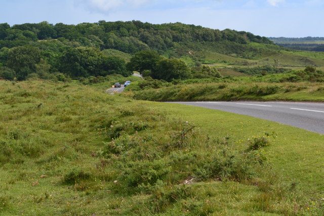
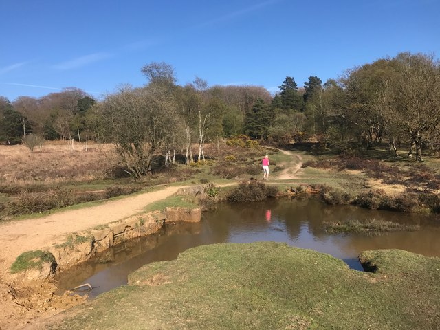
Burley Moor is a picturesque area located in Hampshire, England. Situated on the southern edge of the New Forest National Park, it encompasses a vast expanse of downland and moorland landscapes. Known for its breathtaking beauty and diverse wildlife, Burley Moor offers visitors a unique and tranquil experience.
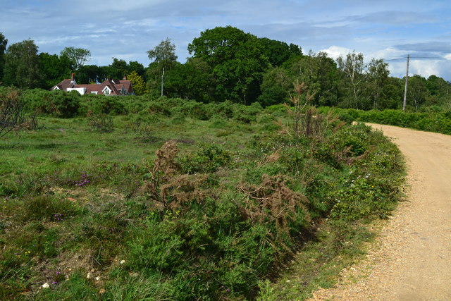
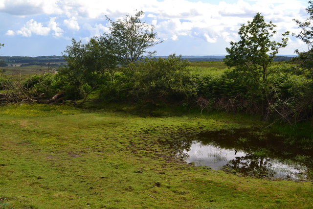
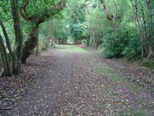
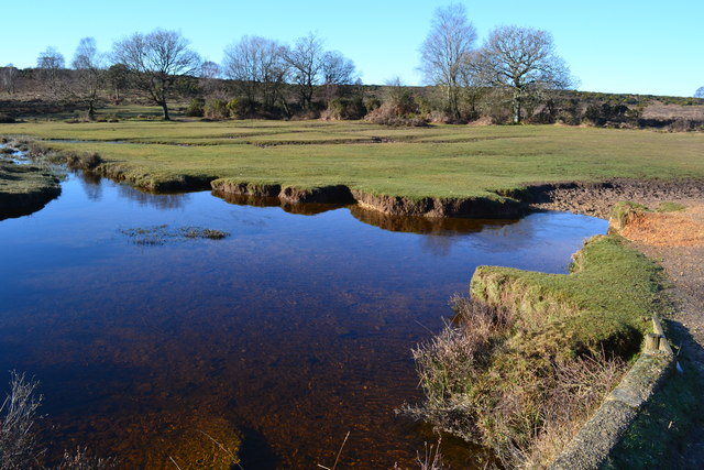
The terrain of Burley Moor is characterized by rolling hills, heather-covered moorland, and scattered patches of woodland. The area is rich in biodiversity, with an array of plant species such as gorse, broom, and bell heather adorning the landscape. These vibrant flora attract various species of birds, including the rare Dartford warbler and the beautiful stonechat.
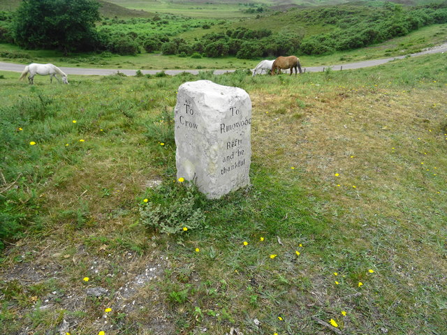
The moorland is also home to a variety of animals, including wild ponies and grazing cattle, which can often be spotted roaming freely. Through careful management, the area has become a haven for wildlife, providing a sanctuary for species such as adders, lizards, and a wide range of insects.
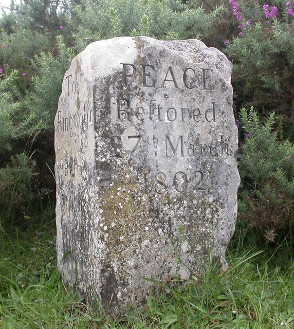
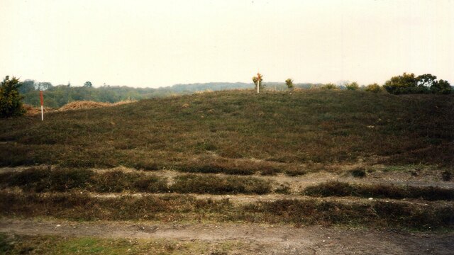
The scenic beauty of Burley Moor is further enhanced by its historical significance. The area is dotted with ancient burial mounds and evidence of prehistoric settlements, adding a sense of intrigue and mystery to the landscape. Additionally, the moorland has been used for centuries as common land, with locals exercising their right to graze their animals.
Burley Moor offers a range of activities for visitors, including walking, hiking, and birdwatching. The network of footpaths and bridleways allows visitors to explore the area and enjoy its natural wonders. With its unspoiled beauty, rich wildlife, and historical significance, Burley Moor is a must-visit destination for nature enthusiasts and history lovers alike.
If you have any feedback on the listing, please let us know in the comments section below.
Burley Moor Images
Images are sourced within 2km of 50.838896/-1.7000093 or Grid Reference SU2104. Thanks to Geograph Open Source API. All images are credited.
Burley Moor is located at Grid Ref: SU2104 (Lat: 50.838896, Lng: -1.7000093)
Administrative County: Hampshire
District: New Forest
Police Authority: Hampshire
What 3 Words
///held.quiet.scored. Near Burley, Hampshire
Nearby Locations
Related Wikis

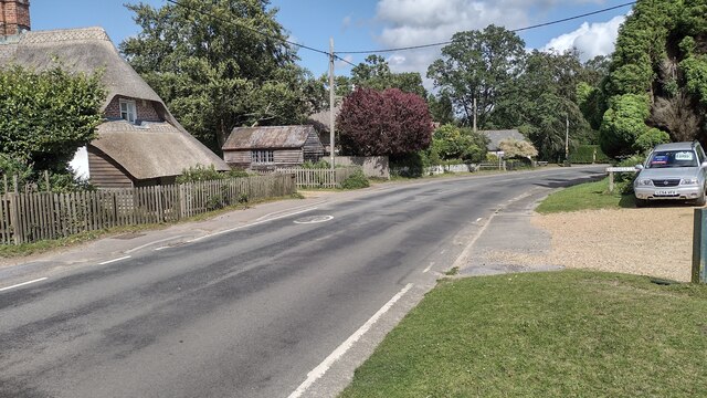
Burley, Hampshire
Burley is a village and civil parish in the New Forest, Hampshire, England. It has ancient origins and is now somewhat tourist-orientated. == The village... ==

Castle Hill, Hampshire
Castle Hill is the site of an Iron Age univallate hillfort located in the civil parish of Burley in the New Forest national park in Hampshire, England...

Picket Post
Picket Post is a road junction and service area in the New Forest National Park of Hampshire, England. It lies on the A31 road. == Facilities == Picket...

Picket Hill
Picket Hill is a hamlet next to Picket Post in the New Forest National Park of Hampshire, England. It lies on the outskirts of Ringwood.
Shobley
Shobley is a small hamlet in the New Forest National Park of Hampshire, England. Its nearest town is Ringwood, which lies approximately 1.8 miles (2.9...
Forest Corner
Forest Corner is a village in the New Forest National Park of Hampshire, England. It is on the A31 road travelling between Southampton and Bournemouth...
Linford, Hampshire
Linford is a hamlet in the New Forest district of Hampshire, England, close to the market town of Ringwood. It is about 1.5 miles east of Ringwood. It...

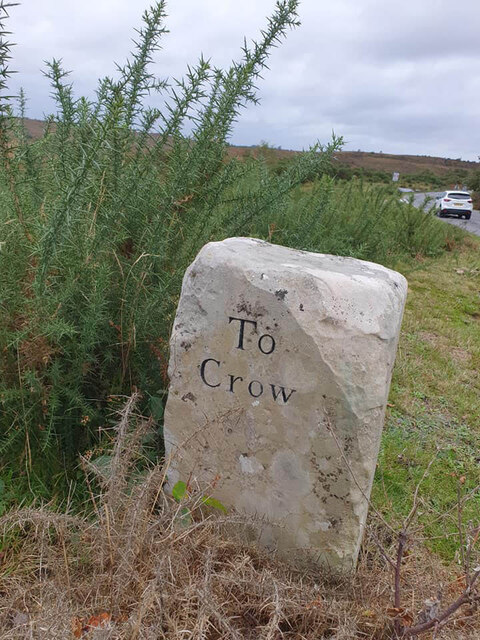
Crow, Hampshire
Crow is a small village situated in the New Forest National Park in Hampshire, England. Its nearest town is Ringwood, which lies approximately 1 mile...
Nearby Amenities
Located within 500m of 50.838896,-1.7000093Have you been to Burley Moor?
Leave your review of Burley Moor below (or comments, questions and feedback).