Ward's Plantation
Wood, Forest in Hampshire New Forest
England
Ward's Plantation
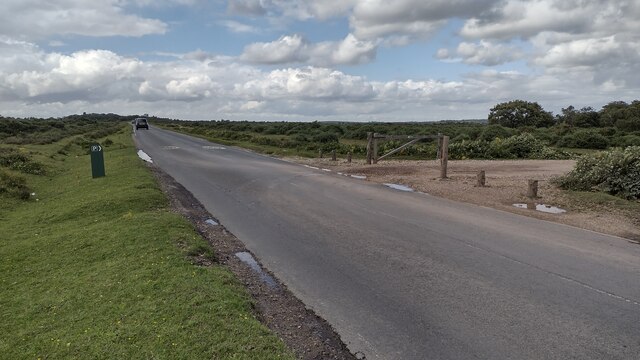
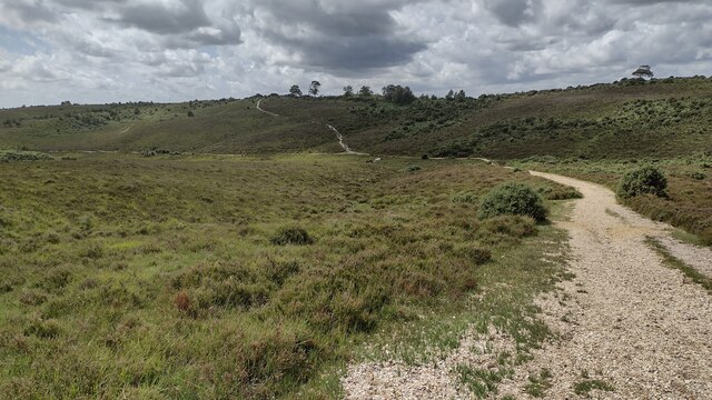
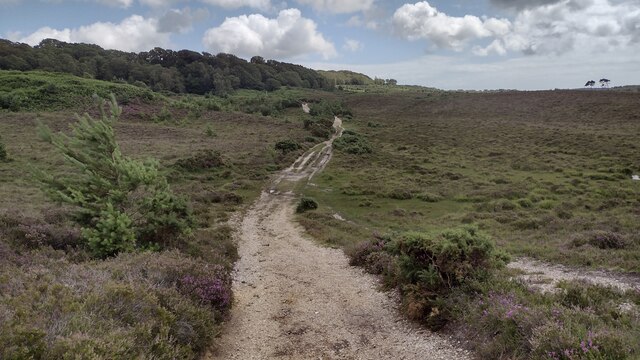
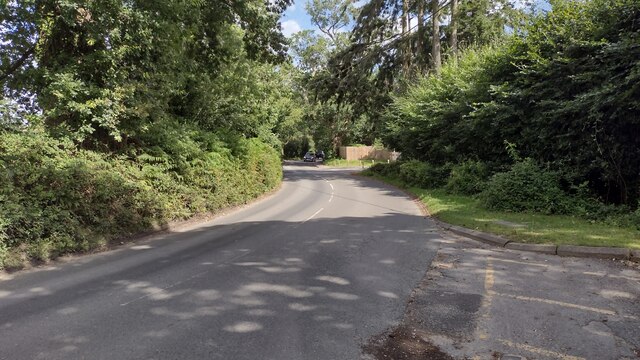
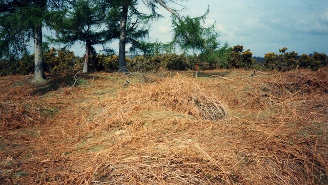
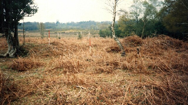
Ward's Plantation, located in Hampshire, is a stunning woodland area known for its natural beauty and rich history. Spread across a vast expanse, it is a popular destination for nature enthusiasts and those seeking tranquility amidst the greenery.
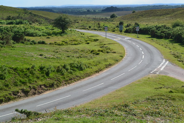
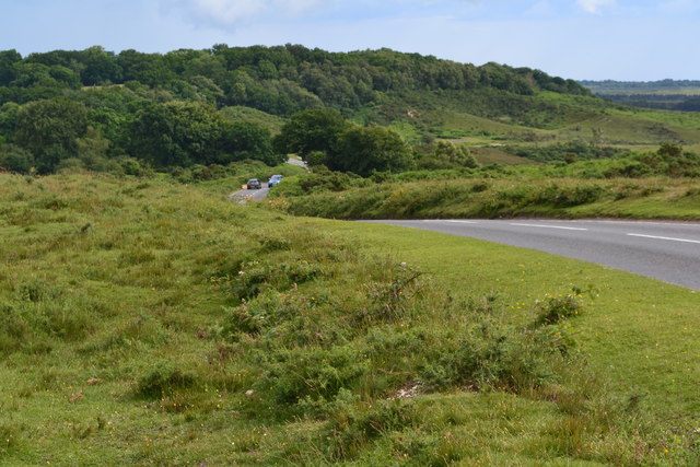
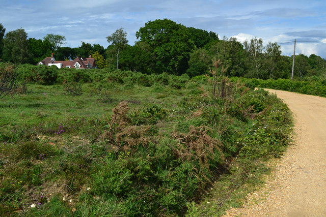
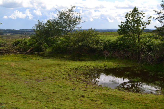
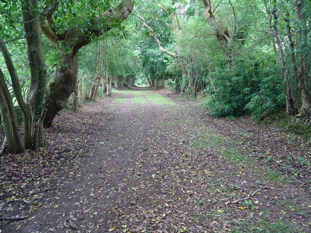
The plantation is characterized by its dense woodland, mainly consisting of tall oak and beech trees that create a picturesque canopy overhead. The forest floor is covered with a variety of plant species, including bluebells, ferns, and mosses, adding to the enchanting atmosphere of the area. Numerous walking trails wind through the plantation, allowing visitors to explore and immerse themselves in the serene surroundings.
Ward's Plantation holds historical significance as it was formerly part of an estate owned by the influential Ward family. The remnants of an 18th-century manor house can still be found within the woodland, serving as a reminder of the area's past. The plantation has been carefully preserved and maintained by the local authorities, ensuring the conservation of its natural heritage and historical elements.
The plantation is home to a diverse array of wildlife, making it a haven for nature lovers and birdwatchers. Visitors may spot various bird species, such as woodpeckers and owls, as well as mammals like deer and squirrels. The peaceful ambiance of the woodland also attracts photographers and artists seeking inspiration from its scenic vistas.
In summary, Ward's Plantation is a captivating woodland area in Hampshire, renowned for its natural beauty, historical significance, and abundant wildlife. It offers a serene and rejuvenating experience for visitors looking to connect with nature and explore the region's rich heritage.
If you have any feedback on the listing, please let us know in the comments section below.
Ward's Plantation Images
Images are sourced within 2km of 50.836151/-1.7027961 or Grid Reference SU2104. Thanks to Geograph Open Source API. All images are credited.
Ward's Plantation is located at Grid Ref: SU2104 (Lat: 50.836151, Lng: -1.7027961)
Administrative County: Hampshire
District: New Forest
Police Authority: Hampshire
What 3 Words
///carry.magazines.reporting. Near Burley, Hampshire
Nearby Locations
Related Wikis

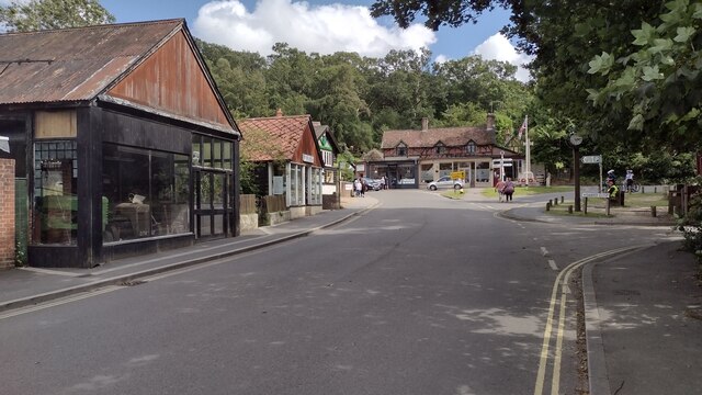
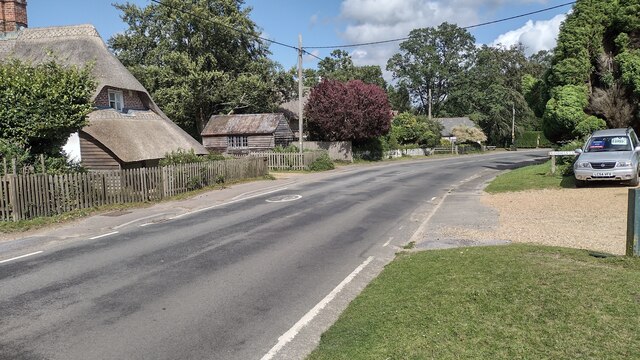
Burley, Hampshire
Burley is a village and civil parish in the New Forest, Hampshire, England. It has ancient origins and is now somewhat tourist-orientated. == The village... ==

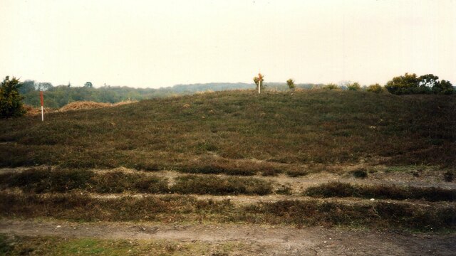
Castle Hill, Hampshire
Castle Hill is the site of an Iron Age univallate hillfort located in the civil parish of Burley in the New Forest national park in Hampshire, England...

Picket Post
Picket Post is a road junction and service area in the New Forest National Park of Hampshire, England. It lies on the A31 road. == Facilities == Picket...

Picket Hill
Picket Hill is a hamlet next to Picket Post in the New Forest National Park of Hampshire, England. It lies on the outskirts of Ringwood.
Shobley
Shobley is a small hamlet in the New Forest National Park of Hampshire, England. Its nearest town is Ringwood, which lies approximately 1.8 miles (2.9...
Forest Corner
Forest Corner is a village in the New Forest National Park of Hampshire, England. It is on the A31 road travelling between Southampton and Bournemouth...
Bagnum
Bagnum is a hamlet in the English county of Hampshire. The settlement is within the civil parish of Ringwood (where the 2011 Census was included), and...

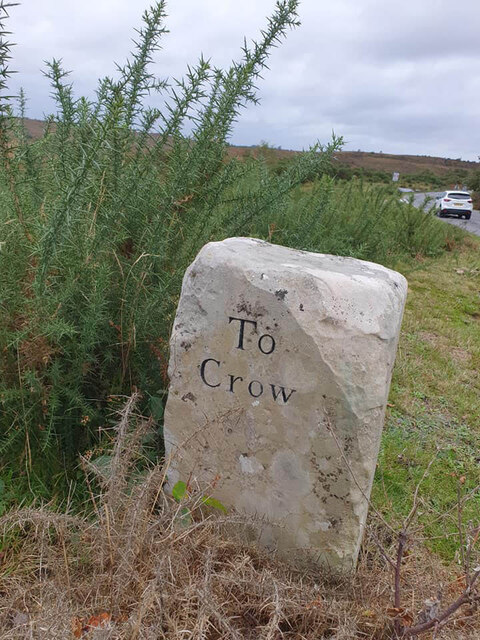
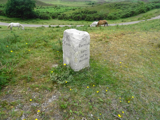
Crow, Hampshire
Crow is a small village situated in the New Forest National Park in Hampshire, England. Its nearest town is Ringwood, which lies approximately 1 mile...
Nearby Amenities
Located within 500m of 50.836151,-1.7027961Have you been to Ward's Plantation?
Leave your review of Ward's Plantation below (or comments, questions and feedback).