Toytop Fox Covert
Wood, Forest in Durham
England
Toytop Fox Covert
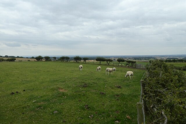
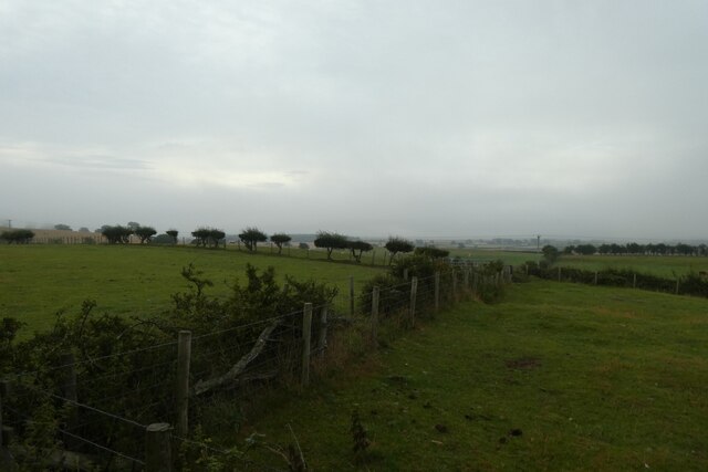
Toytop Fox Covert is a scenic woodland located in Durham, England. Situated within the wider Fox Covert, the area offers a serene and enchanting environment for nature lovers and outdoor enthusiasts. The woodland is predominantly composed of various species of trees, creating a lush and verdant setting.
Covering an expansive area, Toytop Fox Covert is home to a diverse range of wildlife, including foxes, rabbits, squirrels, and numerous species of birds. The woodland provides a rich habitat for these animals, with its dense foliage and ample food sources.
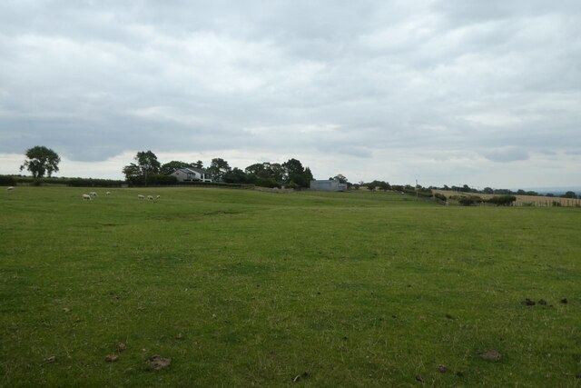
Visitors to Toytop Fox Covert can enjoy a tranquil and peaceful atmosphere, ideal for relaxation and exploration. The woodland offers numerous walking trails and paths, allowing visitors to immerse themselves in its natural beauty. The paths wind through the woodland, guiding visitors through picturesque landscapes and offering opportunities for birdwatching and wildlife spotting.
The woodland is well-maintained, with clear signage and maps available to help visitors navigate the area. Picnic areas are scattered throughout the woodland, providing the perfect spot for a leisurely lunch amidst the sights and sounds of nature.
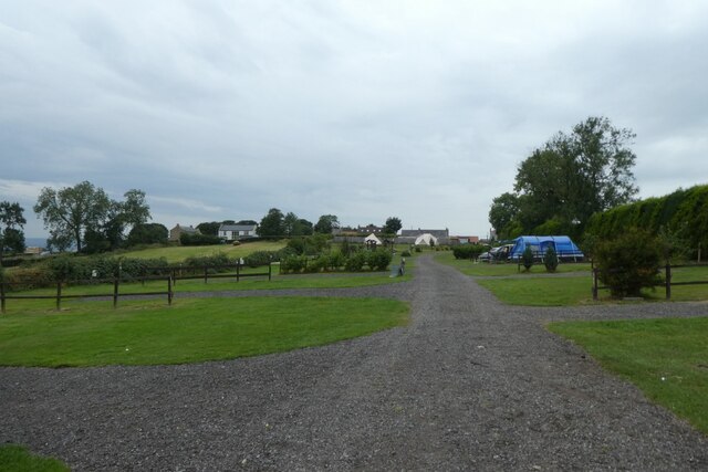
Toytop Fox Covert is a popular destination for families, nature lovers, and those seeking a break from the hustle and bustle of city life. Its accessibility and stunning natural surroundings make it an ideal location for outdoor activities such as hiking, birdwatching, and photography.
Overall, Toytop Fox Covert offers a captivating woodland experience, showcasing the beauty of Durham's natural landscapes and providing a haven for wildlife and visitors alike.
If you have any feedback on the listing, please let us know in the comments section below.
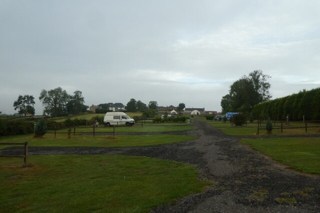
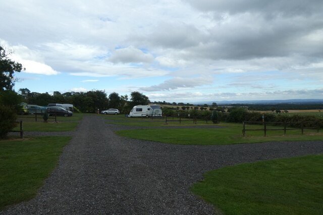
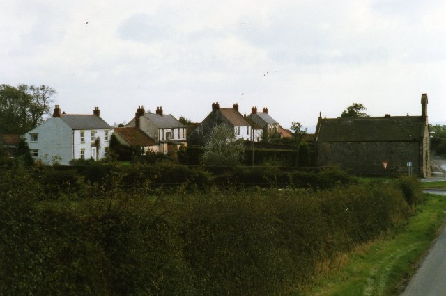
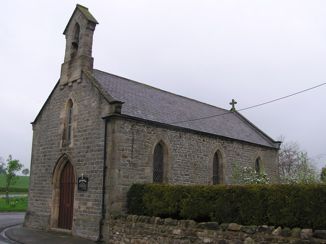
Toytop Fox Covert Images
Images are sourced within 2km of 54.601229/-1.6760361 or Grid Reference NZ2122. Thanks to Geograph Open Source API. All images are credited.


Toytop Fox Covert is located at Grid Ref: NZ2122 (Lat: 54.601229, Lng: -1.6760361)
Unitary Authority: Darlington
Police Authority: Durham
What 3 Words
///divided.ballroom.grins. Near Denton, Co. Durham
Nearby Locations
Related Wikis

Legs Cross
Legs Cross is an Anglo-Saxon cross in the parish of Bolam, County Durham, England, about 4 miles (6.4 km) north of Piercebridge on the Pilgrims' Way (the...

Royal Oak, County Durham
Royal Oak is a hamlet in the west of Heighington civil parish, in the Borough of Darlington, County Durham, in England. It is situated to the north west...

Bolam, County Durham
Bolam is a small village located in County Durham, England. The village population (including Hilton and Morton Tinmouth) at the 2011 census was 209. It...

Bildershaw
Bildershaw is a village in County Durham, England. It is situated on the A68 road between Darlington and West Auckland. Bildershaw is primarily an agricultural...
Have you been to Toytop Fox Covert?
Leave your review of Toytop Fox Covert below (or comments, questions and feedback).