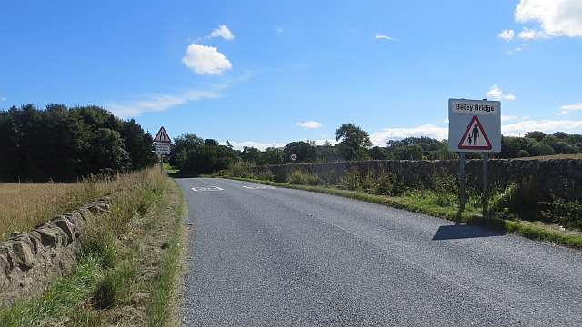
Beleybridge

Settlement in Fife

Scotland

Beleybridge

Pulpit steps A flight of stone steps leading up from Dunino Den to what is said to have been a Druidic pulpit overlooking the Den <a href="https://www.geograph.org.uk/photo/166205">NO5310 : Dunino Den and steps</a>
Pulpit steps Credit: James Allan

Beleybridge is a small village located in the county of Fife, Scotland. Situated on the eastern coast of the country, it is nestled between the towns of St Andrews and Anstruther. The village is home to a population of approximately 500 residents, making it a close-knit and tight community.

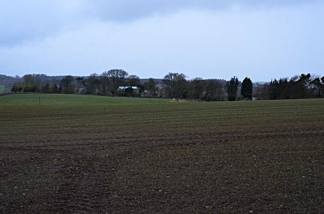
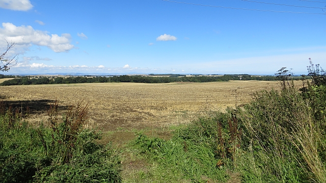
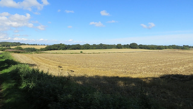
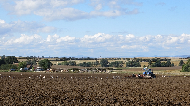
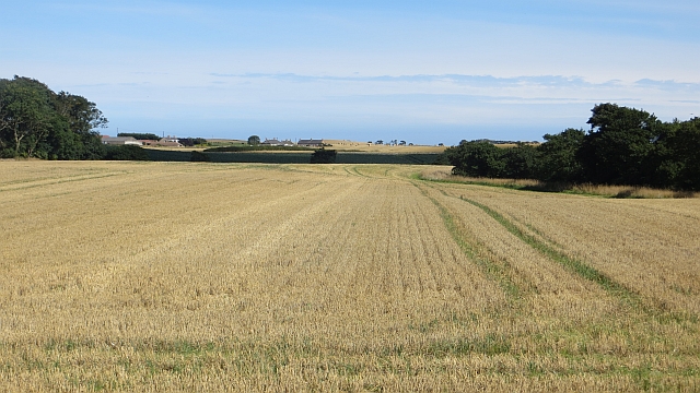
Beleybridge boasts stunning natural beauty, with its picturesque rolling hills and breathtaking views of the North Sea. The village is surrounded by lush green fields and farmland, creating a peaceful and serene atmosphere. The nearby coastline offers sandy beaches and rocky cliffs, providing both residents and visitors with opportunities for leisurely walks and outdoor activities.

The village itself is characterized by its charming stone houses and well-manicured gardens. Beleybridge has a quaint and welcoming feel, with a small but vibrant town center that features a few local shops, cafes, and pubs. The community is known for its strong sense of community spirit and its active involvement in various local events and initiatives.

Beleybridge is also rich in history, with several historical landmarks dotting the surrounding countryside. The ruins of an old castle can be found nearby, serving as a reminder of the village's medieval past. Additionally, Beleybridge is known for its connection to the fishing industry, with a small harbor that still sees some fishing activity today.

Overall, Beleybridge offers a peaceful and idyllic setting for those seeking a quiet and close-knit community, while still being within easy reach of larger towns and cities.

If you have any feedback on the listing, please let us know in the comments section below.
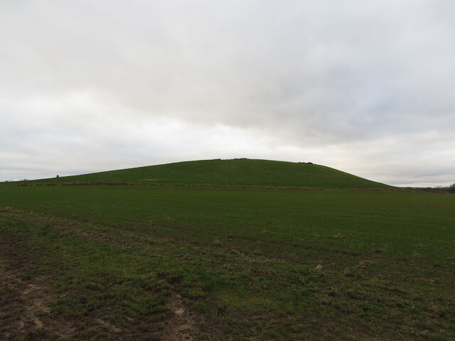
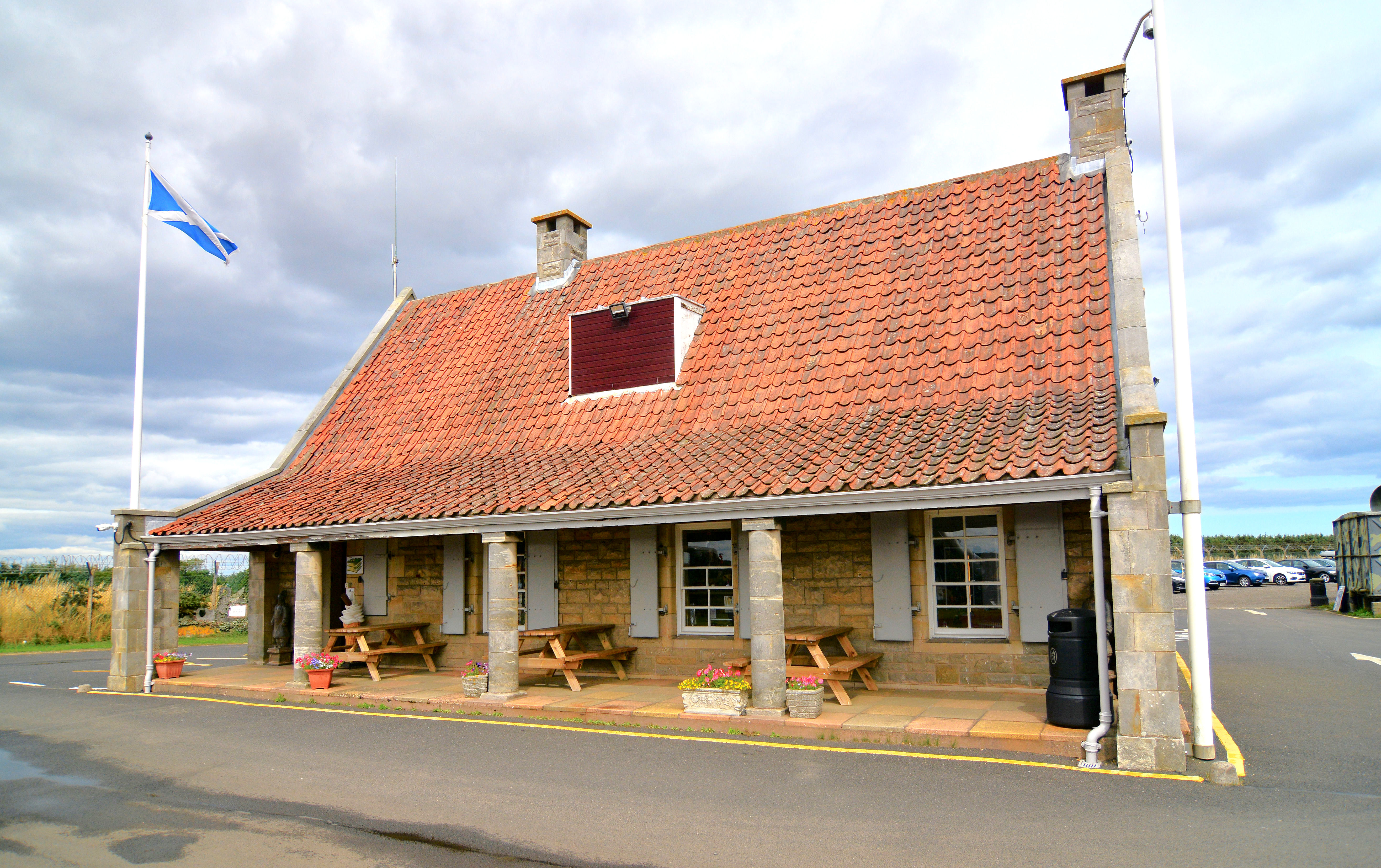
Beleybridge Images

Images are sourced within 2km of 56.280245/-2.7408571 or Grid Reference NO5410. Thanks to Geograph Open Source API. All images are credited.

Pulpit steps A flight of stone steps leading up from Dunino Den to what is said to have been a Druidic pulpit overlooking the Den <a href="https://www.geograph.org.uk/photo/166205">NO5310 : Dunino Den and steps</a>
Pulpit steps
A flight of stone steps leading up from Dunino Den to what is said to have been a Druidic pulpit overlooking the Den NO5310 : Dunino Den and steps
Brake farm From Chesters farm
Brake farm
From Chesters farm
Stubble, Beley Arable land on the ridge running the length of the East Neuk. The area is threatened by wind farmers and there are survey masts in several places. The locals are not impressed.
Stubble, Beley
Arable land on the ridge running the length of the East Neuk. The area is threatened by wind farmers and there are survey masts in several places. The locals are not impressed.
Stubble by The Brake
Cattle, Balkaithly Mixed farming on the higher ground along the ridge between Kenly and Lingo. The higher ground has attracted the wind farmers. There is much local opposition.
Cattle, Balkaithly
Mixed farming on the higher ground along the ridge between Kenly and Lingo. The higher ground has attracted the wind farmers. There is much local opposition.
Arable land near Dunino Higher ground and the farming is mixed with grazing cattle breaking up the arable land here and there.  Not all cereal growing either - brassica crops are also grown.
Arable land near Dunino
Higher ground and the farming is mixed with grazing cattle breaking up the arable land here and there. Not all cereal growing either - brassica crops are also grown.
Dunino Law Not quite as striking a feature as when seen from the north, but it still stands out in an otherwise undramatic landscape (other than the hidden dens).
Dunino Law
Not quite as striking a feature as when seen from the north, but it still stands out in an otherwise undramatic landscape (other than the hidden dens).
Arable land between Drumly and Swinkle View towards Dunino Law.
Arable land between Drumly and Swinkle
View towards Dunino Law.
Road to Kingsbarns Passing Swinkie.
Road to Kingsbarns
Passing Swinkie.
Road to Kingsbarns The road runs through a mixed farming landscape.
Road to Kingsbarns
The road runs through a mixed farming landscape.
Stubble A view over stubble towards the site of Dunino airfield by Upper Kenly. There is an anemometer mast here and there are plans to put 6 turbines here.
Stubble
A view over stubble towards the site of Dunino airfield by Upper Kenly. There is an anemometer mast here and there are plans to put 6 turbines here.
Brassica crop, Stravithie
Tree lined road, Stravithie Very dark and a bit of a shock after the bright sunlight outside.  The road is a potential rat run and has a weight limit on it.  It was very quiet on this Sunday afternoon.
Tree lined road, Stravithie
Very dark and a bit of a shock after the bright sunlight outside. The road is a potential rat run and has a weight limit on it. It was very quiet on this Sunday afternoon.
Harrowing, Bannafield Feeding time for the gulls in a field being prepared for winter cereals.
Harrowing, Bannafield
Feeding time for the gulls in a field being prepared for winter cereals.
B9131, Beley Bridge Not a Bailey Bridge, nor a belay from a bridge.
B9131, Beley Bridge
Not a Bailey Bridge, nor a belay from a bridge.
Stubble, Beleybridge
Line of trees View westward from the Dunino airfield perimeter track.
Line of trees
View westward from the Dunino airfield perimeter track.
Dunino Law A very unimpressive prominence of around 300 feet in height.
Dunino Law
A very unimpressive prominence of around 300 feet in height.
Show me another place!

Beleybridge is located at Grid Ref: NO5410 (Lat: 56.280245, Lng: -2.7408571)

Unitary Authority: Fife

Police Authority: Fife

What 3 Words

///tasks.same.realm. Near Anstruther, Fife

Nearby Locations

Beleybridge

Related Wikis

Dunino

See also Dunino, Poland.Dunino is a village and parish in the East Neuk of Fife. It is 10 km from the nearest town, St Andrews, and 8 km from the fishing...

Pittarthie Castle

Pittarthie Castle is the remains of what was a laird’s tower house in Fife, Scotland dating to the end of the sixteenth century. The ruins of the structure...

RNAS Dunino (HMS Jackdaw II)

Royal Naval Air Station Dunino or more simply RNAS Dunino (HMS Jackdaw II) is a former Fleet Air Arm base located 1.8 miles (2.9 km) west of Kingsbarns...

Scotland's Secret Bunker

Scotland's Secret Bunker is a nuclear bunker turned into a Cold War museum. == History == The nuclear bunker was built in 1952 with the original purpose...

Stravithie railway station

Stravithie railway station served the hamlet of Stravithie, Fife, Scotland from 1887 to 1930 on the Anstruther and St Andrews Railway. == History == The...
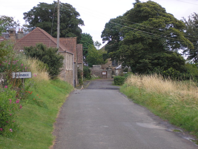
Carnbee, Fife

Carnbee is a village and rural parish in the inland part of the East Neuk of Fife, Scotland. == Location == It lies to the north of Anstruther and Pittenweem...

Kingsbarns railway station

Kingsbarns railway station served the village of Kingsbarns, Fife, Scotland from 1883 to 1930 on the Fife Coast Railway. == History == The station opened...

Boarhills railway station

Boarhills railway station served the hamlet of Boarhills, Fife, Scotland from 1883 to 1930 on the Anstruther and St Andrews Railway. == History == The...

Nearby Amenities

Located within 500m of 56.280245,-2.7408571
Newbridge
Place: hamlet
Lat/Long: 56.2794302/-2.7417453
Beleybridge
Place: hamlet
Lat/Long: 56.2810788/-2.7425657
Power: pole
Lat/Long: 56.2824073/-2.746679
Power: pole
Lat/Long: 56.2820271/-2.7457214
Power: pole
Lat/Long: 56.2817056/-2.7449224
Power: pole
Lat/Long: 56.281411/-2.7441487
Power: pole
Lat/Long: 56.2812104/-2.7436456
Power: pole
Lat/Long: 56.2809229/-2.7419102
Power: pole
Lat/Long: 56.280876/-2.7411175
Power: pole
Lat/Long: 56.2807856/-2.740069
Power: pole
Lat/Long: 56.28068/-2.7388832
Power: pole
Lat/Long: 56.2805697/-2.7375958
Power: pole
Lat/Long: 56.2804606/-2.7363381
Power: pole
Lat/Long: 56.2803632/-2.7352791
Power: pole
Lat/Long: 56.2802681/-2.7340615
Power: pole
Lat/Long: 56.2805615/-2.7328651
The data included in this document is from www.openstreetmap.org. The data is made available under ODbL.

Have you been to Beleybridge?

Leave your review of Beleybridge below (or comments, questions and feedback).