Beesby

Settlement in Lincolnshire

England

Beesby

Westfield Farm, Hawerby: aerial 2021
Westfield Farm, Hawerby: aerial 2021 Credit: Chris

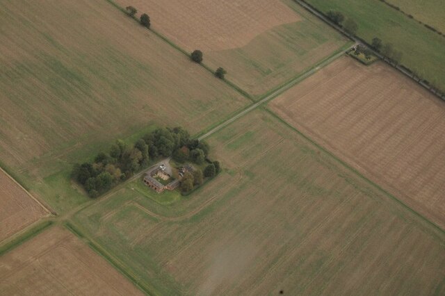
Beesby is a small village located in the East Lindsey district of Lincolnshire, England. Situated approximately 5 miles north-west of the market town of Louth, it is a rural settlement with a population of around 100 residents. The village is nestled amidst picturesque countryside, offering a tranquil and idyllic setting for its inhabitants.

Historically, Beesby has existed for centuries, with evidence of human settlement dating back to the Roman era. The village is characterized by its charming stone cottages, many of which have been well-preserved and retain their original architecture.

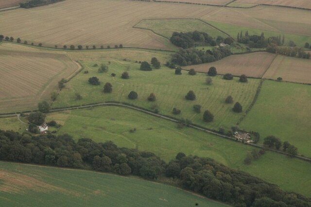
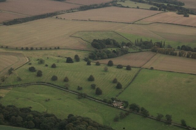
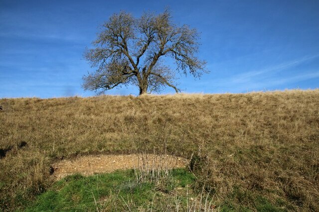
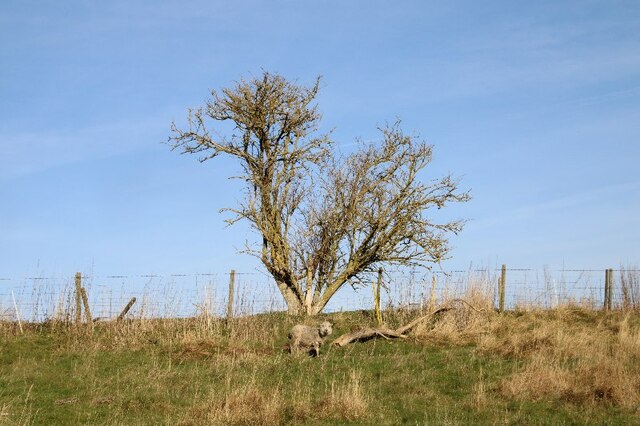
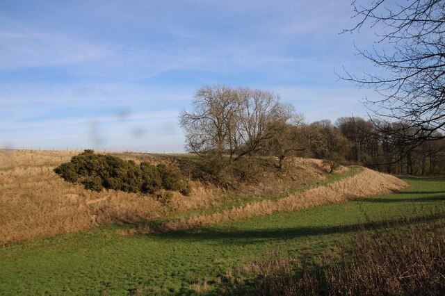
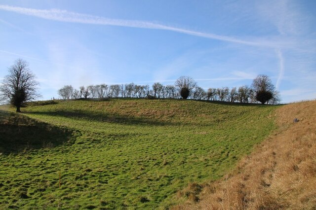
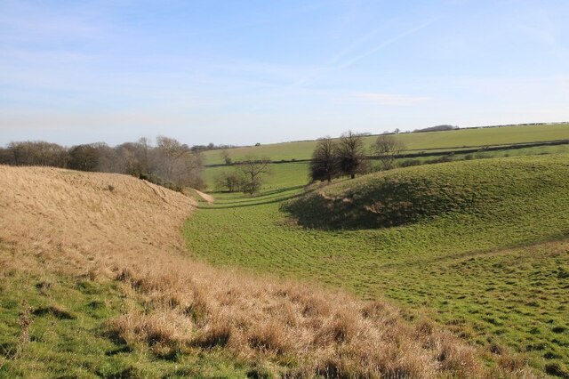
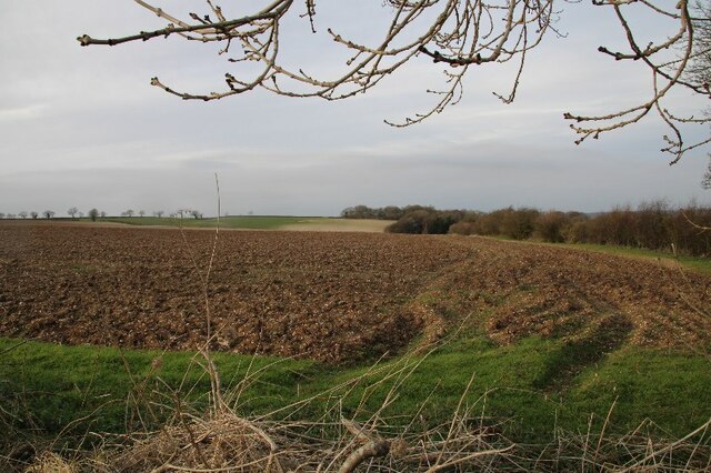
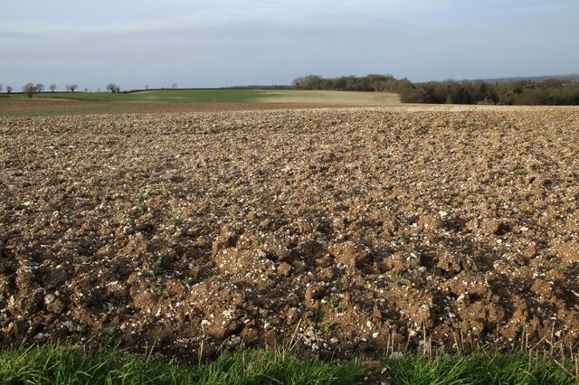
Beesby does not have any notable landmarks or attractions; however, its appeal lies in its natural beauty and traditional charm. Surrounded by rolling hills and expansive fields, the village provides ample opportunities for countryside walks and cycling routes. The nearby Wolds Way, a long-distance footpath, offers stunning views and is a popular trail for nature enthusiasts.

Despite its small size, Beesby has a strong sense of community, with residents actively involved in local initiatives and events. The village hosts an annual summer fete, bringing together locals and visitors for a day of celebration. Additionally, Beesby has a small village hall that serves as a gathering place for social activities and meetings.

Being a rural village, amenities are limited in Beesby. The nearest shops, schools, and medical facilities can be found in the nearby towns of Louth and Grimsby, both of which are easily accessible by car or public transport.

In summary, Beesby is a charming and peaceful village in Lincolnshire, offering a serene countryside escape for its residents and visitors alike.

If you have any feedback on the listing, please let us know in the comments section below.

Beesby Images

Images are sourced within 2km of 53.453593/-0.090644147 or Grid Reference TF2696. Thanks to Geograph Open Source API. All images are credited.

Westfield Farm, Hawerby: aerial 2021
Beesby DMV: aerial 2021 (1) Mentioned in "Beresford's Lost Villages": <span class="nowrap"><a title="http://www.dmvhull.org/dmvDetail.cfm?dbkey=3727&county=true" rel="nofollow ugc noopener" href="http://www.dmvhull.org/dmvDetail.cfm?dbkey=3727&county=true">Link</a><img style="margin-left:2px;" alt="External link" title="External link - shift click to open in new window" src="https://s1.geograph.org.uk/img/external.png" width="10" height="10"/></span>

Otherwise seems to be undocumented.
Beesby DMV: aerial 2021 (1)
Mentioned in "Beresford's Lost Villages": LinkExternal link Otherwise seems to be undocumented.
Beesby DMV: aerial 2021 (2) Mentioned in "Beresford's Lost Villages": <span class="nowrap"><a title="http://www.dmvhull.org/dmvDetail.cfm?dbkey=3727&county=true" rel="nofollow ugc noopener" href="http://www.dmvhull.org/dmvDetail.cfm?dbkey=3727&county=true">Link</a><img style="margin-left:2px;" alt="External link" title="External link - shift click to open in new window" src="https://s1.geograph.org.uk/img/external.png" width="10" height="10"/></span>

Otherwise seems to be undocumented.
Beesby DMV: aerial 2021 (2)
Mentioned in "Beresford's Lost Villages": LinkExternal link Otherwise seems to be undocumented.
Near Hawerby: an offering to the Wanderlust Gods or a rescue package for exhausted walkers? Beside the Wanderlust Way.
Near Hawerby: an offering to the Wanderlust Gods or a rescue package for exhausted walkers?
Beside the Wanderlust Way.
Glacial valley, Beesby, near the Wanderlust Way (1)
The one that got away? Lone sheep near Beesby, by the Wanderlust Way
The Valley, approaching Wold Newton
Glacial valley, Beesby, near the Wanderlust Way (2)
Glacial valley, Beesby, near the Wanderlust Way (3)
Glacial valley, Beesby, near the Wanderlust Way (4)
Chalky soil, and more chalky soil, near Hawerby (1) The field in the distance seems to be more chalk than soil.
Chalky soil, and more chalky soil, near Hawerby (1)
The field in the distance seems to be more chalk than soil.
Chalky soil, and more chalky soil, near Hawerby (2)
Cadeby DMV: aerial 2022 See: <span class="nowrap"><a title="https://www.heritagegateway.org.uk/Gateway/Results_Single.aspx?uid=MLI43622&resourceID=1006" rel="nofollow ugc noopener" href="https://www.heritagegateway.org.uk/Gateway/Results_Single.aspx?uid=MLI43622&resourceID=1006">Link</a><img style="margin-left:2px;" alt="External link" title="External link - shift click to open in new window" src="https://s1.geograph.org.uk/img/external.png" width="10" height="10"/></span>
Cadeby DMV: aerial 2022
See: LinkExternal link
Historic settlement of Beesby: aerial 2022 (1) See: <span class="nowrap"><a title="https://www.heritagegateway.org.uk/Gateway/Results_Single.aspx?uid=MNL234&resourceID=1039" rel="nofollow ugc noopener" href="https://www.heritagegateway.org.uk/Gateway/Results_Single.aspx?uid=MNL234&resourceID=1039">Link</a><img style="margin-left:2px;" alt="External link" title="External link - shift click to open in new window" src="https://s1.geograph.org.uk/img/external.png" width="10" height="10"/></span>
Historic settlement of Beesby: aerial 2022 (1)
See: LinkExternal link
Historic settlement of Beesby: aerial 2022 (2) See: <span class="nowrap"><a title="https://www.heritagegateway.org.uk/Gateway/Results_Single.aspx?uid=MNL234&resourceID=1039" rel="nofollow ugc noopener" href="https://www.heritagegateway.org.uk/Gateway/Results_Single.aspx?uid=MNL234&resourceID=1039">Link</a><img style="margin-left:2px;" alt="External link" title="External link - shift click to open in new window" src="https://s1.geograph.org.uk/img/external.png" width="10" height="10"/></span>
Historic settlement of Beesby: aerial 2022 (2)
See: LinkExternal link
Cadeby Hall (1) See <span class="nowrap"><a title="https://www.heritagegateway.org.uk/Gateway/Results_Single.aspx?uid=MLI83090&resourceID=1006" rel="nofollow ugc noopener" href="https://www.heritagegateway.org.uk/Gateway/Results_Single.aspx?uid=MLI83090&resourceID=1006">Link</a><img style="margin-left:2px;" alt="External link" title="External link - shift click to open in new window" src="https://s1.geograph.org.uk/img/external.png" width="10" height="10"/></span>
Cadeby Hall (1)
See LinkExternal link
Cadeby Hall (2) See <span class="nowrap"><a title="https://www.heritagegateway.org.uk/Gateway/Results_Single.aspx?uid=MLI83090&resourceID=1006" rel="nofollow ugc noopener" href="https://www.heritagegateway.org.uk/Gateway/Results_Single.aspx?uid=MLI83090&resourceID=1006">Link</a><img style="margin-left:2px;" alt="External link" title="External link - shift click to open in new window" src="https://s1.geograph.org.uk/img/external.png" width="10" height="10"/></span>
Cadeby Hall (2)
See LinkExternal link
Dovecote, Cadeby Hall Farm 2022 (1) See also <a href="https://www.geograph.org.uk/photo/3037426">TF2695 : Dovecote by Cadeby Hall Farm (2)</a>.
Dovecote, Cadeby Hall Farm 2022 (1)
Show me another place!

Beesby is located at Grid Ref: TF2696 (Lat: 53.453593, Lng: -0.090644147)

Division: Parts of Lindsey

Unitary Authority: North East Lincolnshire

Police Authority: Humberside

What 3 Words

///staples.poets.commutes. Near North Thoresby, Lincolnshire

Related Wikis

Wyham cum Cadeby

Wyham cum Cadeby (otherwise Wyham with Caldeby) is a depopulated civil parish in the East Lindsey district of Lincolnshire, England. The nearest village...

Wold Newton, Lincolnshire

Wold Newton is a village and civil parish in North East Lincolnshire, England. It is situated just over 1 mile (1.6 km) west from the A18 road, 7 miles...

Grainsby

Grainsby is a hamlet and civil parish in the East Lindsey district of Lincolnshire, England. It is situated 5 miles (8 km) south from Grimsby, and just...

North Thoresby

North Thoresby is a village and civil parish in the East Lindsey district of Lincolnshire, England. It is situated between Louth and Grimsby, approximately...

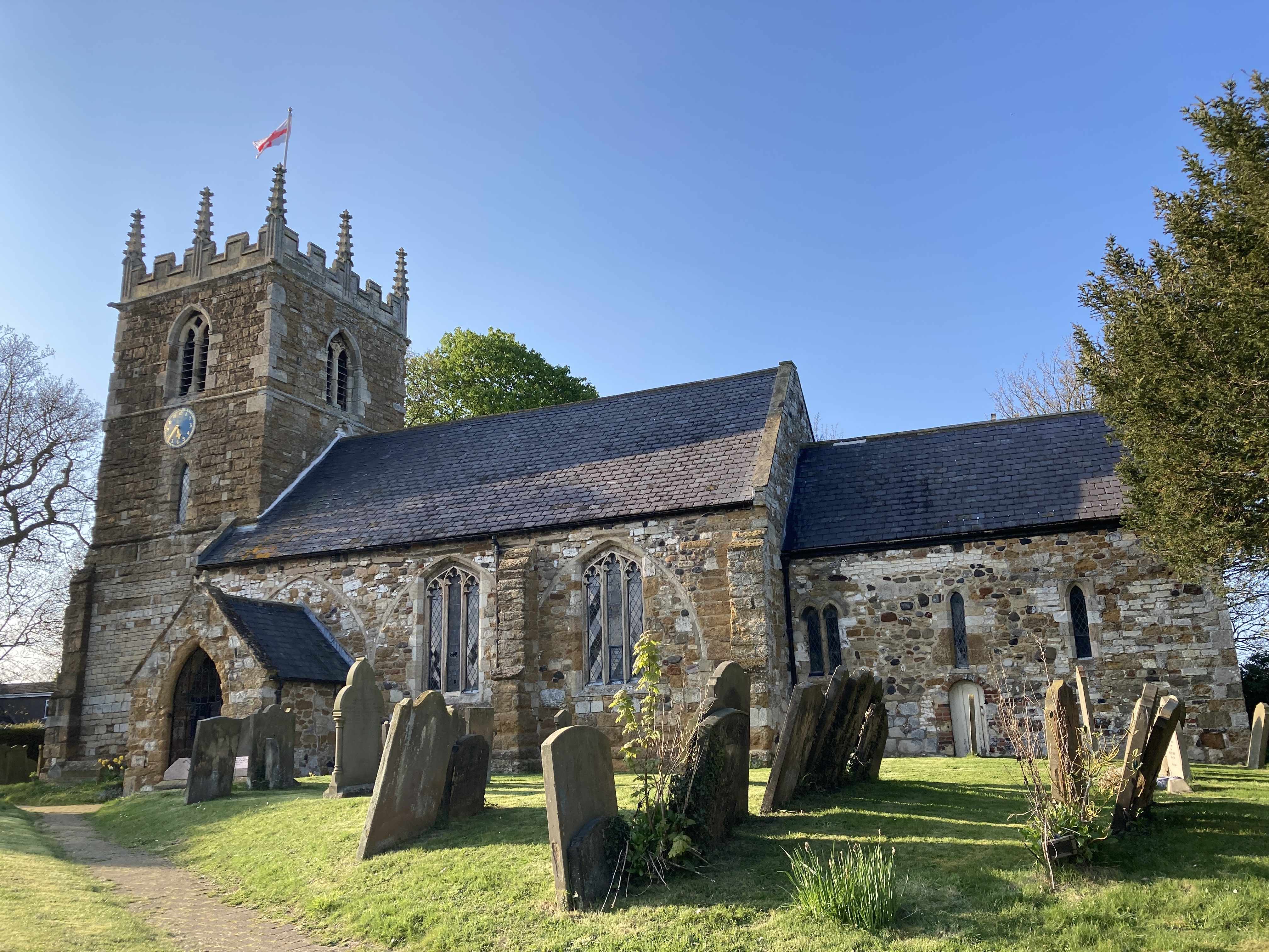
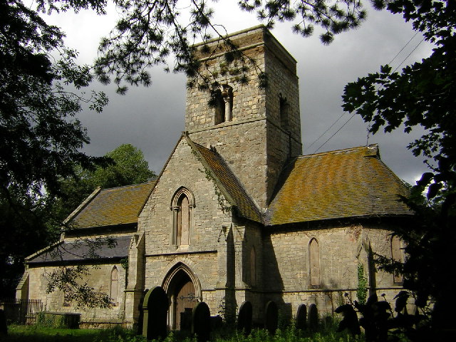
St Helen's Church, North Thoresby

St Helen's Church is the Anglican parish church in the village of North Thoresby in Lincolnshire, England. Built of squared limestone rubble, chalk and...

Ludborough

Ludborough is a village and civil parish in the East Lindsey district of Lincolnshire, England. It is situated approximately 5 miles (8 km) north from...

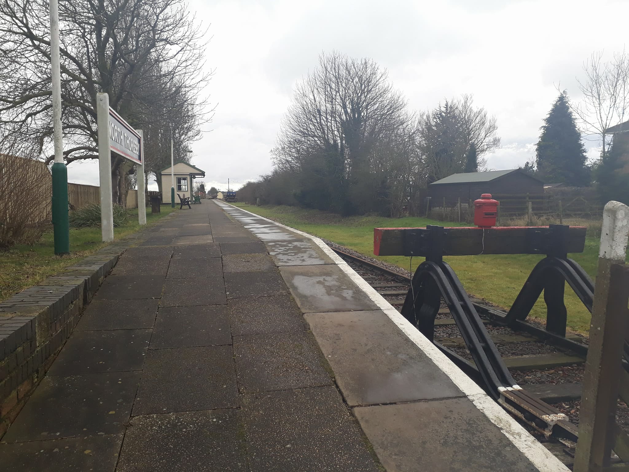
North Thoresby railway station

North Thoresby is a heritage railway station in North Thoresby, Lincolnshire. The station, which was previously part of the East Lincolnshire Railway,...

Waithe

Waithe (or Waythe) is a hamlet and civil parish in the East Lindsey district of Lincolnshire, England. It is on the A16, 1 mile (1.6 km) south from Holton...

Nearby Amenities

Located within 500m of 53.453593,-0.090644147
Beesby
Is In: Lincolnshire, England, UK
Place: hamlet
Source: npe
Lat/Long: 53.4501414/-0.0948214
Bus Stop
Barton Street Crossroads
Naptan AtcoCode: 270000014356
Naptan Bearing: SE
Naptan CommonName: Barton Street Crossroads
Naptan Indicator: SE - bound
Naptan Landmark: Crossroads
Naptan NaptanCode: linjpjtg
Naptan Street: Barton Street
Naptan Verified: no
Source: naptan_import
Lat/Long: 53.4568345/-0.0882089
Bus Stop
Barton Street Crossroads
Naptan AtcoCode: 270000014357
Naptan Bearing: NW
Naptan CommonName: Barton Street Crossroads
Naptan Indicator: NW - bound
Naptan Landmark: Crossroads
Naptan NaptanCode: linjpjtj
Naptan Street: Barton Street
Naptan Verified: no
Source: naptan_import
Lat/Long: 53.4567655/-0.0883927
Cadeby House
Place: isolated_dwelling
Source: Bing
Lat/Long: 53.4526719/-0.0838456
Power: pole
Lat/Long: 53.4510814/-0.0937432
Power: pole
Lat/Long: 53.4506885/-0.0926811
Power: pole
Lat/Long: 53.4503467/-0.0917798
Power: pole
Lat/Long: 53.4498259/-0.0908947
Power: pole
Lat/Long: 53.4493723/-0.0901973
The data included in this document is from www.openstreetmap.org. The data is made available under ODbL.

Have you been to Beesby?

Leave your review of Beesby below (or comments, questions and feedback).