Bear Flat
Settlement in Somerset
England
Bear Flat

Bear Flat is a charming residential area located in the historic city of Bath, Somerset, in southwestern England. Situated on the southern slopes of Bath, Bear Flat offers picturesque views of the city's skyline and the surrounding countryside. The area is known for its peaceful atmosphere and close-knit community.
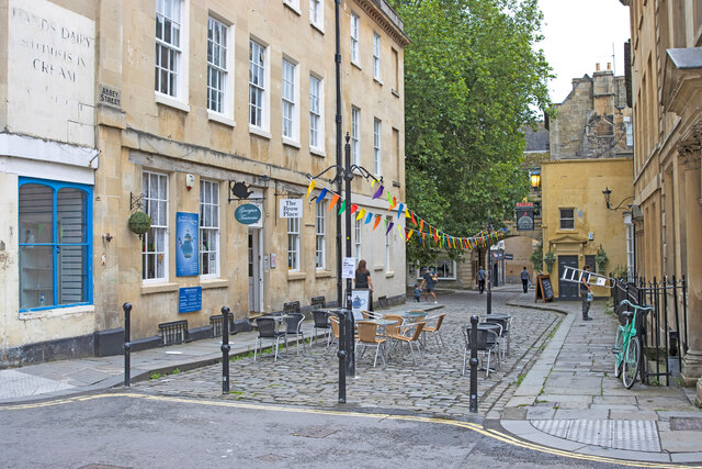
The heart of Bear Flat is its bustling high street, which is lined with a variety of independent shops, cafes, and restaurants. Here, residents and visitors can find everything they need, from groceries and artisanal products to clothing and unique gifts. The vibrant local businesses contribute to the area's distinct character and provide a sense of community.
The residential properties in Bear Flat are predominantly Victorian and Georgian-style houses, giving the area a timeless charm. Many of these homes have been well-preserved, retaining their original architectural features and adding to the overall aesthetic appeal of the neighborhood.
Bear Flat benefits from its close proximity to Bath city center, which is just a short walk or bus ride away. This allows residents to easily access the city's amenities, including its famous Roman baths, stunning architecture, and renowned cultural attractions.
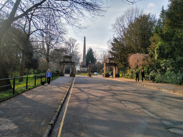
In addition to its convenient location, Bear Flat is surrounded by beautiful green spaces, such as Alexandra Park and Bear Flat Gardens. These parks provide opportunities for outdoor activities, picnics, and leisurely walks, adding to the overall quality of life in the area.
Overall, Bear Flat is a desirable residential area that offers a peaceful and picturesque setting, a thriving local community, and easy access to the vibrant city of Bath.
If you have any feedback on the listing, please let us know in the comments section below.
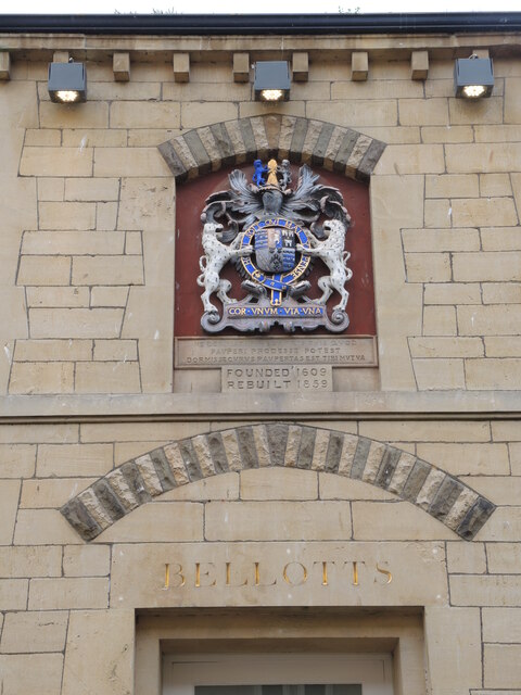
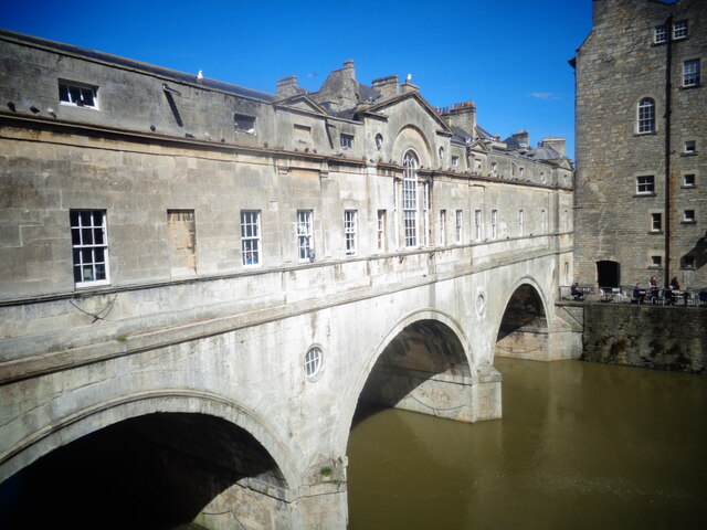
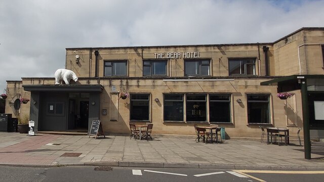
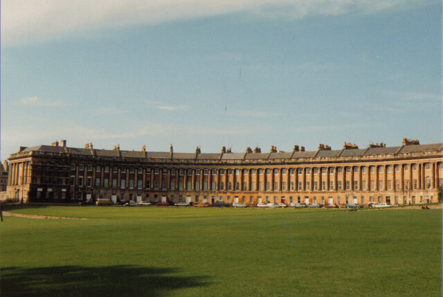
Bear Flat Images
Images are sourced within 2km of 51.369808/-2.3657053 or Grid Reference ST7463. Thanks to Geograph Open Source API. All images are credited.


Bear Flat is located at Grid Ref: ST7463 (Lat: 51.369808, Lng: -2.3657053)
Unitary Authority: Bath and North East Somerset
Police Authority: Avon and Somerset
What 3 Words
///splash.wicked.spirit. Near Bath, Somerset
Nearby Locations
Related Wikis
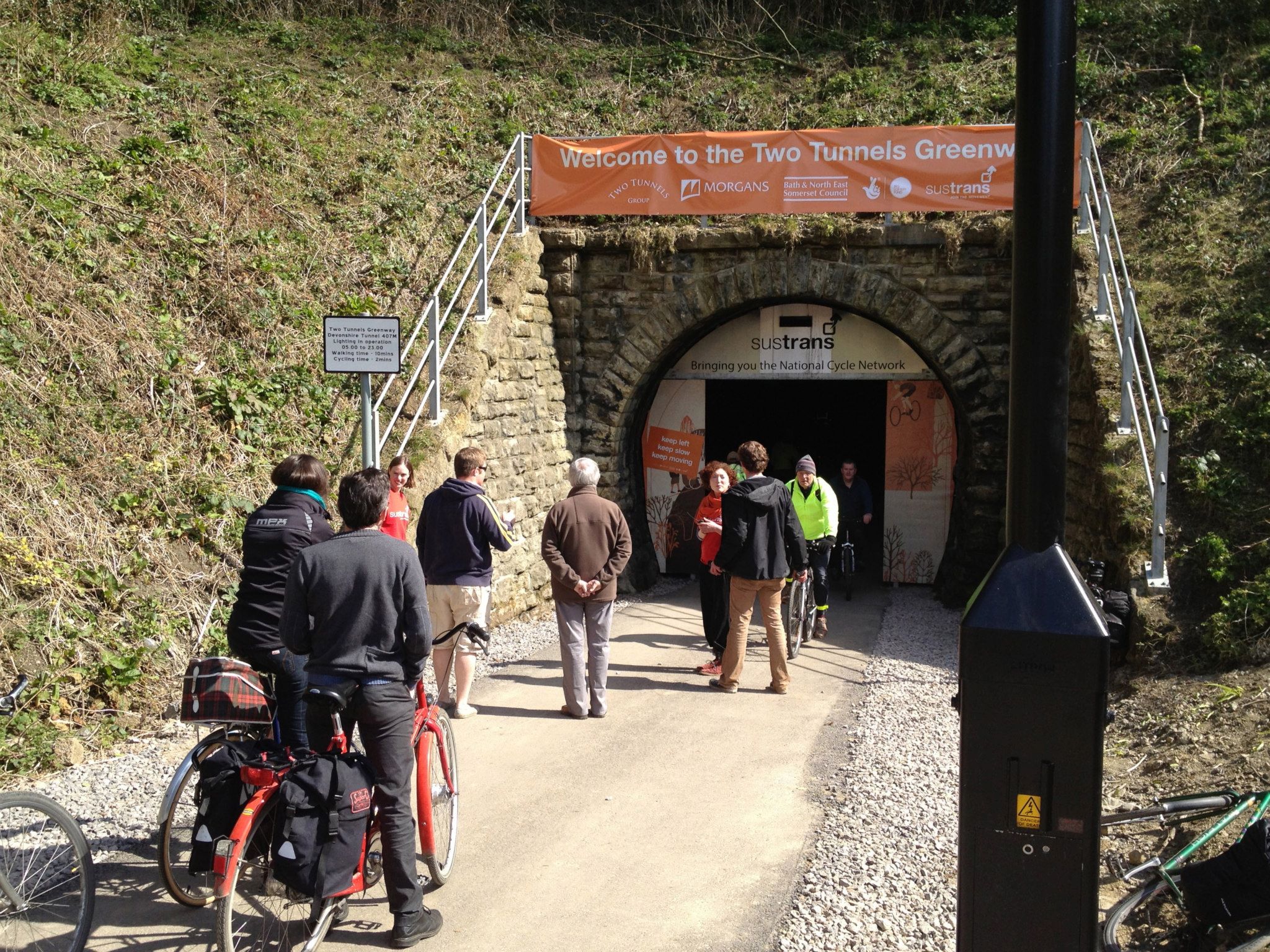
Devonshire Tunnel
Devonshire Tunnel is on the closed Somerset & Dorset Joint Railway main line, between Midford and Bath Green Park railway stations, below high ground and...

Bear Flat
Bear Flat is a neighbourhood within the city of Bath, Somerset, England, to the south of the city centre and to the west of Beechen Cliff (a heavily wooded...

Beechen Cliff School
Beechen Cliff School is a boys' secondary school in Bath, Somerset, England, with about 1,150 pupils. Its earliest predecessor school was founded in 1896...

Lyncombe, Bath
Lyncombe is a district and electoral ward in Bath, Somerset, and a former parish in the Diocese of Bath and Wells. In the mid-19th century the parish was...
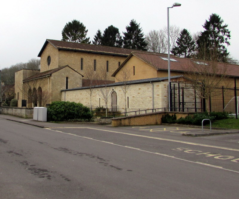
Church of Our Lady & St Alphege, Bath
The Church of Our Lady & St Alphege is a Roman Catholic church located in the Oldfield Park suburb of Bath, Somerset. The church was built between 1927...

Hayesfield Girls' School
Hayesfield Girls' School is an all-girls secondary school with a co-educational sixth form located in Bath, England. In August 2011, the school became...
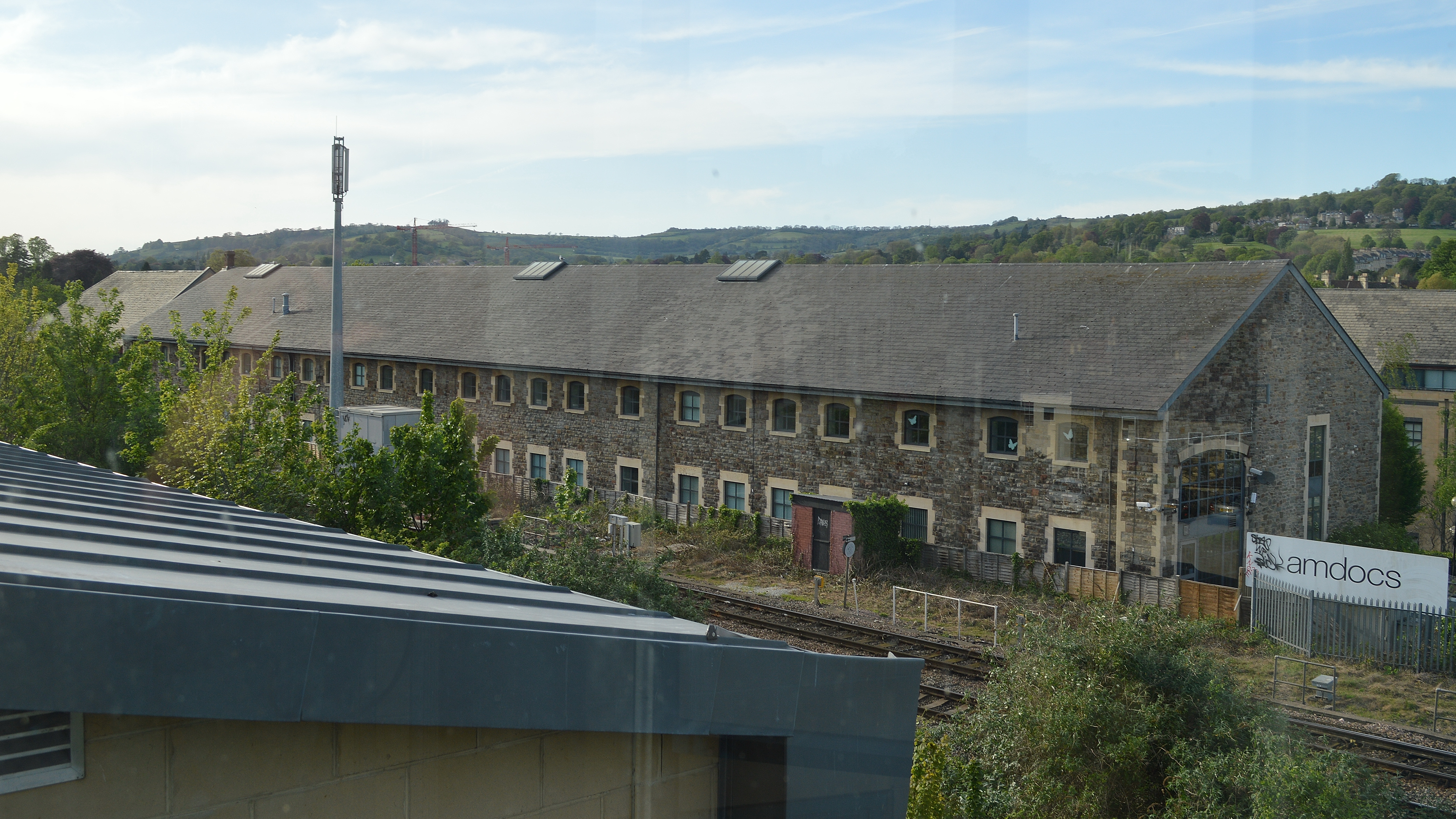
Westmoreland Road goods yard
Westmoreland Road goods yard was the main Great Western Railway goods station for the city of Bath in England, situated on the main line between the passenger...
Bath power station
Bath power station supplied electricity to the City of Bath and the wider area from 1890. The station was originally built and operated by the City of...
Nearby Amenities
Located within 500m of 51.369808,-2.3657053Have you been to Bear Flat?
Leave your review of Bear Flat below (or comments, questions and feedback).