Moorlands
Settlement in Somerset
England
Moorlands
Moorlands is a small village located in the county of Somerset, England. It is situated in the Mendip Hills, an area known for its stunning natural beauty and picturesque landscapes. The village is surrounded by rolling hills, lush green fields, and dense woodlands, making it an ideal destination for nature lovers and outdoor enthusiasts.
Moorlands is a tight-knit community, with a population of around 500 residents. The village is known for its friendly and welcoming atmosphere, where neighbors often come together to organize various community events and activities. This sense of community spirit is further emphasized by the presence of the village hall, a hub for social gatherings and local events.
Despite its small size, Moorlands boasts a number of amenities for its residents. The village has a primary school, providing education for children in the area. Additionally, there is a local pub, offering a place for residents and visitors to relax and enjoy traditional British cuisine.
For those interested in exploring the great outdoors, Moorlands offers plenty of opportunities. The village is surrounded by numerous walking and hiking trails, allowing visitors to discover the beauty of the Mendip Hills. Additionally, the nearby Cheddar Gorge, a famous limestone gorge and tourist attraction, is only a short drive away.
Overall, Moorlands is a charming village that offers a tranquil escape from the hustle and bustle of city life. Its natural beauty, sense of community, and range of amenities make it a desirable place to live or visit for those seeking a peaceful and picturesque setting.
If you have any feedback on the listing, please let us know in the comments section below.
Moorlands Images
Images are sourced within 2km of 51.367533/-2.3744065 or Grid Reference ST7463. Thanks to Geograph Open Source API. All images are credited.


Moorlands is located at Grid Ref: ST7463 (Lat: 51.367533, Lng: -2.3744065)
Unitary Authority: Bath and North East Somerset
Police Authority: Avon and Somerset
What 3 Words
///bulb.second.dates. Near Bath, Somerset
Nearby Locations
Related Wikis
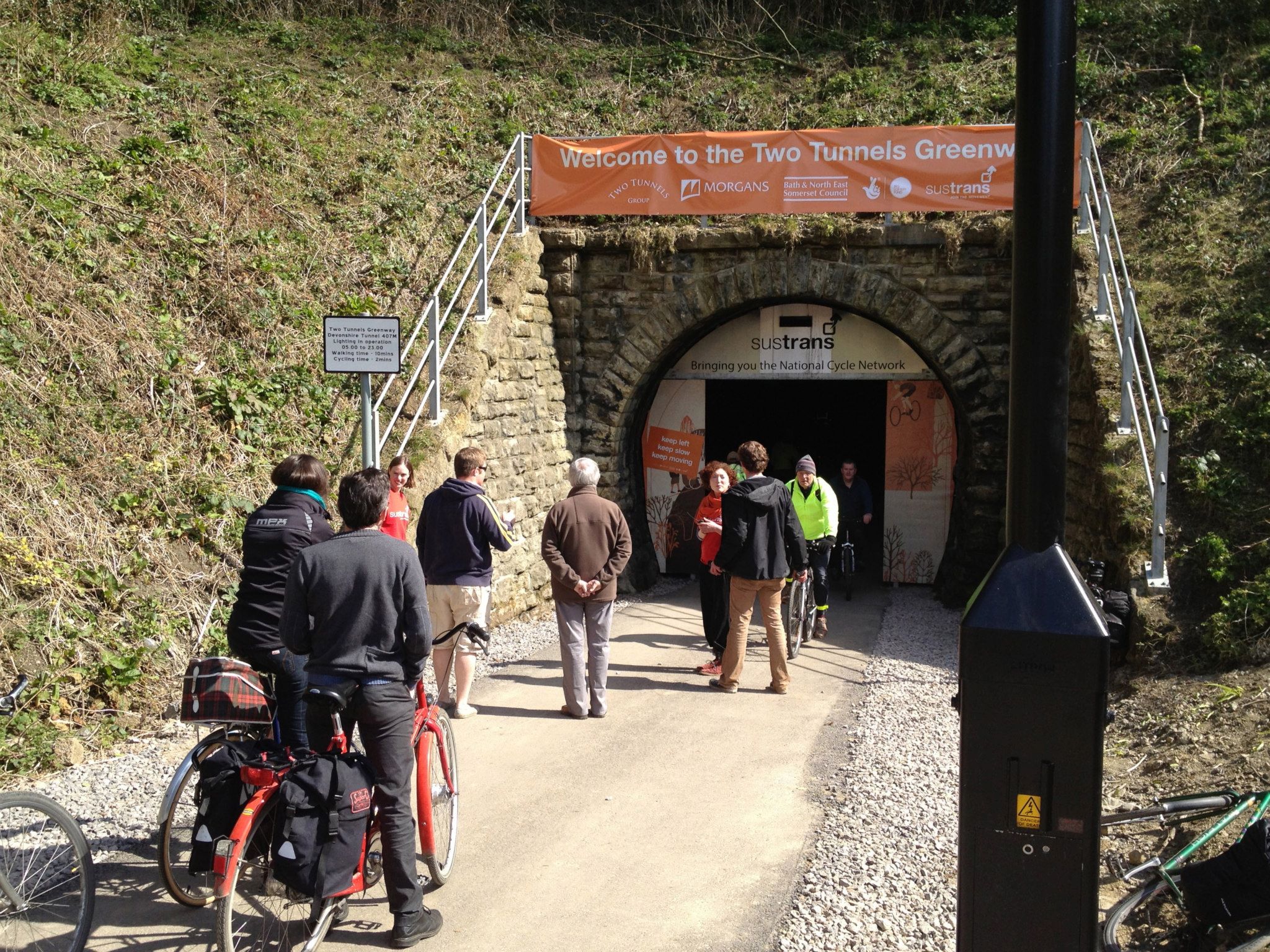
Devonshire Tunnel
Devonshire Tunnel is on the closed Somerset & Dorset Joint Railway main line, between Midford and Bath Green Park railway stations, below high ground and...
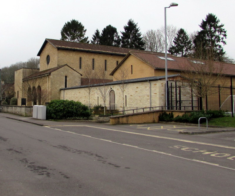
Church of Our Lady & St Alphege, Bath
The Church of Our Lady & St Alphege is a Roman Catholic church located in the Oldfield Park suburb of Bath, Somerset. The church was built between 1927...
Odd Down
Odd Down is an electoral ward in the City of Bath, England. A suburb of the city, Odd Down is located west and south of the city centre. The city ward...

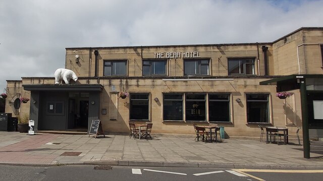
Bear Flat
Bear Flat is a neighbourhood within the city of Bath, Somerset, England, to the south of the city centre and to the west of Beechen Cliff (a heavily wooded...
Nearby Amenities
Located within 500m of 51.367533,-2.3744065Have you been to Moorlands?
Leave your review of Moorlands below (or comments, questions and feedback).