Beambridge
Settlement in Shropshire
England
Beambridge

Beambridge is a small village located in the county of Shropshire, England. Situated approximately 4 miles south of the town of Ludlow, this rural settlement is surrounded by picturesque countryside and offers a tranquil and idyllic setting for its residents.
The village is known for its charming and traditional architecture, with many of the houses dating back to the 17th and 18th centuries. Beambridge is home to a tight-knit community, with a population of around 200 residents, giving it a warm and friendly atmosphere.
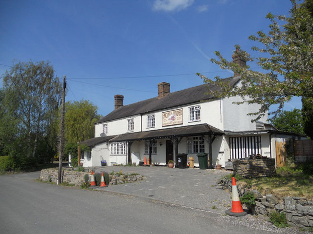
Despite its small size, Beambridge boasts a number of amenities for its residents. The village has a local pub, The Beambridge Inn, which serves as a popular meeting place for both locals and visitors. Additionally, there is a village hall which hosts various community events throughout the year, providing a space for social gatherings and activities.
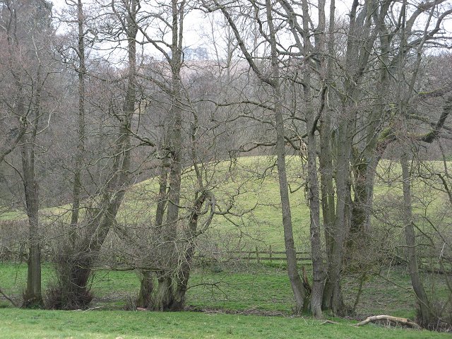
Surrounded by the stunning Shropshire Hills, Beambridge offers ample opportunities for outdoor activities. The village is located near the Mortimer Forest, a large woodland area popular for walking and cycling, providing residents with stunning views of the surrounding countryside.
In terms of transportation, Beambridge is conveniently located near the A49 road, which connects the village to nearby towns and cities. The village is also served by local bus routes, providing easy access to surrounding areas.
Overall, Beambridge is a peaceful and charming village in the heart of Shropshire, offering a close-knit community, beautiful countryside, and a range of amenities for its residents to enjoy.
If you have any feedback on the listing, please let us know in the comments section below.
Beambridge Images
Images are sourced within 2km of 52.426676/-2.9013014 or Grid Reference SO3881. Thanks to Geograph Open Source API. All images are credited.


Beambridge is located at Grid Ref: SO3881 (Lat: 52.426676, Lng: -2.9013014)
Unitary Authority: Shropshire
Police Authority: West Merica
What 3 Words
///fatigued.tapers.written. Near Craven Arms, Shropshire
Nearby Locations
Related Wikis
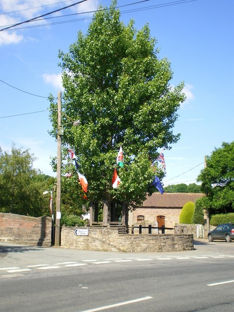
Aston on Clun
Aston on Clun is a village in south Shropshire, England. It lies near to the River Clun, with the brook from Hopesay flowing through the village itself...

River Kemp
The River Kemp is a tributary of the River Clun which flows through Shropshire, England. == Course == The river is formed from two small unnamed streams...

Broome railway station
Broome railway station serves the villages of Broome and Aston on Clun in Shropshire, England. It is on the Heart of Wales Line 22+3⁄4 miles (36.6 km)...
Broome, Shropshire
Broome () (historically: Broom) is a small village in south Shropshire, England. It has a railway station on the Heart of Wales Line, and is near to Aston...
Related Videos

Ashlea Pools Country Park: Shopshire | Lodges, Local Area & Hopton Castle
In this video the travel turtles visit Ashlea Pools Country Park, where we stayed in a lodge cabin for a lovely holiday in the UK.
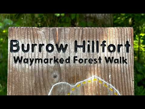
Burrow Hill Hillfort and The Arbor Tree
A May visit to Burrow Hill Hillfort, and The Arbor Tree, Aston on Clun, Shropshire. Heady vibes and a long sunny walk. Best place ...
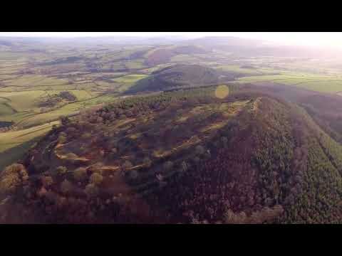
Burrow Iron Age Hill Fort Shropshire. 4K Drone
Burrow is a hill in Shropshire with an Iron Age hill fort at the summit known as Burrow Camp. The nearest villages are Hopesay ...

Nearby Amenities
Located within 500m of 52.426676,-2.9013014Have you been to Beambridge?
Leave your review of Beambridge below (or comments, questions and feedback).