Beaconhill Green
Settlement in Northumberland
England
Beaconhill Green
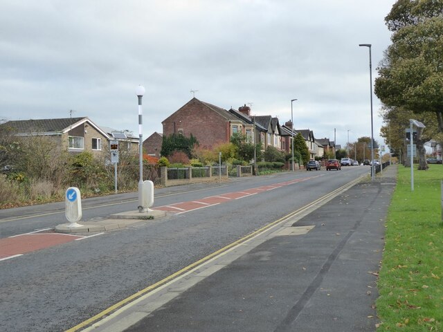
Beaconhill Green is a charming village located in the county of Northumberland, England. Situated approximately 7 miles north of the historic market town of Morpeth, this idyllic settlement offers residents and visitors a peaceful and picturesque setting.
The village is known for its stunning natural beauty, surrounded by rolling hills, lush green fields, and breathtaking landscapes. It is a haven for outdoor enthusiasts, with an abundance of walking trails and cycling routes nearby, providing opportunities to explore the stunning Northumberland countryside.
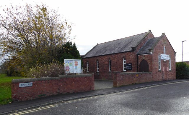
Beaconhill Green is home to a close-knit community, with a population of around 400 residents. The village boasts a small but well-maintained primary school, which caters to the educational needs of local children. For secondary education, students typically commute to nearby towns and cities.
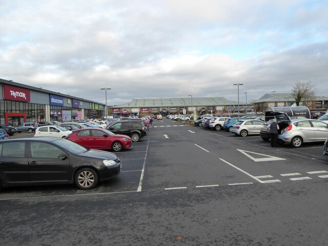
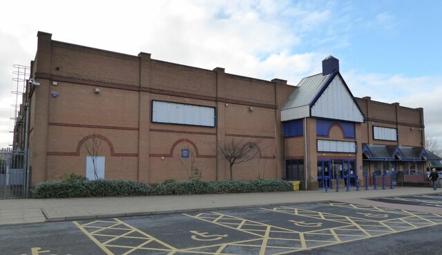
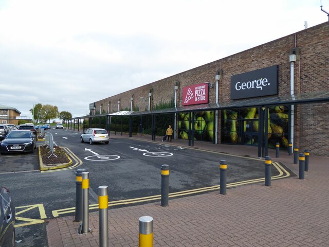
Although Beaconhill Green is predominantly residential, there are a few amenities available within the village. The local pub is a popular meeting place for both residents and visitors, offering a warm and friendly atmosphere. Additionally, there is a small convenience store that provides essential groceries and everyday items.
For those seeking a wider range of amenities, the nearby town of Morpeth offers a variety of shops, restaurants, and entertainment options. The town is easily accessible by car or public transportation.
Overall, Beaconhill Green provides a tranquil and close-knit community, surrounded by stunning natural landscapes. It is an ideal location for those seeking a peaceful retreat while remaining within reach of larger towns and cities.
If you have any feedback on the listing, please let us know in the comments section below.
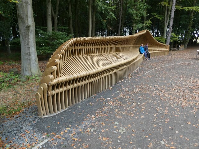
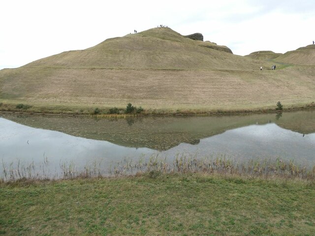
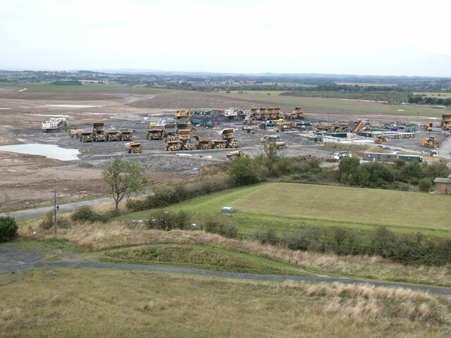
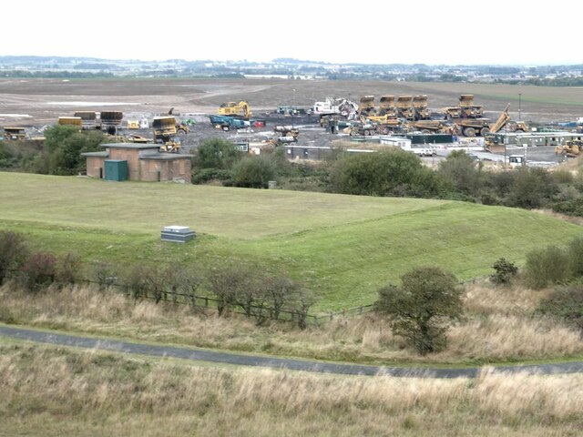
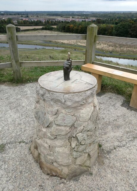
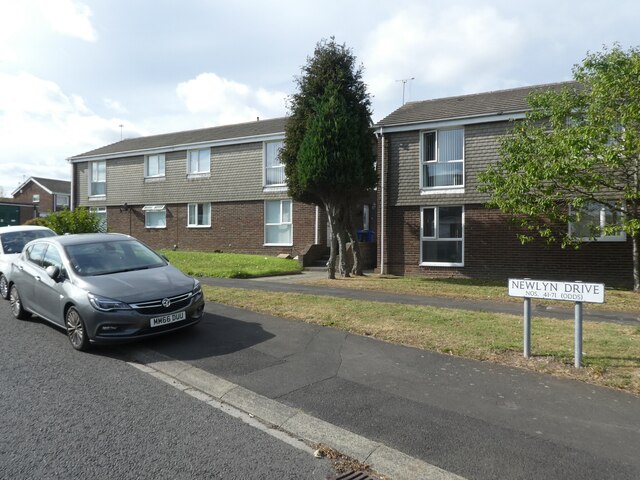
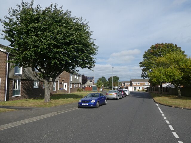
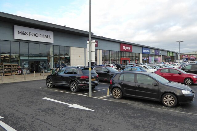
Beaconhill Green Images
Images are sourced within 2km of 55.085697/-1.6061039 or Grid Reference NZ2576. Thanks to Geograph Open Source API. All images are credited.


Beaconhill Green is located at Grid Ref: NZ2576 (Lat: 55.085697, Lng: -1.6061039)
Unitary Authority: Northumberland
Police Authority: Northumbria
What 3 Words
///dignitary.pitching.detail. Near Cramlington, Northumberland
Nearby Locations
Related Wikis

Beaconhill
Beaconhill is a housing estate in Northumberland, in England. It is in the west of Cramlington, north of Newcastle upon Tyne. It is served by a primary...

Cramlington railway station
Cramlington is a railway station on the East Coast Main Line, which runs between London King's Cross and Edinburgh Waverley. The station, situated 9 miles...

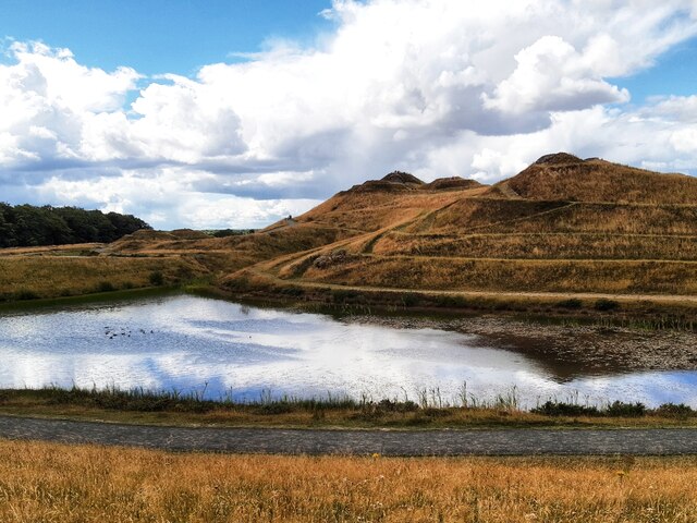
Arcot Hall Grasslands and Ponds
Arcot Hall Grasslands and Ponds is the name given to a Site of Special Scientific Interest (SSSI) near Cramlington in Northumberland, England, notable...
Cramlington Aerodrome
Cramlington Aerodrome was a military airfield established in Northumberland during the First World War. It became a civil airfield serving the Tyneside...
Cramlington Learning Village
Cramlington Learning Village, formerly Cramlington Community High School, is a large high school with academy status in Cramlington, Northumberland, England...
Seaton Valley
Seaton Valley is a civil parish at the south eastern corner of Northumberland, consisting of four villages lying between Cramlington, Blyth and Whitley...

Parkside Middle School, Cramlington
Parkside Middle School was a school in Cramlington, United Kingdom from its foundation in 1909 until 2008, when it closed as middle school functions in...
Cramlington
Cramlington is a town and civil parish in Northumberland, England, 6 miles (9.7 kilometres) north of Newcastle upon Tyne, and 10 miles (16 kilometres)...
Nearby Amenities
Located within 500m of 55.085697,-1.6061039Have you been to Beaconhill Green?
Leave your review of Beaconhill Green below (or comments, questions and feedback).