Beaconhill Lea
Settlement in Northumberland
England
Beaconhill Lea
Beaconhill Lea is a tranquil village located in the county of Northumberland, England. Situated in the heart of the Northumberland National Park, this picturesque village offers breathtaking views of the surrounding countryside and is a haven for nature enthusiasts and outdoor adventurers.
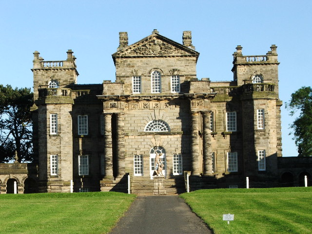
The village is characterized by its quaint charm and traditional architecture, with stone cottages and well-manicured gardens dotting the landscape. The centerpiece of Beaconhill Lea is the historic St. Mary's Church, a beautiful 12th-century structure that attracts visitors from far and wide.
Nature lovers flock to Beaconhill Lea for its proximity to the Northumberland National Park, which is renowned for its diverse wildlife and stunning landscapes. The village serves as an ideal base for exploring the park's vast network of walking trails, where visitors can discover ancient woodlands, rolling hills, and picturesque lakes.
Despite its idyllic rural setting, Beaconhill Lea is conveniently located near several amenities. The nearby market town of Hexham offers a range of shops, cafes, and restaurants, as well as a bustling weekly market. Additionally, the village is well-connected by road, making it easily accessible to other towns and cities in the region.
Overall, Beaconhill Lea is a hidden gem in Northumberland, offering a peaceful retreat from the hustle and bustle of city life. Its natural beauty, rich history, and warm community make it a truly special place for residents and visitors alike.
If you have any feedback on the listing, please let us know in the comments section below.
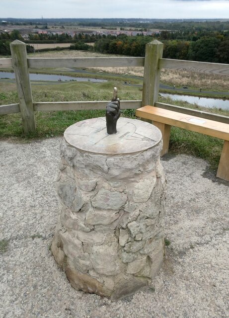
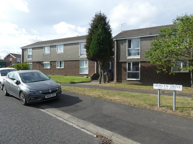
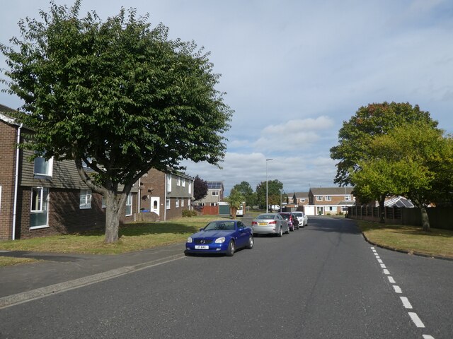
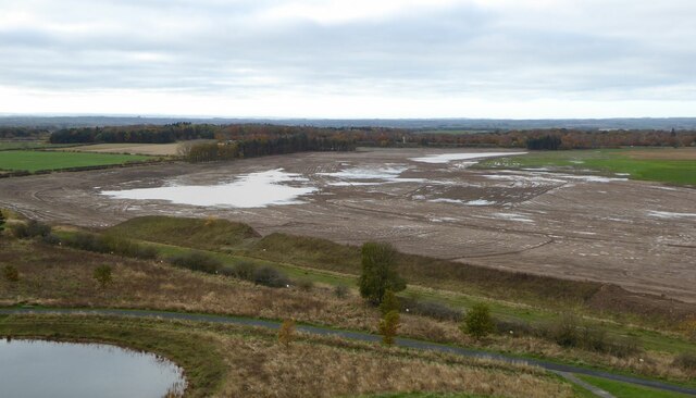
Beaconhill Lea Images
Images are sourced within 2km of 55.086037/-1.6140902 or Grid Reference NZ2476. Thanks to Geograph Open Source API. All images are credited.


Beaconhill Lea is located at Grid Ref: NZ2476 (Lat: 55.086037, Lng: -1.6140902)
Unitary Authority: Northumberland
Police Authority: Northumbria
What 3 Words
///elect.wording.steady. Near Cramlington, Northumberland
Nearby Locations
Related Wikis

Beaconhill
Beaconhill is a housing estate in Northumberland, in England. It is in the west of Cramlington, north of Newcastle upon Tyne. It is served by a primary...
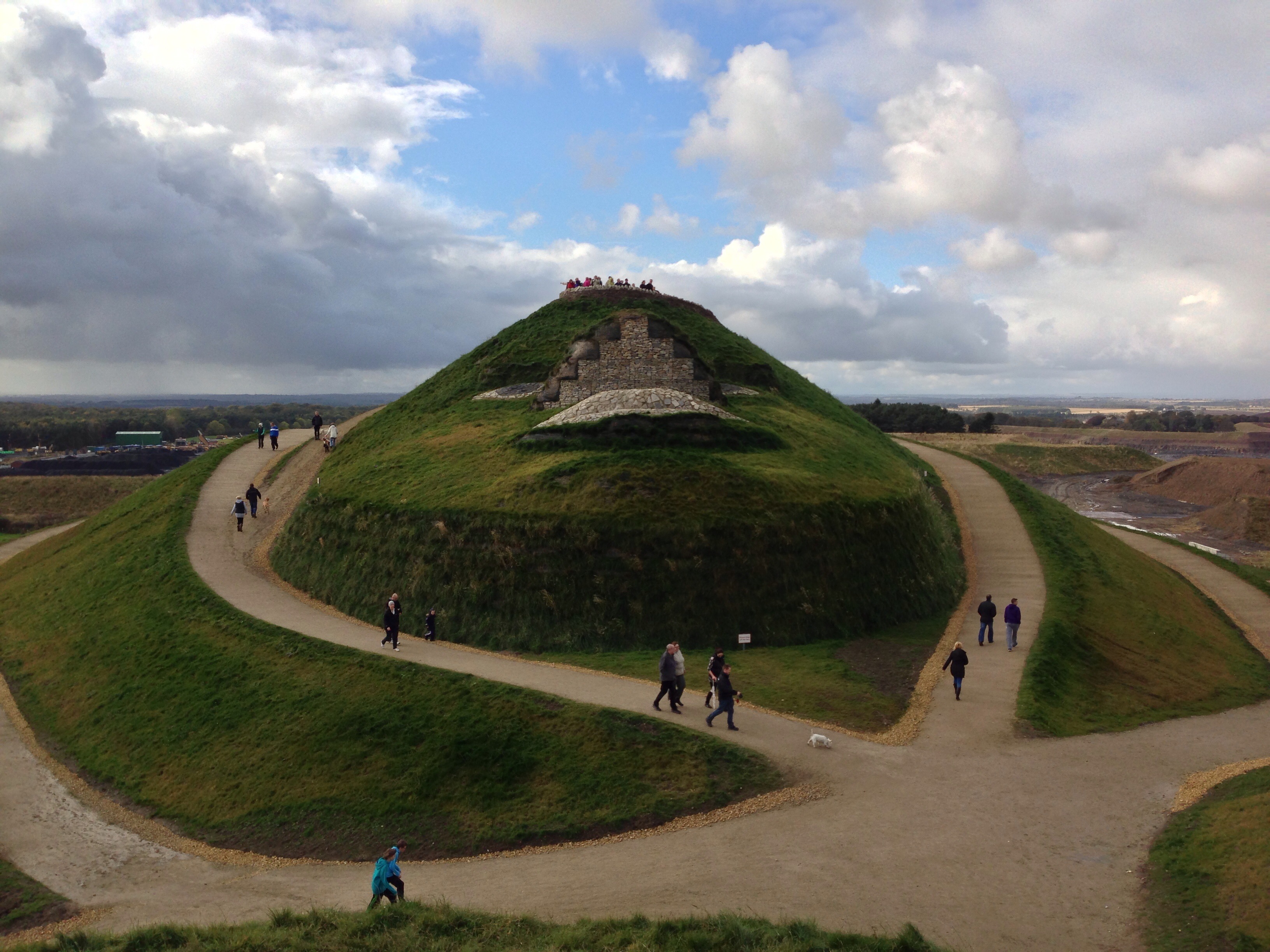
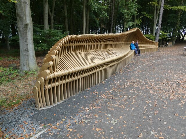
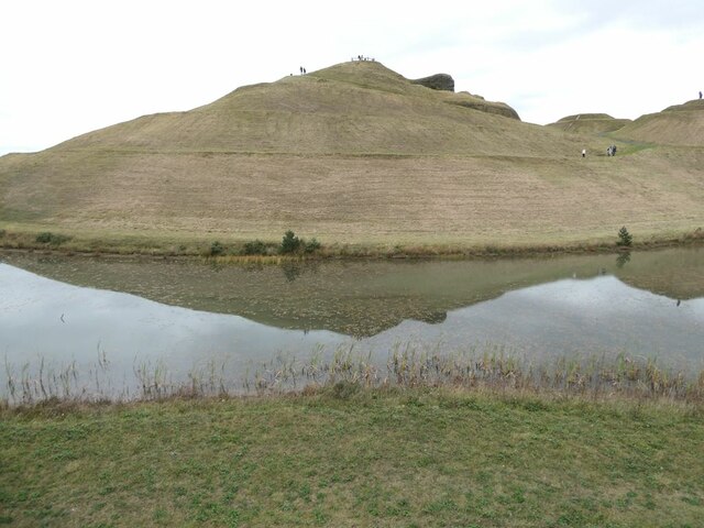
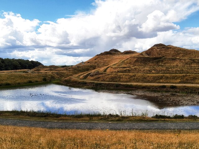
Northumberlandia
Northumberlandia (the "Lady of the North") is a huge land art sculpture in the shape of a reclining female figure, which was completed in 2012, near Cramlington...
Cramlington Aerodrome
Cramlington Aerodrome was a military airfield established in Northumberland during the First World War. It became a civil airfield serving the Tyneside...

Cramlington railway station
Cramlington is a railway station on the East Coast Main Line, which runs between London King's Cross and Edinburgh Waverley. The station, situated 9 miles...

Arcot Hall Grasslands and Ponds
Arcot Hall Grasslands and Ponds is the name given to a Site of Special Scientific Interest (SSSI) near Cramlington in Northumberland, England, notable...
Cramlington Learning Village
Cramlington Learning Village, formerly Cramlington Community High School, is a large high school with academy status in Cramlington, Northumberland, England...

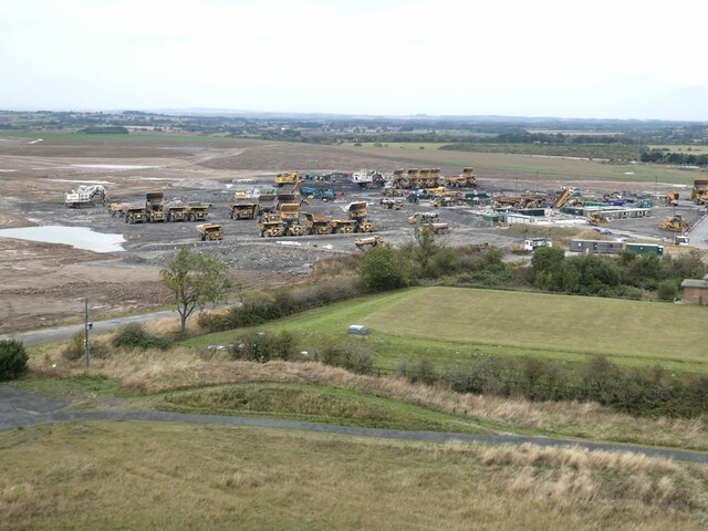
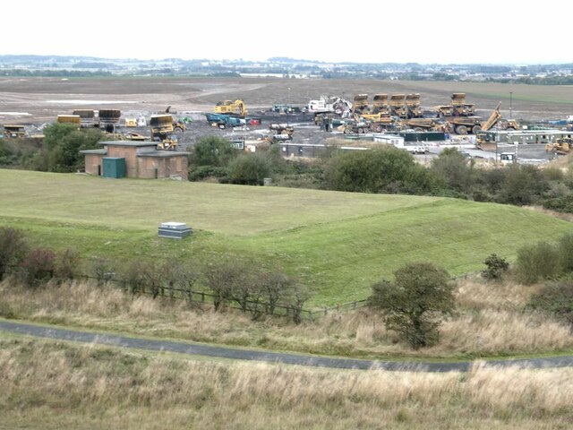
Shotton Surface Mine
Shotton Surface Mine was an open cast coal mine located on the estate of Blagdon Hall, Northumberland, UK, operated by Banks Group. The mine was granted...
Seaton Valley
Seaton Valley is a civil parish at the south eastern corner of Northumberland, consisting of four villages lying between Cramlington, Blyth and Whitley...
Related Videos

Introducing Enviro-Point's Travel Safe Portable Hygiene Kit
Introducing Enviro-Point's Travel Safe Portable Hygiene Kit - Each Kit contains: 2 Disposable Face Masks 2 Pairs of Medical ...

Walking in the Air from The Snowman (Classical Guitar)
An exciting, original arrangement for classical guitar by Simon Dawson of Walking in the Air by Howard Blake from The Snowman.


Exploring UK’s largest BREASTS to celebrate being CANCER free
Please watch: "Van Life STORM in Isle of Wight | Awning Disaster" https://www.youtube.com/watch?v=QsjRLZUK4TM This is our ...
Nearby Amenities
Located within 500m of 55.086037,-1.6140902Have you been to Beaconhill Lea?
Leave your review of Beaconhill Lea below (or comments, questions and feedback).