Beaconhill Grange

Settlement in Northumberland

England

Beaconhill Grange

Elongated seat at the entrance to Northumberlandia A new feature since my last visit in 2018.
Elongated seat at the entrance to Northumberlandia Credit: Oliver Dixon

Beaconhill Grange is a charming village located in the picturesque county of Northumberland, England. Situated just a few miles north of the historic market town of Morpeth, this idyllic location offers residents and visitors a peaceful and scenic retreat.

Surrounded by lush green fields and rolling countryside, Beaconhill Grange is known for its stunning natural beauty. The village itself is small but well-maintained, with a close-knit community that prides itself on its friendly and welcoming atmosphere.

One of the main attractions of Beaconhill Grange is its proximity to the Northumberland National Park. This vast and unspoiled wilderness is a haven for outdoor enthusiasts, offering countless opportunities for hiking, cycling, and wildlife spotting. The park is also home to Hadrian's Wall, a UNESCO World Heritage Site that dates back to Roman times.

In terms of amenities, Beaconhill Grange has a local pub, The Grange Arms, which serves delicious homemade food and a wide selection of beverages. There is also a village hall that hosts various community events throughout the year, including fairs, concerts, and social gatherings.

For those seeking a peaceful and rural lifestyle, Beaconhill Grange provides the perfect setting. With its stunning natural surroundings, friendly community, and easy access to both the Northumberland National Park and nearby towns, this village offers a tranquil retreat for residents and a delightful destination for visitors.

If you have any feedback on the listing, please let us know in the comments section below.

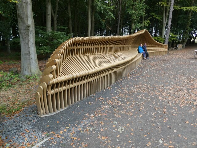
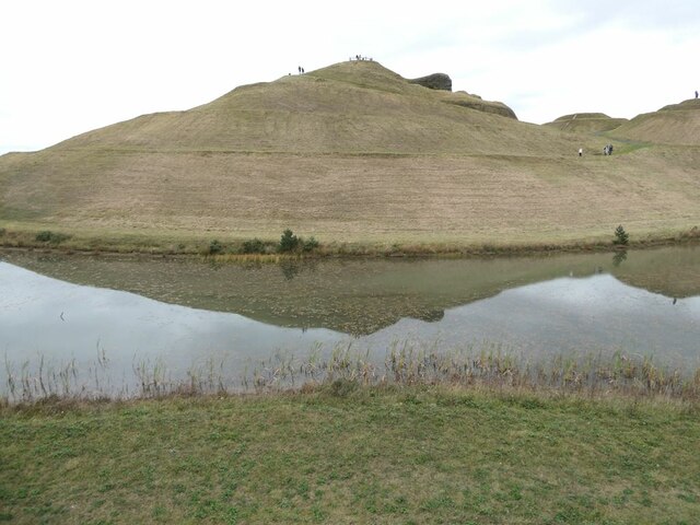
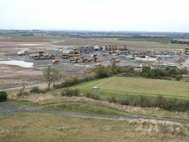
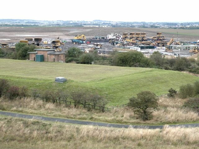
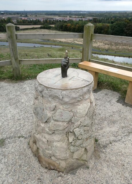
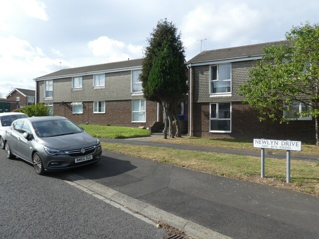
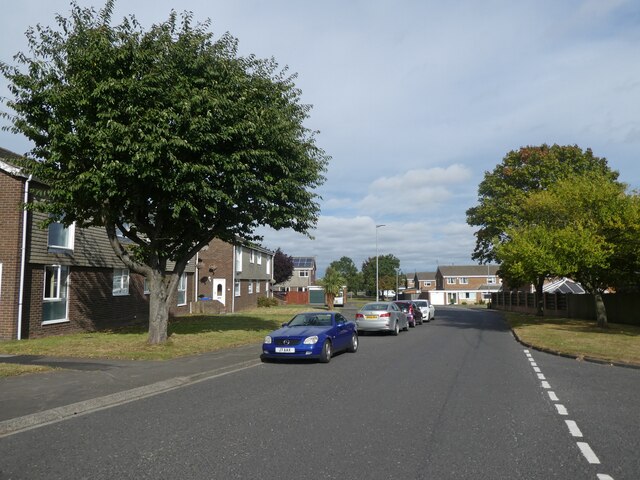
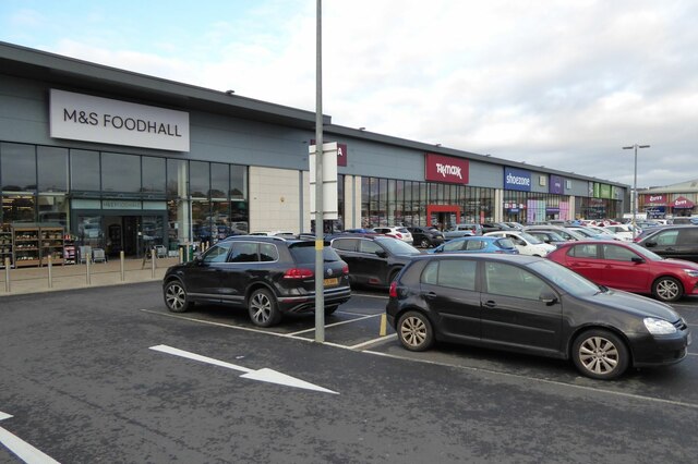
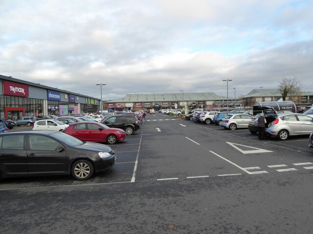
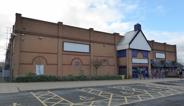
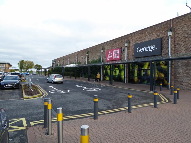
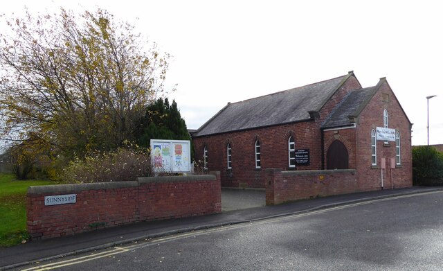
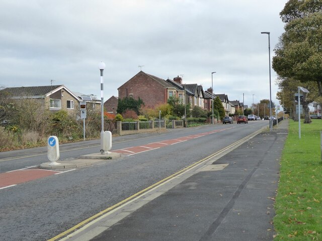
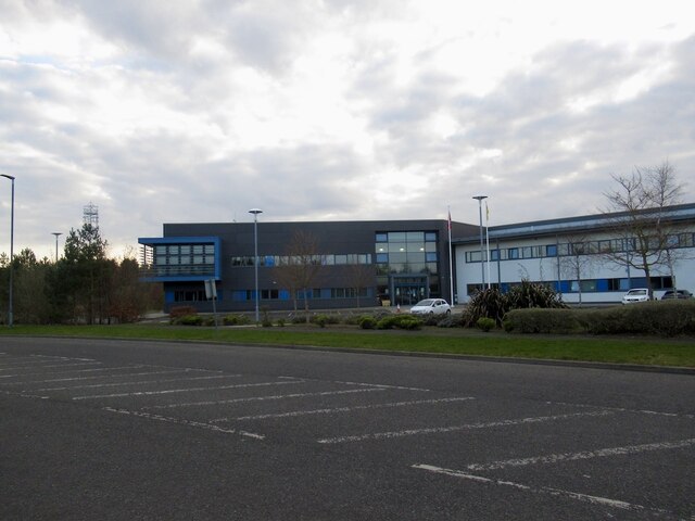
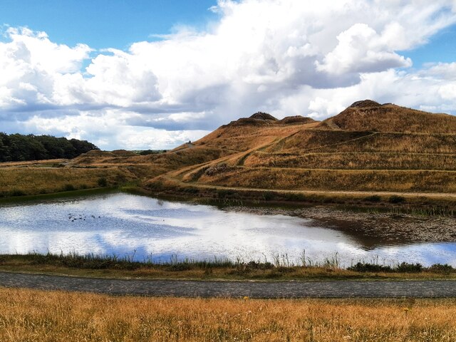
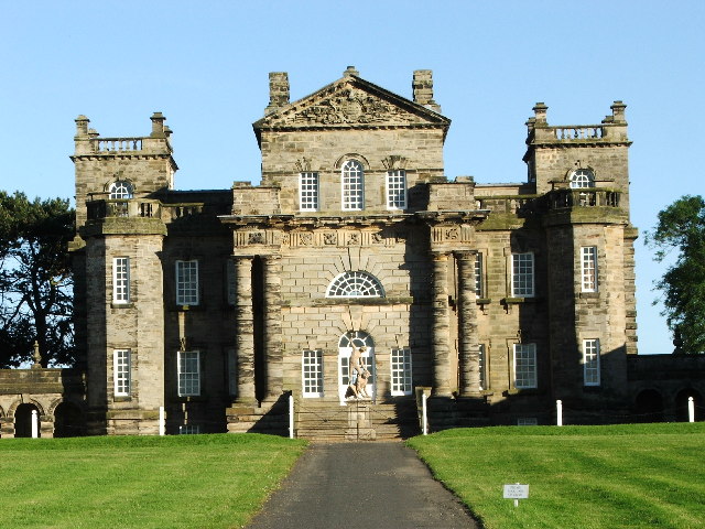
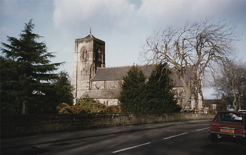
Beaconhill Grange Images

Images are sourced within 2km of 55.087434/-1.6042225 or Grid Reference NZ2577. Thanks to Geograph Open Source API. All images are credited.

Elongated seat at the entrance to Northumberlandia A new feature since my last visit in 2018.
Elongated seat at the entrance to Northumberlandia
A new feature since my last visit in 2018.
Visitor centre at Northumberlandia Incorporating a cafe. An improvement on the facilities eight years ago - see <a href="https://www.geograph.org.uk/photo/3320046">NZ2376 : Coffee stop on the way to Northumberlandia</a>.
Visitor centre at Northumberlandia
Incorporating a cafe. An improvement on the facilities eight years ago - see NZ2376 : Coffee stop on the way to Northumberlandia.
Northumberlandia - face Since my last visit in 2018 (see <a href="https://www.geograph.org.uk/photo/5832496">NZ2377 : Face of Northumberlandia</a>), Northumberlandia has been the subject of an extensive makeover, with paths repaired and vegetation tidied up.
Northumberlandia - face
Since my last visit in 2018 (see NZ2377 : Face of Northumberlandia), Northumberlandia has been the subject of an extensive makeover, with paths repaired and vegetation tidied up.
Shotton Surface Mine Since my last visit in 2018 (see <a href="https://www.geograph.org.uk/photo/5832492">NZ2377 : Opencast mining at Cramlington</a>), Shotton Surface Mine has ceased extraction, and work is concentrated on restoring the land to its former appearance. There is a small covered reservoir in the foreground.
Shotton Surface Mine
Since my last visit in 2018 (see NZ2377 : Opencast mining at Cramlington), Shotton Surface Mine has ceased extraction, and work is concentrated on restoring the land to its former appearance. There is a small covered reservoir in the foreground.
Gold finger Since a previous visit in 2015 (see <a href="https://www.geograph.org.uk/photo/4708388">NZ2377 : Strange object on Northumberlandia's forehead</a>) the pointing finger has apparently turned to gold, no doubt because so many visitors have rubbed it.
Gold finger
Since a previous visit in 2015 (see NZ2377 : Strange object on Northumberlandia's forehead) the pointing finger has apparently turned to gold, no doubt because so many visitors have rubbed it.
Houses on Newlyn Drive, Cramlington
Newlyn Drive, Cramlington
Shotten Surface Mine  The huge hole has been filled and final clearing up is in progress.
See  <a title="https://www.geograph.org.uk/photo/3623898" href="https://www.geograph.org.uk/photo/3623898">Link</a>  as it was before filling.
The top soil that was heaped in the foreground has been replaced.
In the distance grass is growing on more reinstated land.
Some further draining might be required!
Shotten Surface Mine
The huge hole has been filled and final clearing up is in progress. See Link as it was before filling. The top soil that was heaped in the foreground has been replaced. In the distance grass is growing on more reinstated land. Some further draining might be required!
Western edge of Cramlington's shopping centre With M&S Foodhall, T.k.maxx and Shoezone prominent.
Western edge of Cramlington's shopping centre
With M&S Foodhall, T.k.maxx and Shoezone prominent.
Parking at Cramlington's shopping centre A wide range of shops form the perimeter.
Parking at Cramlington's shopping centre
A wide range of shops form the perimeter.
Closed Buzz Bingo Cramlington 'Everyone has been impacted by coronavirus including us here at Buzz Bingo, which means we have had to make some difficult decisions. It’s with a heavy heart we announce the proposed closure of Buzz Bingo Cramlington.' 
<span class="nowrap"><a title="https://www.buzzbingo.com/club/cramlington.html" rel="nofollow ugc noopener" href="https://www.buzzbingo.com/club/cramlington.html">Link</a><img style="margin-left:2px;" alt="External link" title="External link - shift click to open in new window" src="https://s1.geograph.org.uk/img/external.png" width="10" height="10"/></span>
Closed Buzz Bingo Cramlington
'Everyone has been impacted by coronavirus including us here at Buzz Bingo, which means we have had to make some difficult decisions. It’s with a heavy heart we announce the proposed closure of Buzz Bingo Cramlington.' LinkExternal link
George. and Hot Takeaway Pizza In-Store On Cramlington's Shopping Centre.
George. and Hot Takeaway Pizza In-Store
On Cramlington's Shopping Centre.
Welcome Methodist Church Cramlington 'Welcome to Welcome Methodist Church! Don't forget to like or follow us so you can find out about our work in Cramlington, join us for services or one of our community groups. Thanks for visiting our church page and we hope to see you soon!'  <span class="nowrap"><a title="https://www.facebook.com/Welcomemethodistchurchcramlington/" rel="nofollow ugc noopener" href="https://www.facebook.com/Welcomemethodistchurchcramlington/">Link</a><img style="margin-left:2px;" alt="External link" title="External link - shift click to open in new window" src="https://s1.geograph.org.uk/img/external.png" width="10" height="10"/></span>
Welcome Methodist Church Cramlington
'Welcome to Welcome Methodist Church! Don't forget to like or follow us so you can find out about our work in Cramlington, join us for services or one of our community groups. Thanks for visiting our church page and we hope to see you soon!' LinkExternal link
Station Road, Cramlington From the Sunnyside junction.
Station Road, Cramlington
From the Sunnyside junction.
Fire station, Cramlington On the mostly undeveloped West Hartford site and close to a roundabout on the A192.
Fire station, Cramlington
On the mostly undeveloped West Hartford site and close to a roundabout on the A192.
Northumberlandia
Northumberlandia
Show me another place!

Beaconhill Grange is located at Grid Ref: NZ2577 (Lat: 55.087434, Lng: -1.6042225)

Unitary Authority: Northumberland

Police Authority: Northumbria

What 3 Words

///author.later.symphonic. Near Cramlington, Northumberland

Related Wikis

Cramlington railway station

Cramlington is a railway station on the East Coast Main Line, which runs between London King's Cross and Edinburgh Waverley. The station, situated 9 miles...

Beaconhill

Beaconhill is a housing estate in Northumberland, in England. It is in the west of Cramlington, north of Newcastle upon Tyne. It is served by a primary...

Arcot Hall Grasslands and Ponds

Arcot Hall Grasslands and Ponds is the name given to a Site of Special Scientific Interest (SSSI) near Cramlington in Northumberland, England, notable...

Parkside Middle School, Cramlington

Parkside Middle School was a school in Cramlington, United Kingdom from its foundation in 1909 until 2008, when it closed as middle school functions in...

Seaton Valley

Seaton Valley is a civil parish at the south eastern corner of Northumberland, consisting of four villages lying between Cramlington, Blyth and Whitley...

Cramlington Aerodrome

Cramlington Aerodrome was a military airfield established in Northumberland during the First World War. It became a civil airfield serving the Tyneside...

Cramlington

Cramlington is a town and civil parish in Northumberland, England, 6 miles (9.7 kilometres) north of Newcastle upon Tyne, and 10 miles (16 kilometres)...

Cramlington Learning Village

Cramlington Learning Village, formerly Cramlington Community High School, is a large high school with academy status in Cramlington, Northumberland, England...

Nearby Amenities

Located within 500m of 55.087434,-1.6042225
Cramlington
Public Transport: stop_position
Train: yes
Lat/Long: 55.087754/-1.5987126
Noexit: yes
Lat/Long: 55.0882977/-1.5987449
Noexit: yes
Lat/Long: 55.0898101/-1.5977241
Noexit: yes
Lat/Long: 55.0911679/-1.6000898
Noexit: yes
Lat/Long: 55.0844598/-1.6099485
Traffic Calming: table
Lat/Long: 55.0857606/-1.6106622
Noexit: yes
Lat/Long: 55.0870643/-1.6106548
Noexit: yes
Lat/Long: 55.0874721/-1.6116594
Noexit: yes
Lat/Long: 55.0875247/-1.6099704
Traffic Calming: table
Lat/Long: 55.0868349/-1.6078877
Noexit: yes
Lat/Long: 55.0869586/-1.6053146
Noexit: yes
Lat/Long: 55.0861314/-1.6065582
Noexit: yes
Lat/Long: 55.0853971/-1.6060606
Noexit: yes
Lat/Long: 55.0862722/-1.6063112
Noexit: yes
Lat/Long: 55.0858418/-1.6050305
Noexit: yes
Lat/Long: 55.0850714/-1.6051138
Noexit: yes
Lat/Long: 55.0849775/-1.6036134
Noexit: yes
Lat/Long: 55.0840245/-1.600855
Noexit: yes
Lat/Long: 55.0838517/-1.6007044
Noexit: yes
Lat/Long: 55.0841155/-1.5994547
Noexit: yes
Lat/Long: 55.0867669/-1.6041705
Noexit: yes
Lat/Long: 55.0867357/-1.6026166
Noexit: yes
Lat/Long: 55.0864982/-1.6008414
Noexit: yes
Lat/Long: 55.0849791/-1.6017393
Post Box
Post Box Type: lamp
Postal Code: NE23 8DU
Ref: NE23 612
Lat/Long: 55.0857177/-1.6026899
Noexit: yes
Lat/Long: 55.0844656/-1.6048236
Post Box
Postal Code: NE23 1HD
Ref: NE23 559
Lat/Long: 55.0906963/-1.6009852
Noexit: yes
Lat/Long: 55.0889822/-1.597803
Noexit: yes
Lat/Long: 55.0891349/-1.5979777
Noexit: yes
Lat/Long: 55.0848648/-1.6031422
Bus Stop
Naptan AtcoCode: 3100Z254770
Naptan NaptanCode: nldgdtwj
Lat/Long: 55.0873399/-1.6019509
Bus Stop
Lat/Long: 55.0875889/-1.601732
Bus Stop
Naptan AtcoCode: 3100Z250771
Naptan NaptanCode: nldgdtwm
Lat/Long: 55.0877703/-1.6089478
Bus Stop
Bench: yes
Bus: yes
Naptan AtcoCode: 3100Z249771
Naptan NaptanCode: nldagwmj
Public Transport: platform
Shelter: yes
Lat/Long: 55.088213/-1.6099948
Bicycle: no
Entrance: main
Foot: yes
Lat/Long: 55.088557/-1.5986412
Barrier: block
Bicycle: no
Foot: no
Note: Cycleway comes to an abrupt stop.
Lat/Long: 55.0866076/-1.5981987
Noexit: yes
Lat/Long: 55.0868621/-1.6039819
Cramlington
Public Transport: stop_position
Train: yes
Lat/Long: 55.0877704/-1.5986568
Noexit: yes
Lat/Long: 55.0877033/-1.6012401
Noexit: yes
Lat/Long: 55.0879127/-1.6006045
Noexit: yes
Lat/Long: 55.0882366/-1.5999344
Noexit: yes
Lat/Long: 55.0883353/-1.599985
Give Way
Direction: forward
Lat/Long: 55.0885567/-1.6012499
Noexit: yes
Lat/Long: 55.0890041/-1.6025275
Noexit: yes
Lat/Long: 55.0886612/-1.6005027
Noexit: yes
Lat/Long: 55.0889964/-1.6008925
Noexit: yes
Lat/Long: 55.0884329/-1.5987741
Traffic Calming: table
Lat/Long: 55.0894716/-1.5996279
Noexit: yes
Lat/Long: 55.0890631/-1.602516
Barrier: bollard
Bicycle: yes
Foot: yes
Horse: yes
Material: metal
Lat/Long: 55.0880115/-1.6012831
Noexit: yes
Lat/Long: 55.0894199/-1.6028007
Noexit: yes
Lat/Long: 55.0917619/-1.6020996
Noexit: yes
Lat/Long: 55.0903814/-1.5994146
Noexit: yes
Lat/Long: 55.0903419/-1.5995611
Give Way
Direction: backward
Lat/Long: 55.0881396/-1.6046925
Noexit: yes
Lat/Long: 55.0848179/-1.6025367
Noexit: yes
Lat/Long: 55.0852239/-1.6036311
Noexit: yes
Lat/Long: 55.0866033/-1.6006337
Noexit: yes
Lat/Long: 55.0869164/-1.60886
Noexit: yes
Lat/Long: 55.0834132/-1.6015926
Colour: green
Man Made: street_cabinet
Operator: Openreach
Ref: 15
Telecom: service_device
Utility: telecom
Lat/Long: 55.0892521/-1.5983136
Noexit: yes
Lat/Long: 55.08644/-1.6113575
Cramlington
Addr City: Cramlington
Addr County: Northumberland
Addr Postcode: NE23 1ER
Addr Street: Station Road
Naptan AtcoCode: 9100CRMLNGT
Network: National Rail
Network Website: https://www.nationalrail.co.uk/stations/crm/
Network Wikidata: Q26334
Operator: Northern
Operator Website: https://www.northernrailway.co.uk/stations/cramlington
Operator Wikidata: Q85789775
Public Transport: station
Railway: station
Ref Crs: CRM
Wikidata: Q2007937
Wikipedia: en:Cramlington railway station
Lat/Long: 55.0877627/-1.5986832
Man Made: crane
Lat/Long: 55.089391/-1.6062563
Noexit: yes
Lat/Long: 55.088967/-1.6016301
Give Way
Direction: forward
Lat/Long: 55.0874841/-1.6014639
Give Way
Direction: forward
Lat/Long: 55.0880383/-1.6026634
Give Way
Direction: forward
Lat/Long: 55.087601/-1.6013408
Vending Machine
Operator: Northern
Payment Cash: no
Payment Cheque: no
Vending: public_transport_tickets
Lat/Long: 55.0877409/-1.598509
Give Way
Direction: forward
Lat/Long: 55.0886158/-1.6024946
Noexit: yes
Lat/Long: 55.0868217/-1.6025047
Traffic Signals
Direction: forward
Lat/Long: 55.0875224/-1.6042085
Traffic Signals
Direction: forward
Lat/Long: 55.0875027/-1.6041492
Traffic Signals
Direction: forward
Lat/Long: 55.087509/-1.6043137
Traffic Signals
Direction: forward
Lat/Long: 55.0877407/-1.6043664
Traffic Signals
Direction: forward
Lat/Long: 55.087594/-1.6040212
Give Way
Direction: forward
Lat/Long: 55.0839145/-1.6001389
Noexit: yes
Lat/Long: 55.084968/-1.599871
Traffic Calming: table
Lat/Long: 55.0857166/-1.6004356
Traffic Calming: table
Lat/Long: 55.0858082/-1.6013644
Traffic Calming: table
Lat/Long: 55.0859853/-1.6028972
Traffic Calming: table
Lat/Long: 55.0868296/-1.6110291
Traffic Calming: table
Lat/Long: 55.0856779/-1.605923
Traffic Calming: table
Lat/Long: 55.0856086/-1.6047116
Traffic Calming: table
Lat/Long: 55.0865008/-1.6052309
Traffic Calming: table
Lat/Long: 55.0866235/-1.6066499
Noexit: yes
Lat/Long: 55.08587/-1.604851
Noexit: yes
Lat/Long: 55.08516/-1.6052353
Generator Method: photovoltaic
Generator Output Electricity: yes
Generator Source: solar
Generator Type: solar_photovoltaic_panel
Location: roof
Power: generator
Lat/Long: 55.0861857/-1.6069299
Generator Method: photovoltaic
Generator Output Electricity: yes
Generator Source: solar
Generator Type: solar_photovoltaic_panel
Location: roof
Power: generator
Lat/Long: 55.0858529/-1.6065217
Generator Method: photovoltaic
Generator Output Electricity: yes
Generator Source: solar
Generator Type: solar_photovoltaic_panel
Location: roof
Power: generator
Lat/Long: 55.0855657/-1.6062668
Generator Method: photovoltaic
Generator Output Electricity: yes
Generator Source: solar
Generator Type: solar_photovoltaic_panel
Location: roof
Power: generator
Lat/Long: 55.0855612/-1.6061892
Generator Method: photovoltaic
Generator Output Electricity: yes
Generator Source: solar
Generator Type: solar_photovoltaic_panel
Location: roof
Power: generator
Lat/Long: 55.0852421/-1.6069279
Generator Method: photovoltaic
Generator Output Electricity: yes
Generator Source: solar
Generator Type: solar_photovoltaic_panel
Location: roof
Power: generator
Lat/Long: 55.085955/-1.6075442
Generator Method: photovoltaic
Generator Output Electricity: yes
Generator Source: solar
Generator Type: solar_photovoltaic_panel
Location: roof
Power: generator
Lat/Long: 55.0870063/-1.6084831
Generator Method: photovoltaic
Generator Output Electricity: yes
Generator Source: solar
Generator Type: solar_photovoltaic_panel
Location: roof
Power: generator
Lat/Long: 55.0871009/-1.6053986
Generator Method: photovoltaic
Generator Output Electricity: yes
Generator Source: solar
Generator Type: solar_photovoltaic_panel
Location: roof
Power: generator
Lat/Long: 55.0866792/-1.6056495
Generator Method: photovoltaic
Generator Output Electricity: yes
Generator Source: solar
Generator Type: solar_photovoltaic_panel
Location: roof
Power: generator
Lat/Long: 55.0843166/-1.6005976
Generator Method: photovoltaic
Generator Output Electricity: yes
Generator Source: solar
Generator Type: solar_photovoltaic_panel
Location: roof
Power: generator
Lat/Long: 55.0843838/-1.6018581
Generator Method: photovoltaic
Generator Output Electricity: yes
Generator Source: solar
Generator Type: solar_photovoltaic_panel
Location: roof
Power: generator
Lat/Long: 55.0842949/-1.6019716
Generator Method: photovoltaic
Generator Output Electricity: yes
Generator Source: solar
Generator Type: solar_photovoltaic_panel
Location: roof
Power: generator
Lat/Long: 55.0839929/-1.6017506
Give Way
Direction: forward
Lat/Long: 55.0856144/-1.6044081
Give Way
Direction: forward
Lat/Long: 55.0865358/-1.6046859
Give Way
Direction: forward
Lat/Long: 55.0860979/-1.604287
Noexit: yes
Lat/Long: 55.0865094/-1.5992356
Noexit: yes
Lat/Long: 55.0843413/-1.5993683
Give Way
Direction: forward
Lat/Long: 55.085686/-1.6007354
Give Way
Direction: forward
Lat/Long: 55.0859064/-1.6026194
Give Way
Direction: forward
Lat/Long: 55.0861273/-1.6038586
Give Way
Direction: forward
Lat/Long: 55.0859134/-1.6019388
Give Way
Direction: forward
Lat/Long: 55.085753/-1.6000147
Give Way
Direction: forward
Lat/Long: 55.0843966/-1.6000875
Give Way
Direction: forward
Lat/Long: 55.0839493/-1.6020938
Give Way
Direction: forward
Lat/Long: 55.083697/-1.6012829
Give Way
Direction: forward
Lat/Long: 55.0841065/-1.6032344
Noexit: yes
Lat/Long: 55.0891205/-1.5988145
Noexit: yes
Lat/Long: 55.0903242/-1.5991718
Noexit: yes
Lat/Long: 55.0889038/-1.5990804
Give Way
Direction: forward
Lat/Long: 55.0894032/-1.5983966
Traffic Calming: table
Lat/Long: 55.0893783/-1.5984254
Noexit: yes
Lat/Long: 55.0904742/-1.6003114
Traffic Calming: table
Lat/Long: 55.0910848/-1.6009223
Turning Circle
Lat/Long: 55.0912714/-1.6021722
Traffic Calming: table
Lat/Long: 55.090716/-1.6004418
Crossing
Lat/Long: 55.08889/-1.596871
Crossing
Lat/Long: 55.0888438/-1.5968744
Crossing
Button Operated: yes
Crossing: traffic_signals
Crossing Island: yes
Crossing Markings: lines
Crossing Ref: toucan
Kerb: lowered
Tactile Paving: yes
Traffic Signals Sound: yes
Lat/Long: 55.0877708/-1.5964295
Defibrillator
Access: yes
Defibrillator Location: Cramlington Station Car Park wall
Defibrillator Type: AED
Emergency: defibrillator
Opening Hours: 24/7
Operator: NEAS
Phone: +44 999
Source: survey
Wheelchair: yes
Lat/Long: 55.0876967/-1.5984557
Give Way
Direction: forward
Lat/Long: 55.0888021/-1.5982601
Traffic Calming: cushion
Lat/Long: 55.0888391/-1.5974367
Give Way
Direction: forward
Lat/Long: 55.0880978/-1.5980115
Station Information
Information: board
Ref: Northern Trains
Tourism: information
Lat/Long: 55.0876839/-1.5984443
The data included in this document is from www.openstreetmap.org. The data is made available under ODbL.

Have you been to Beaconhill Grange?

Leave your review of Beaconhill Grange below (or comments, questions and feedback).